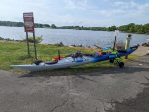
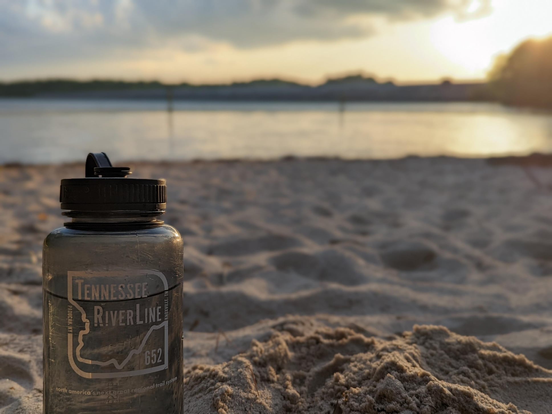
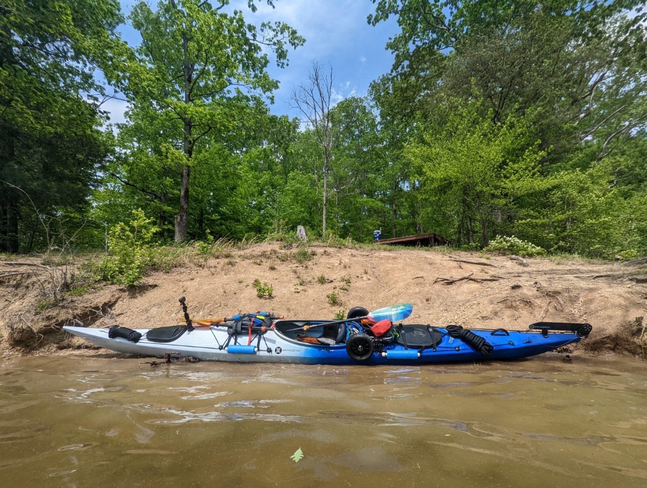
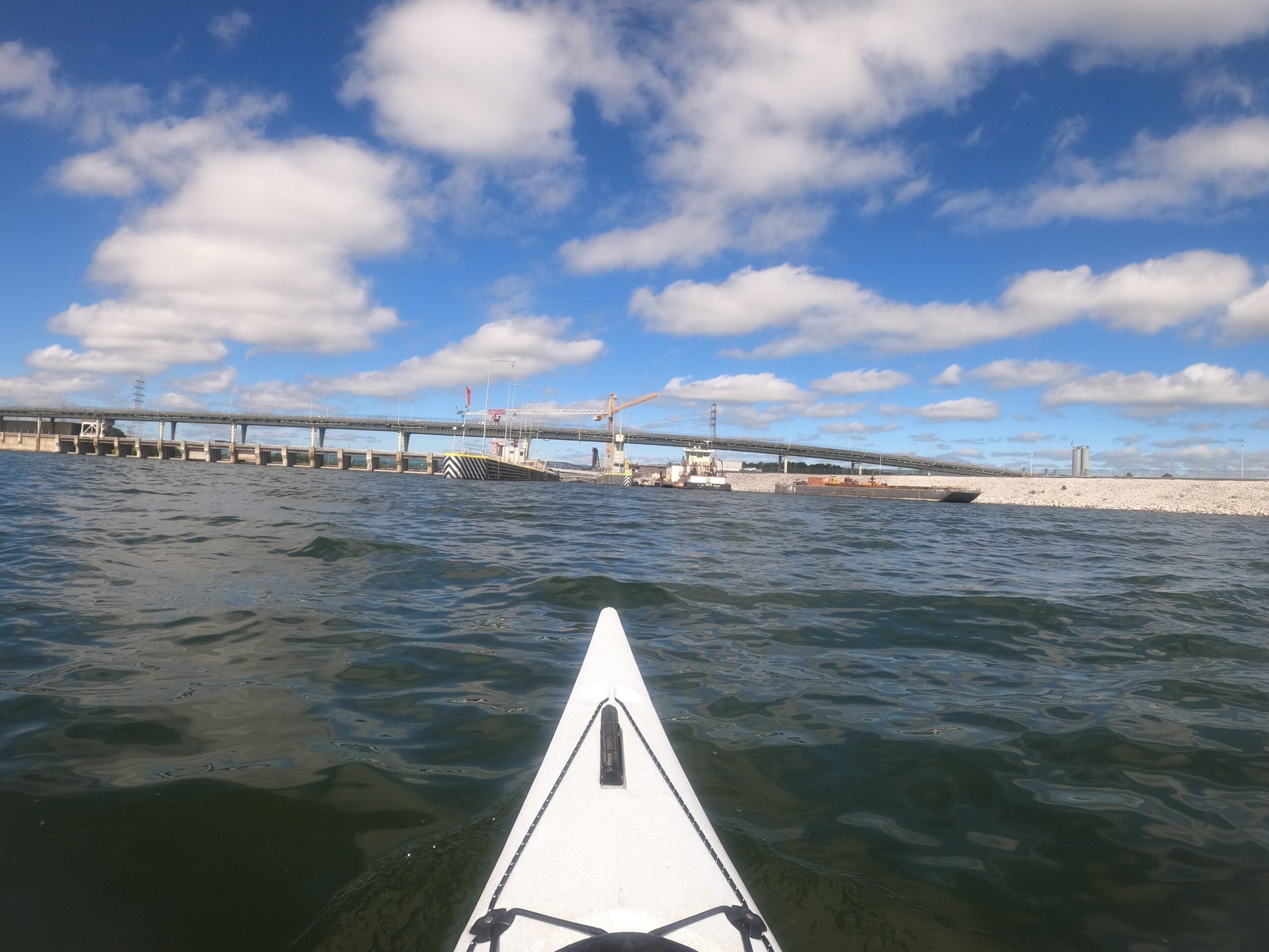
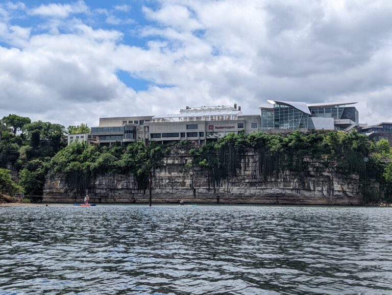
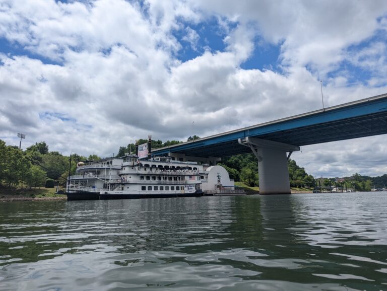
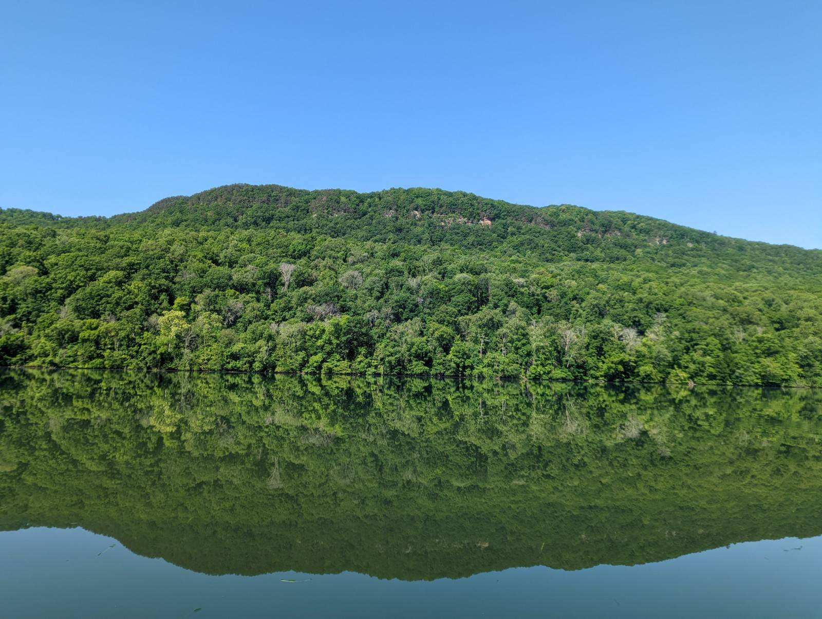
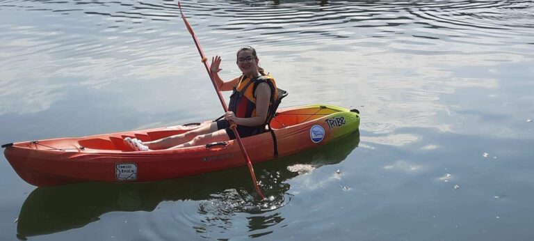
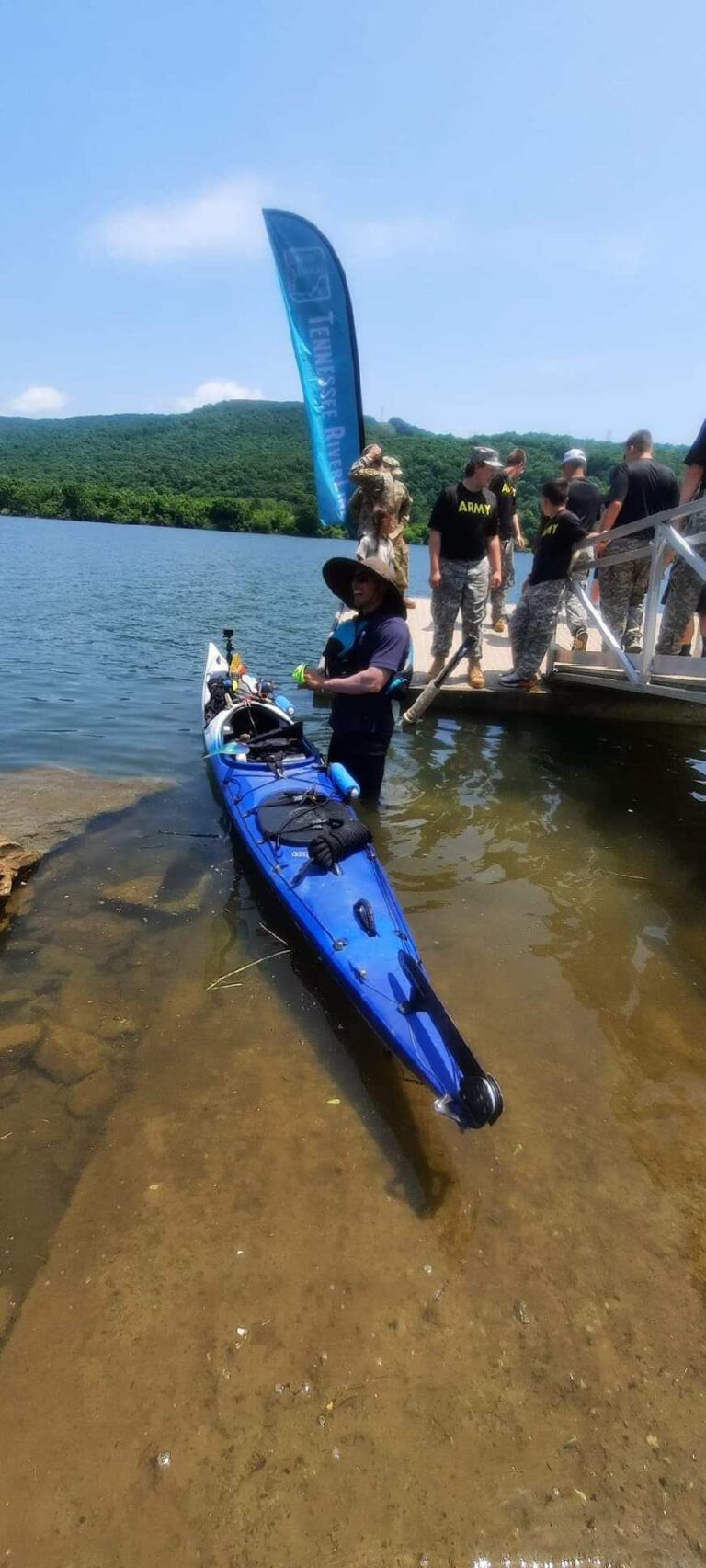
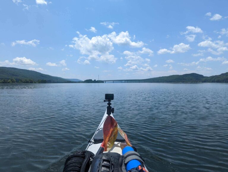
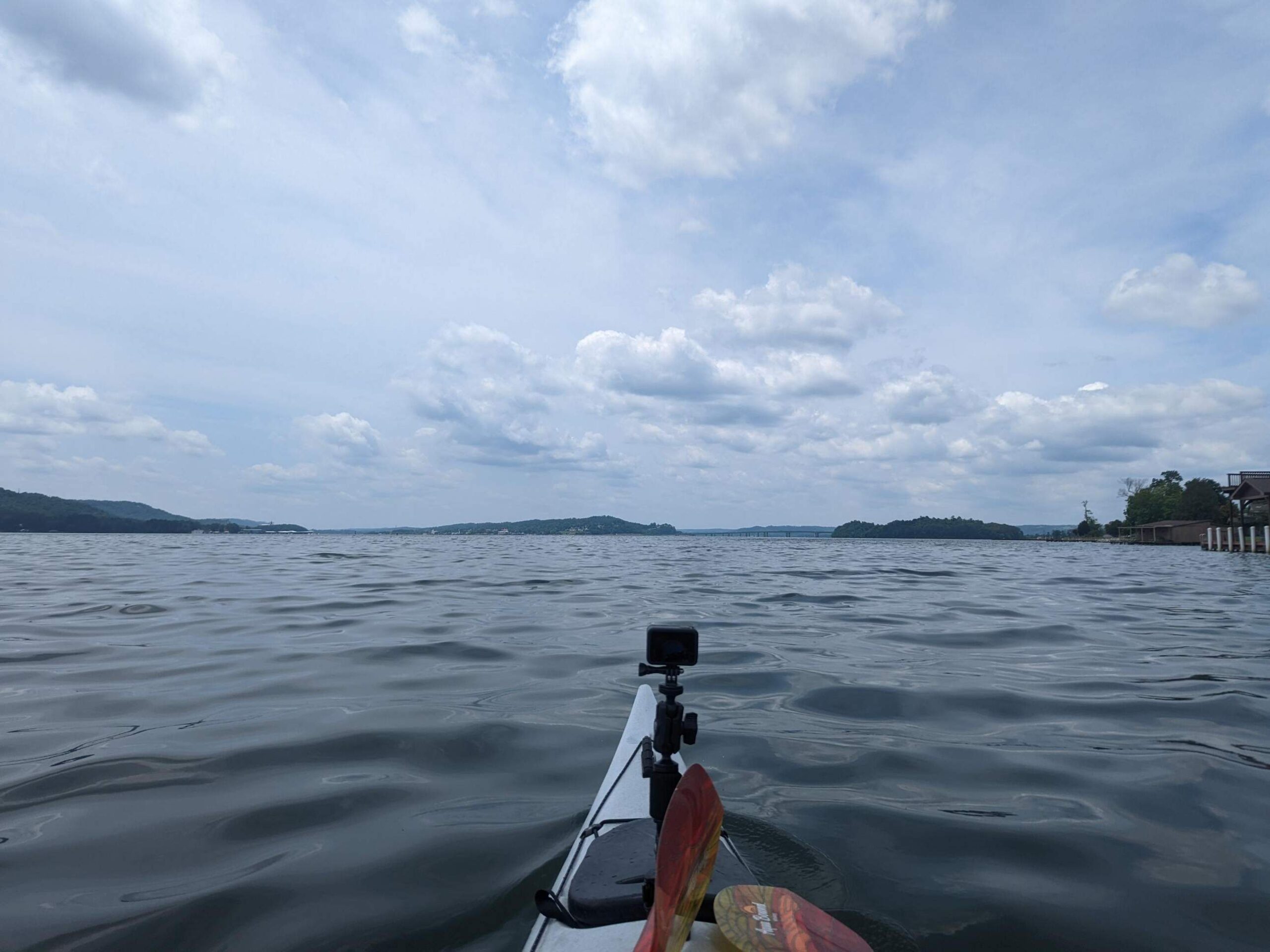
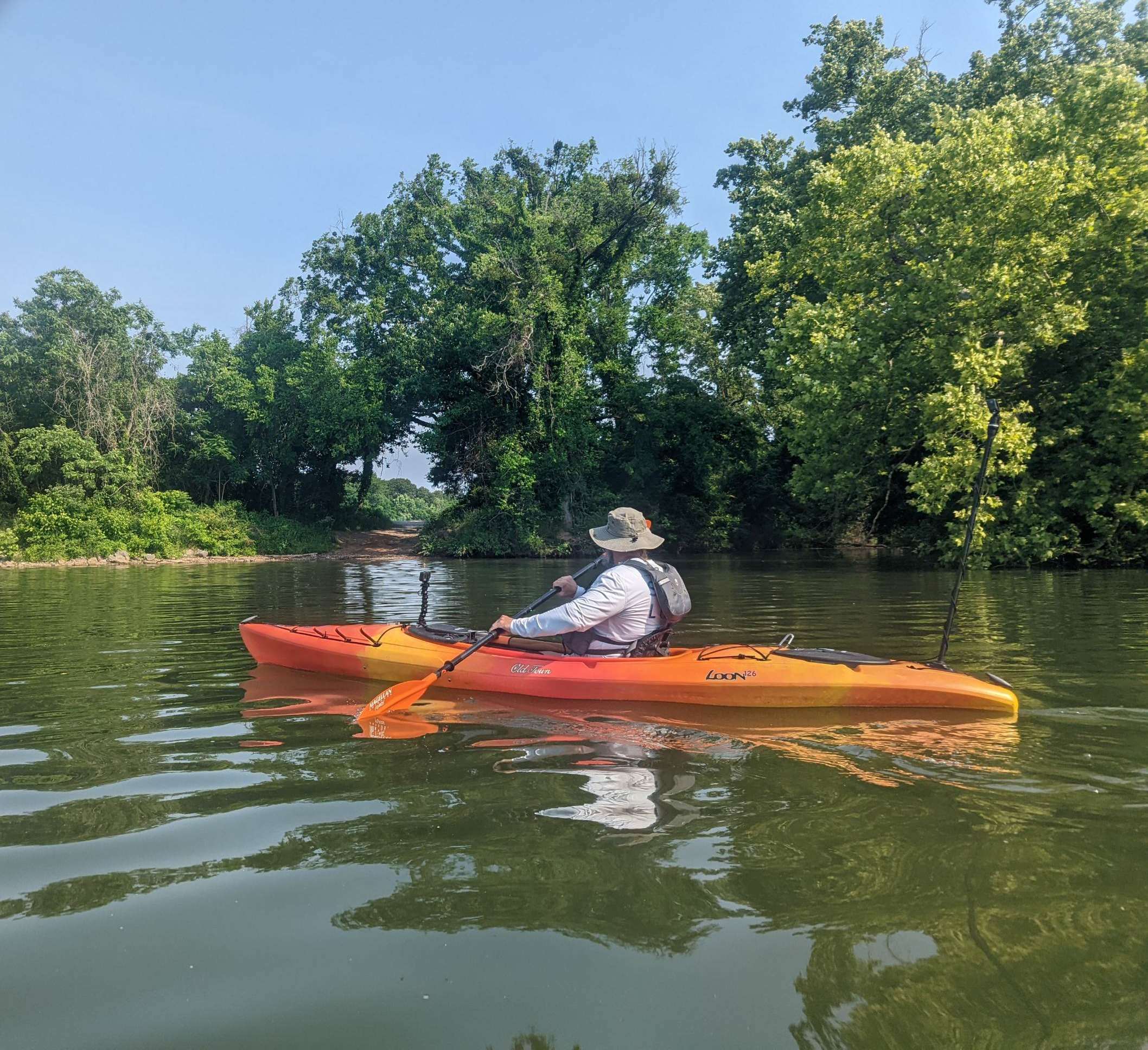
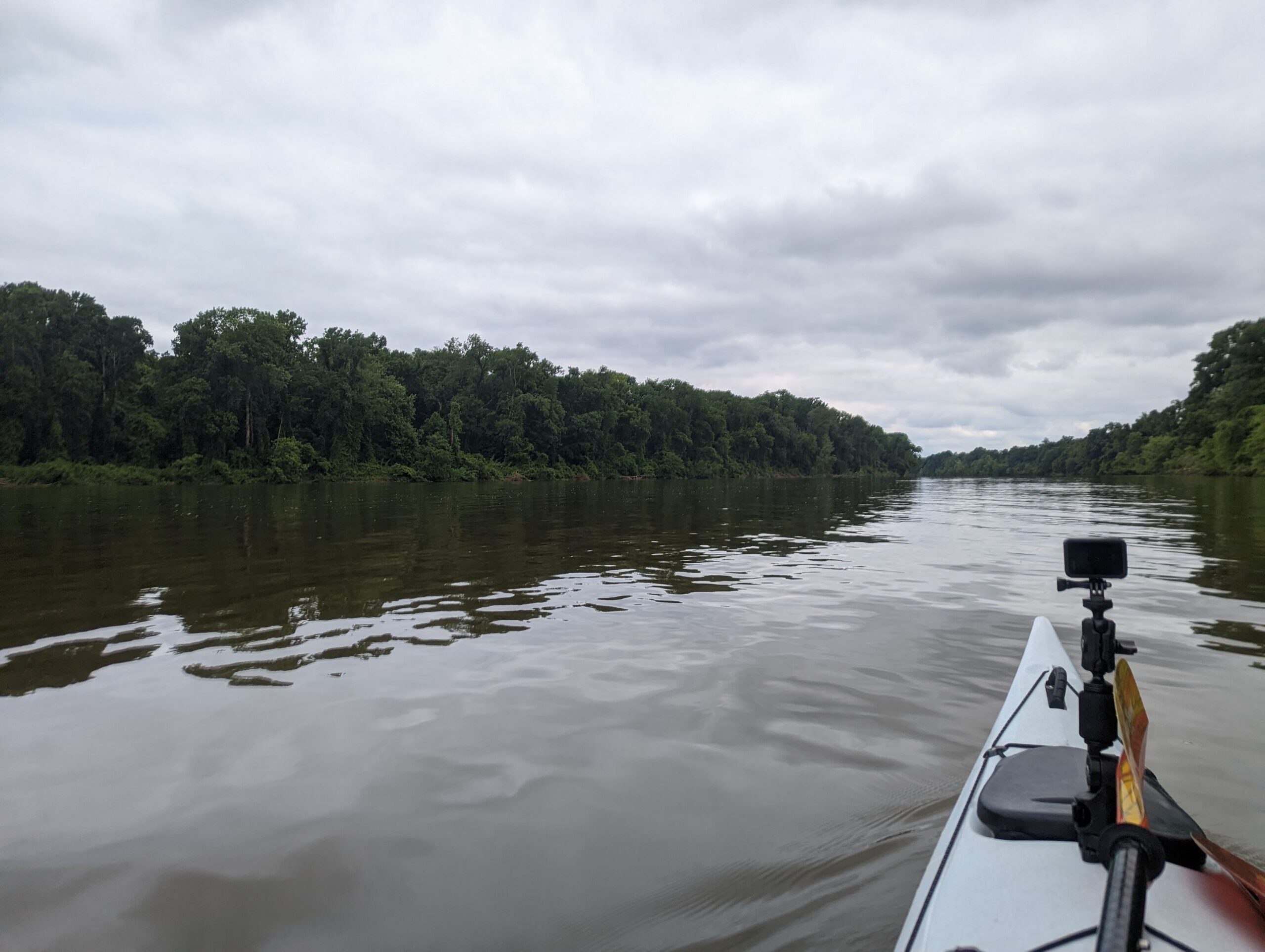
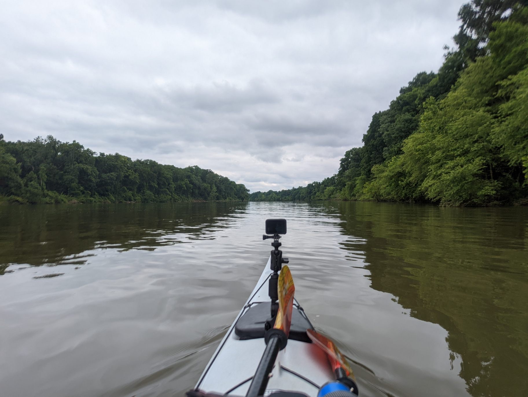
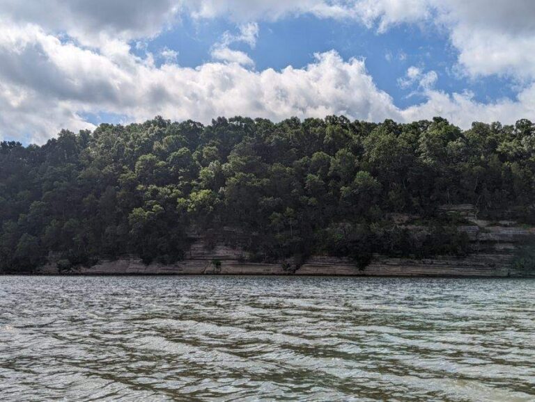
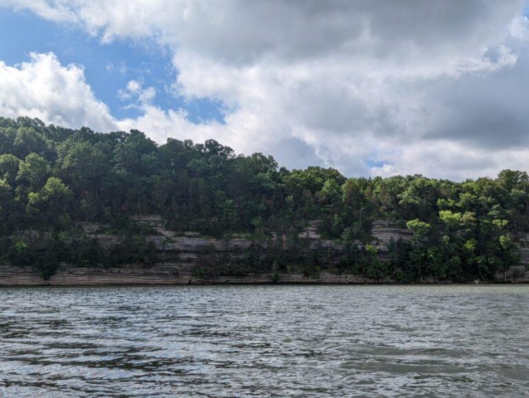
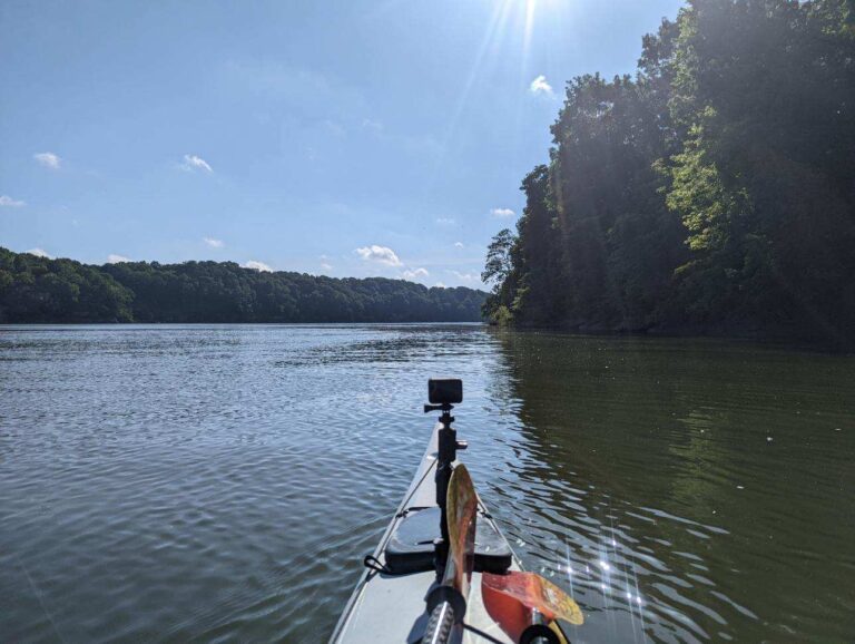
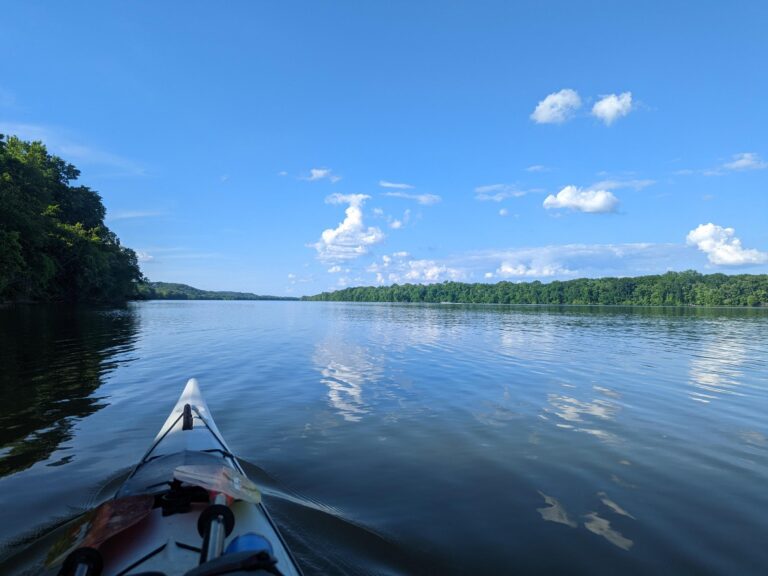
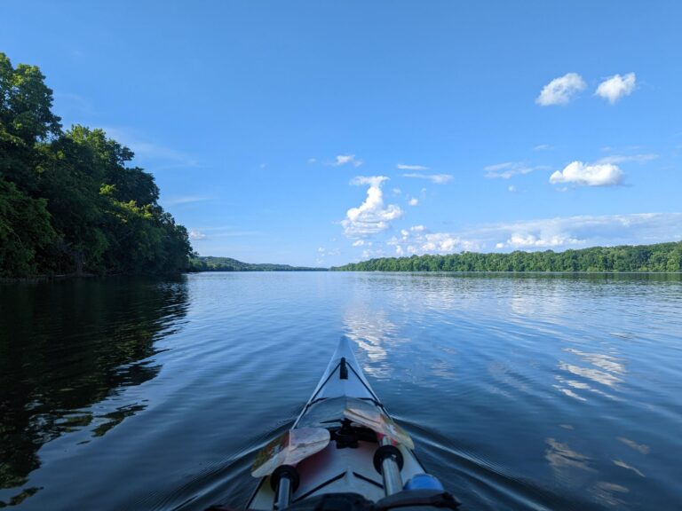
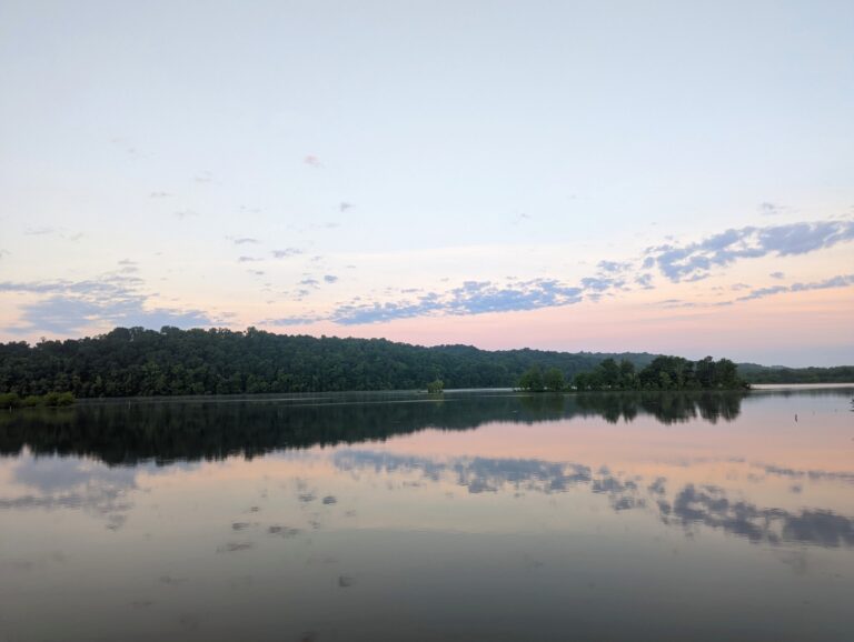
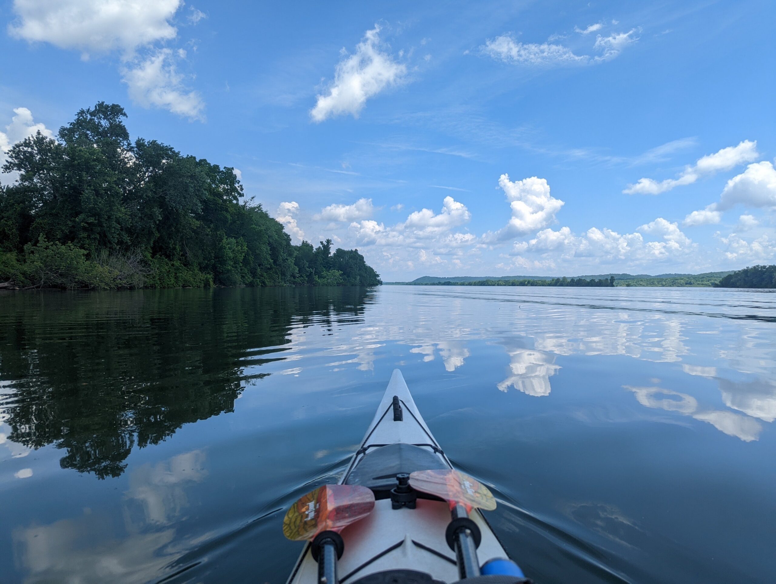
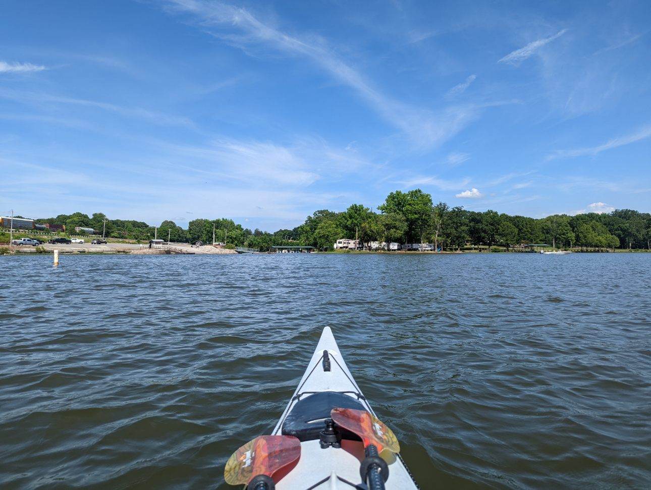
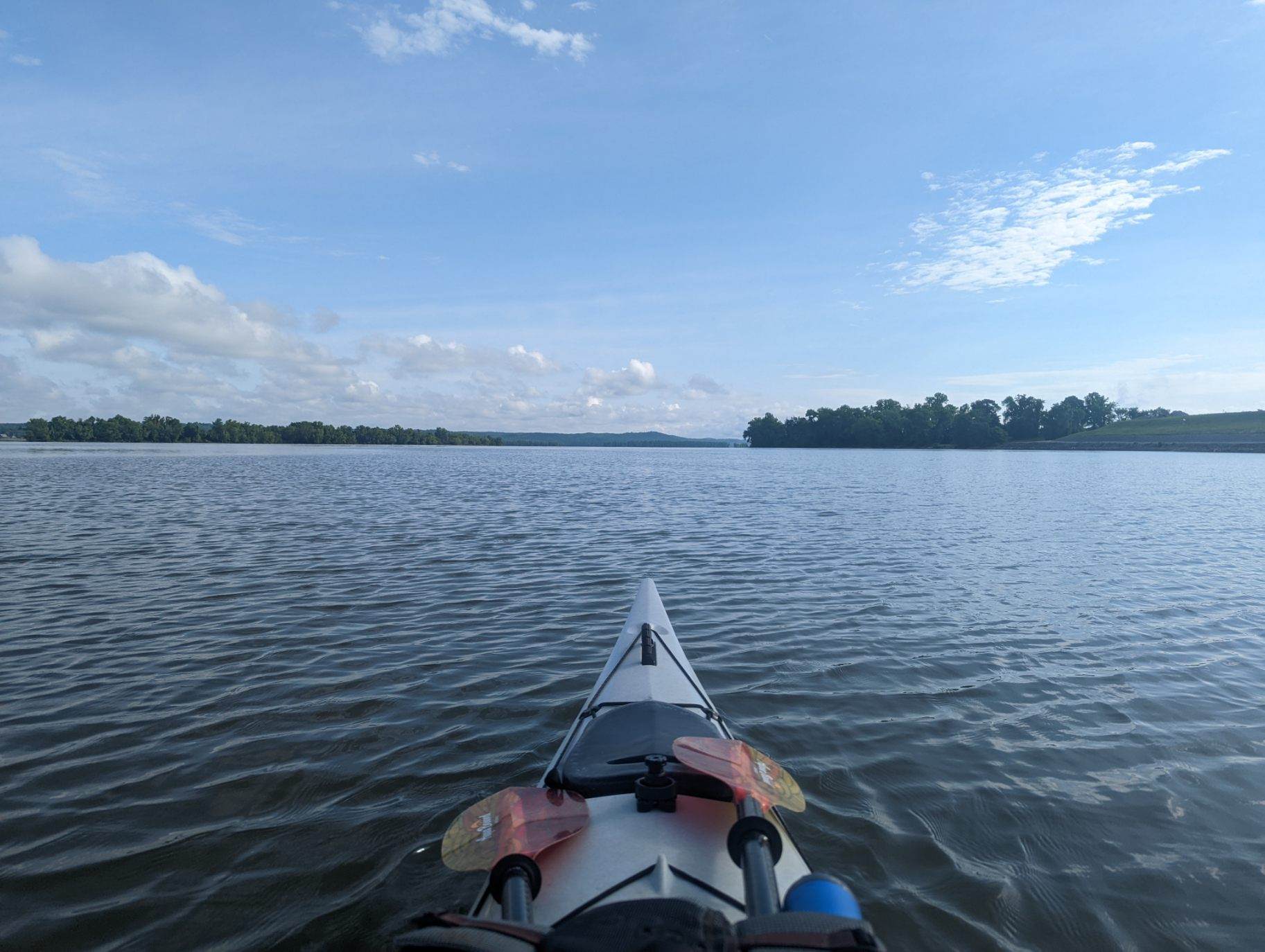
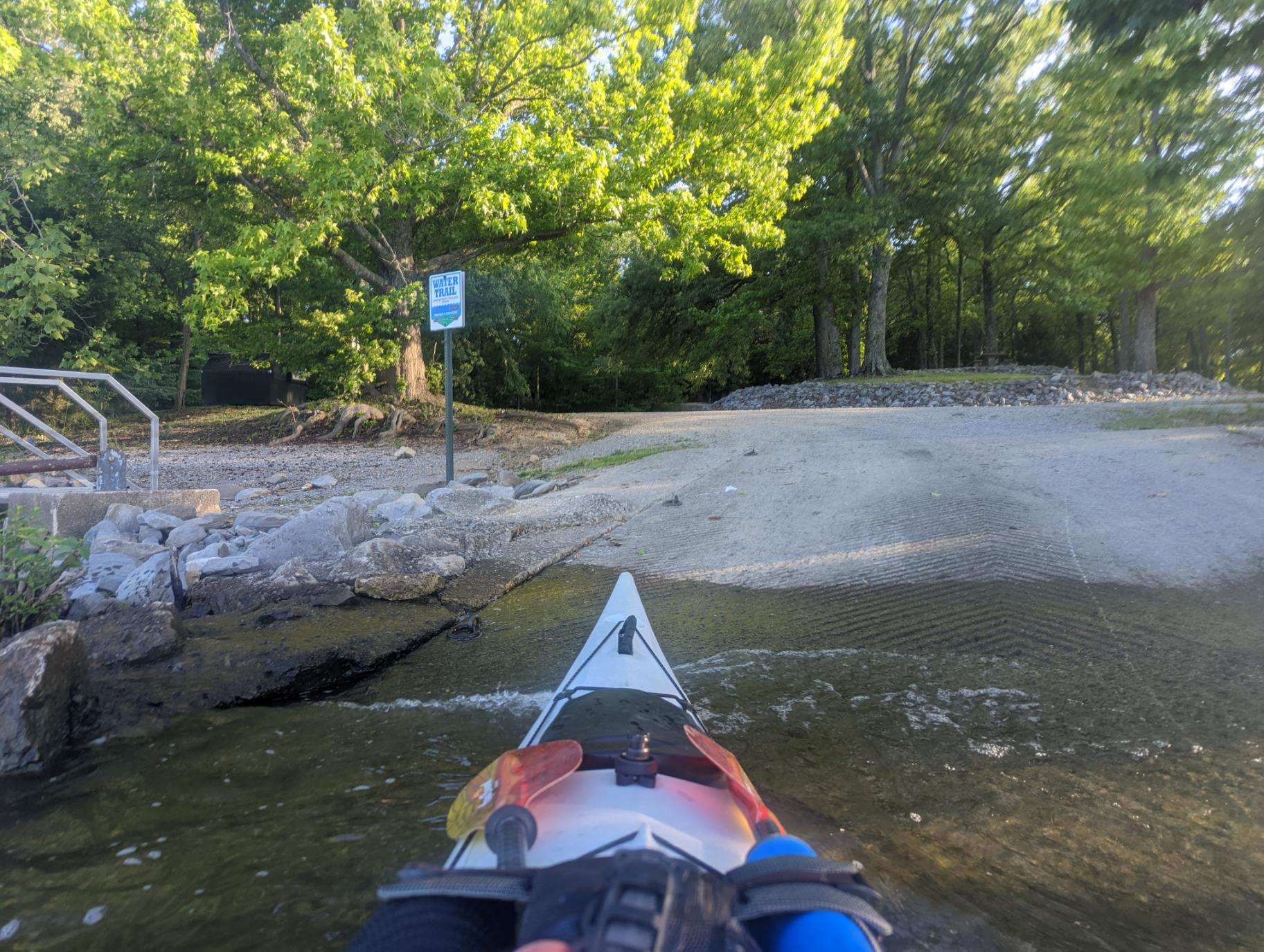
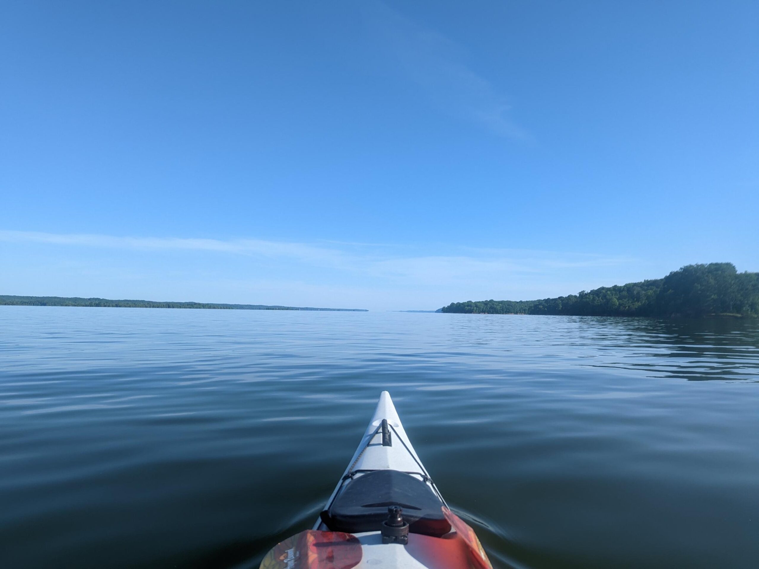
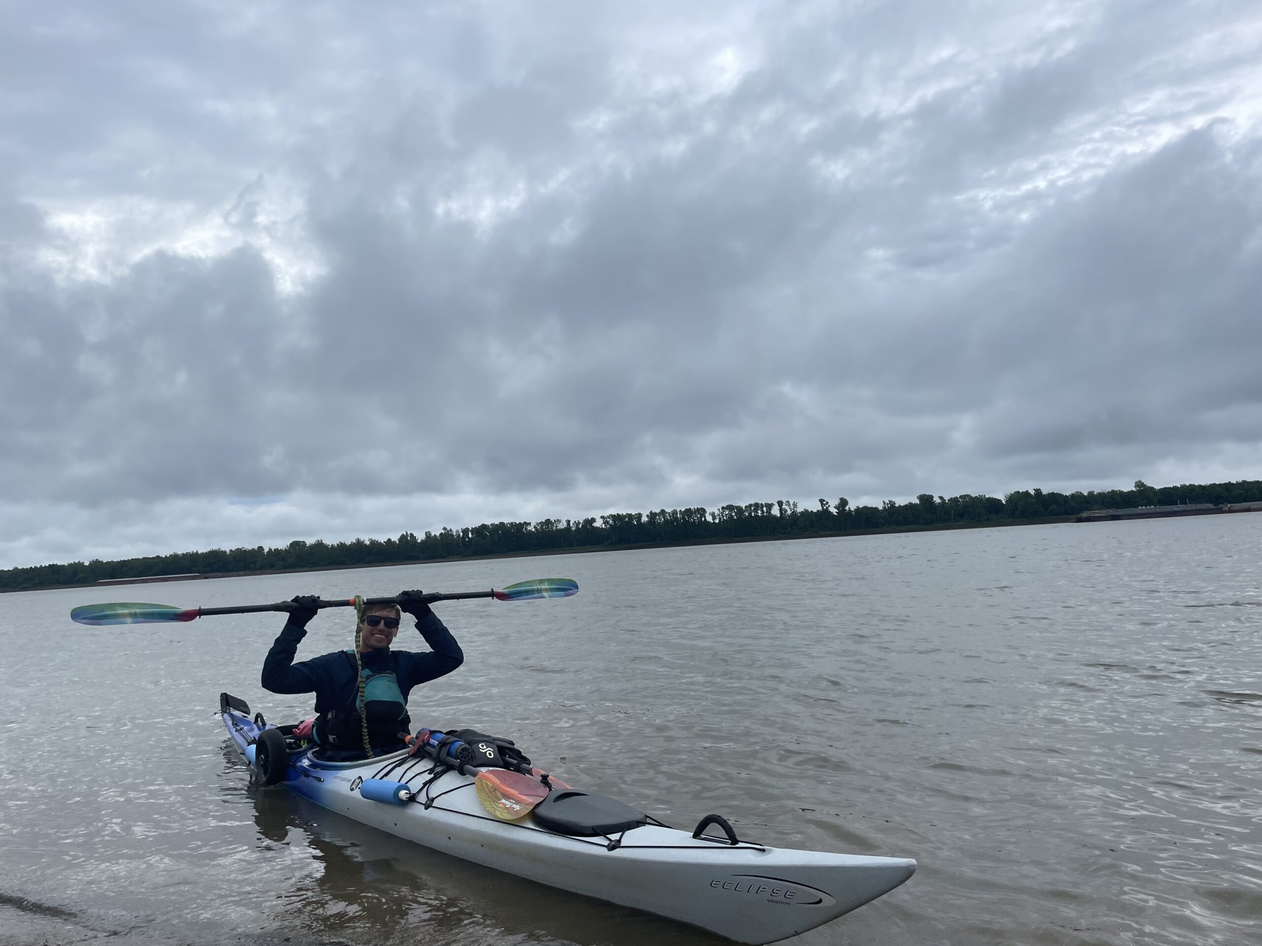
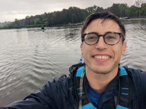 FLORENCE – On Saturday, April 30, Muscle Shoals National Heritage Area programs coordinator Terrence Johnson will begin a kayaker’s dream trip: paddling the length of the Tennessee River & completing a 652-mile journey. Little did Johnson know when he paddled the river’s first four miles last May during the Tennessee RiverLine’s launch celebration that he’d paddle the remaining 648 miles this year.
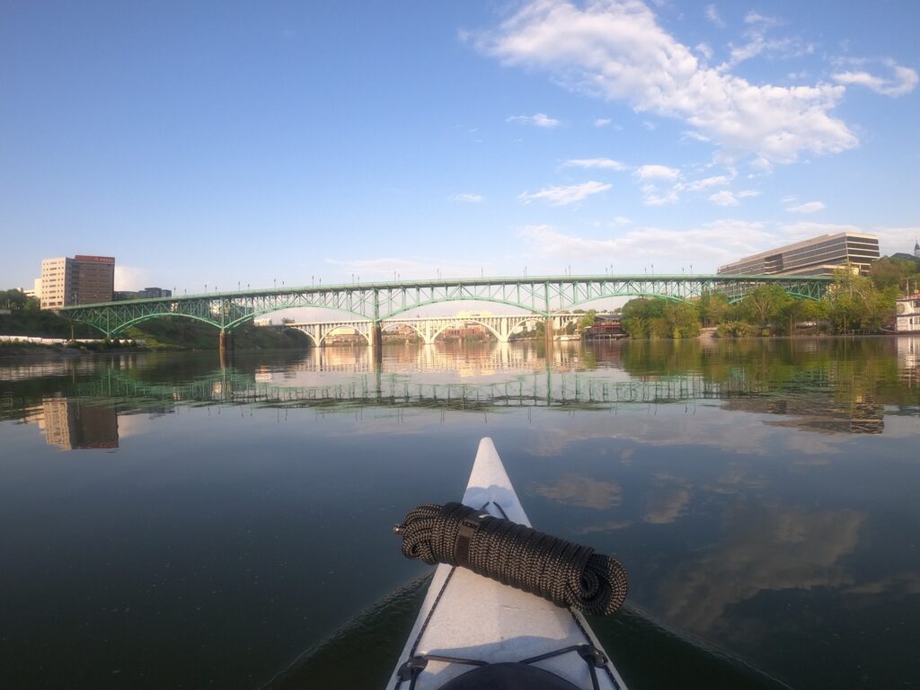
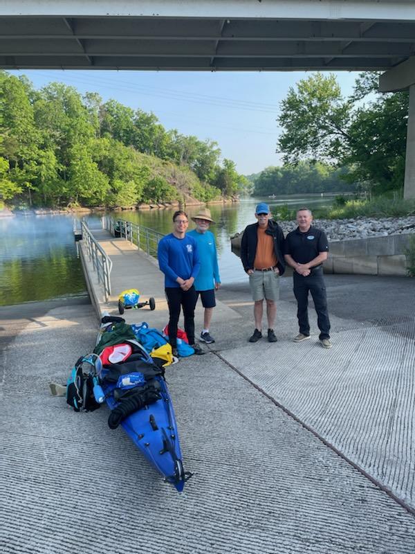
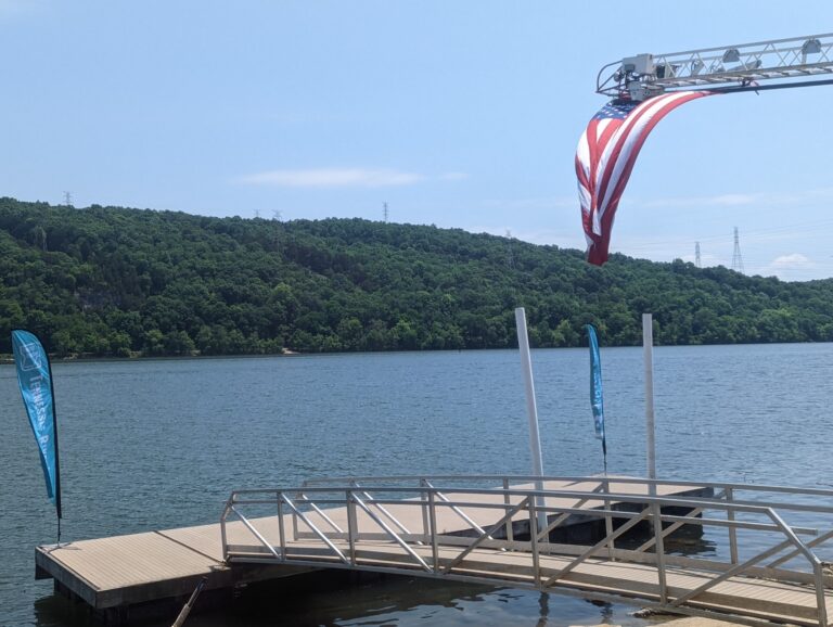
Johnson will leave from Suttree Landing Park Pavilion and Kayak Launch in Knoxville at 6:30 a.m.
“As an outdoor and kayaking enthusiast, I’ll consider this the trip of a lifetime or perhaps the start of many more adventures!” Johnson said. “I hope my trip can help highlight some of what the river has to offer as a recreational and environmental resource for all. I also want to focus on the work people are doing along the river to make that happen.”
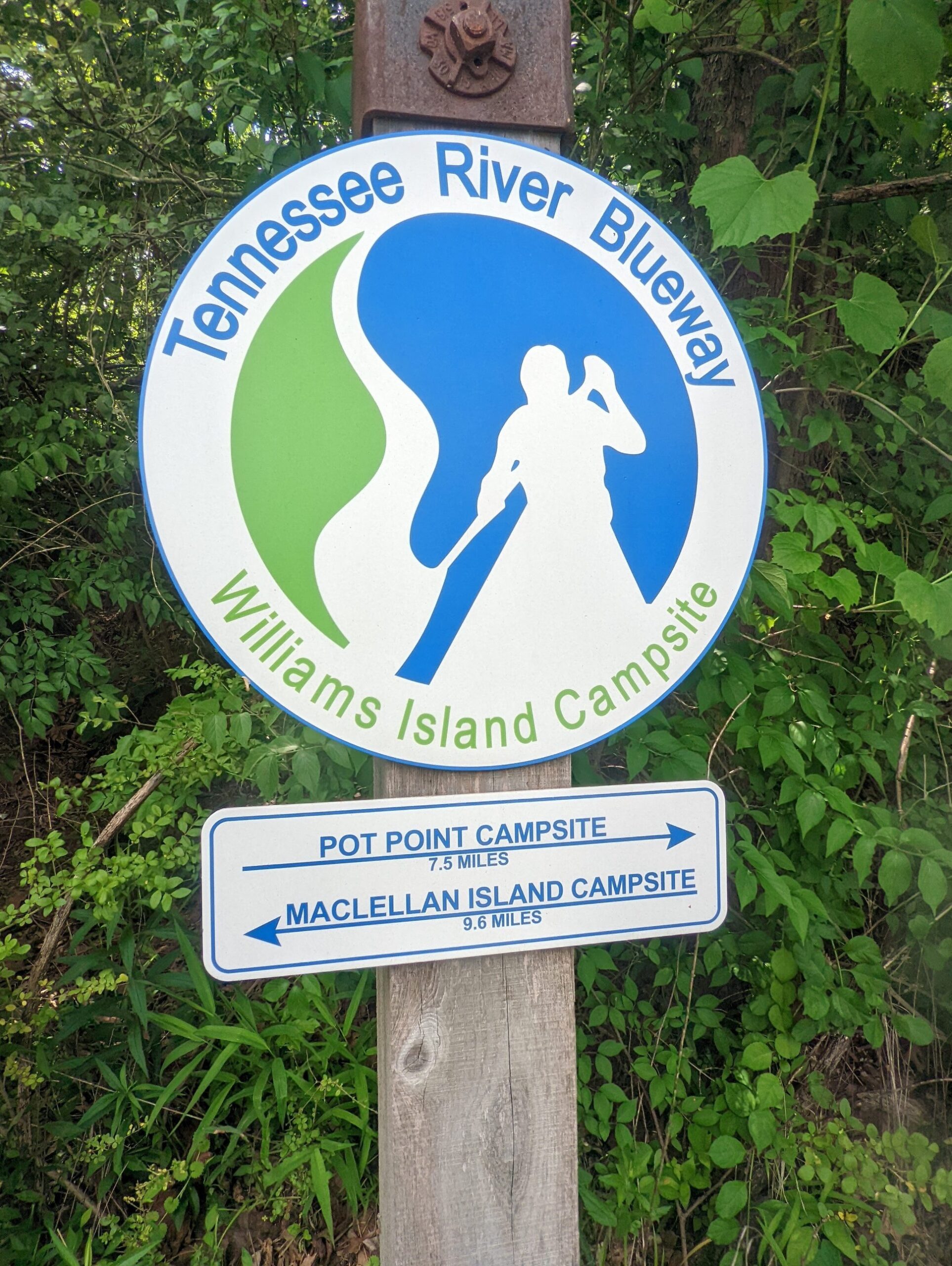
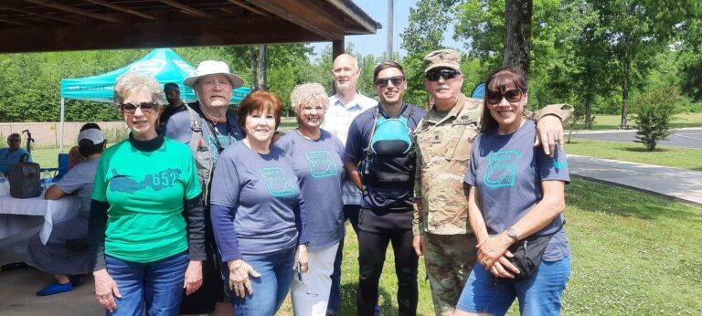
Johnson and the MSNHA are working with the Tennessee RiverLine, an initiative led by the University of Tennessee, Knoxville, and Tennessee Valley Authority, as well as community partners across the region to develop a continuous system of paddling, hiking, and biking experiences along the Tennessee River from its origin in Knoxville, Tennessee, to its confluence with the Ohio River in Paducah, Kentucky. The initiative seeks to catalyze economic development, promote public health, improve equitable access to river spaces and experiences, and inspire resource stewardship.
The Shoals was one of the Tennessee RiverLine’s 2019 pilot communities, and a member of the Tennessee RiverTowns Program’s inaugural cohort in 2021.
“As a proponent of the Tennessee RiverLine, I’m excited to start this 37-day journey, during which I will be privileged to experience the riverscape’s natural beauty. And, perhaps even more importantly, I’m excited to meet people of Tennessee River communities who share the same passion for the river as me and interact with other Tennessee RiverTowns and paddlers along the way.”
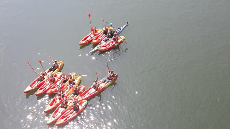
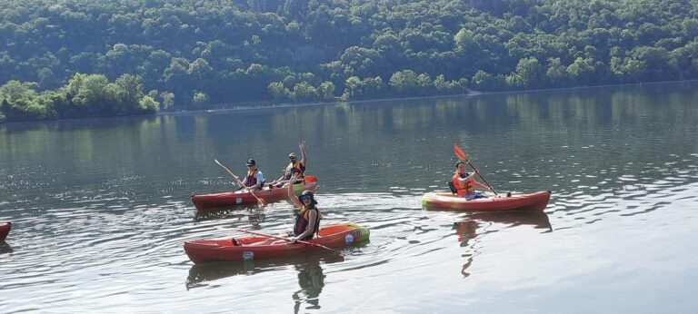
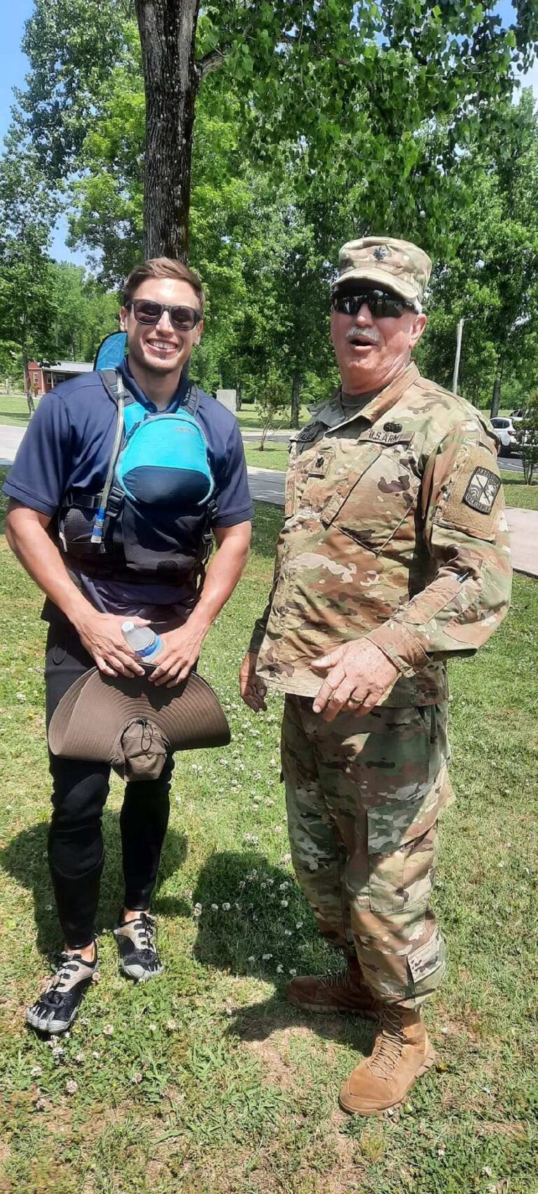
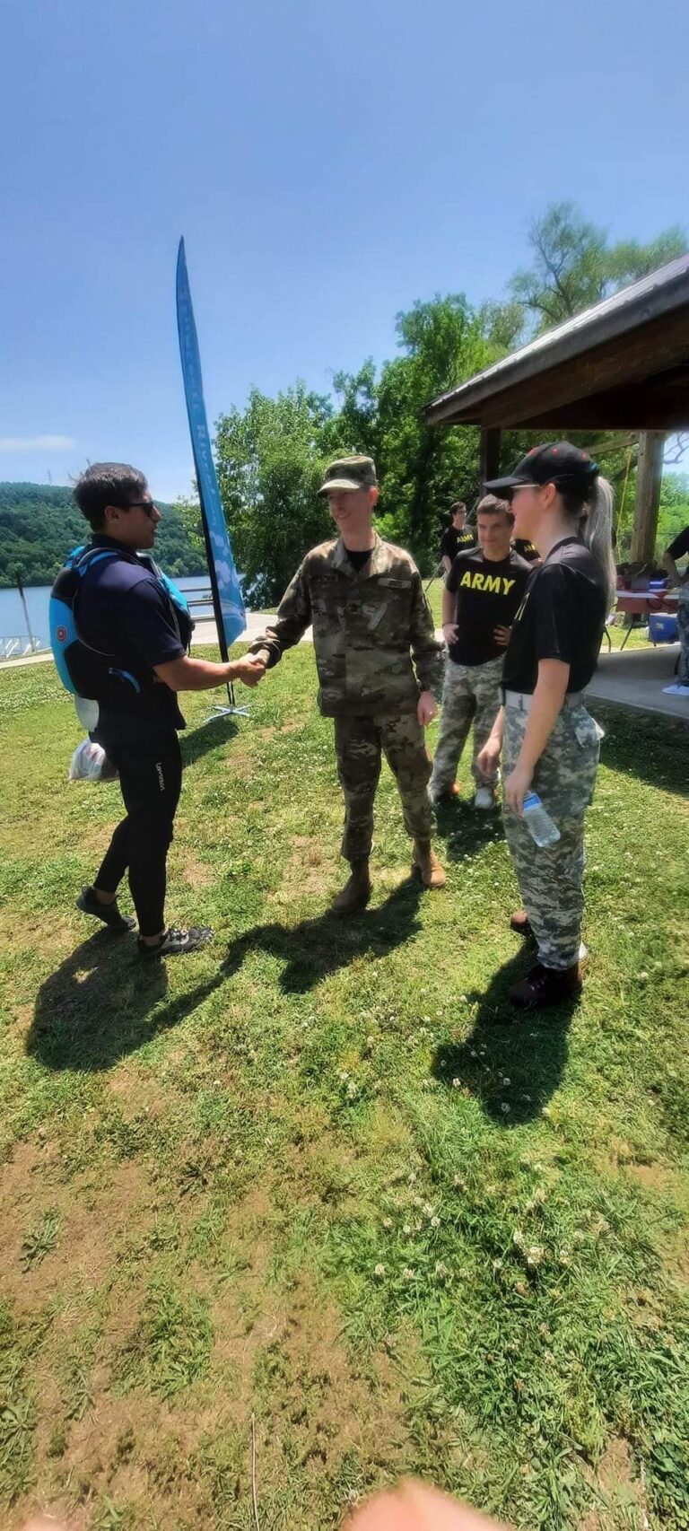
Part of Johnson’s agenda includes highlighting the importance of river access to a diverse community of paddlers, including those traditionally underrepresented on the water. For the first 10 days of the paddle, Johnson will be joined by Fred Vail, an adventure paddler and supporter of organizations promoting adaptive paddling and recreational opportunities in the region, such as Team River Runner and SPARC Chattanooga.
Johnson will post regular updates during his trip on MSNHA’s Facebook page, @muscleshoalsnha, and other social media using the hashtag #TJ652. The Tennessee RiverLine will also be sharing Johnson’s progress on its social media accounts, @tnriverline.
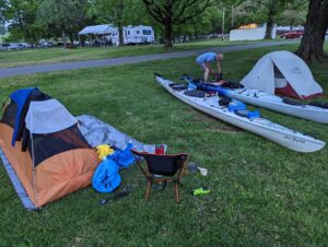
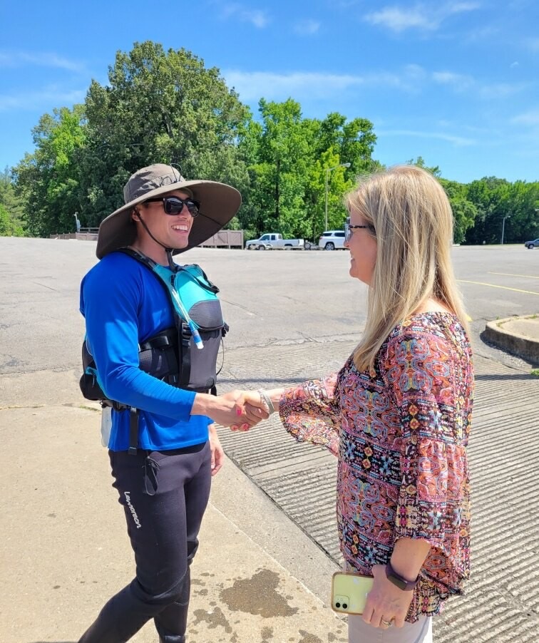
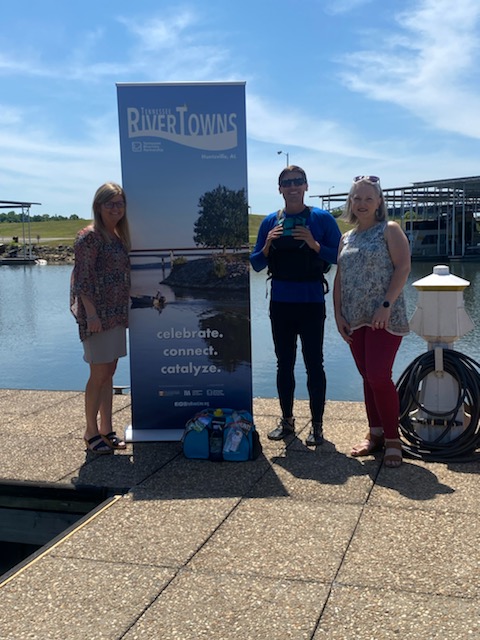
Friday, April 29 — minus one day to launch!
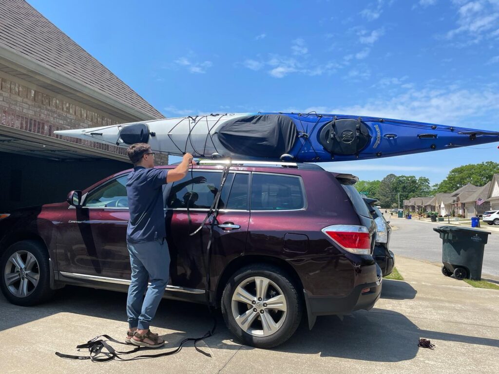
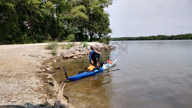
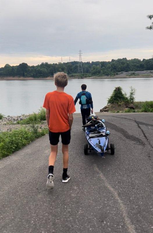
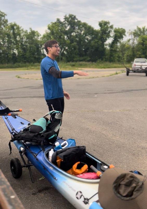
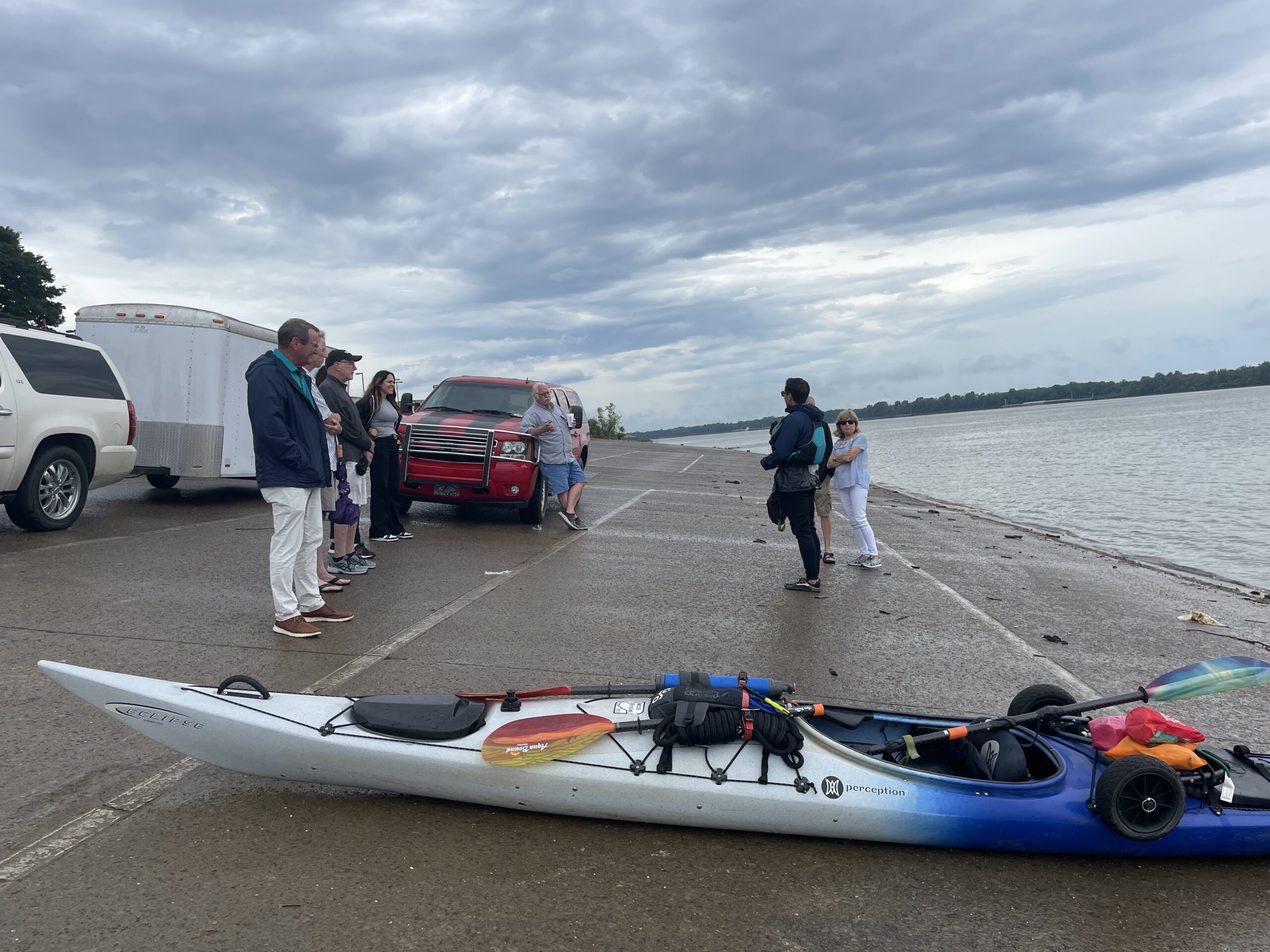
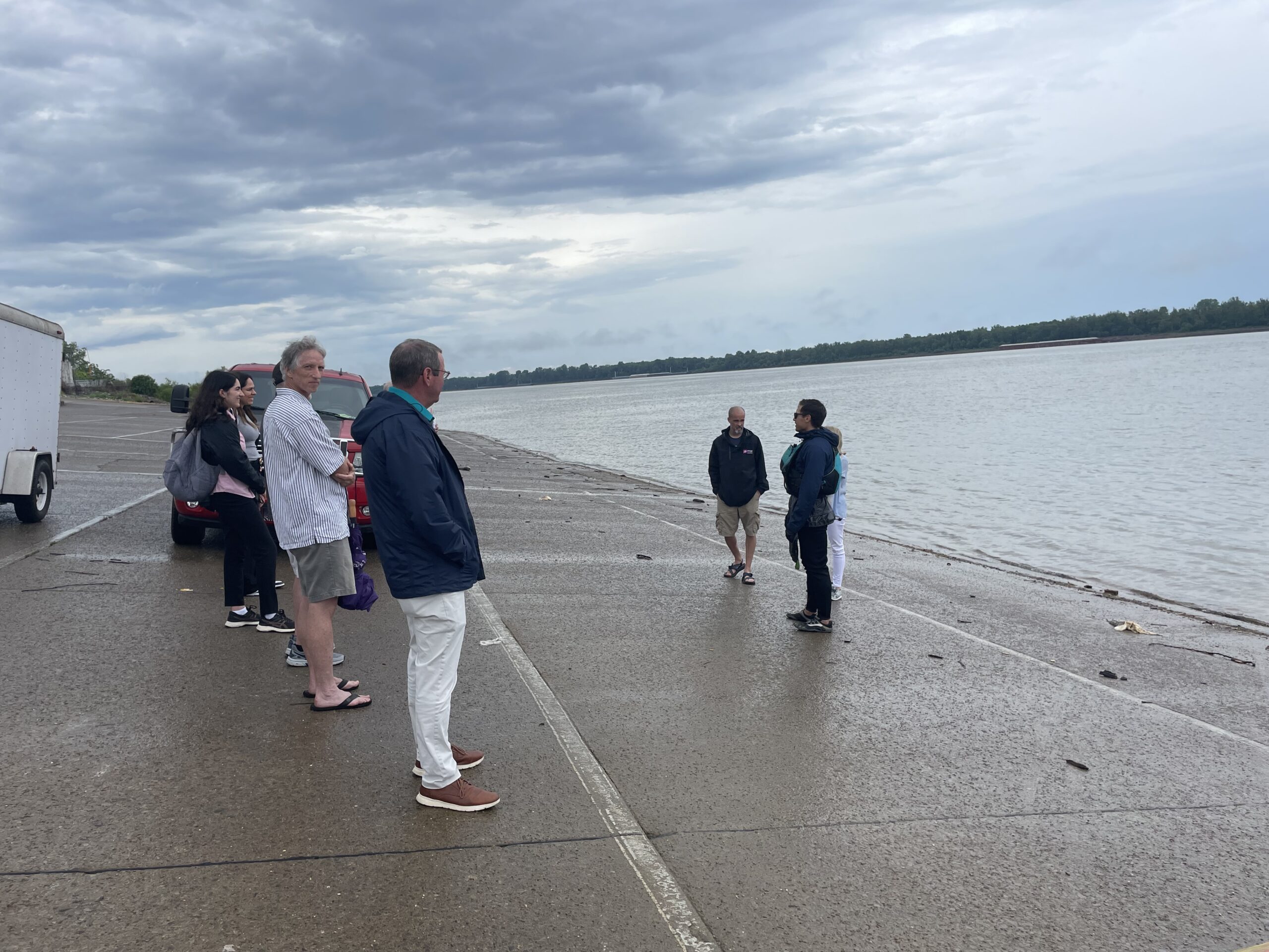
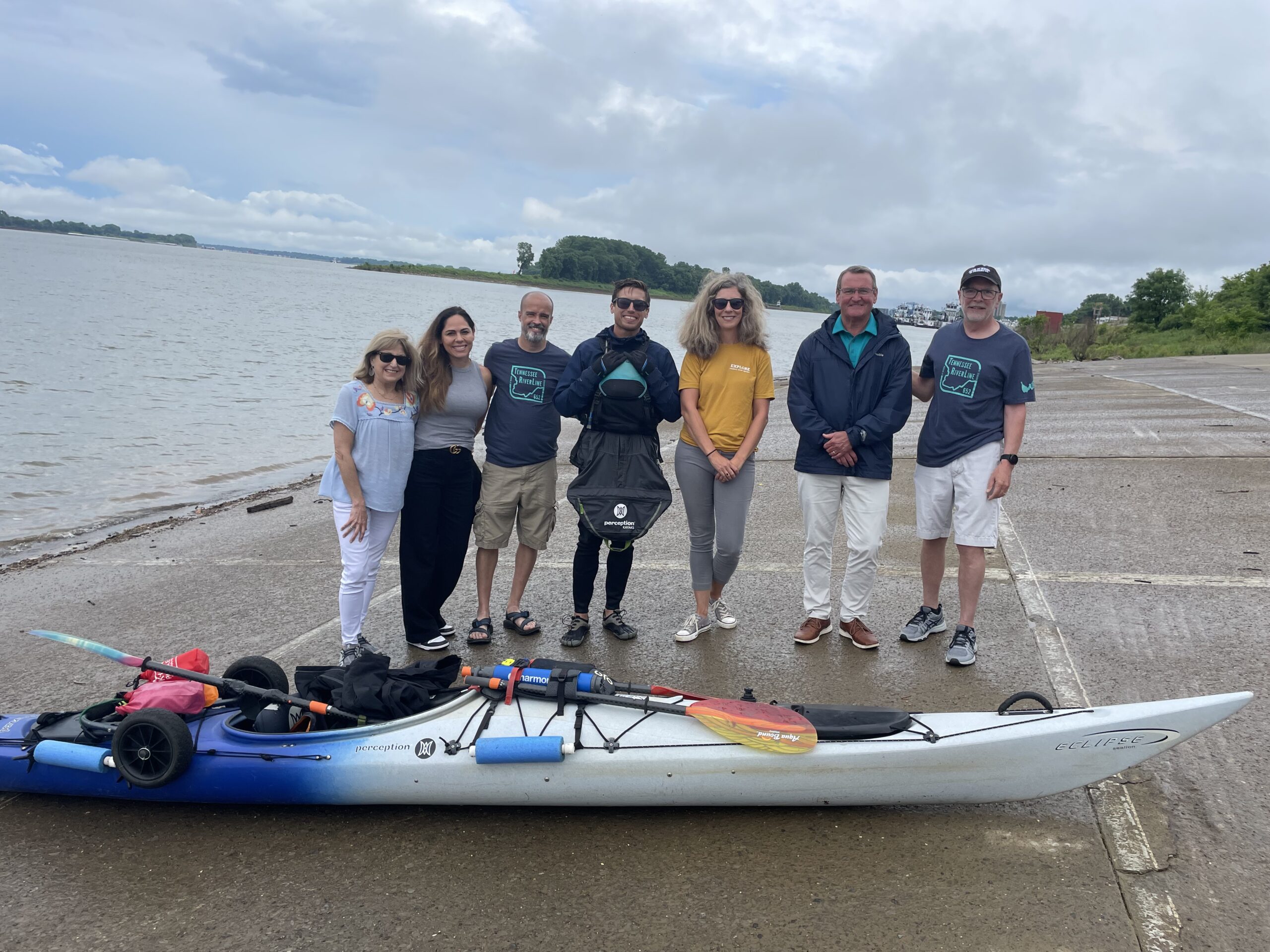
TJ is loading up and heading to Knoxville – his great, big Tennessee RiverLine adventure begins tomorrow!
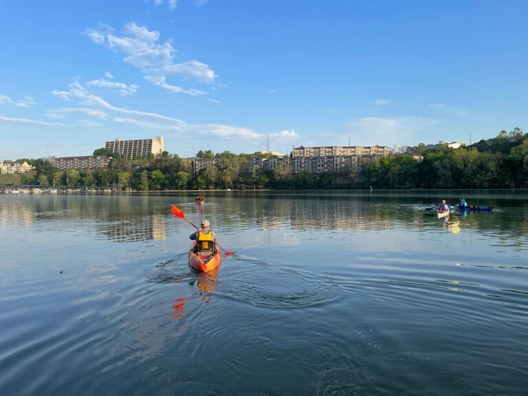
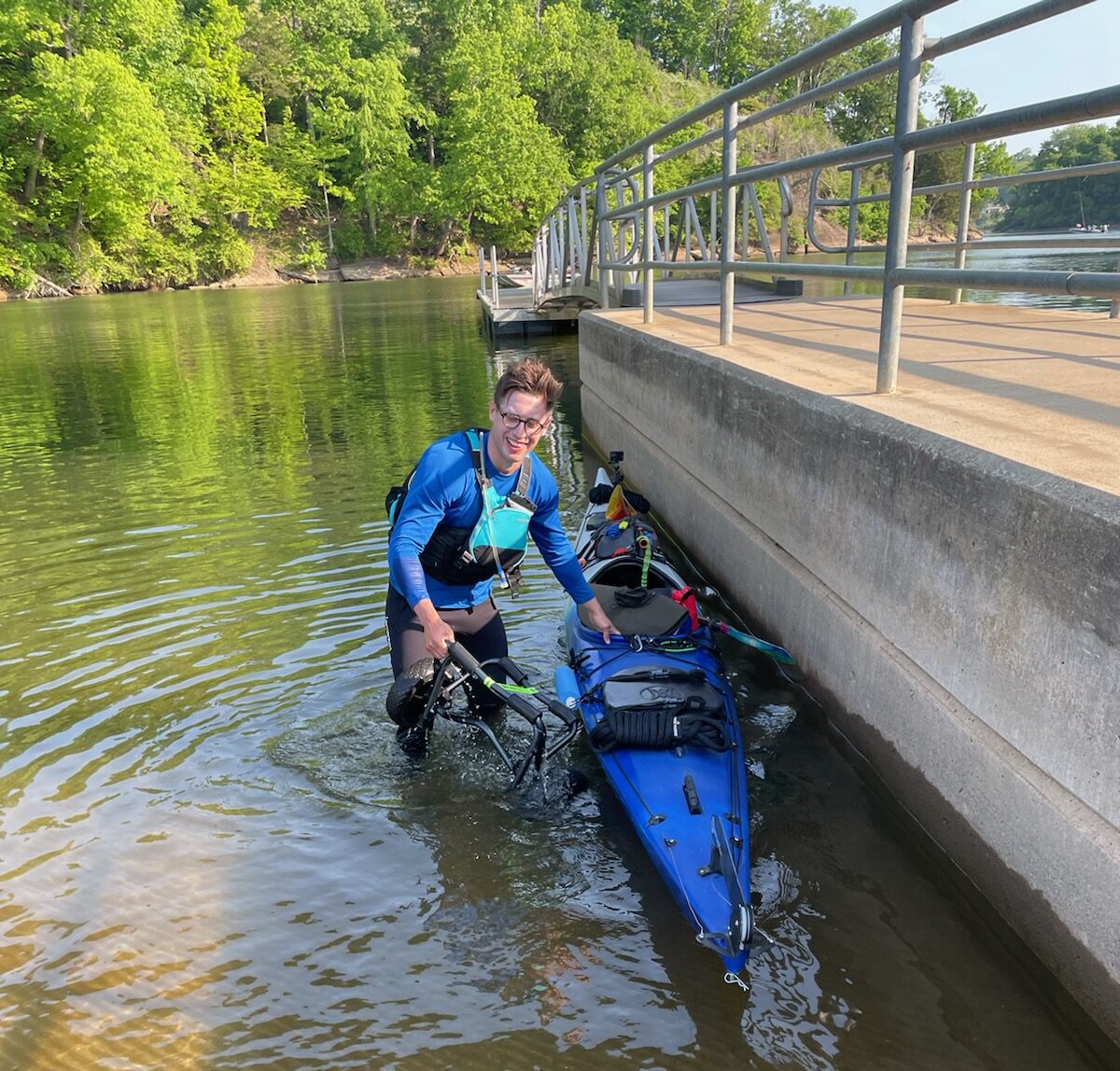
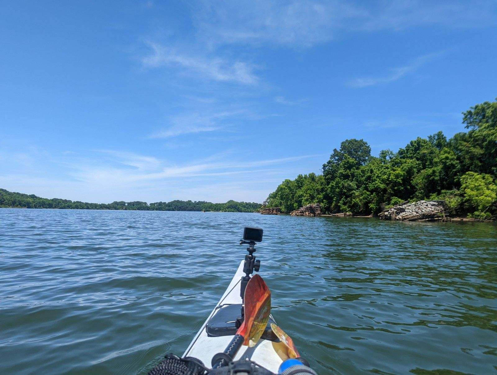
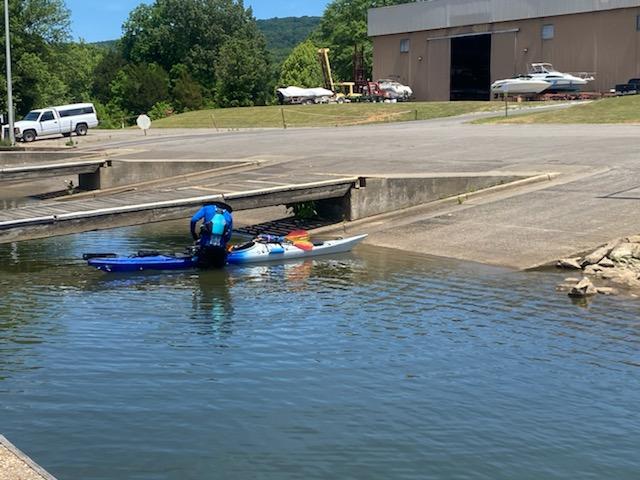
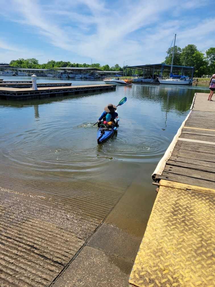
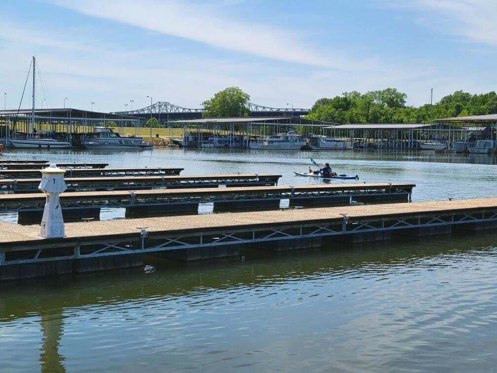
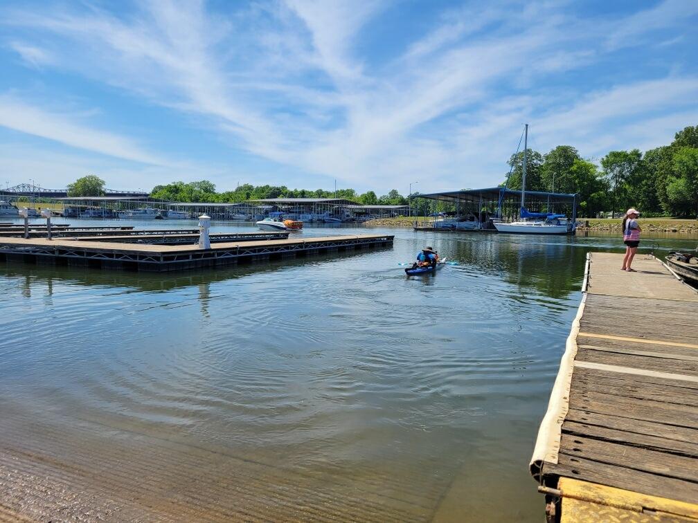
And they’re off!
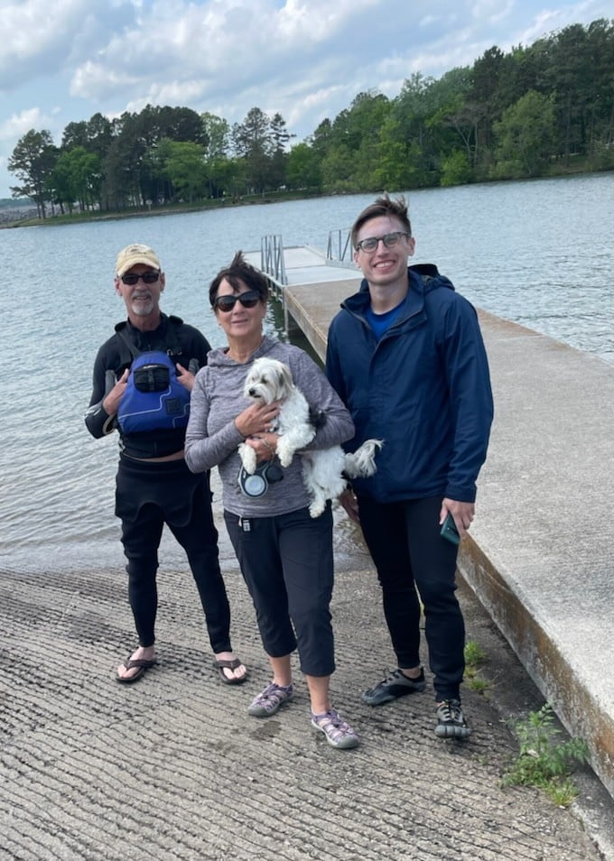
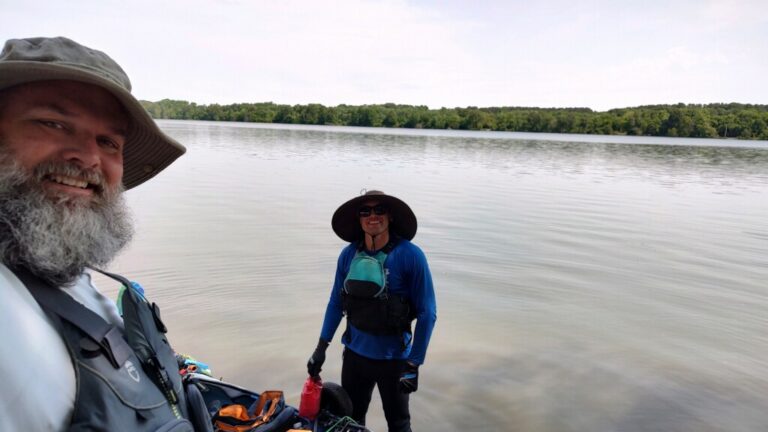
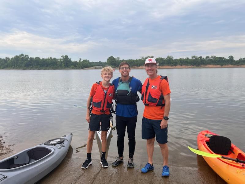
TJ has some Tennessee RiverLine partners for the first few miles of his trip.
Paddler Fred Vail is going to stick with him all the way to Chattanooga.
The weather was perfect this morning for their send-off!
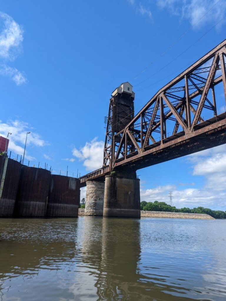
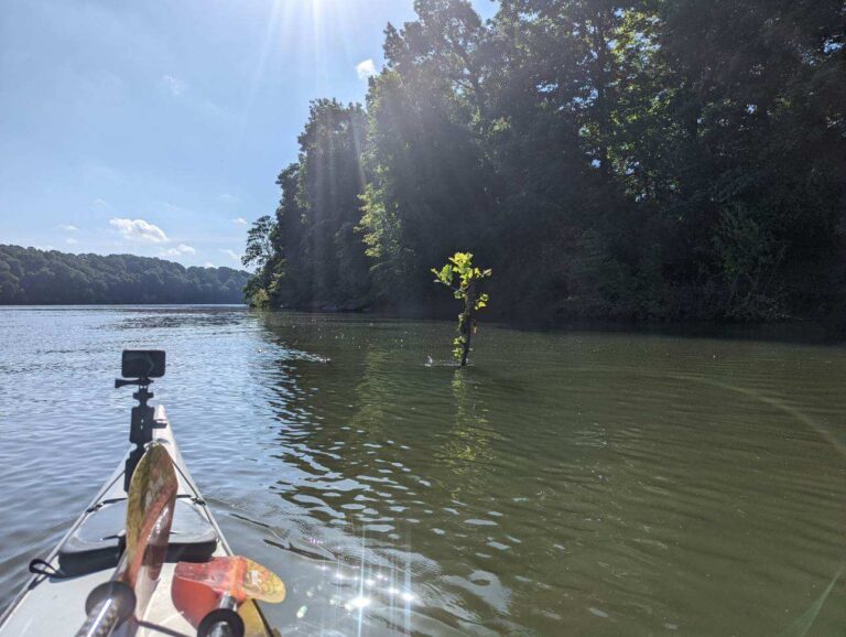
TJ's Travel Journal -- Day 1
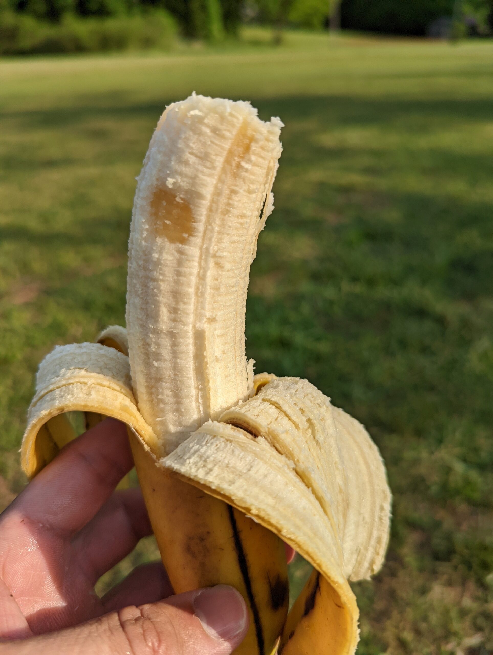
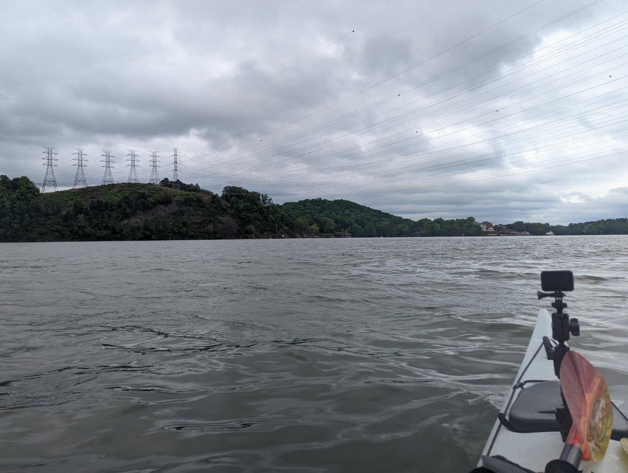
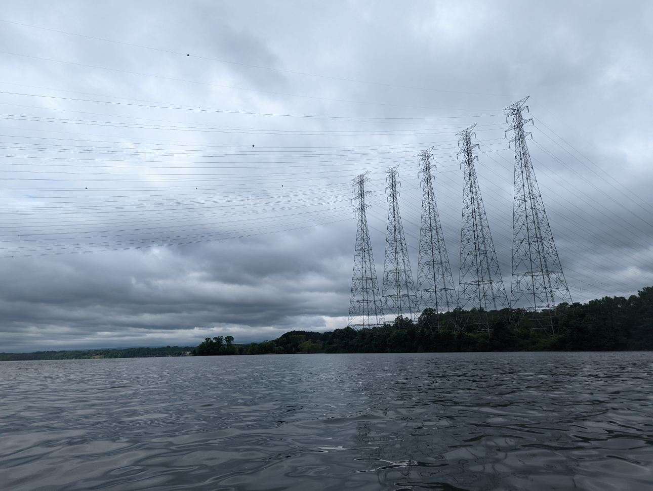
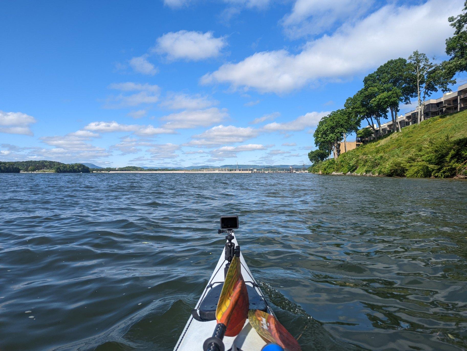
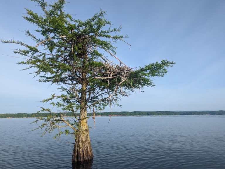
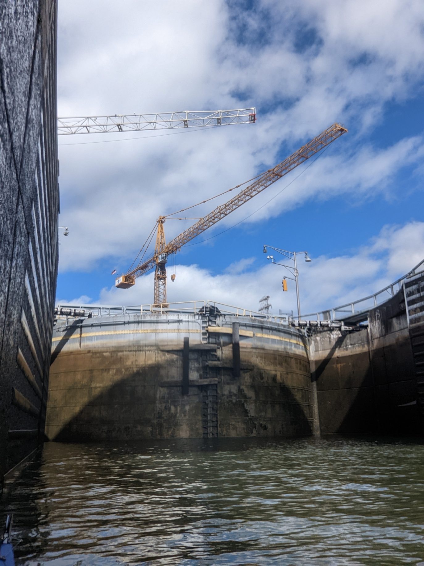
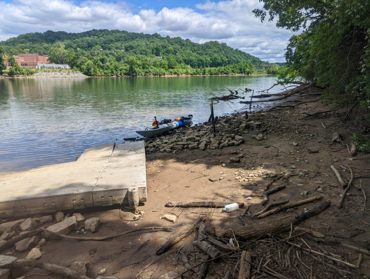
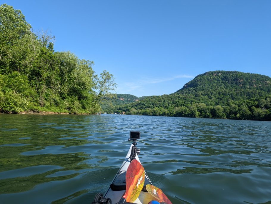
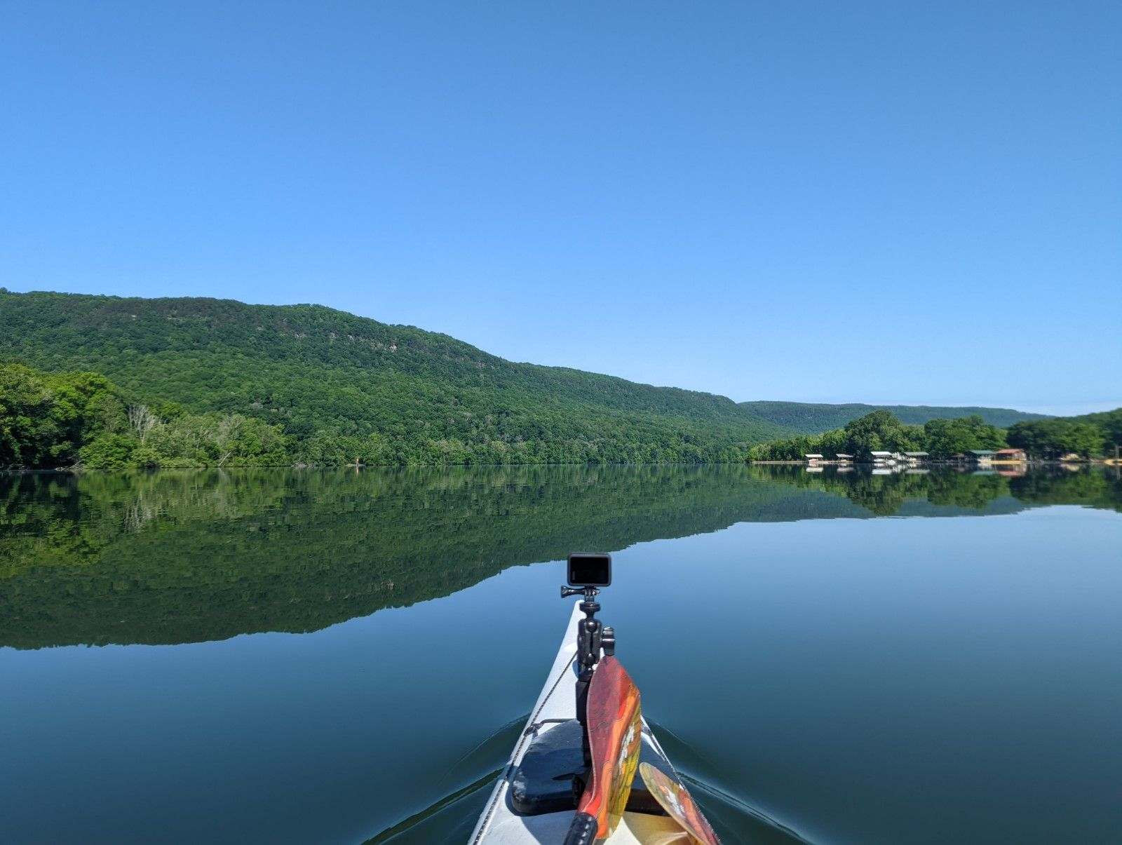
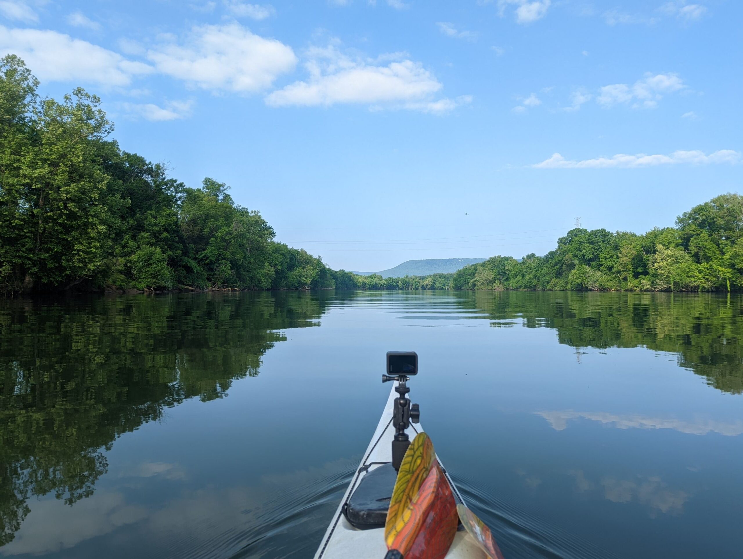
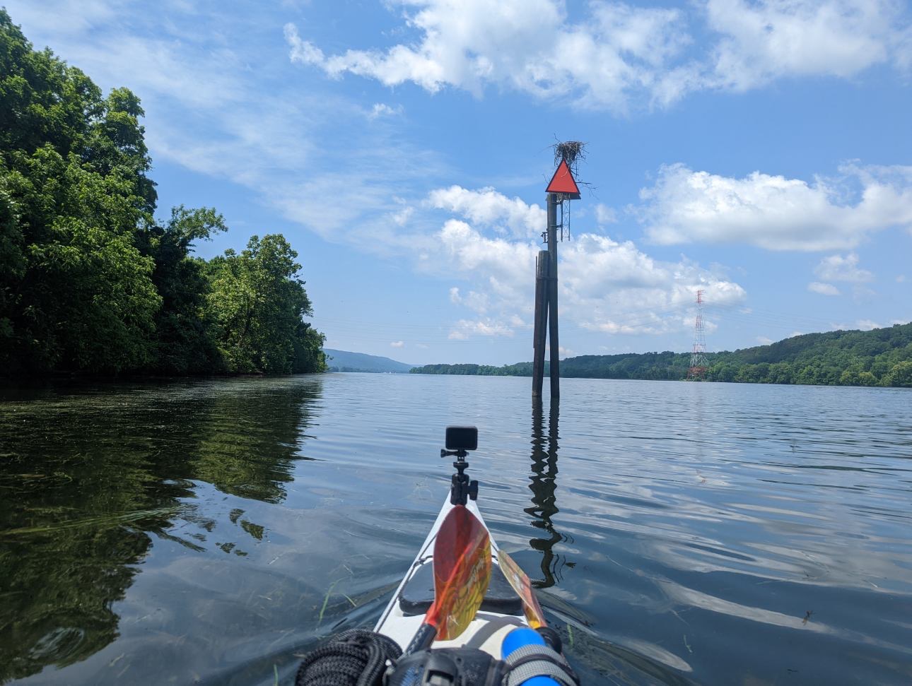
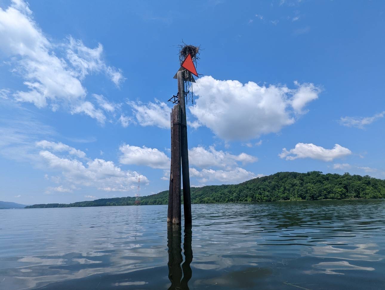
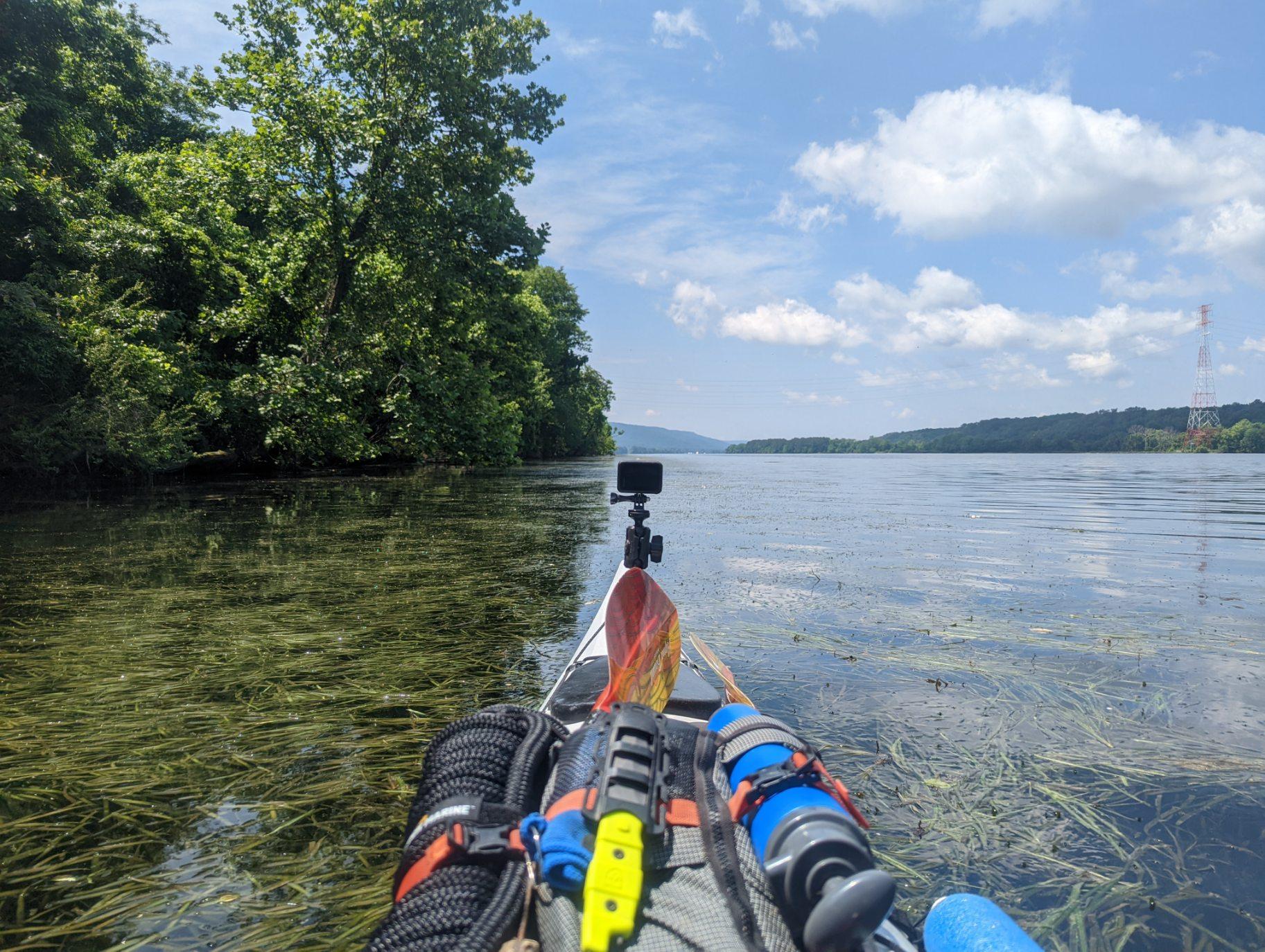
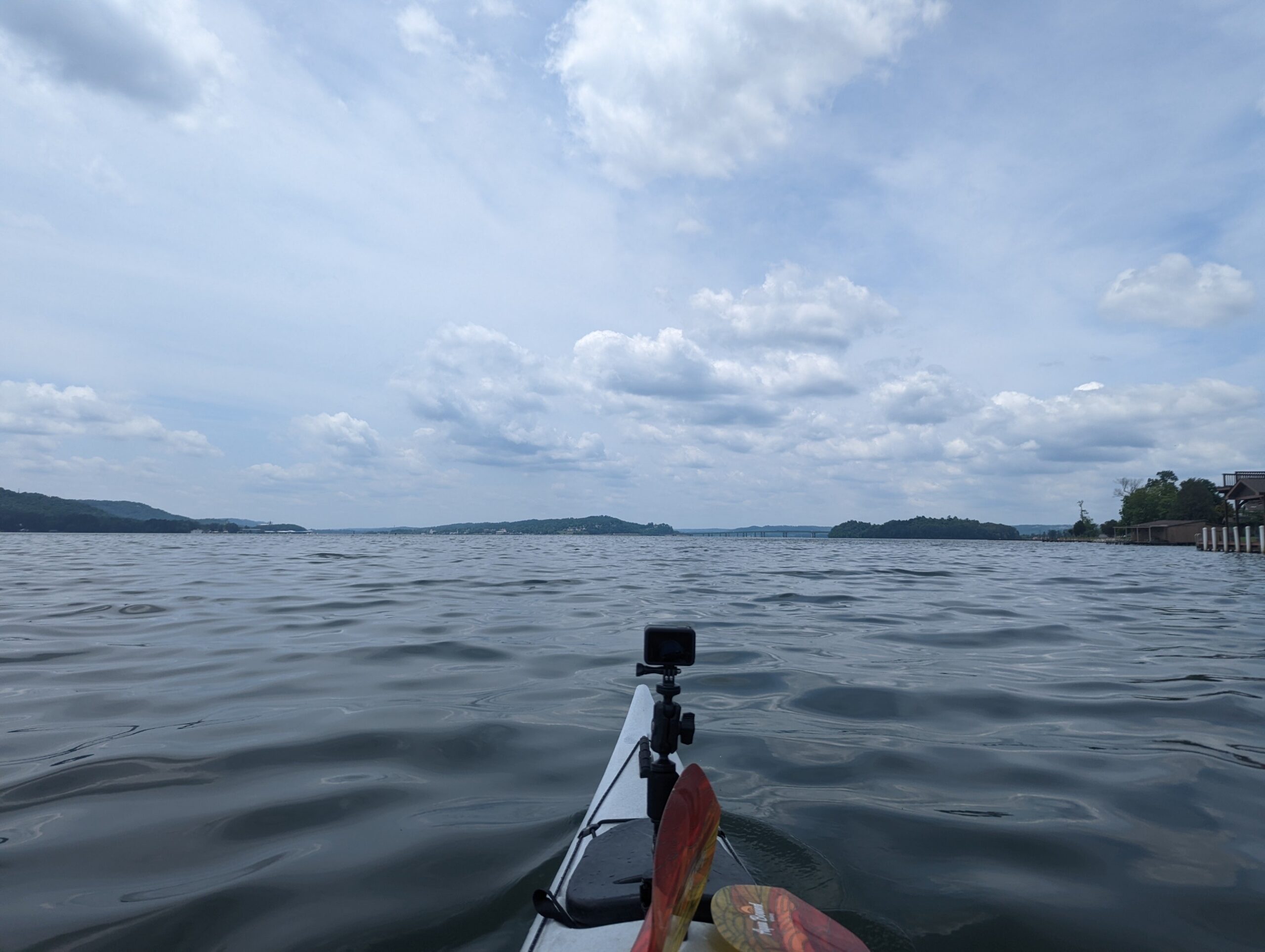
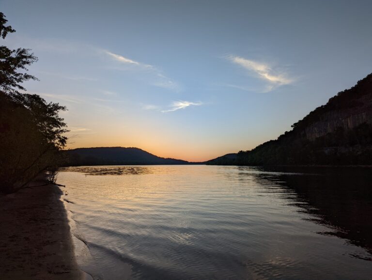
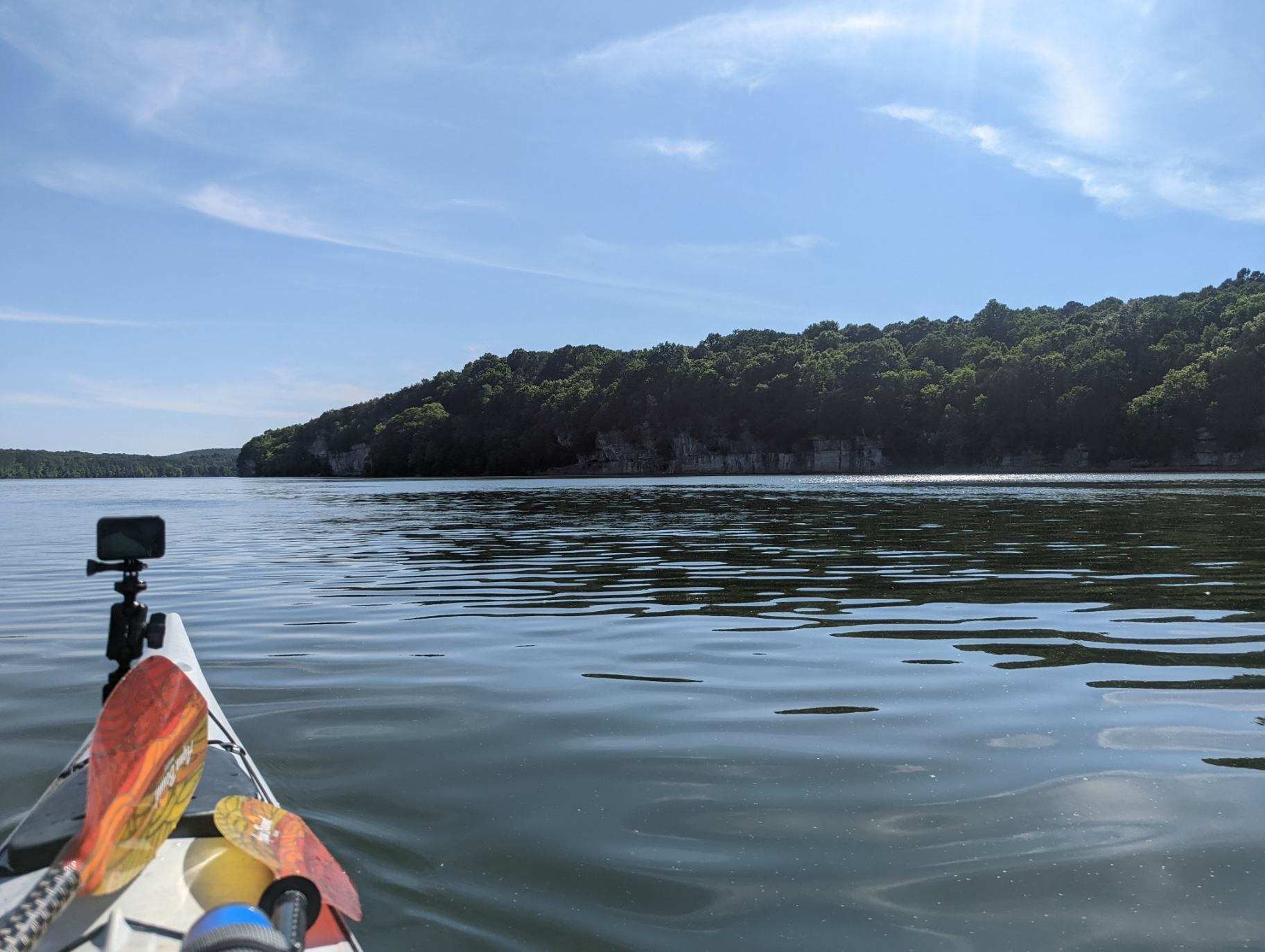
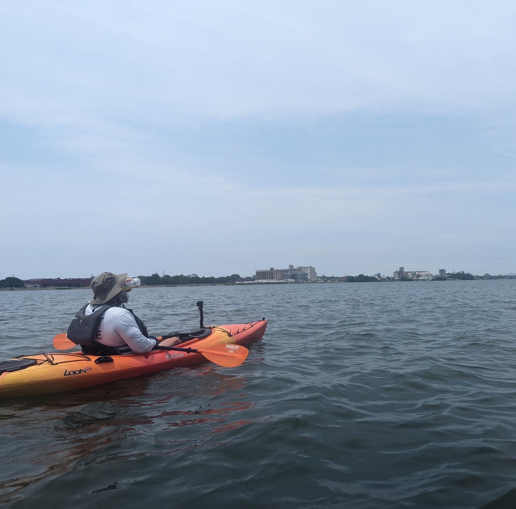
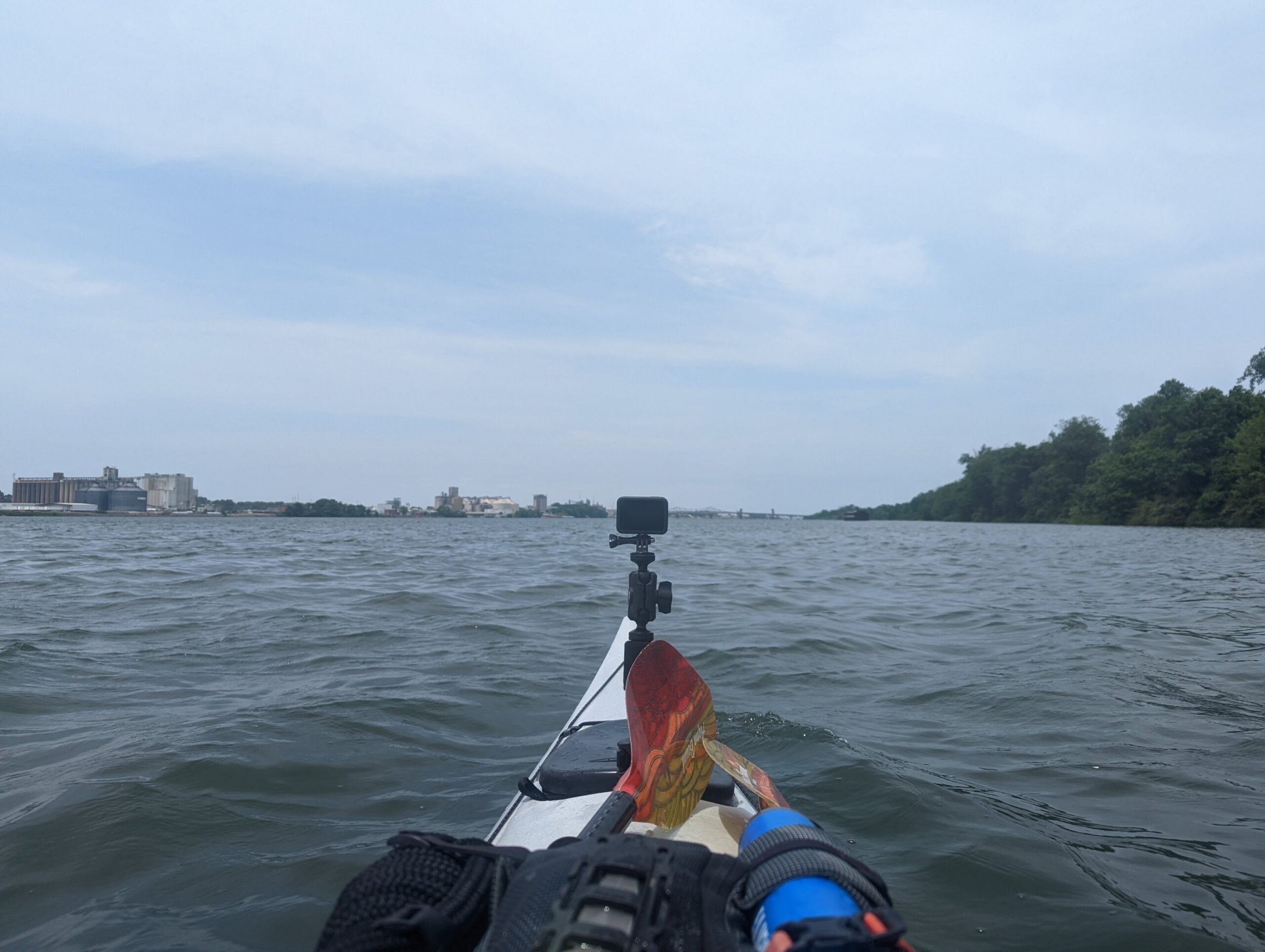
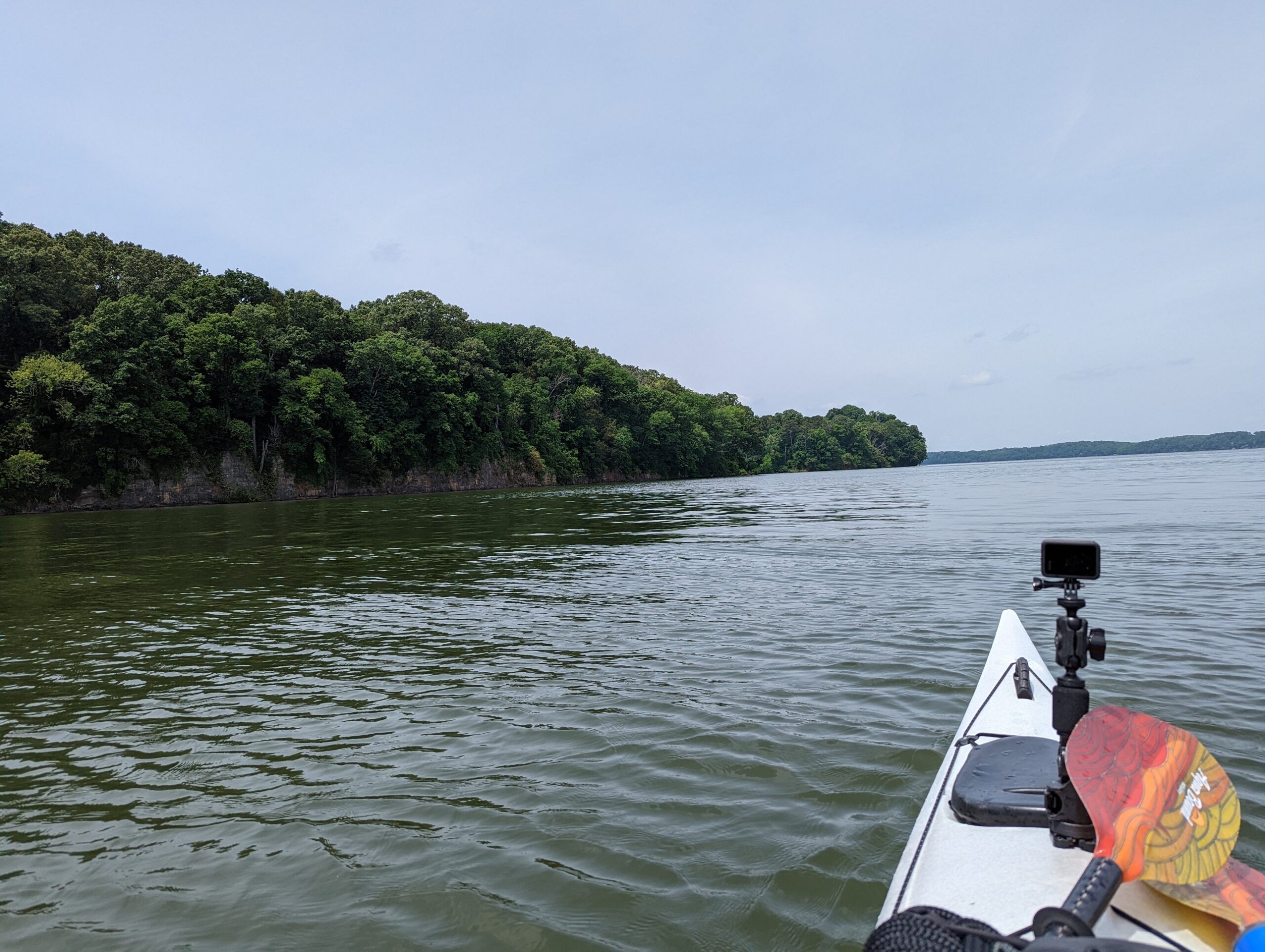
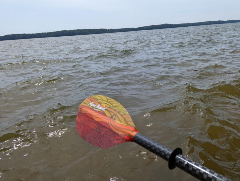
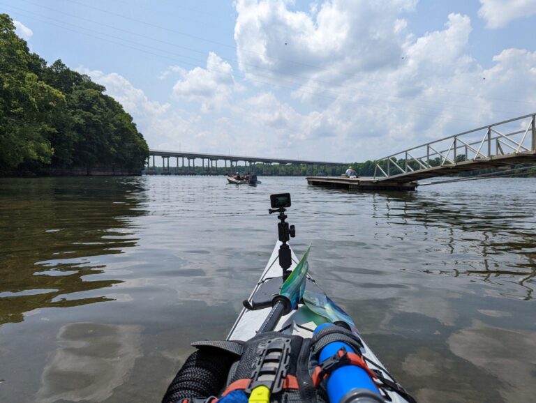
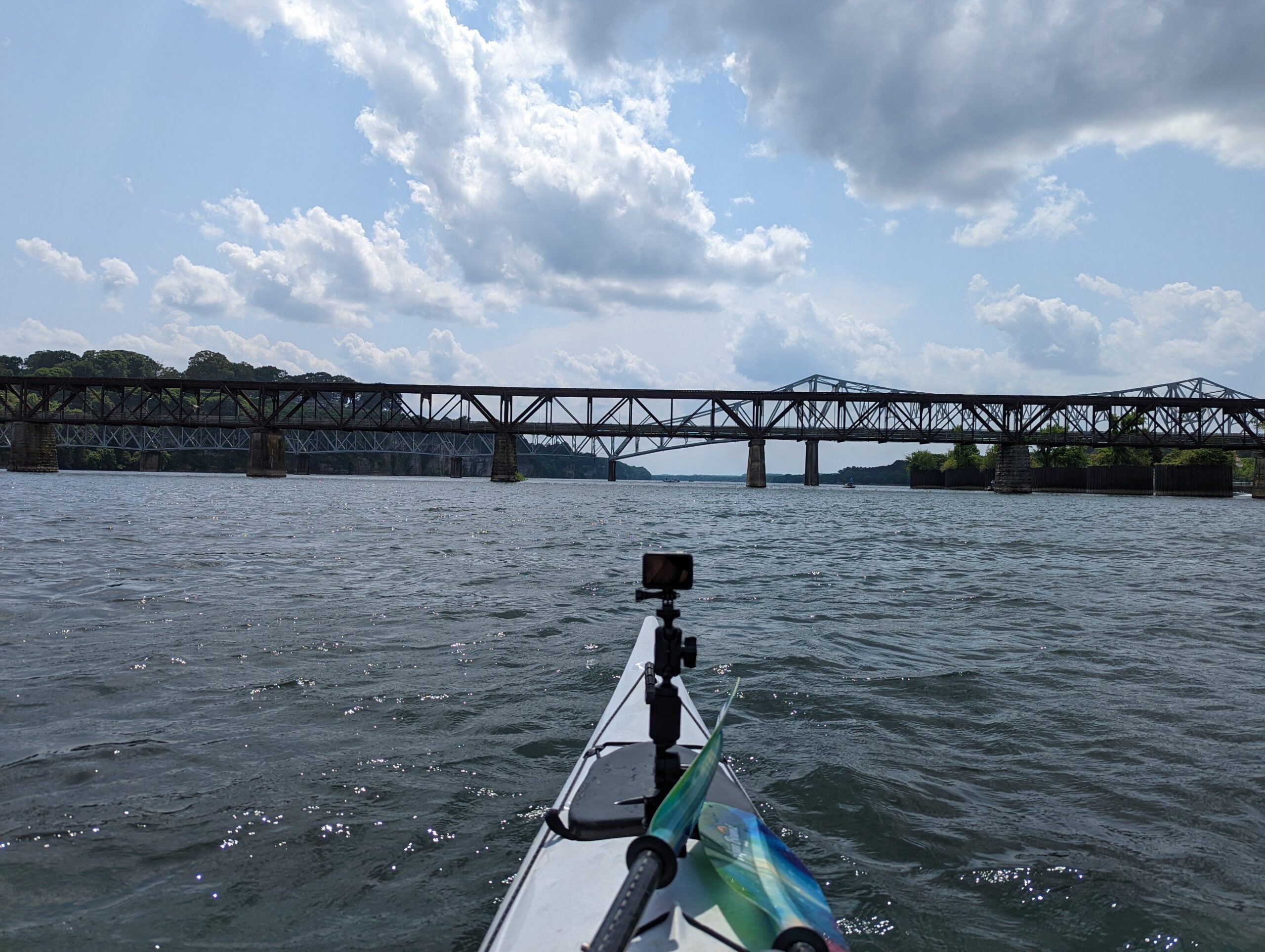
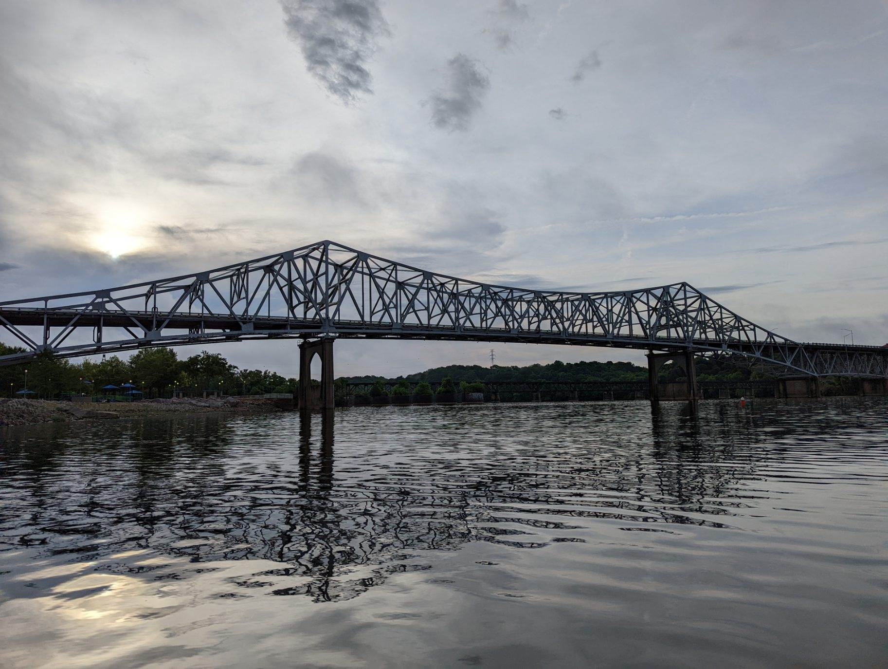
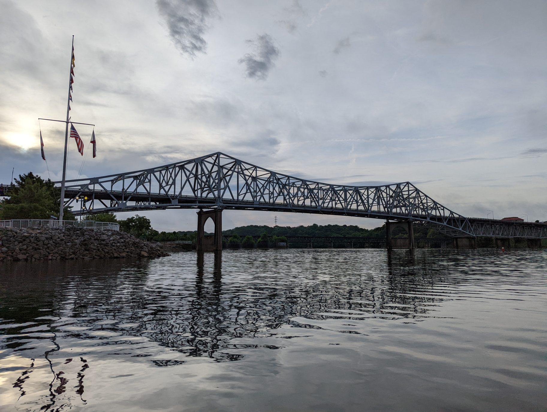
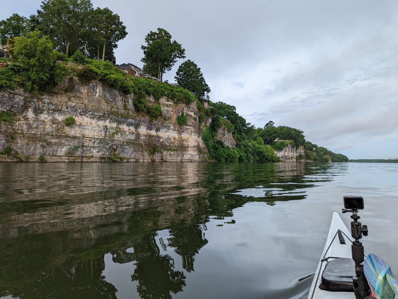
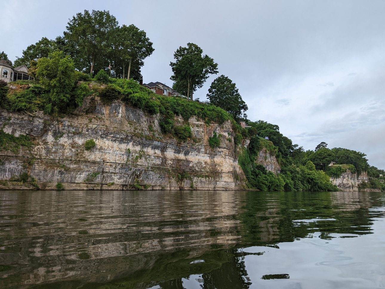
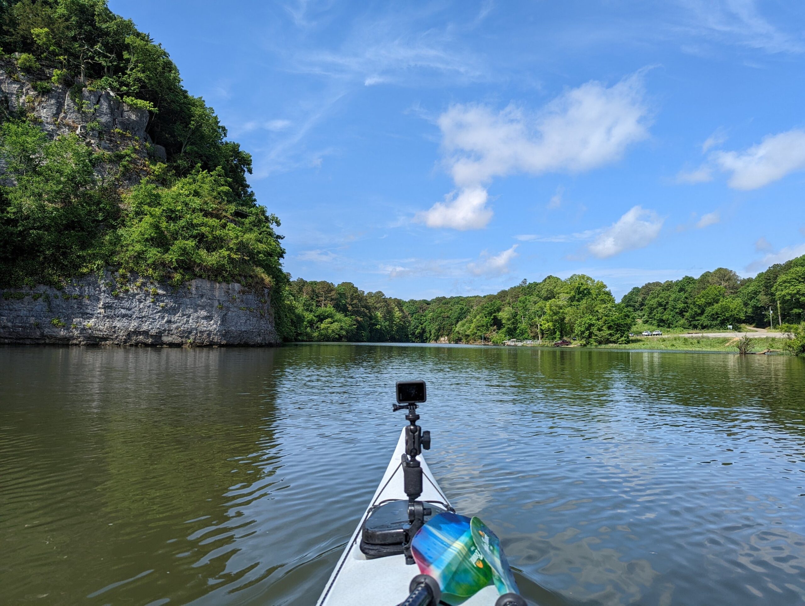
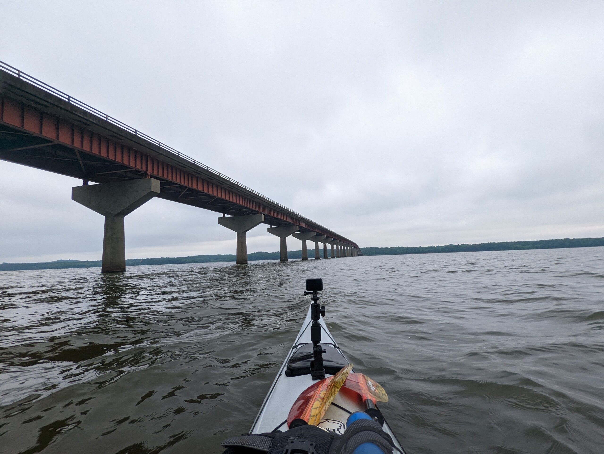
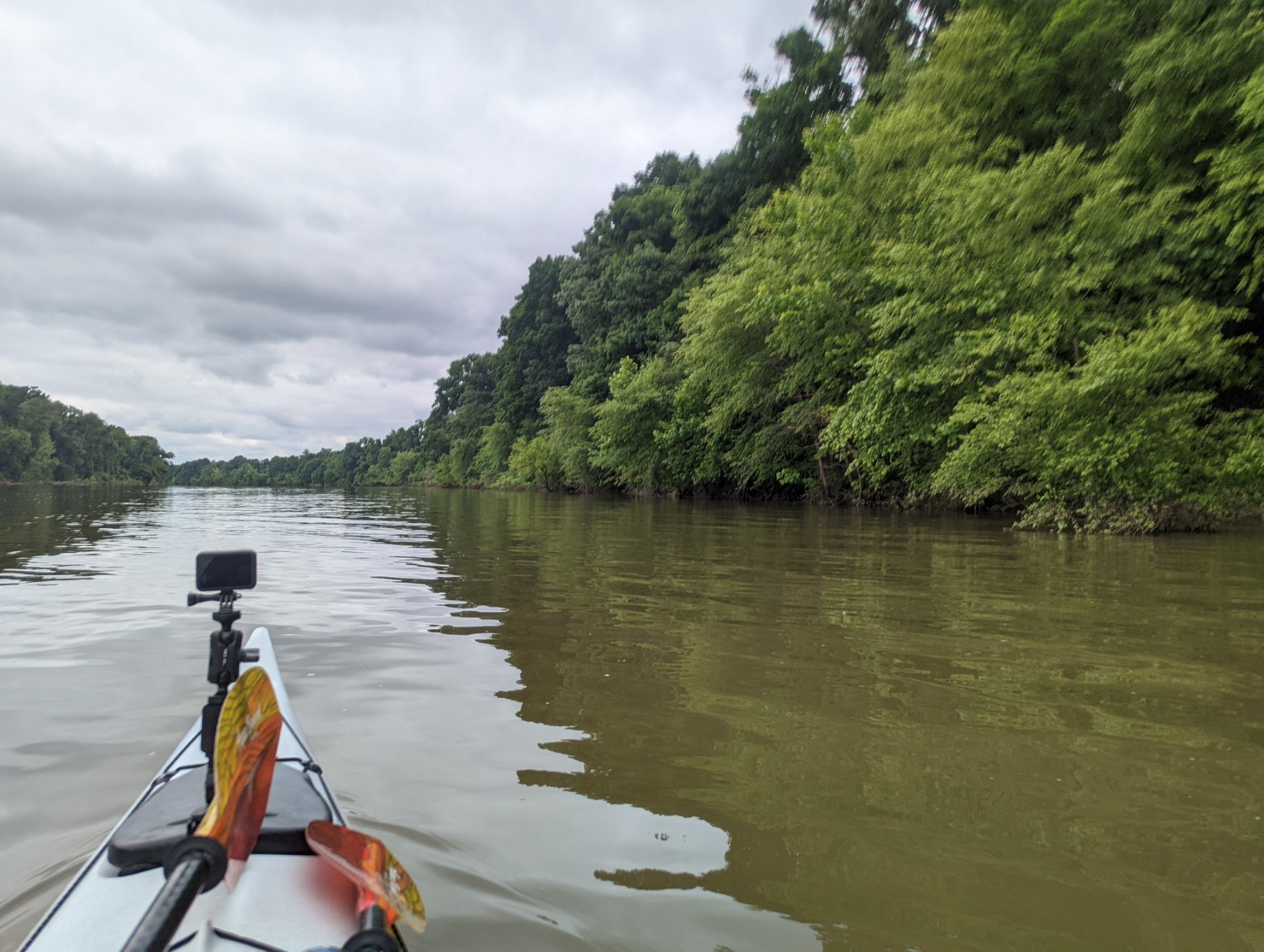
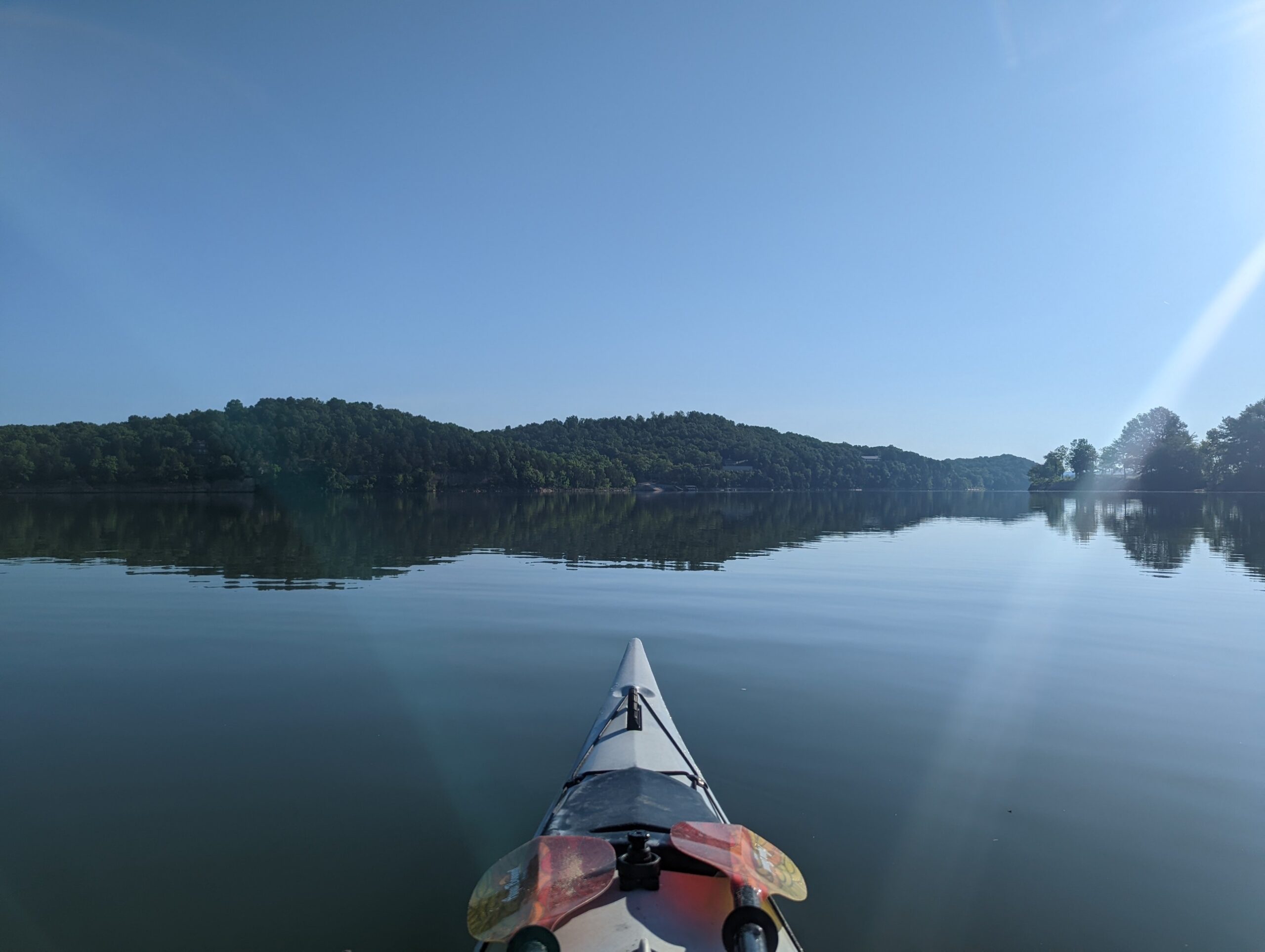
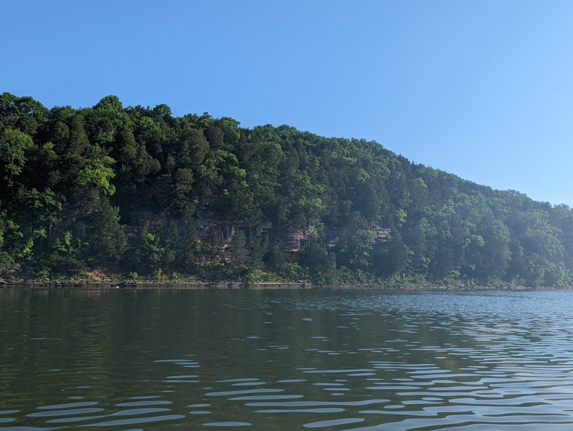
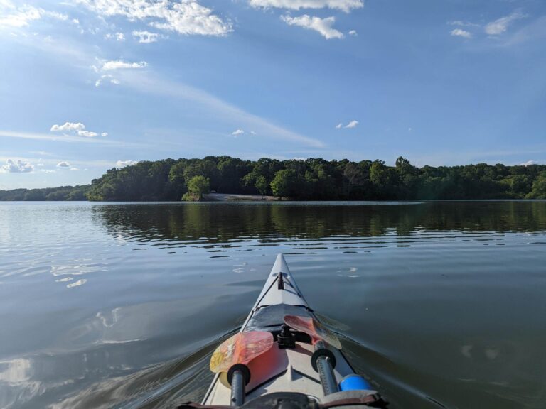
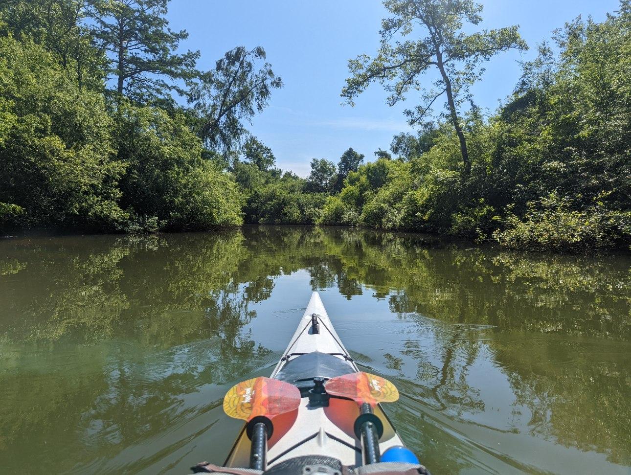
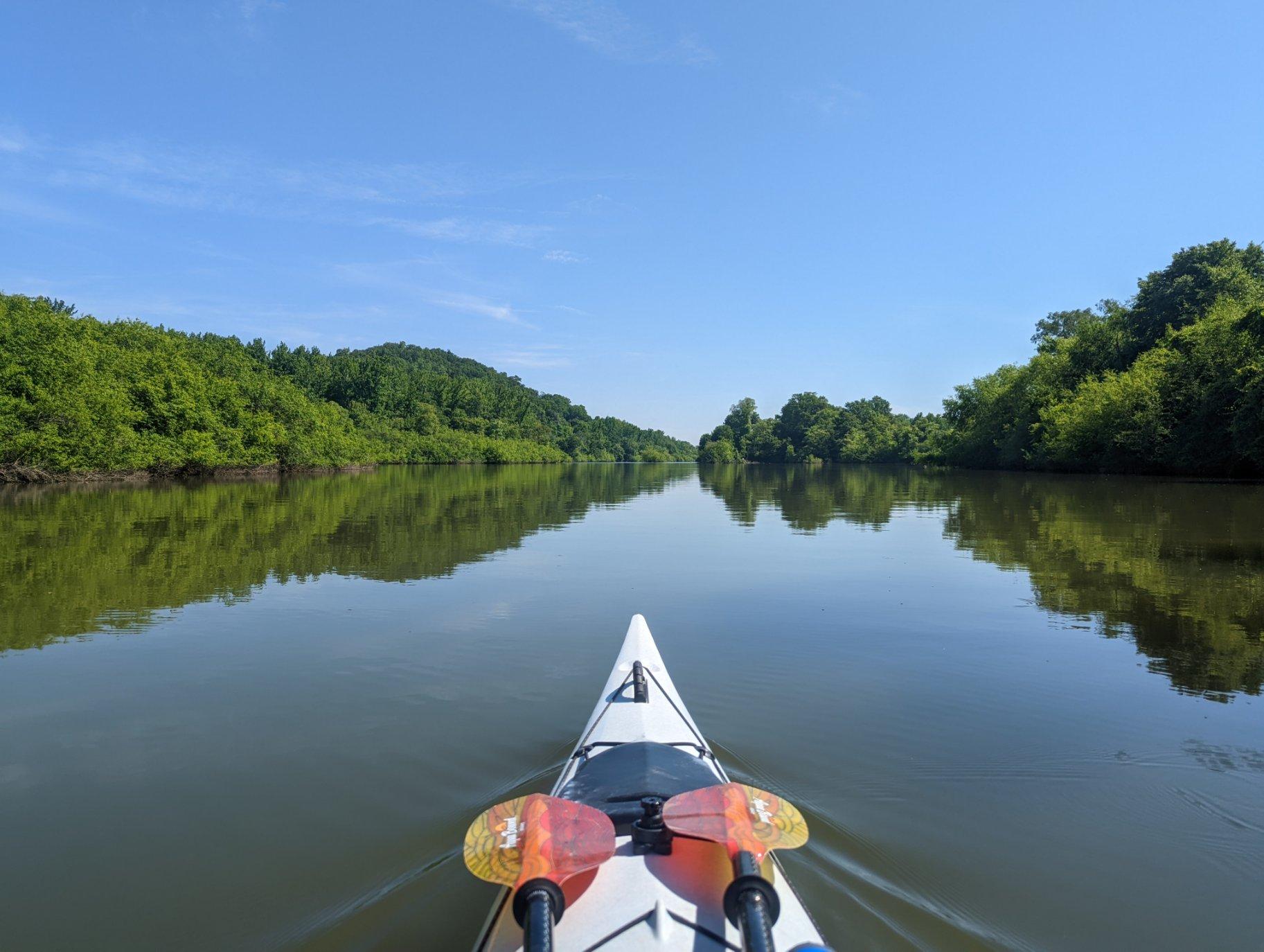
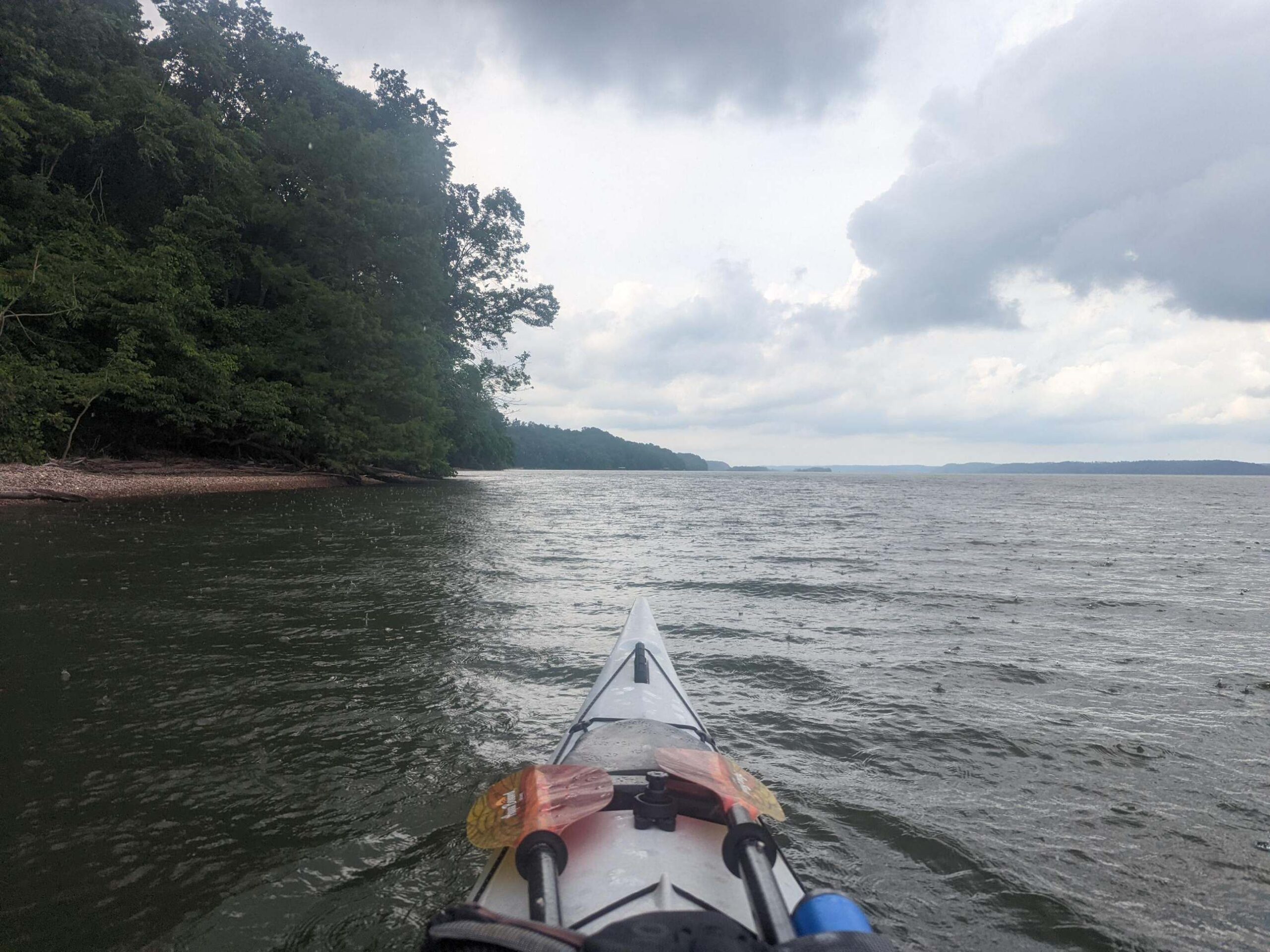
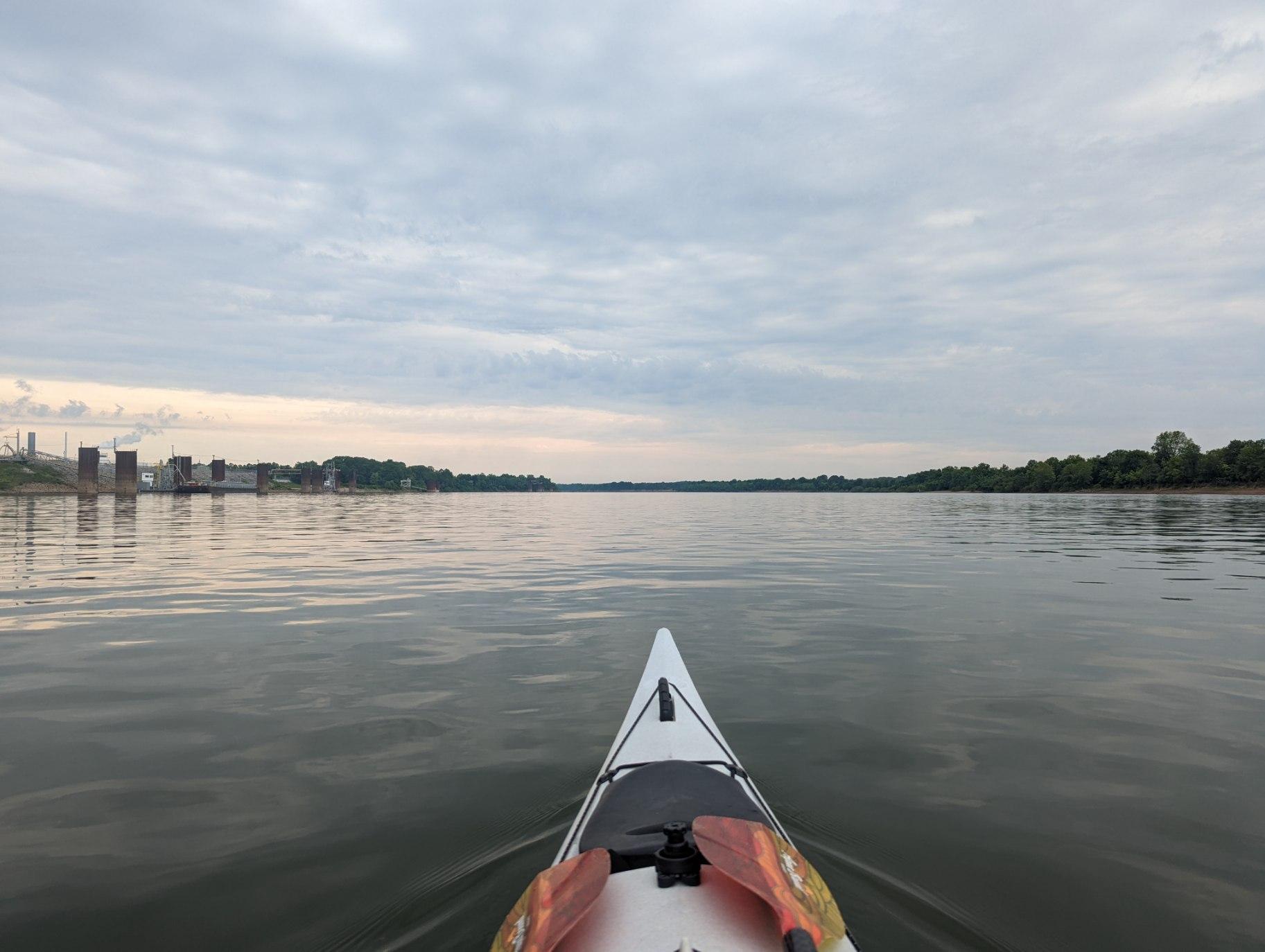
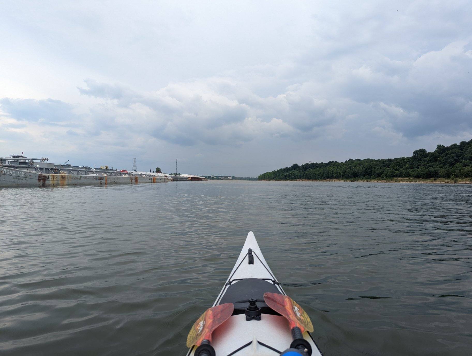
Starting mile - 648 Ending mile - 620 Launch time- 7:30 a.m. Takeout time - 5:30 a.m. After a late night with little sleep, I started my river adventure today fueled by excitement and apprehension. Sheryl Ely of Knoxville's Parks and Recreation Department, Ed (?) of ? and Brad Collett of the Tennessee RiverLine joined me for the first 4.5 miles. It was the perfect morning to marvel at the views of Knoxville & their reflections in the river's glass-like water. Thunder rumbled in the background most of the day. We faced the occasional headwind for a mile stretch here and there, but overall our paddling conditions were favorable and we maintained a consistent 4 MPH until we stopped for lunch at Louisville Point Park around 2:30 p.m. Though I'll be eating dehydrated food and protein bars for most of this journey, it was hotel breakfast for lunch -- eggs, cheese, sausage & a cinnamon raisin bagel -- that fueled me for our last few hours of paddling. The day was hard on my body, paddling for about 9.5 hours with one half hour break for food, but I was all smiles. Things I am thankful for: * A good pair of paddling gloves and an amazingly light paddle (thanks again, @aquabound!) *Continental breakfasts with peanut butter and Nutella * Good friends and mentors
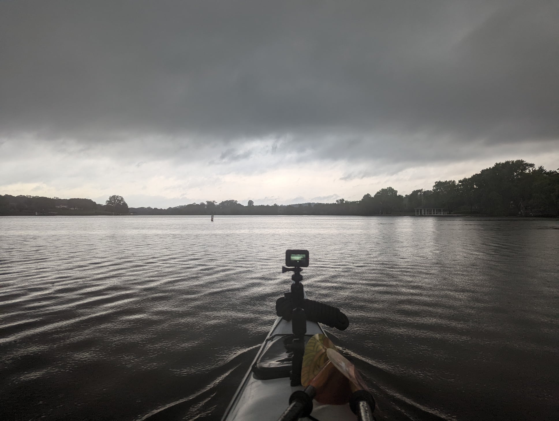
TJ’s plan was to send video & photos & stories often during his trip, but, of course, then there’s weather — a significant element when you’re out in it all day. Today he encountered storms that disrupted both his navigation & his connectivity. He captured this moment before lightening shut him down this morning & will check in as soon as he can.
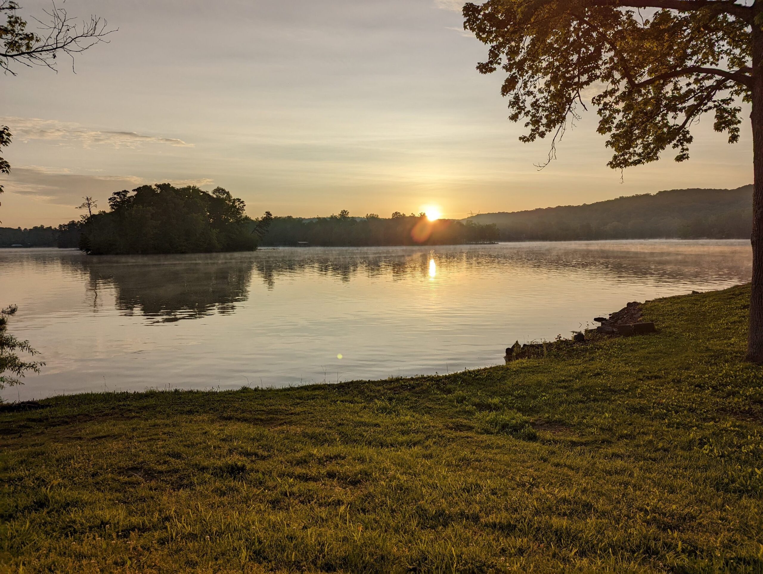
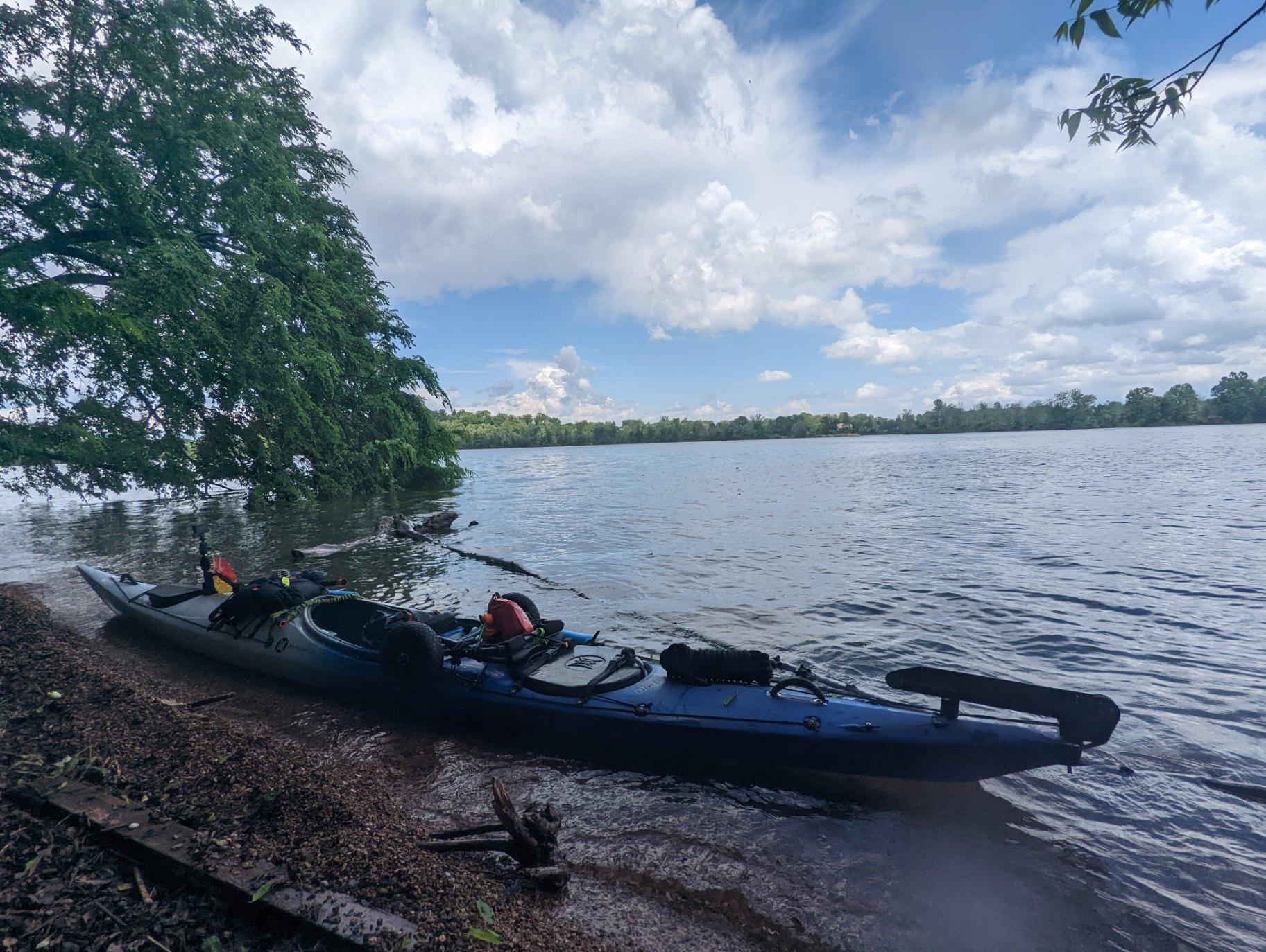
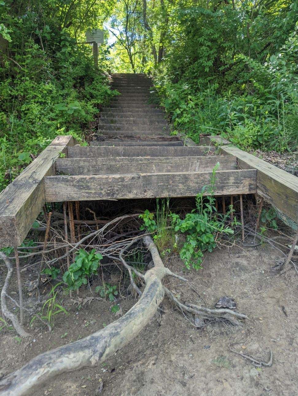
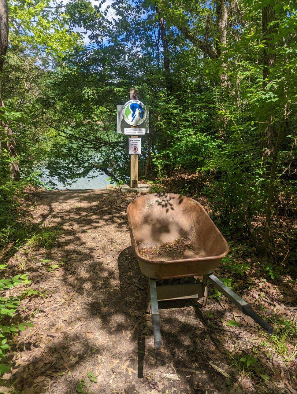
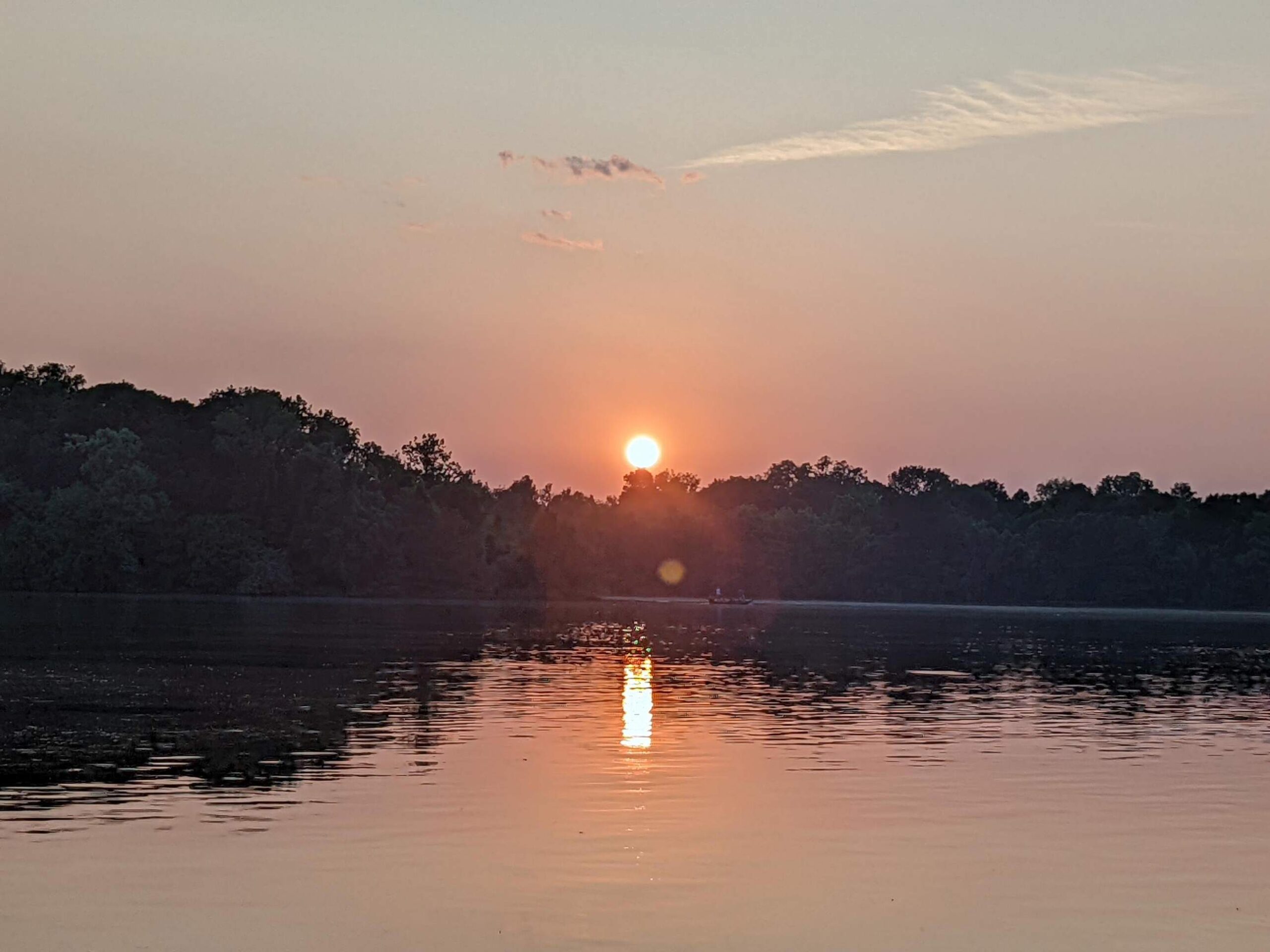
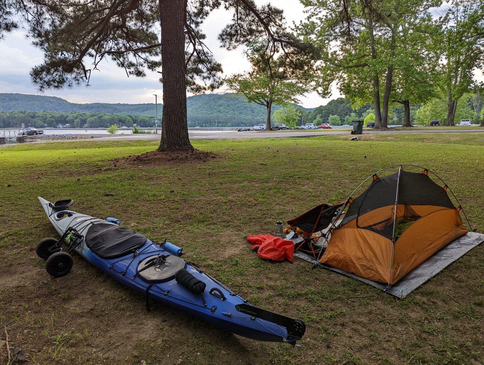
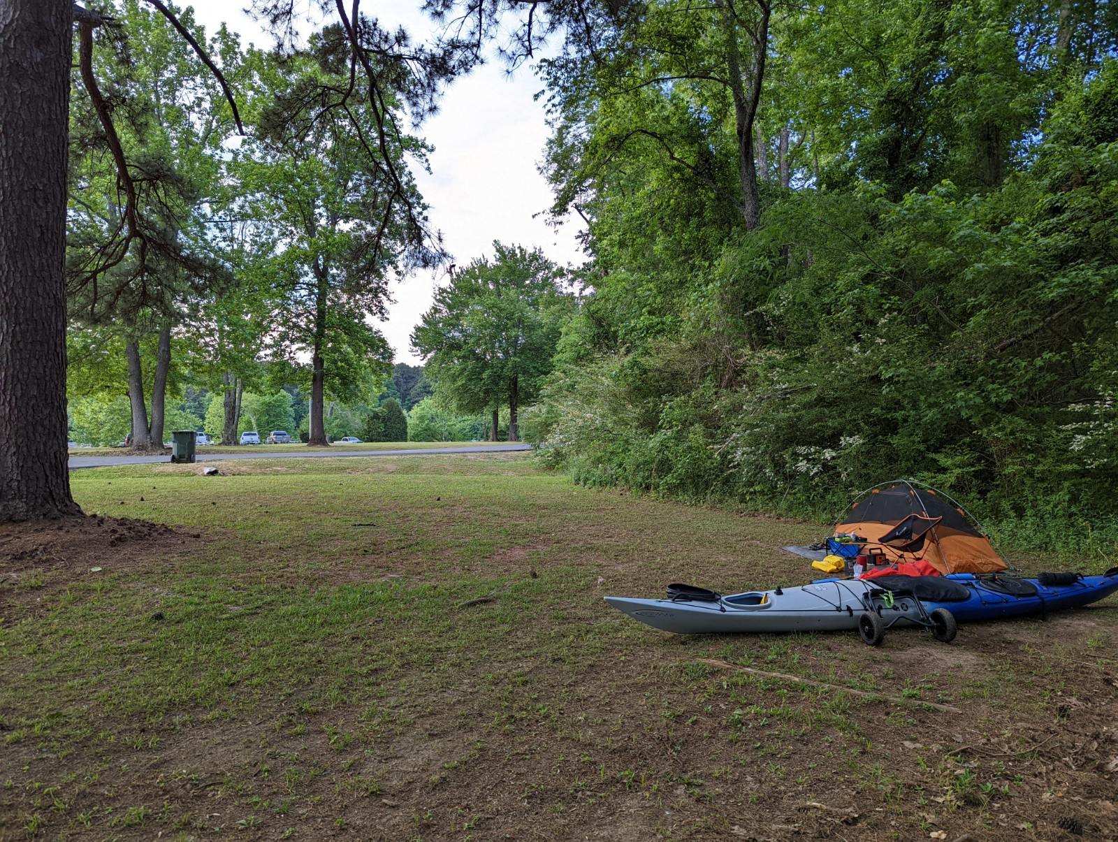
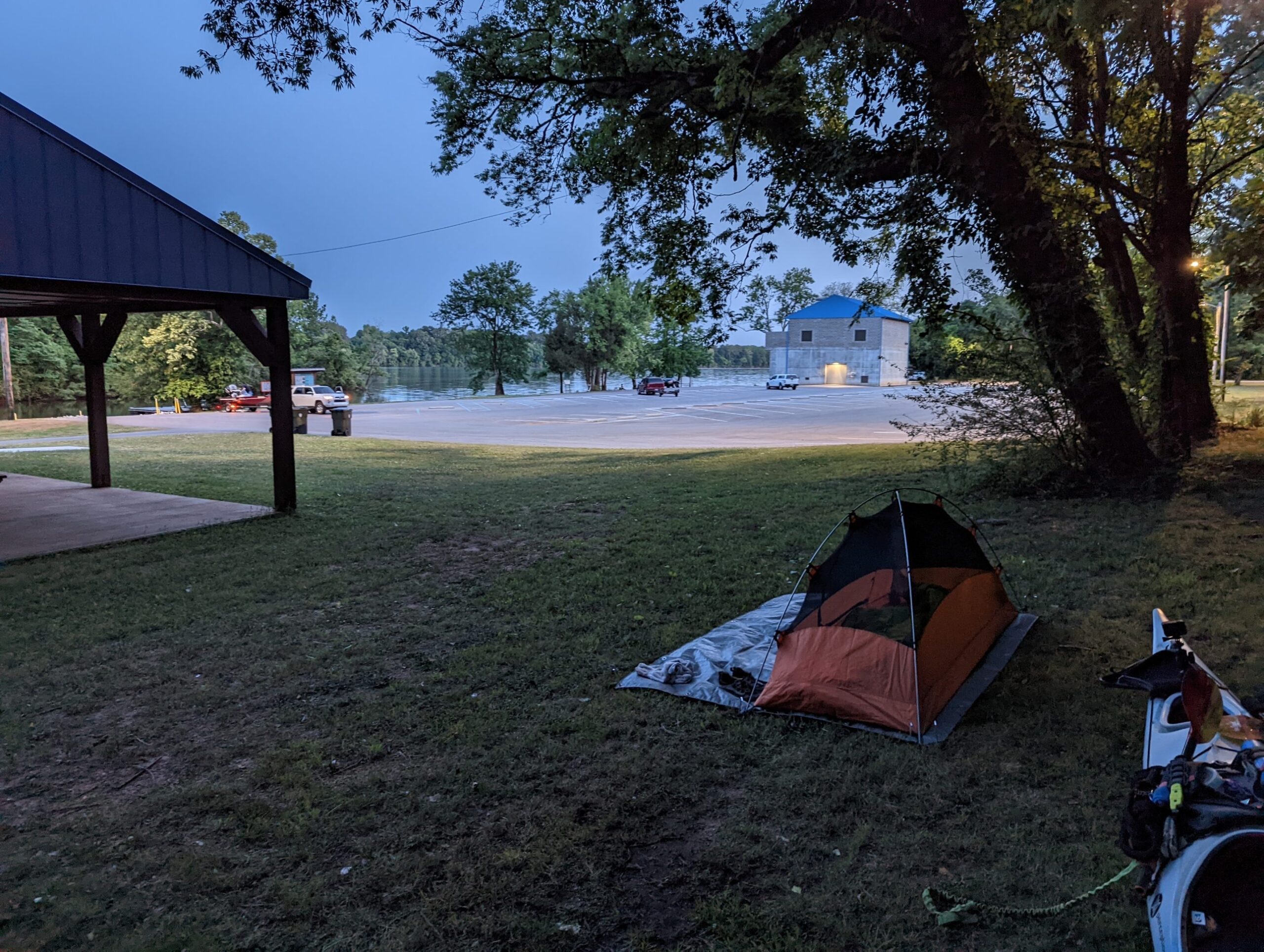
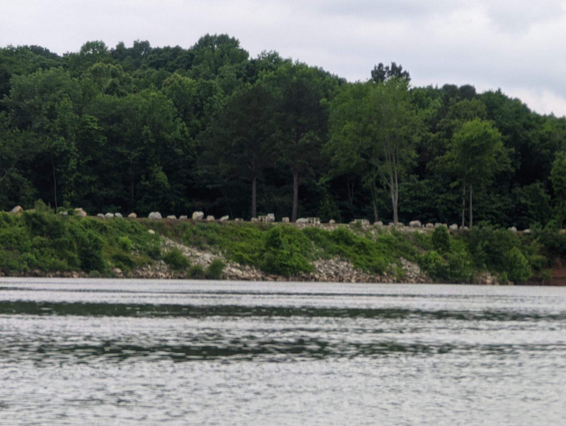
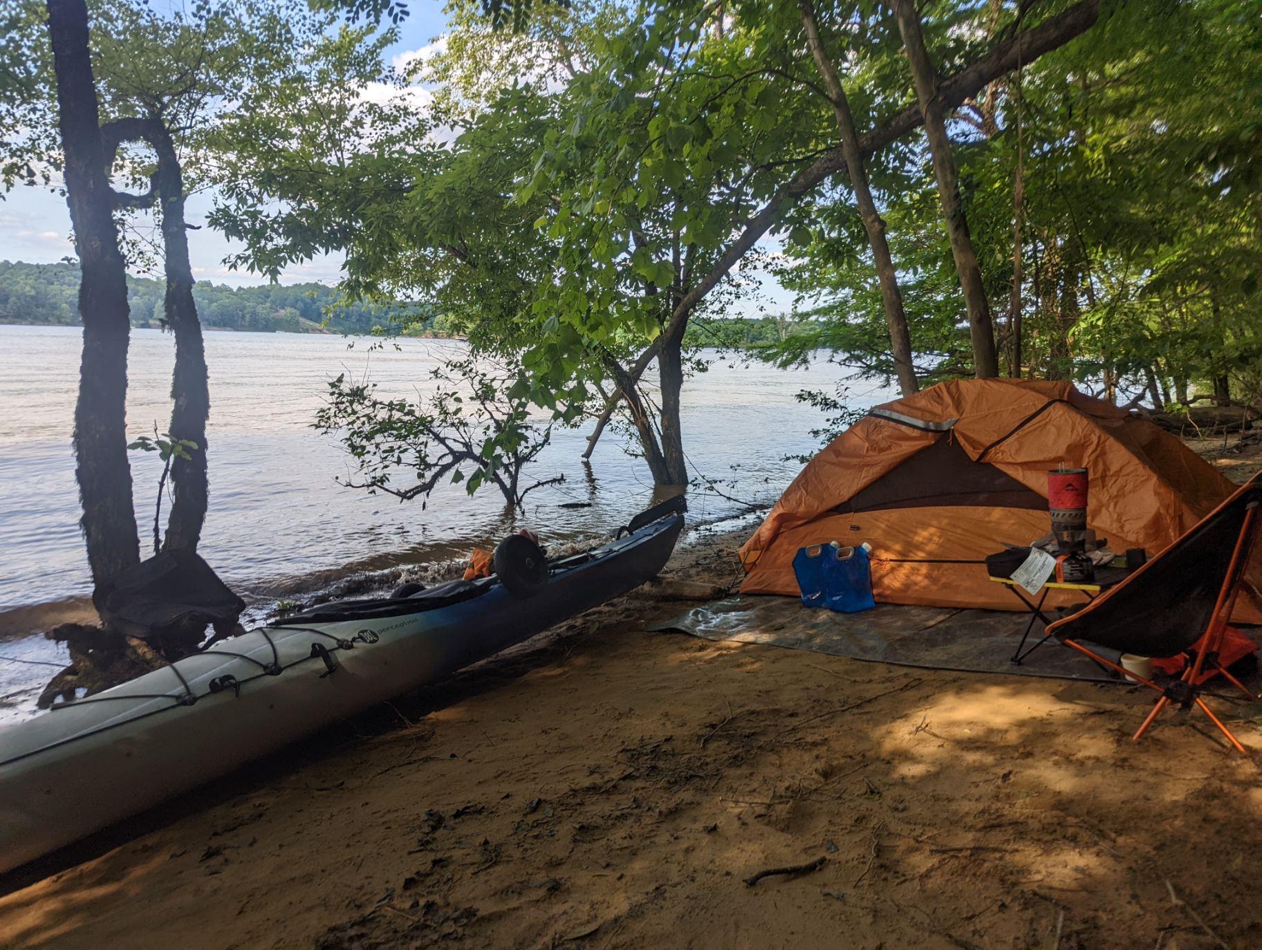
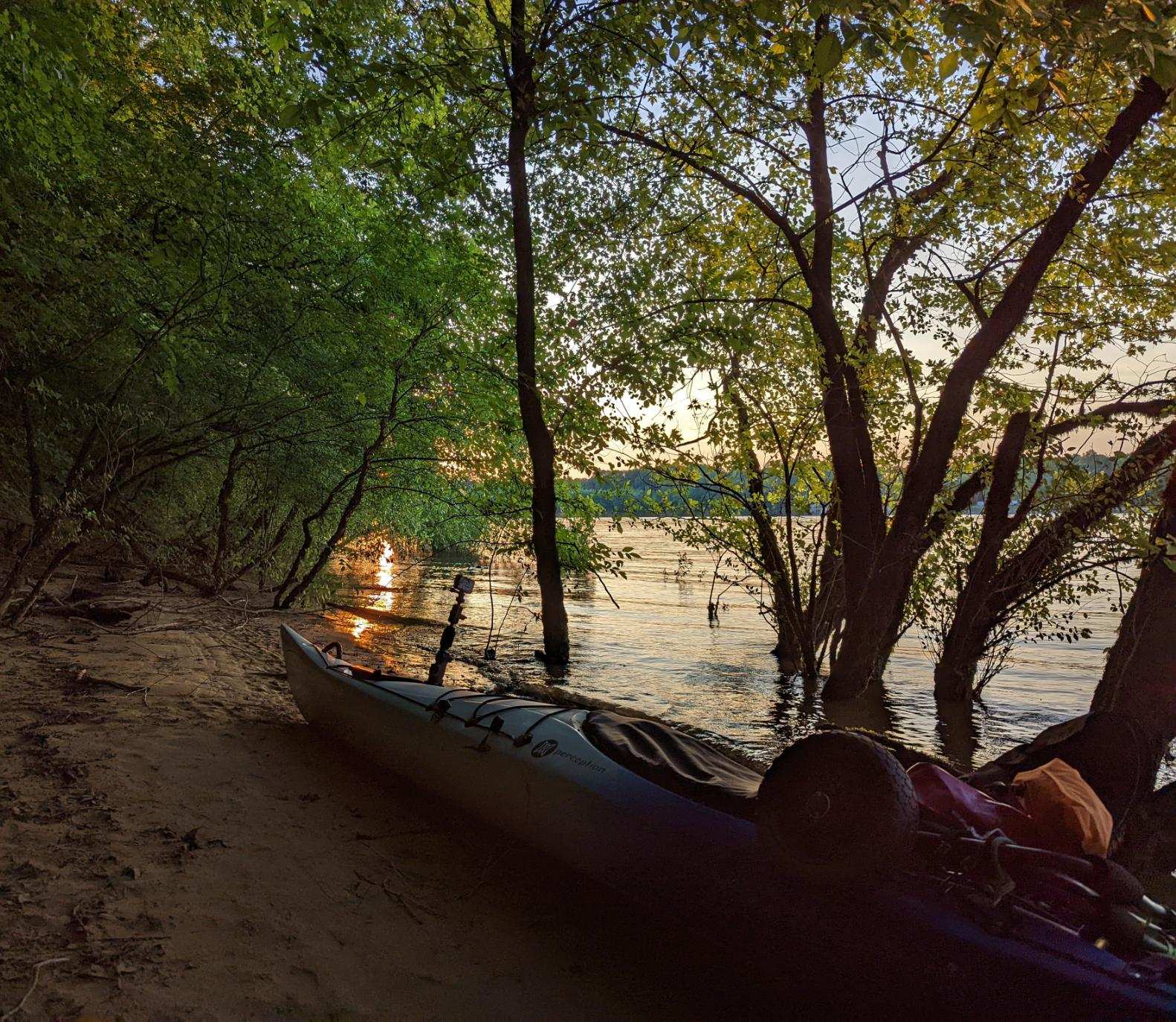
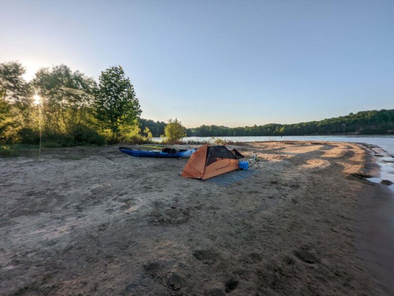
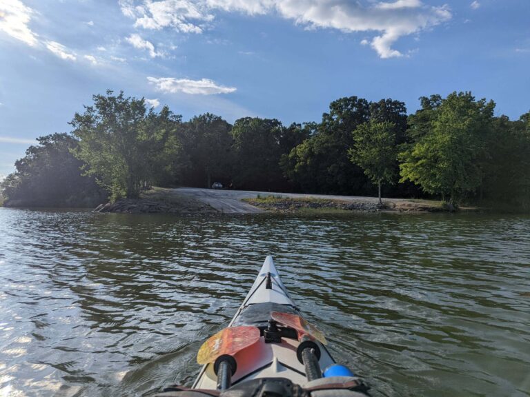
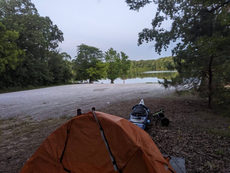
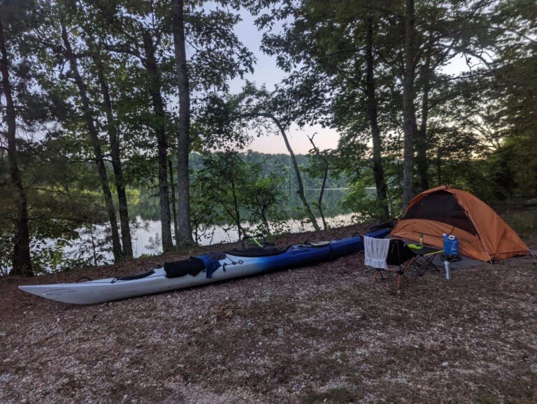
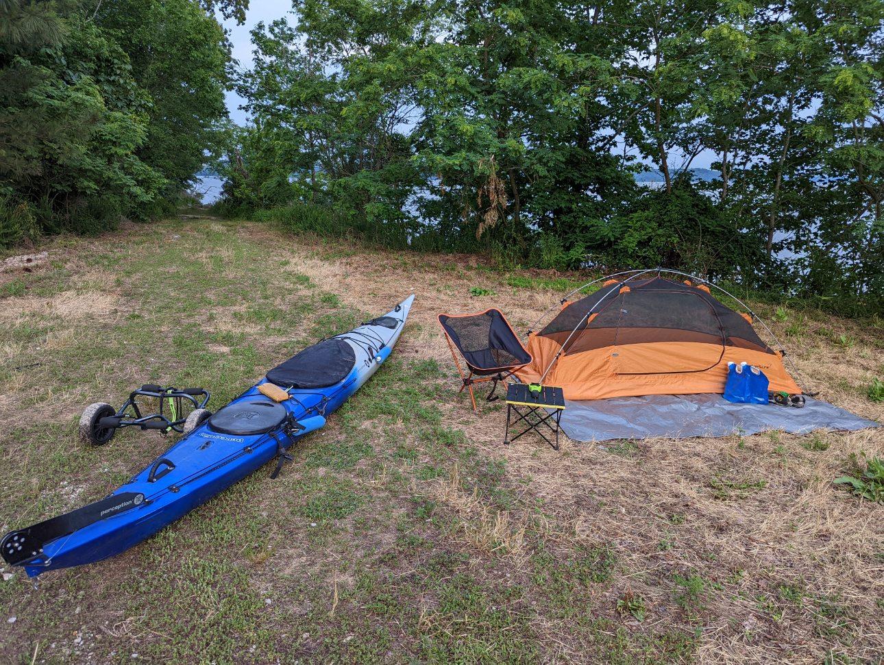
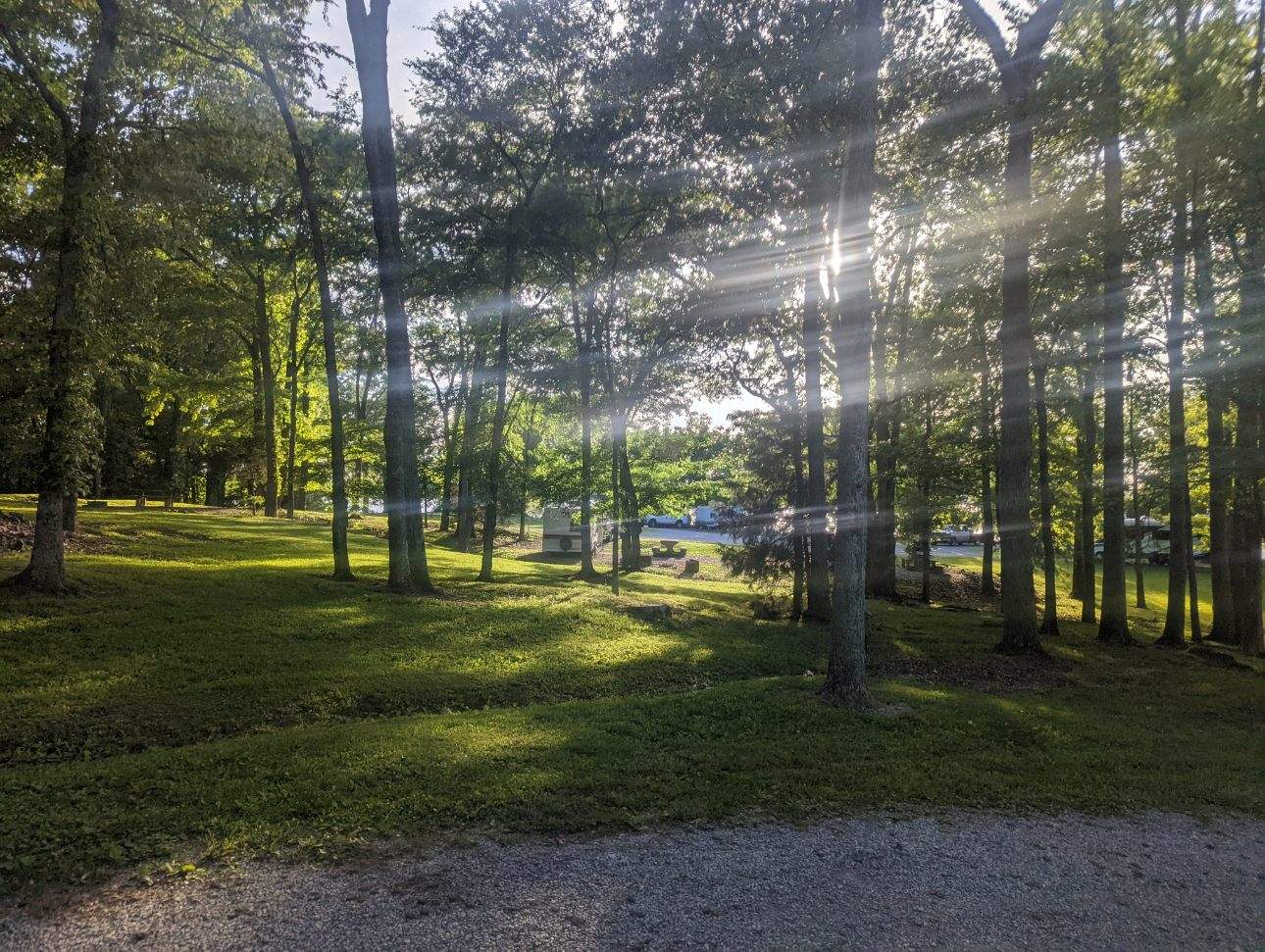
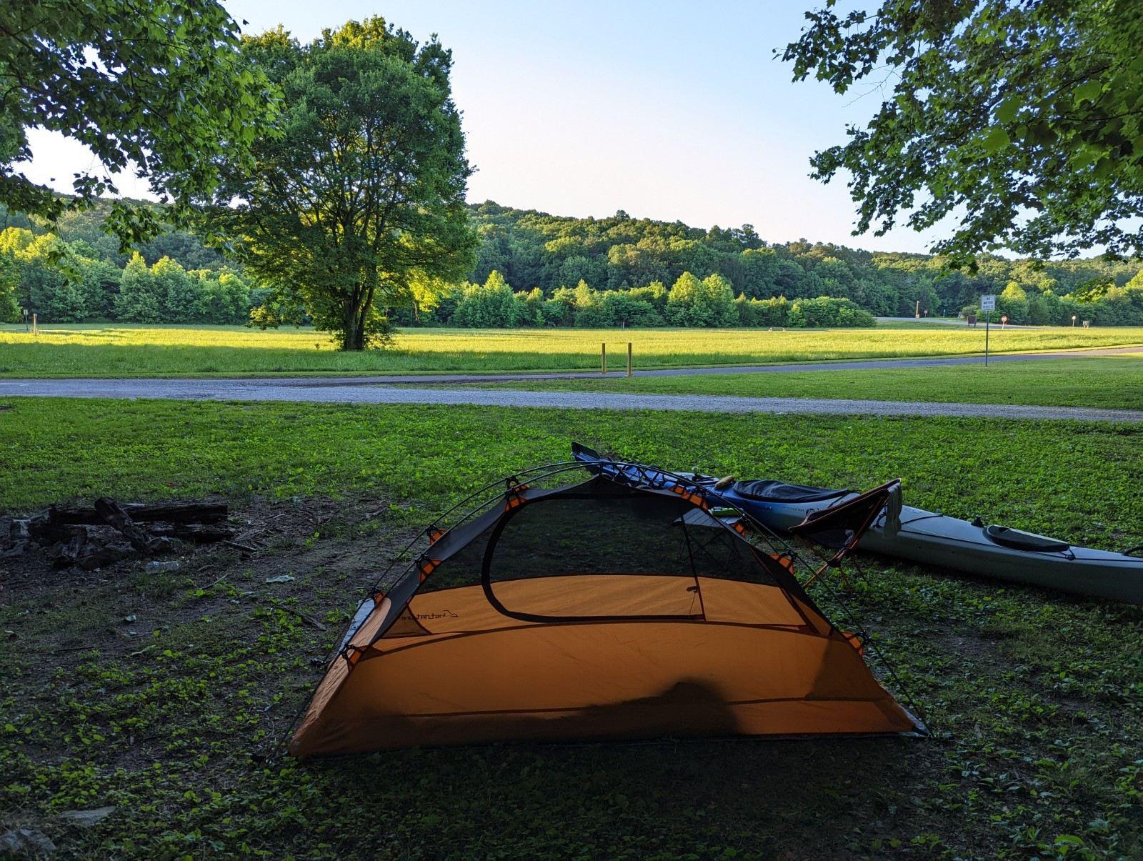
End of the first day! Twenty-eight river miles down, 620 to go. Day No. 1 camp was at Poland Creek Campground, in Louisville, Tennessee. A few months ago when I was planning this trip, the campground manager had promised that even if he didn’t have a spot open when I got there, he’d find one for me. He kept his word & I couldn’t have asked for friendlier hosts or a better place to stay on my first night!
TJ's Travel Journal -- Day 2
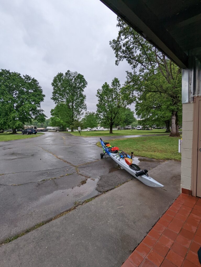
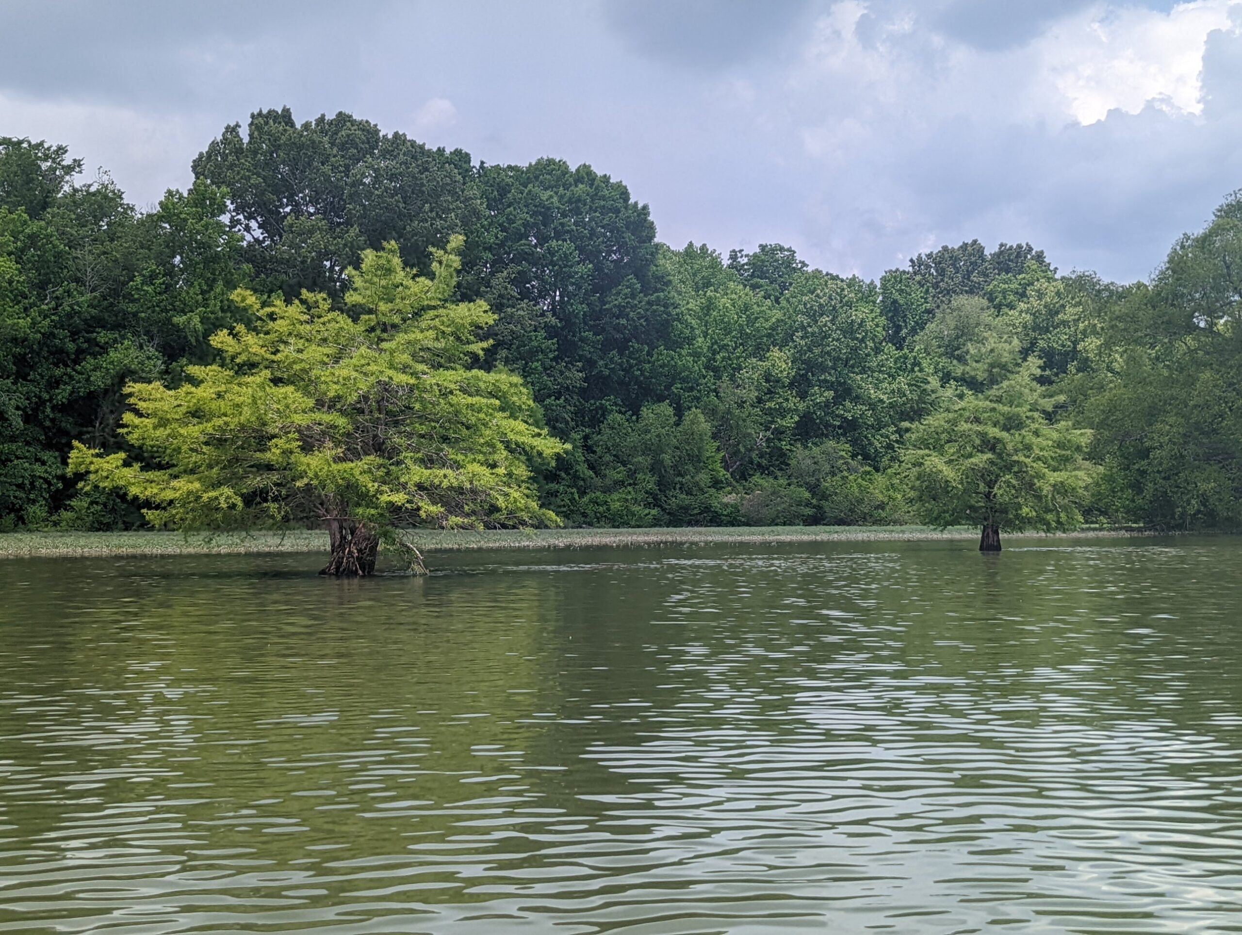
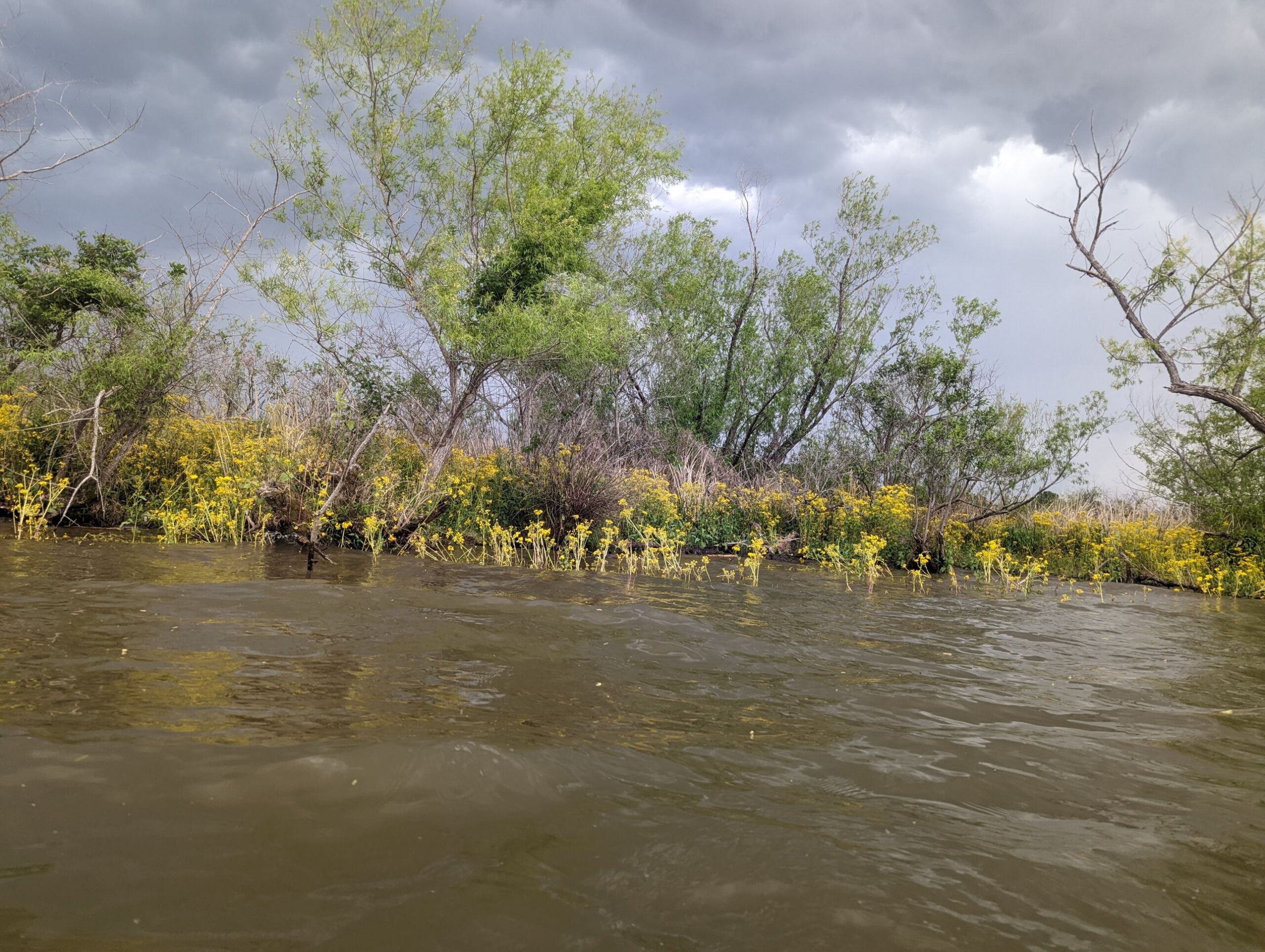
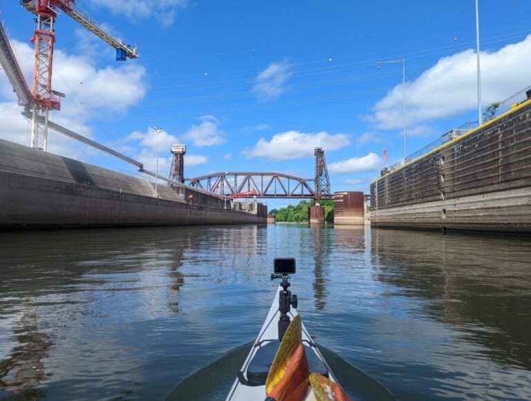
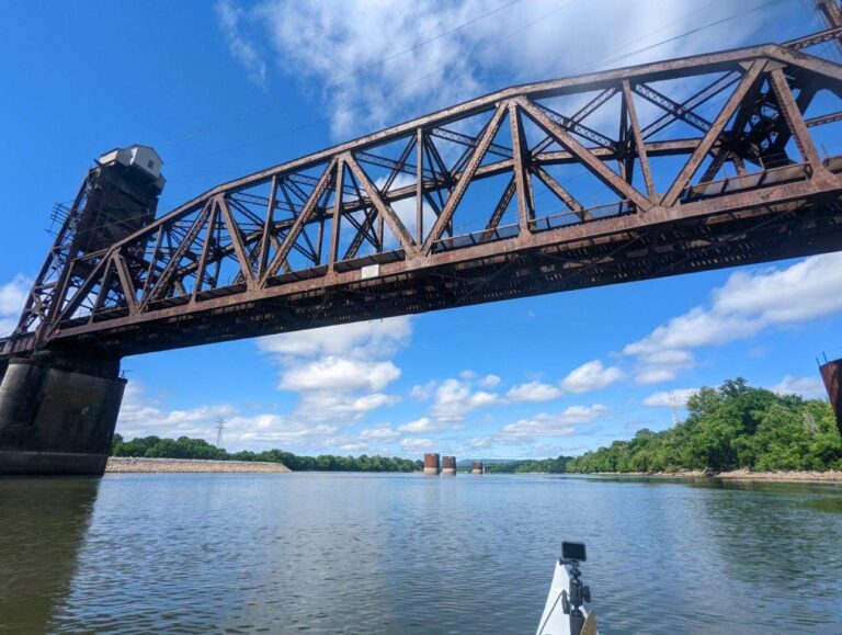
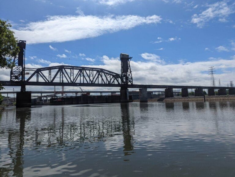
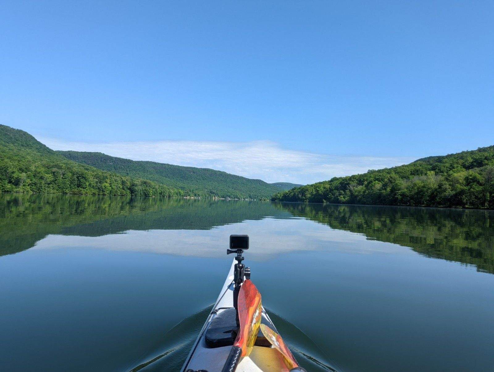
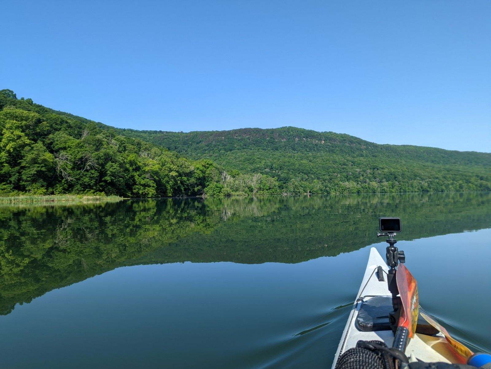
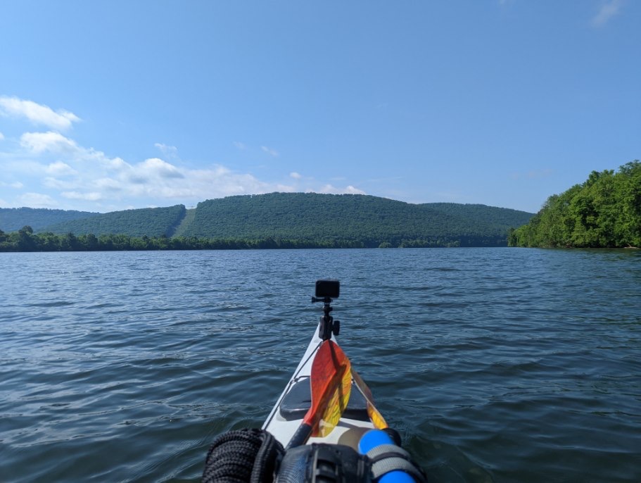
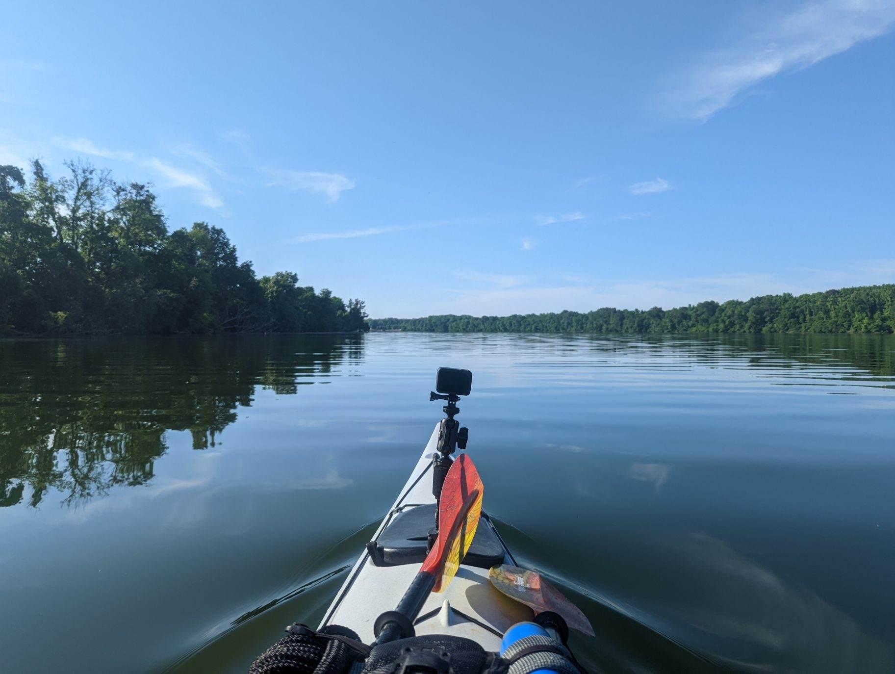
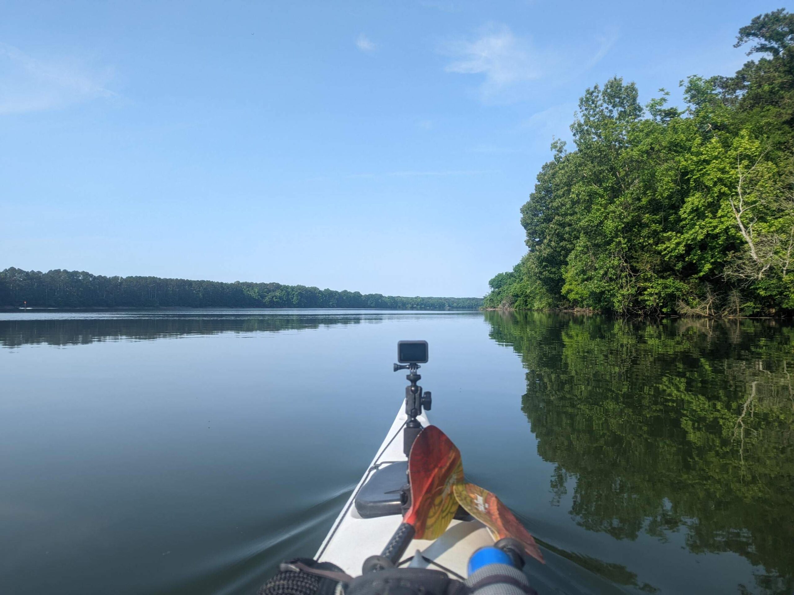
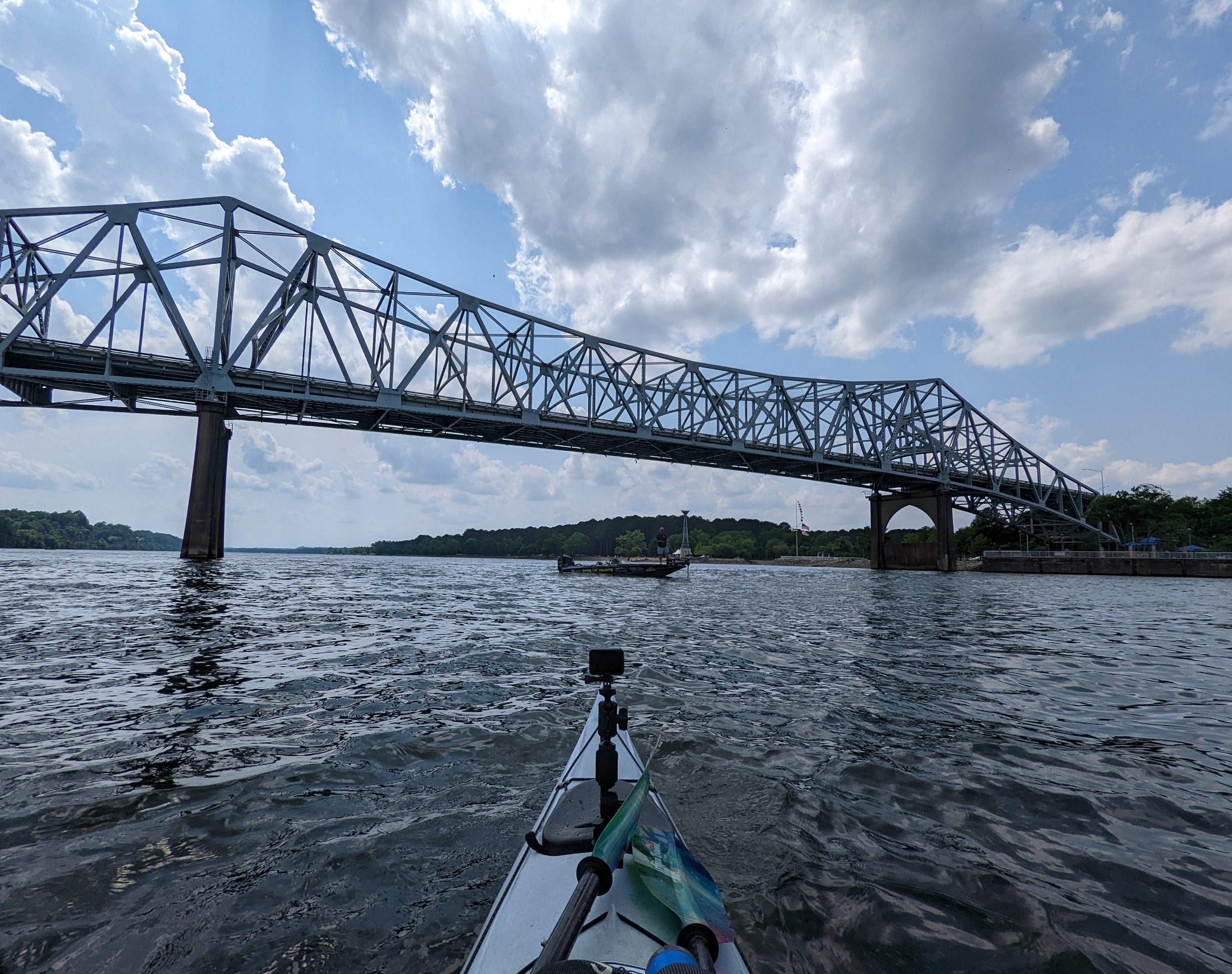
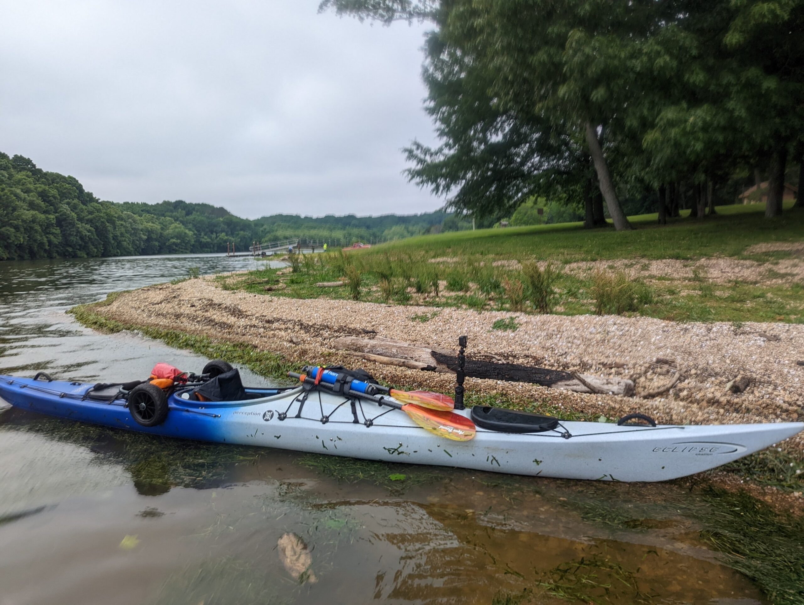
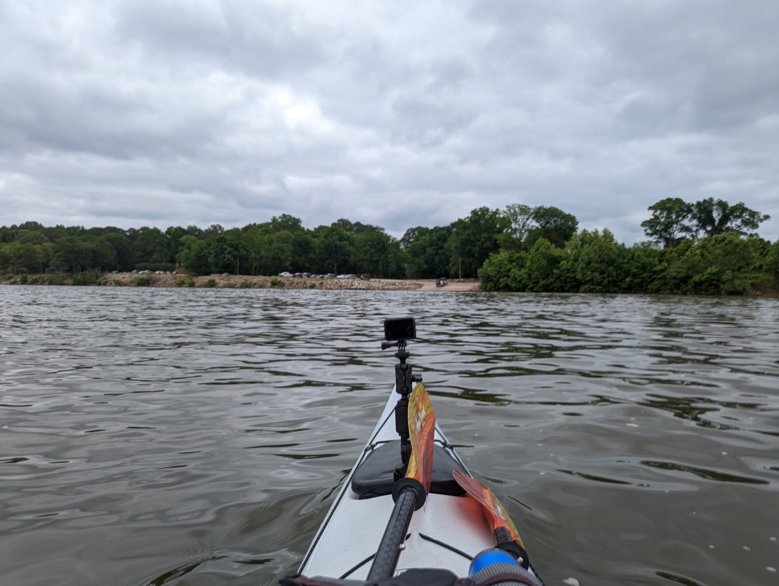
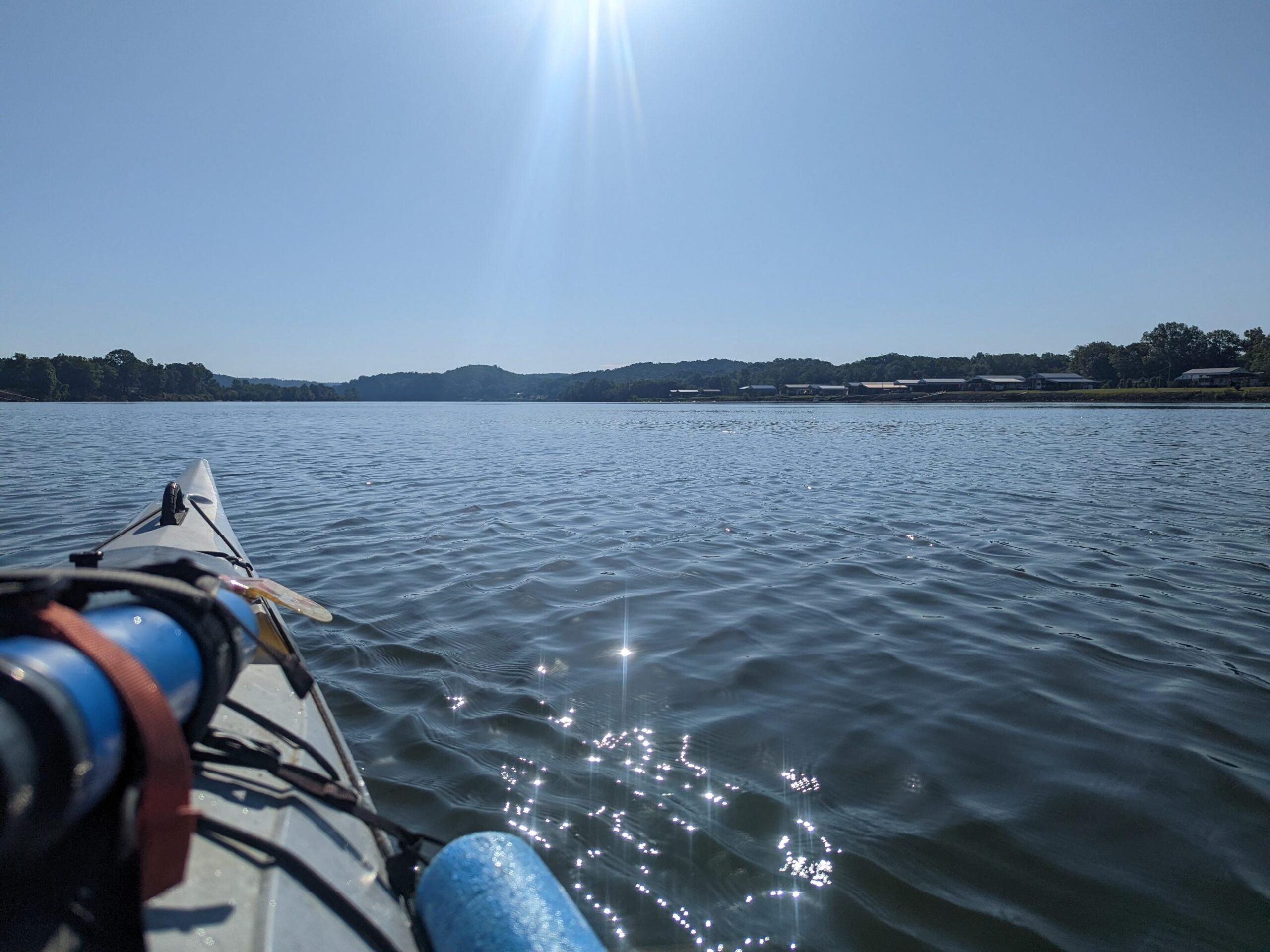
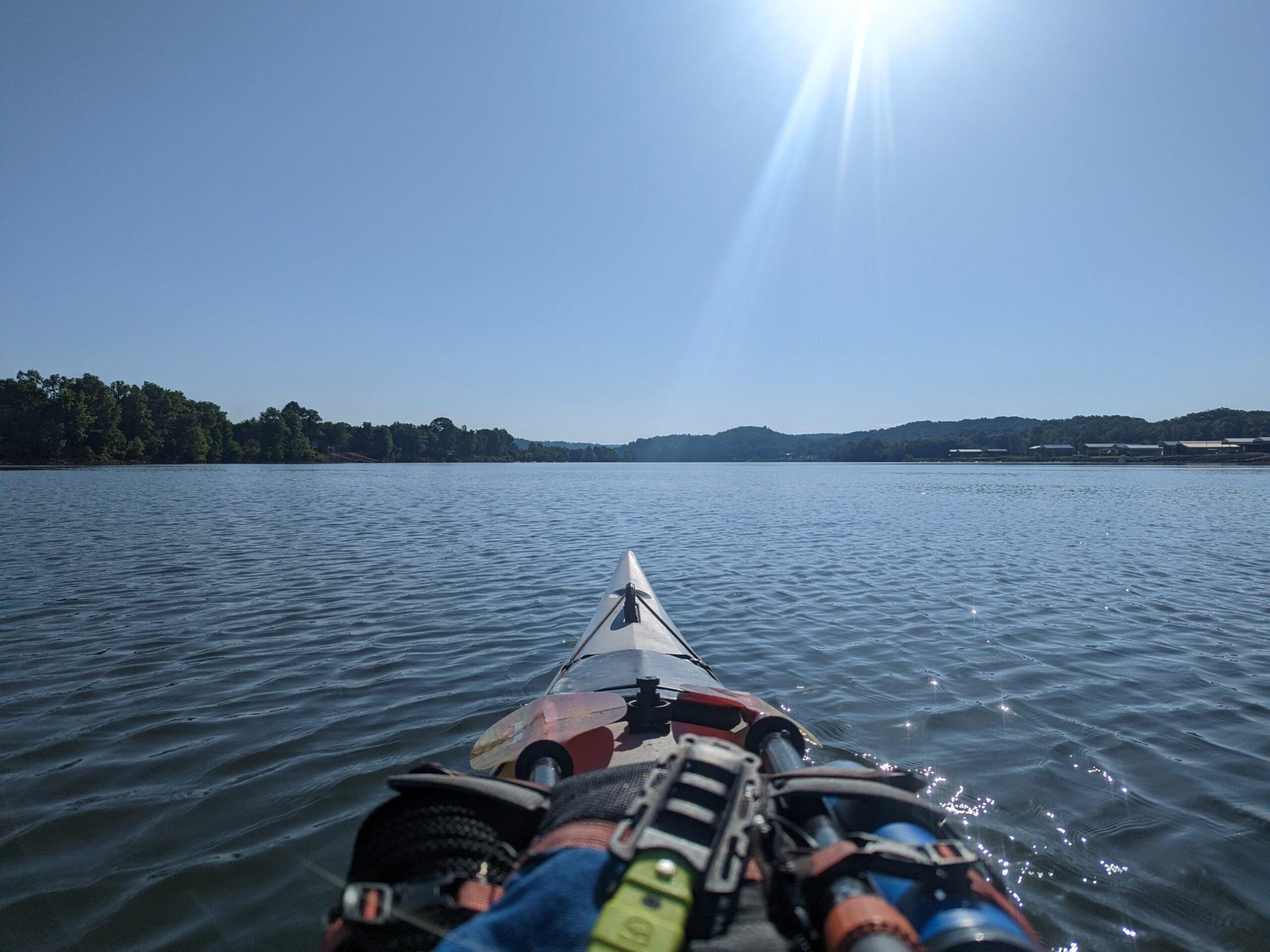
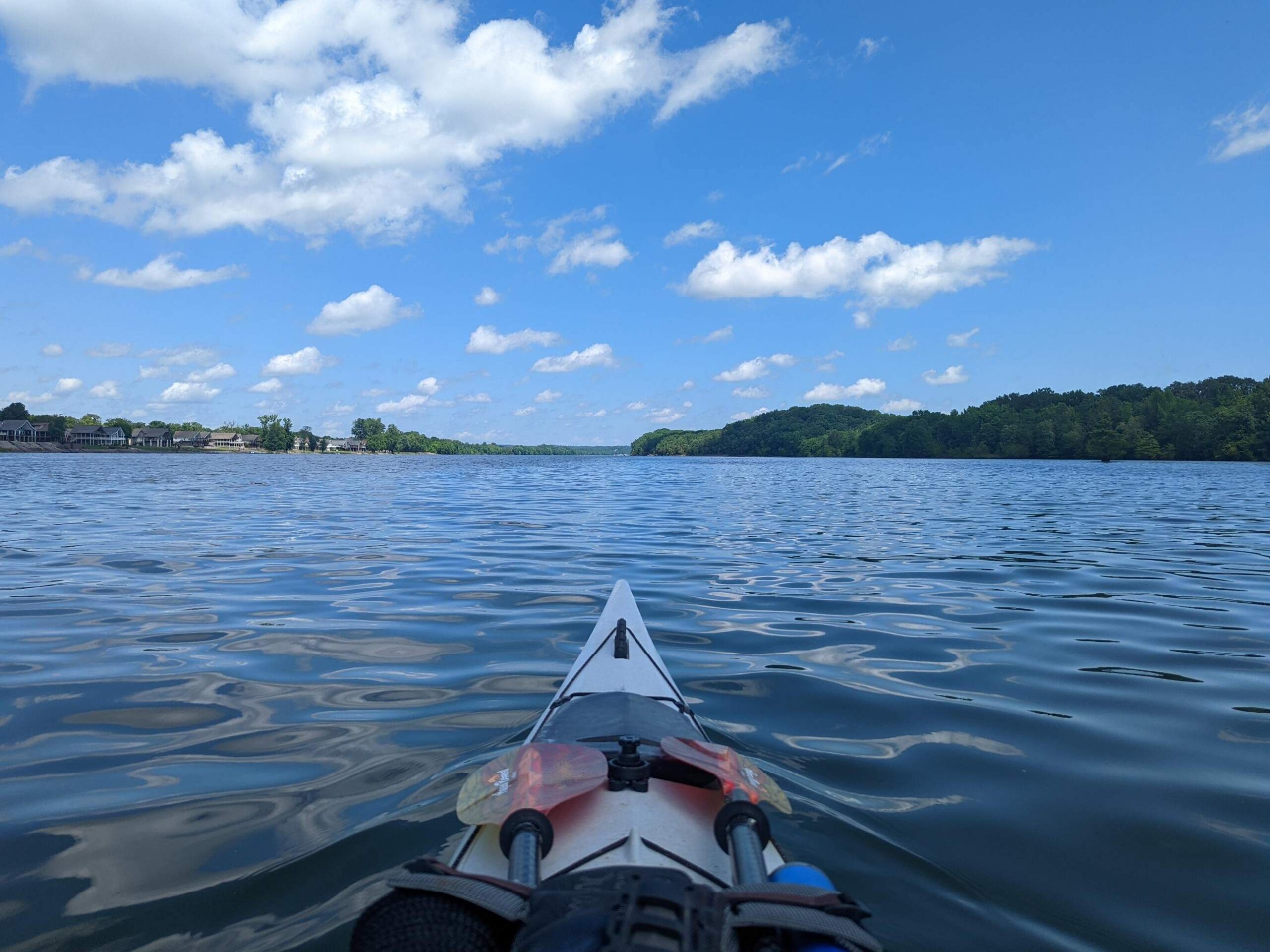
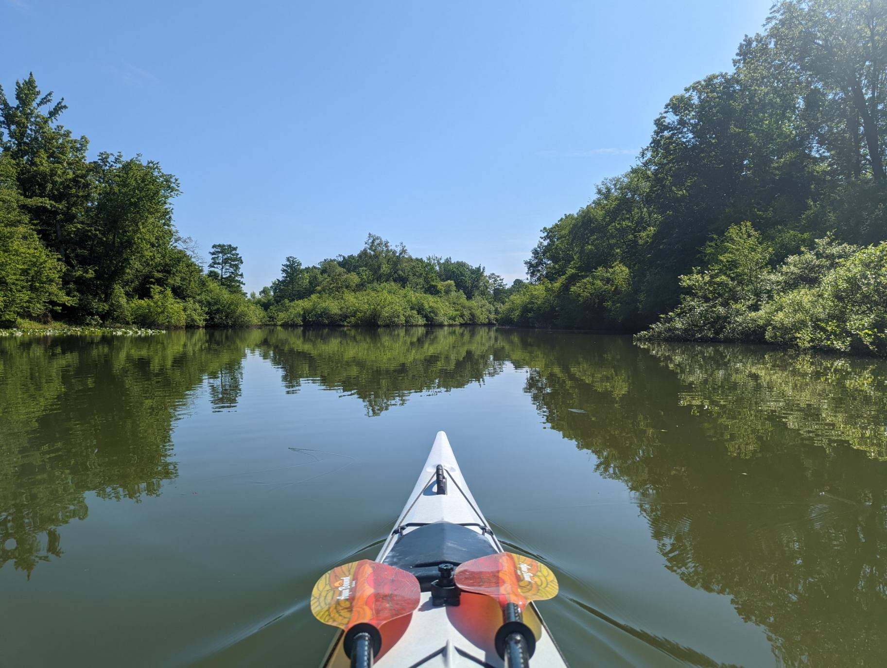
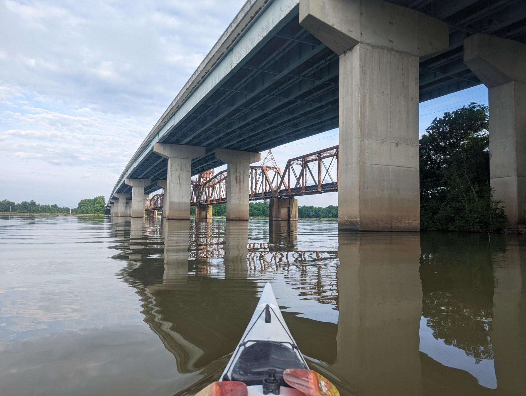
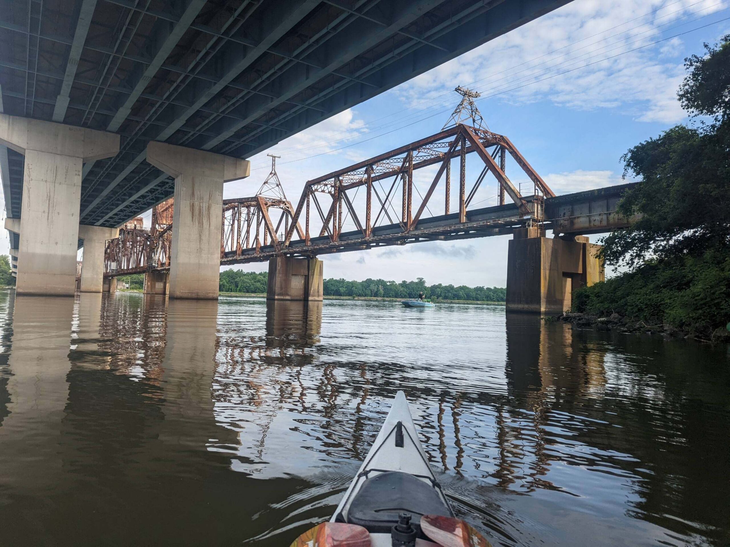
Starting mile - 620 Ending mile - 601 Launch time - 9:30 a.m. End time - 4:30 p.m. After a late night (10 p.m.) of getting camp squared away & working through footage, I woke up at 6:15 a.m. to start the day. Thunder rumbled again and foreshadowed the 15 mph winds with 25 mph gusts that were forecasted. As we packed, lightning cracked & heavy rain soon followed. As smooth & calm as our first day started, the start to Day 2 was the polar opposite. But it was a moment to treasure in its own way & made me feel at ease for future stormy days, knowing I had already been through it. Hunkering down under some shelter until the lightning passed, we finally headed out on the water at 9:30 a.m. Despite the morning's initial intensity, the weather cleared up within the first half hour of paddling and we saw calm waters for most of the day, sans an occasional mile with wind. Soreness lingered for the first few miles, but my body warmed up quickly. We made great time, averaging 4 mph again for the day. Wanting to get a couple more miles than scheduled in to take advantage of clear skies & our speed and to buffer us from lost progress we'd surely suffer during impending bad weather later in the week, I reached out to our first river angel, Dee Prickett. She clued us in on a local spot to camp that was a bit further downriver, just off the Little Tennessee, Tellico Day Use Area, which we were given permission to use for our trip. She even met us at the site! Though we spent less time on the water today than yesterday, a good chunk of my extra time was spent cleaning out my boat & drying out my gear. While I worked, local of Lenoir City, Brian Martin, approached me and we shared a delightful conversation about the RiverLine, my trip, and his recreational experiences on the river. He asked for the chance to help in any way he could, offering to run to the store for supplies and even offering one of the fishing rigs he had with him that day for me to take along the journey. Dee's local knowledge and warmth was a huge boon to my day, as was Brian's friendliness, enthusiasm, and willingness to help. Both were prime examples to me of the RiverLine's potential to connect. If I get to stop somewhere like this each night, maybe I'll just keep paddling after Paducah.
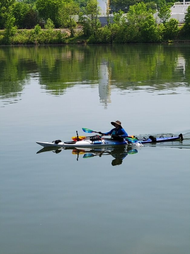
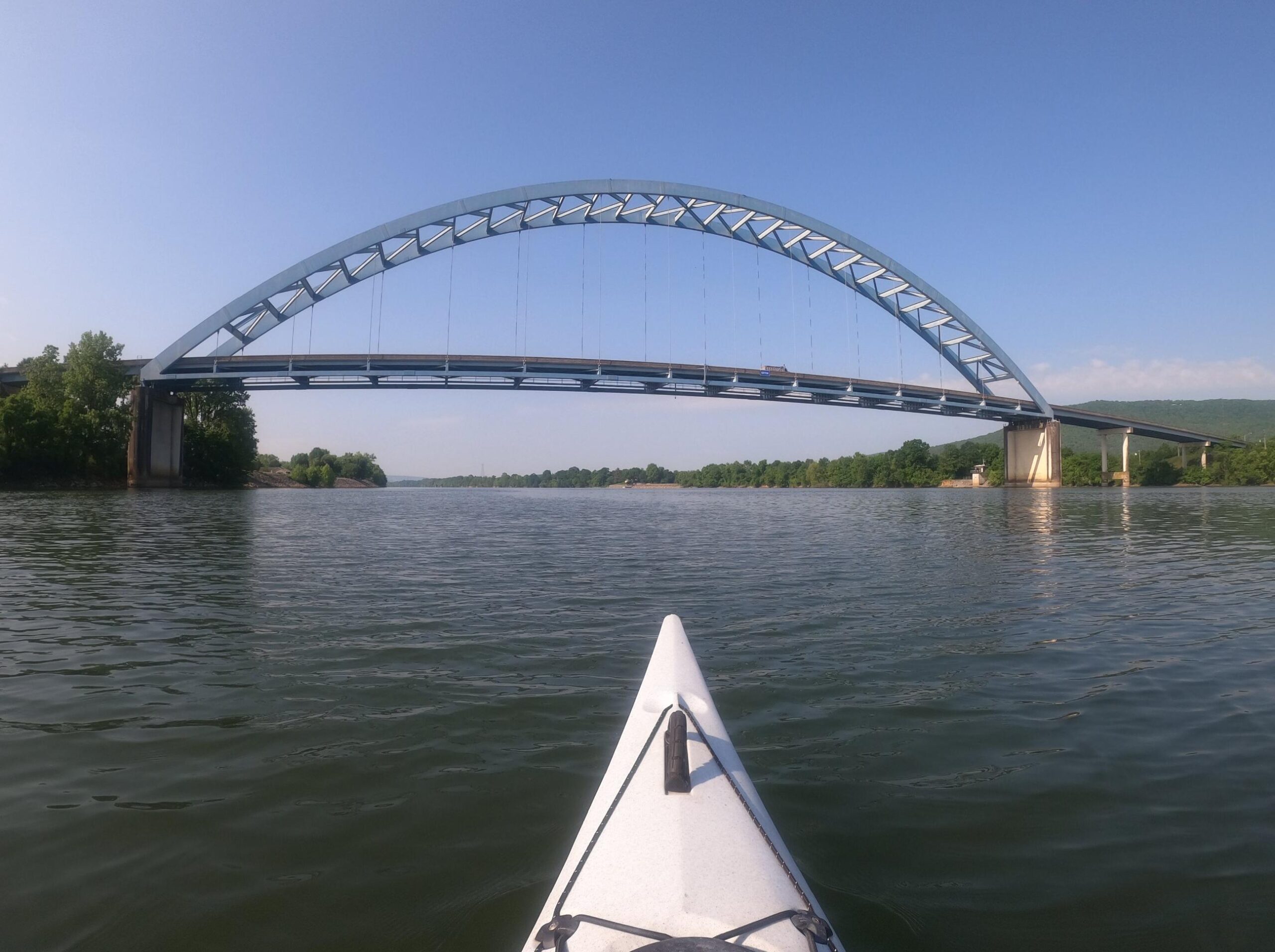
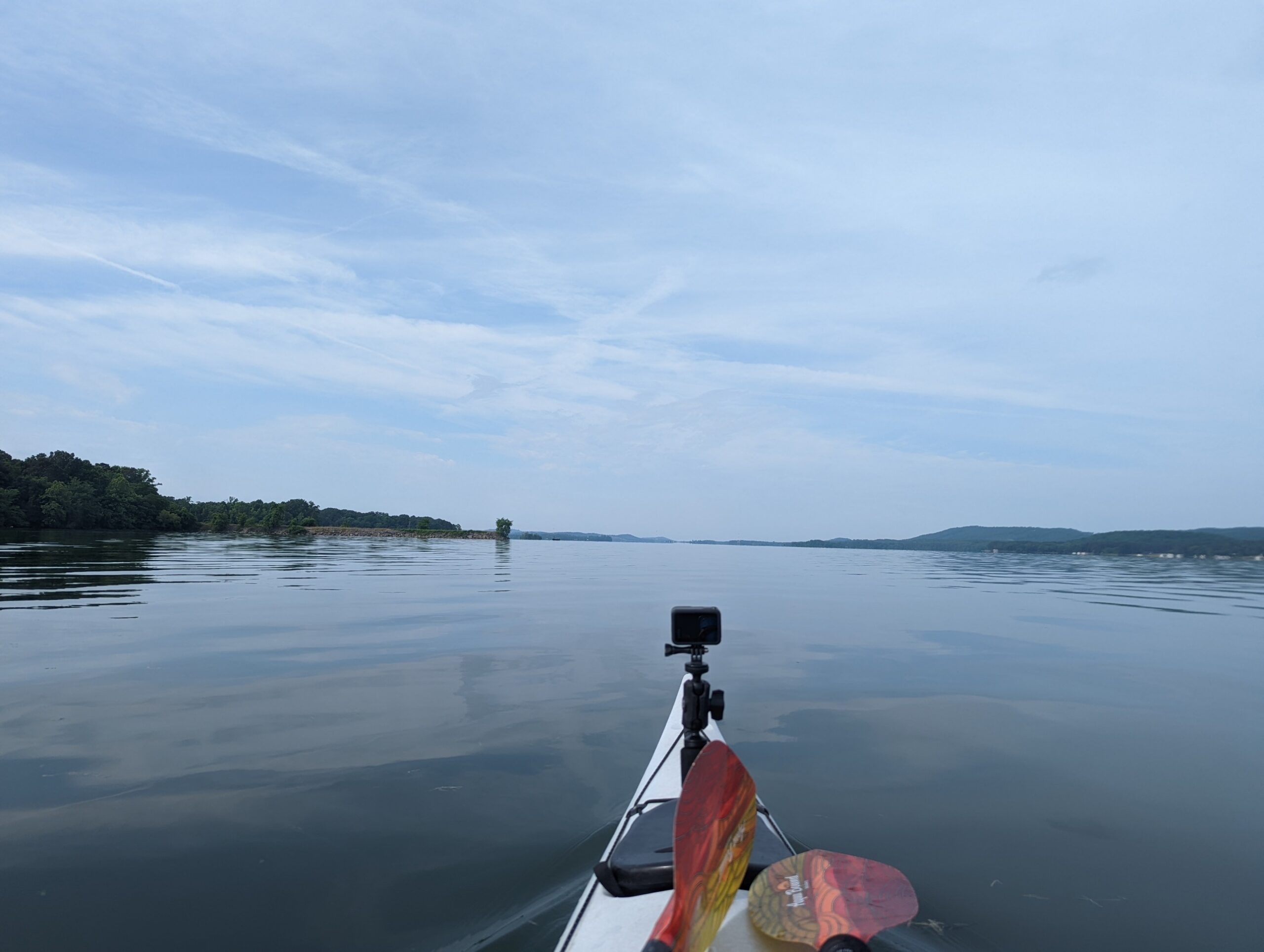
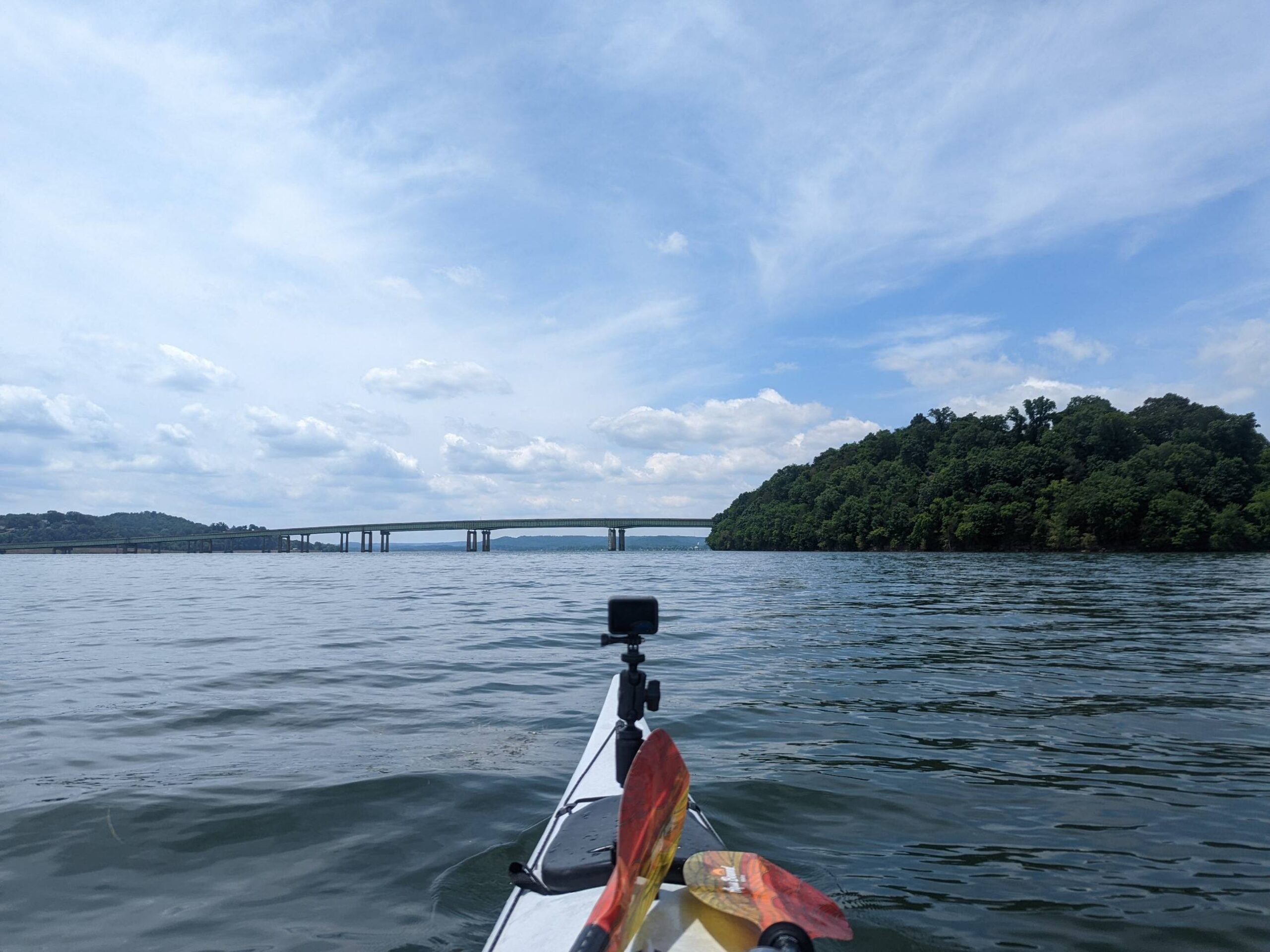
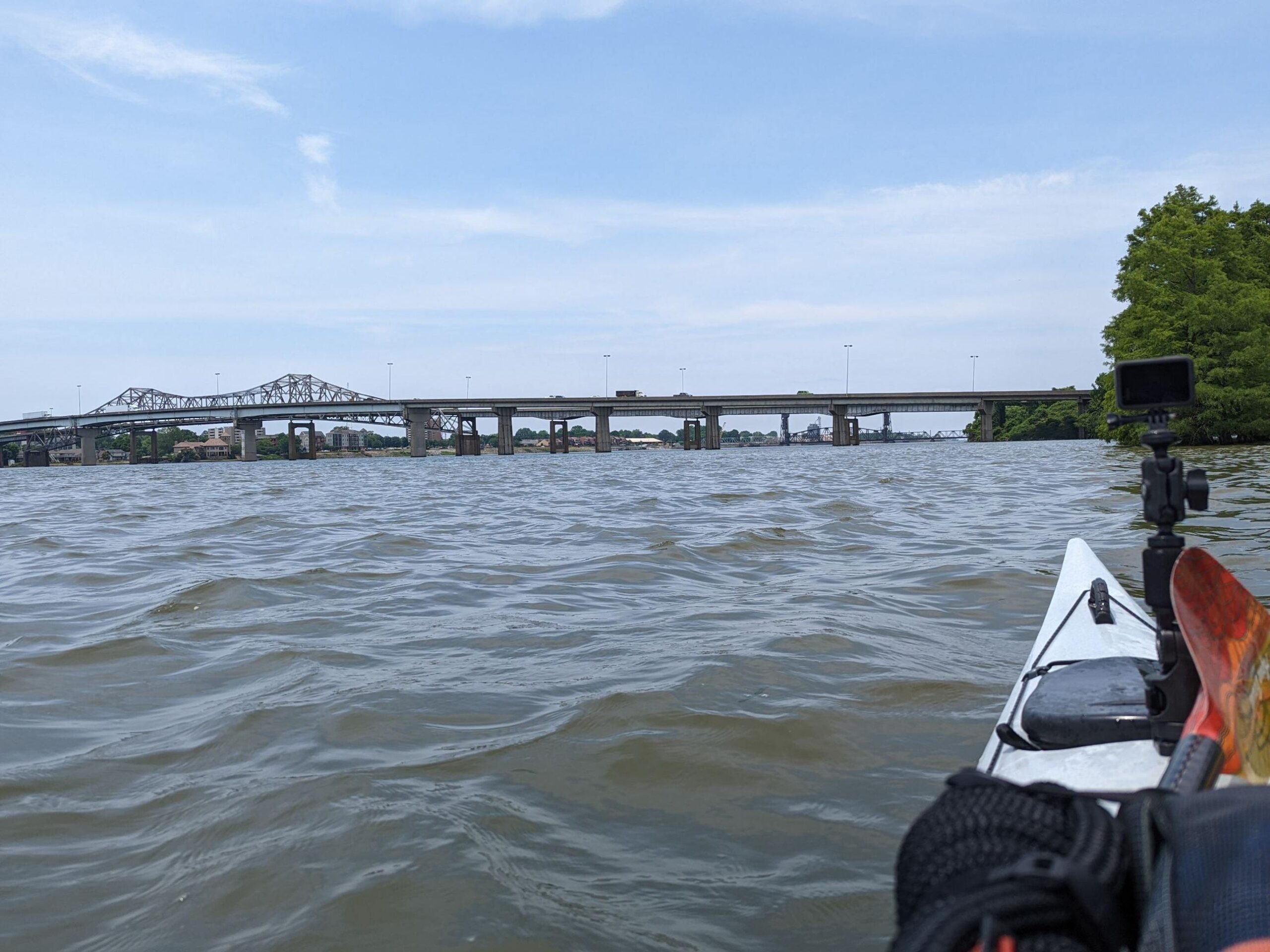
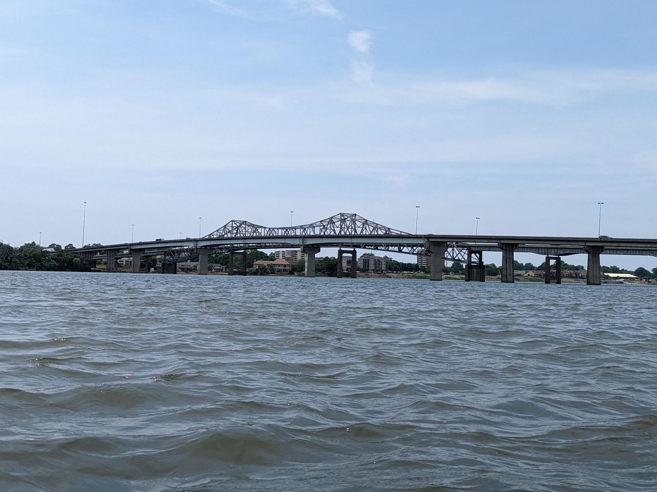
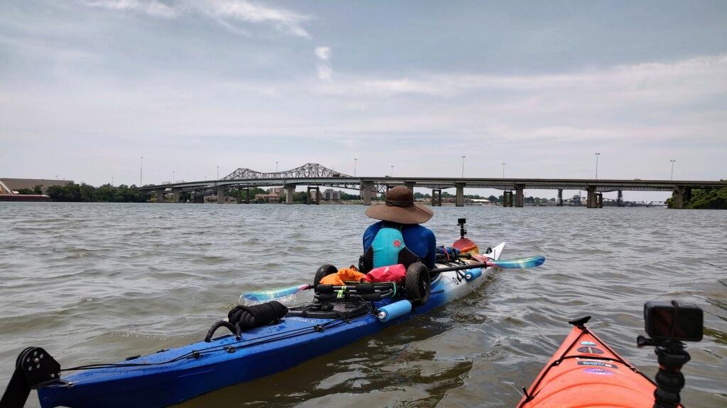
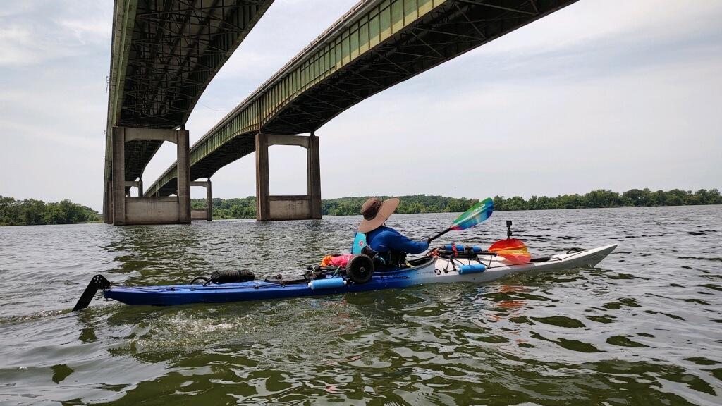
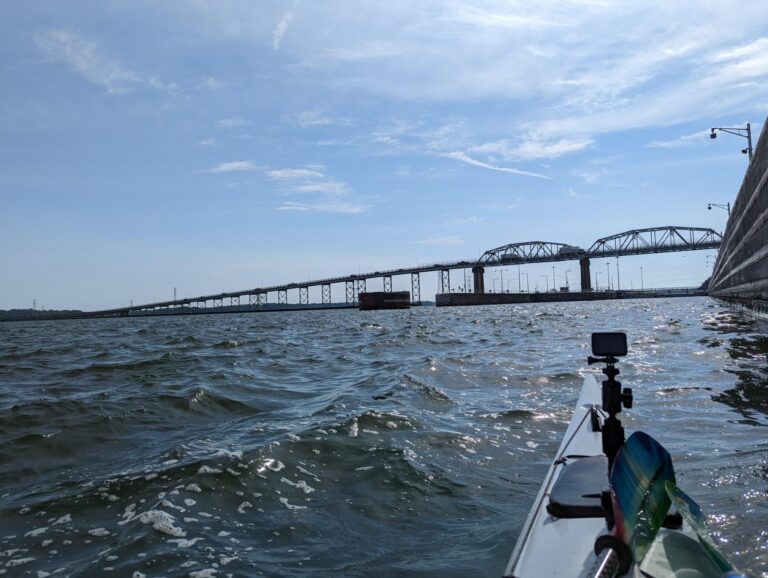
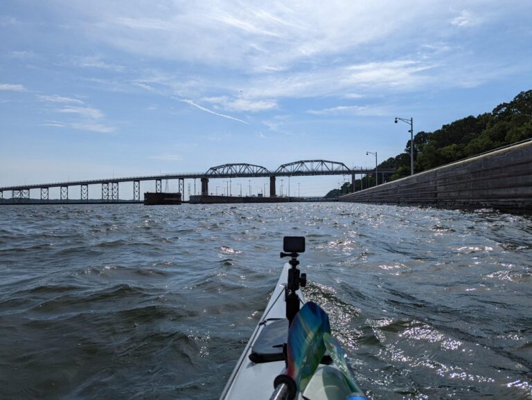
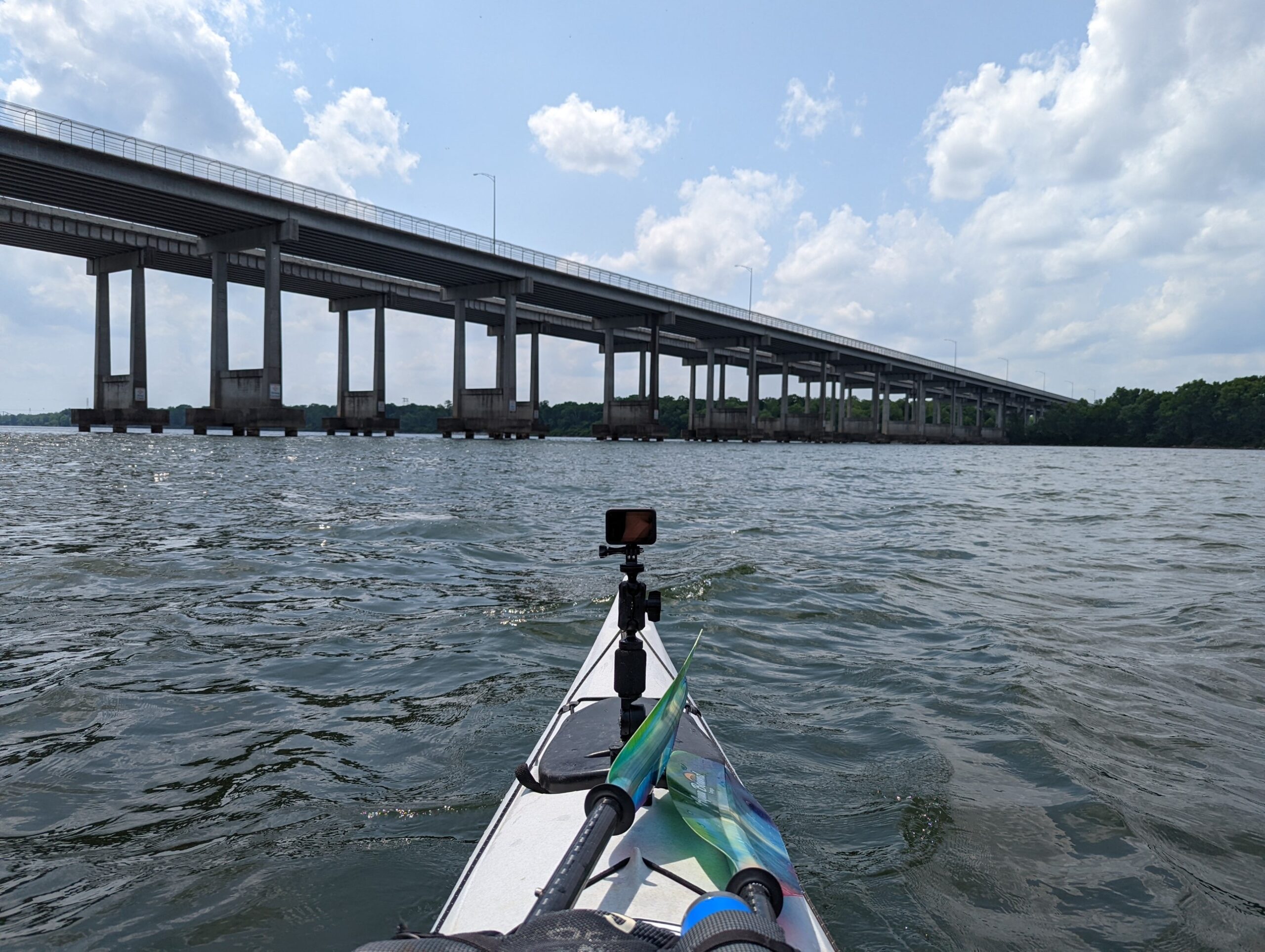
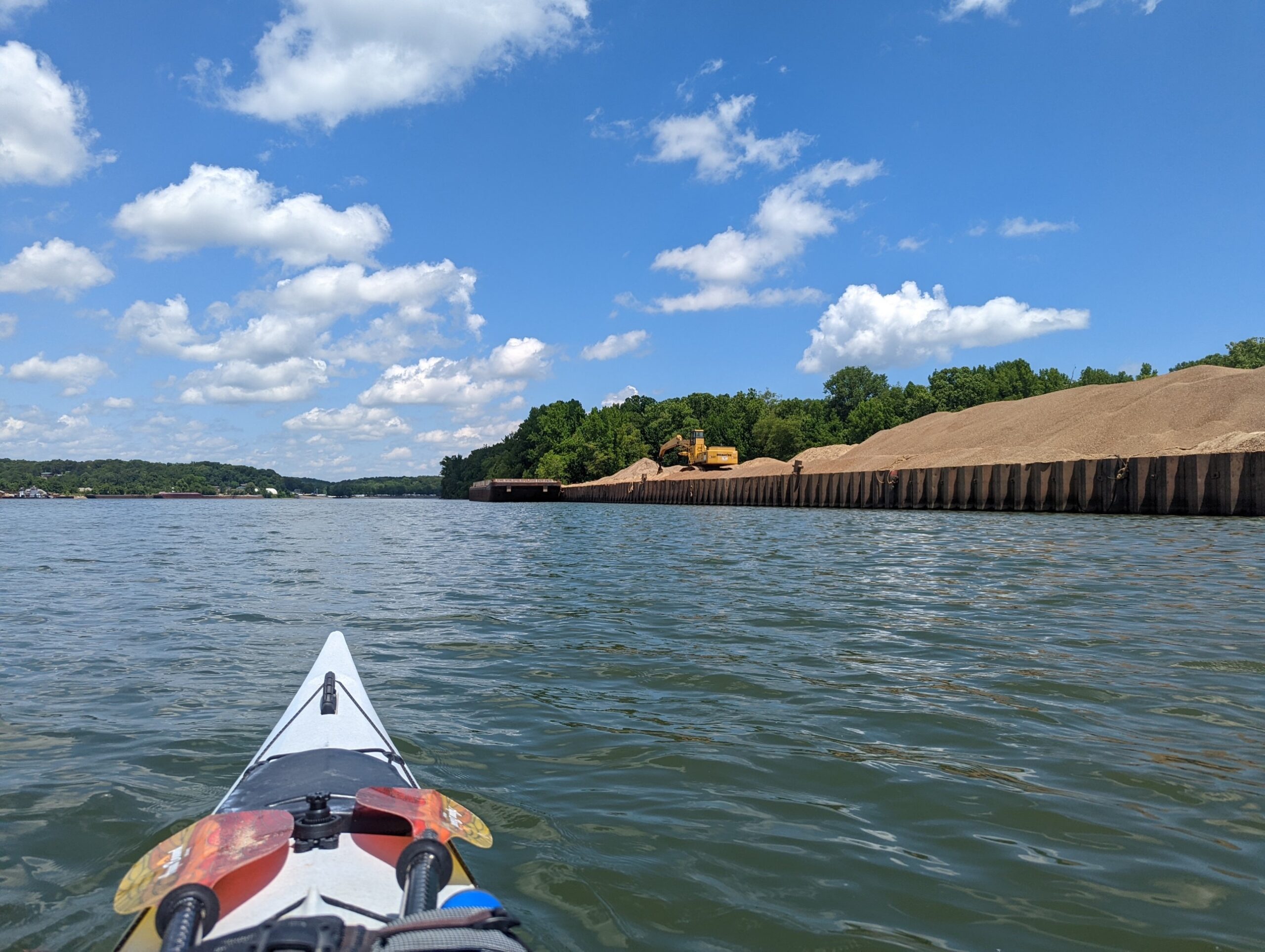
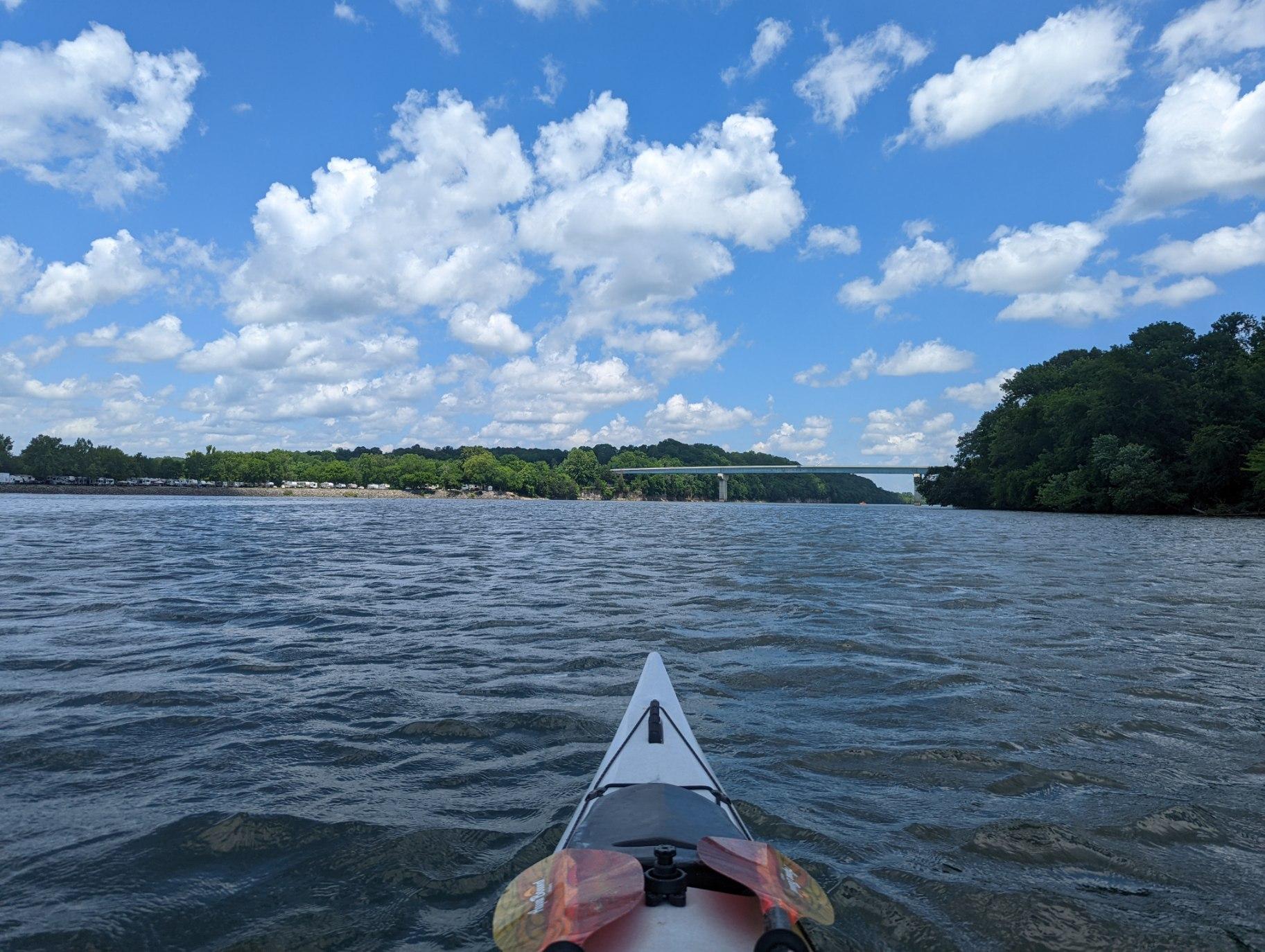
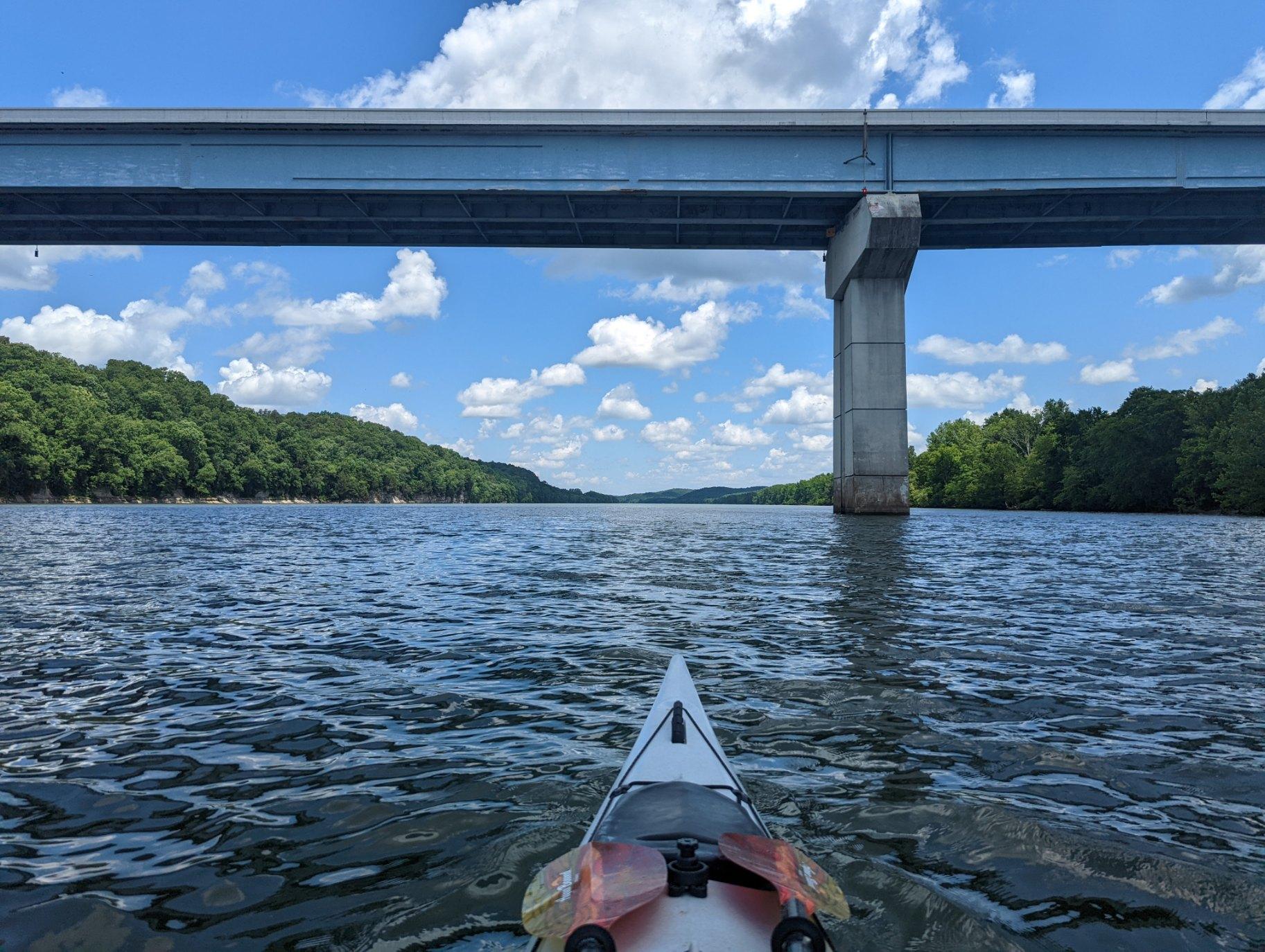
Headed into the town of Loudon, Tennessee.
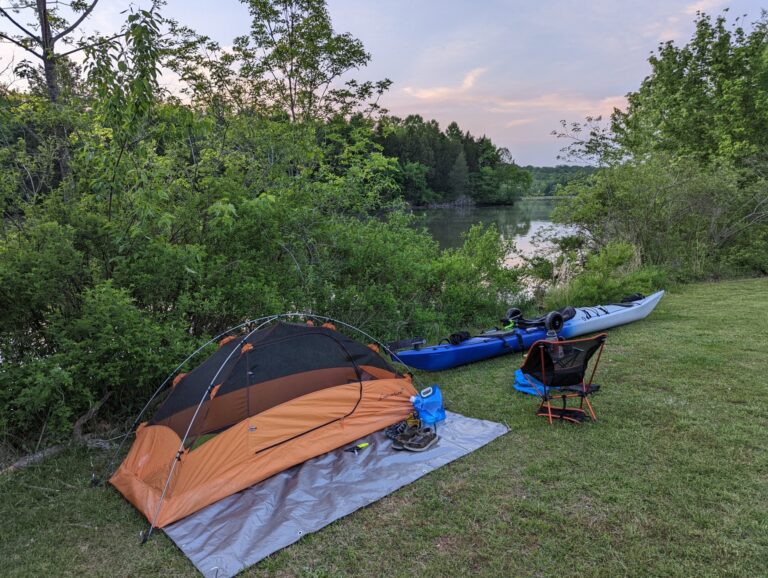
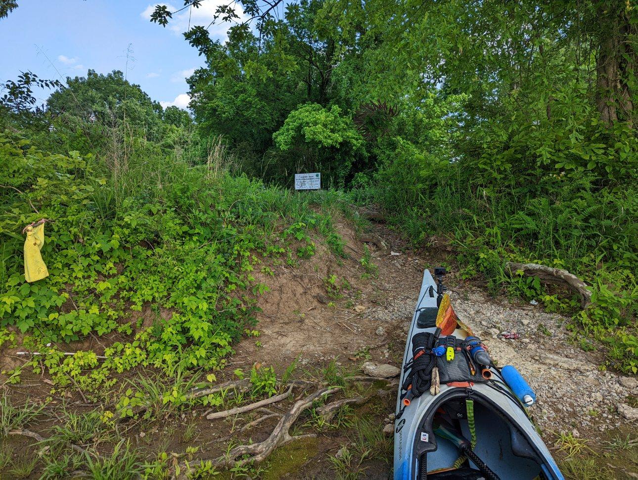
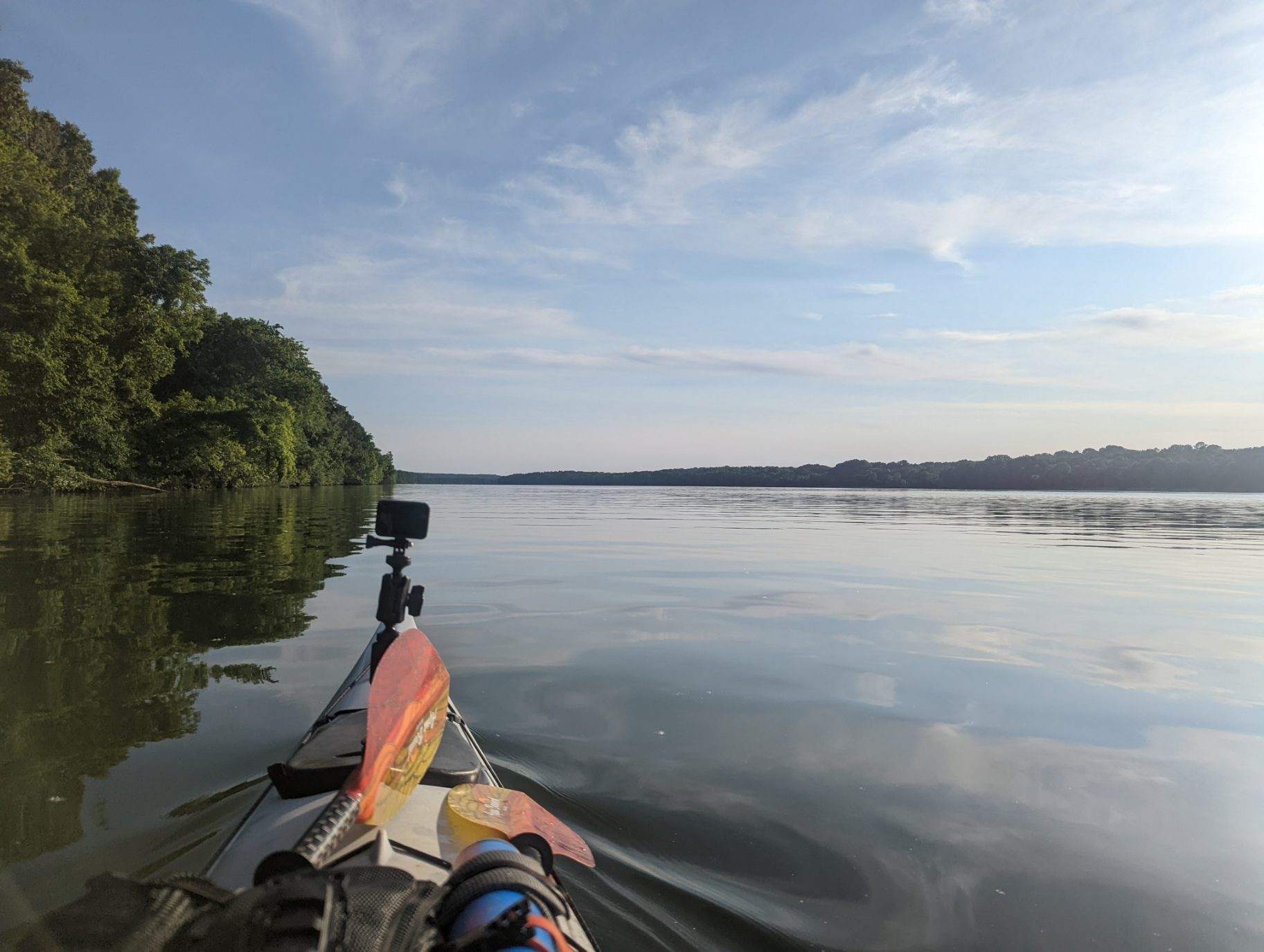
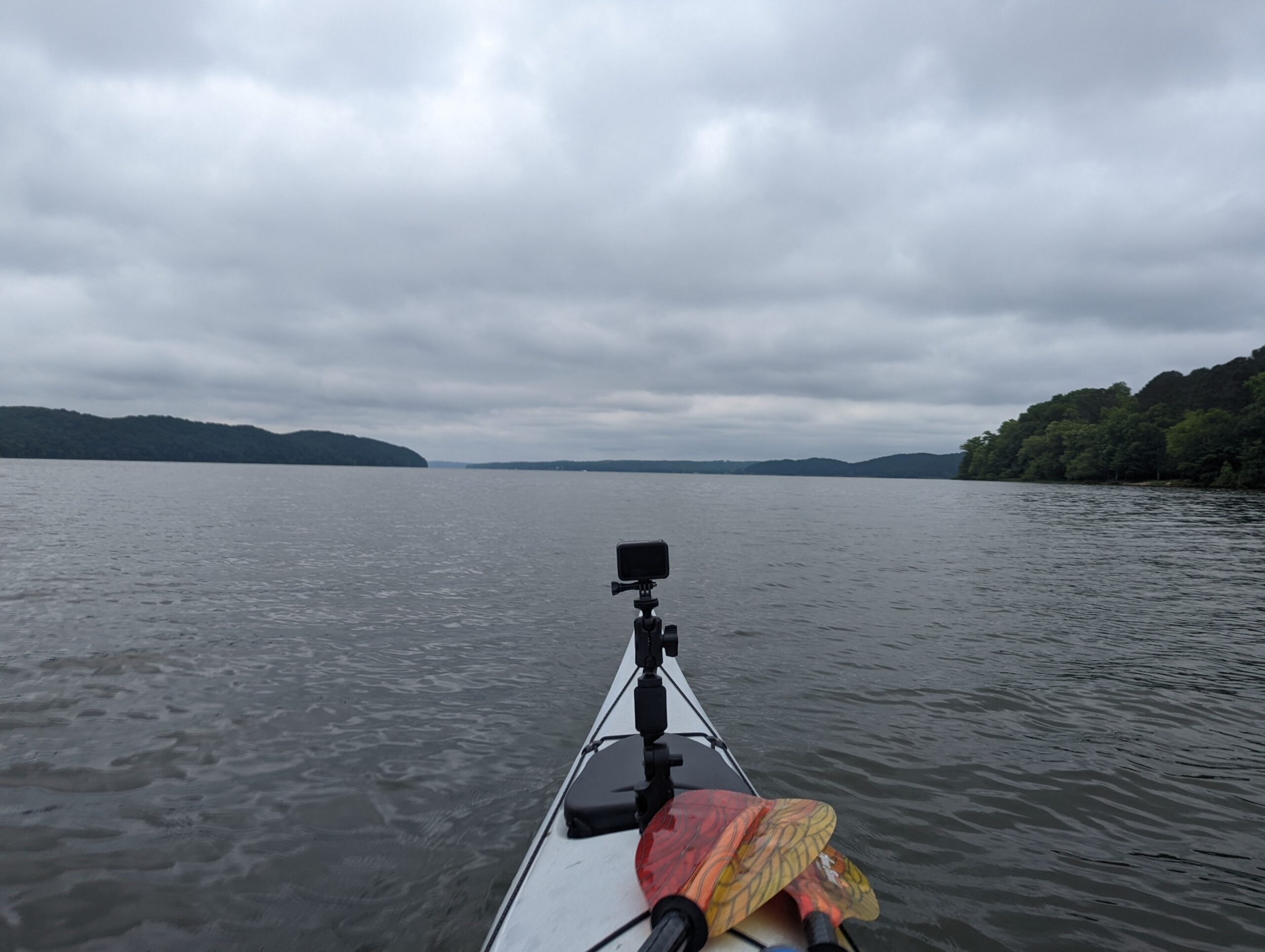
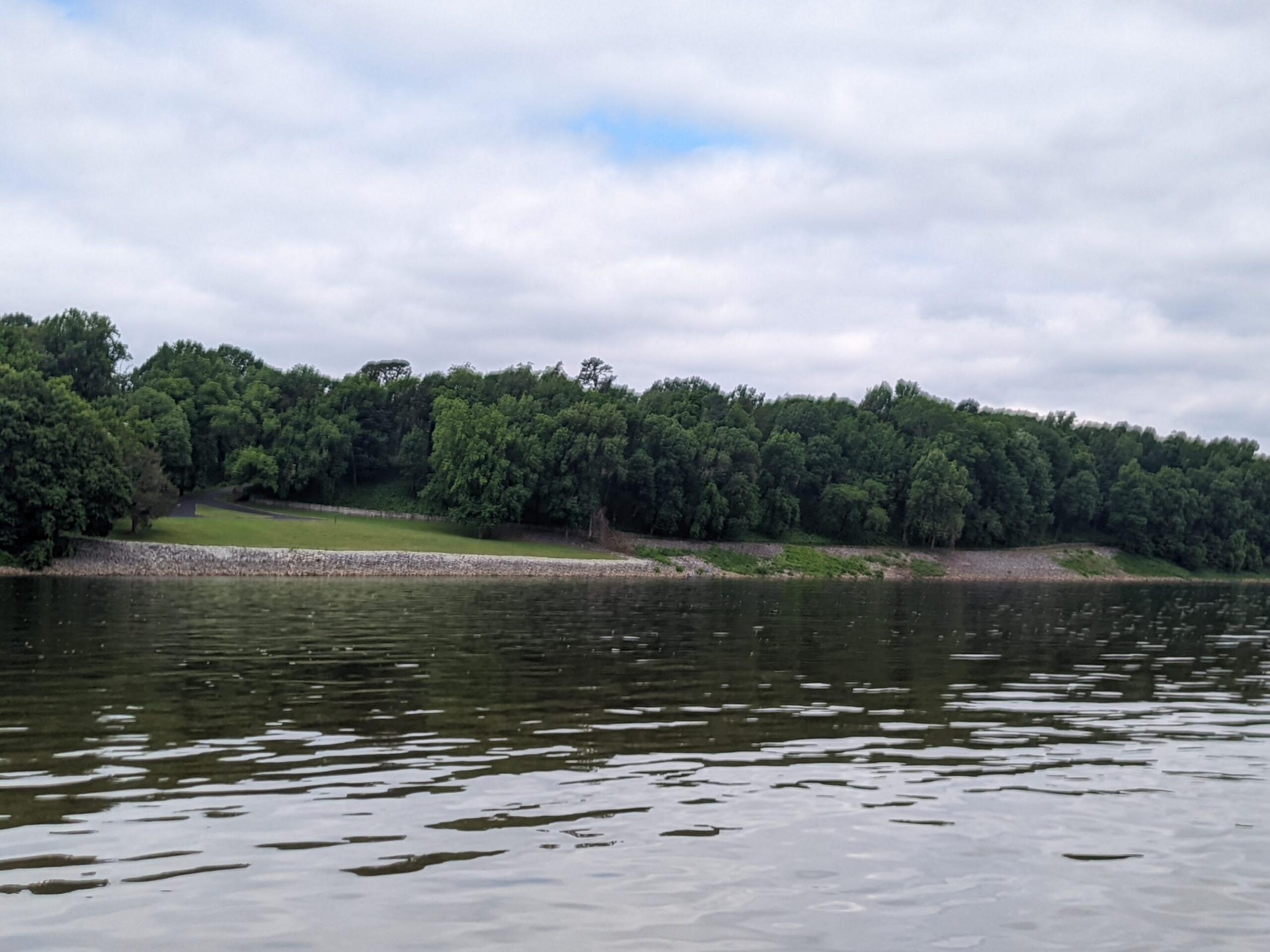
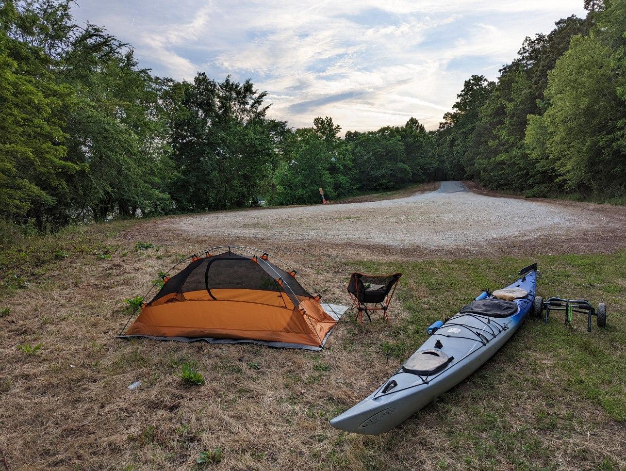
Campsite day no. 3, at Polecat Boat Ramp, in Loudon County, Tennessee.
TJ's Travel Journal -- Day 7
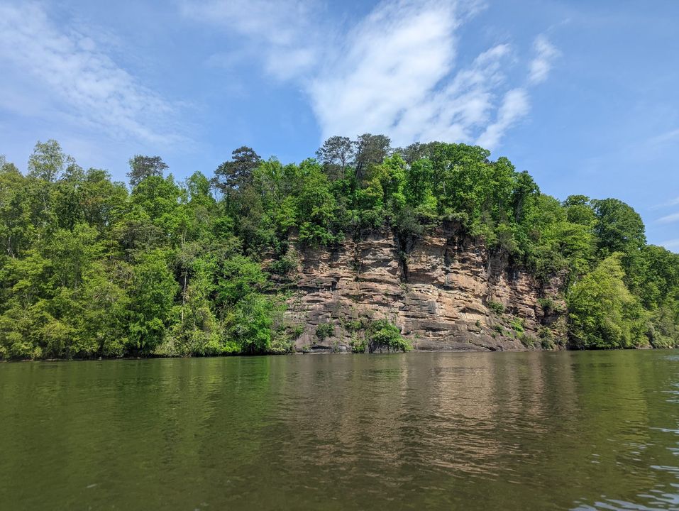
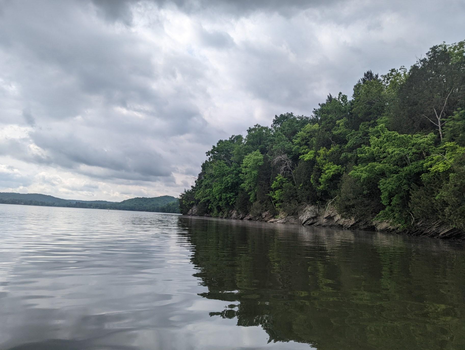
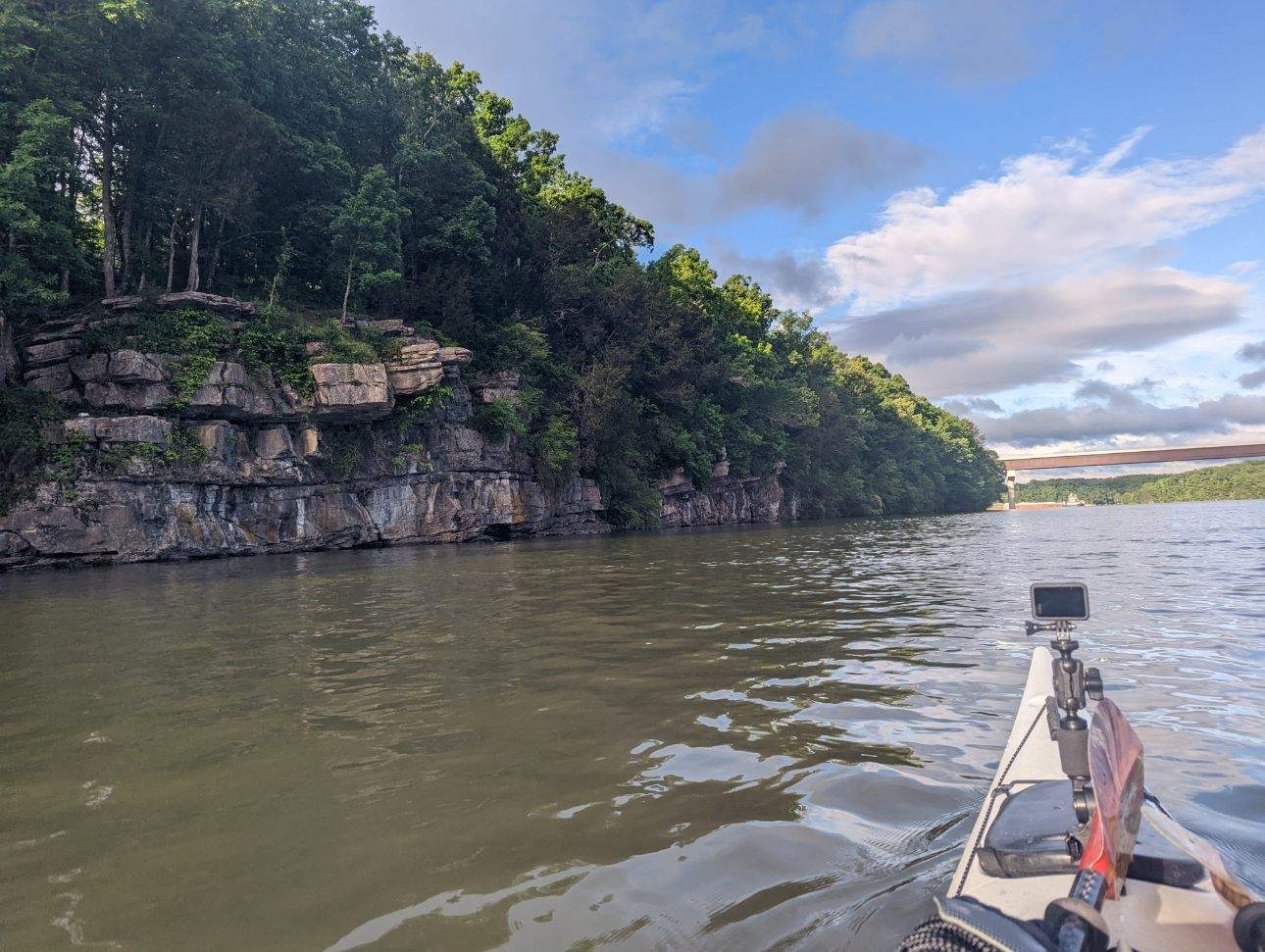
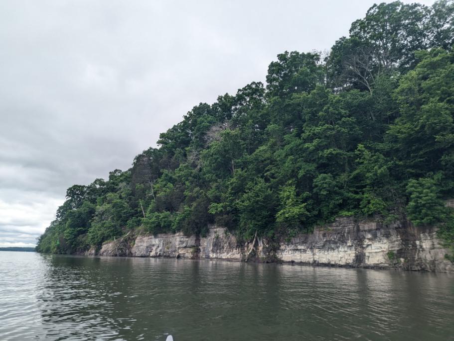
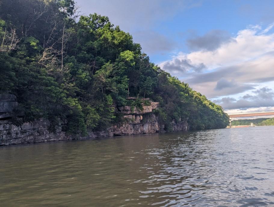
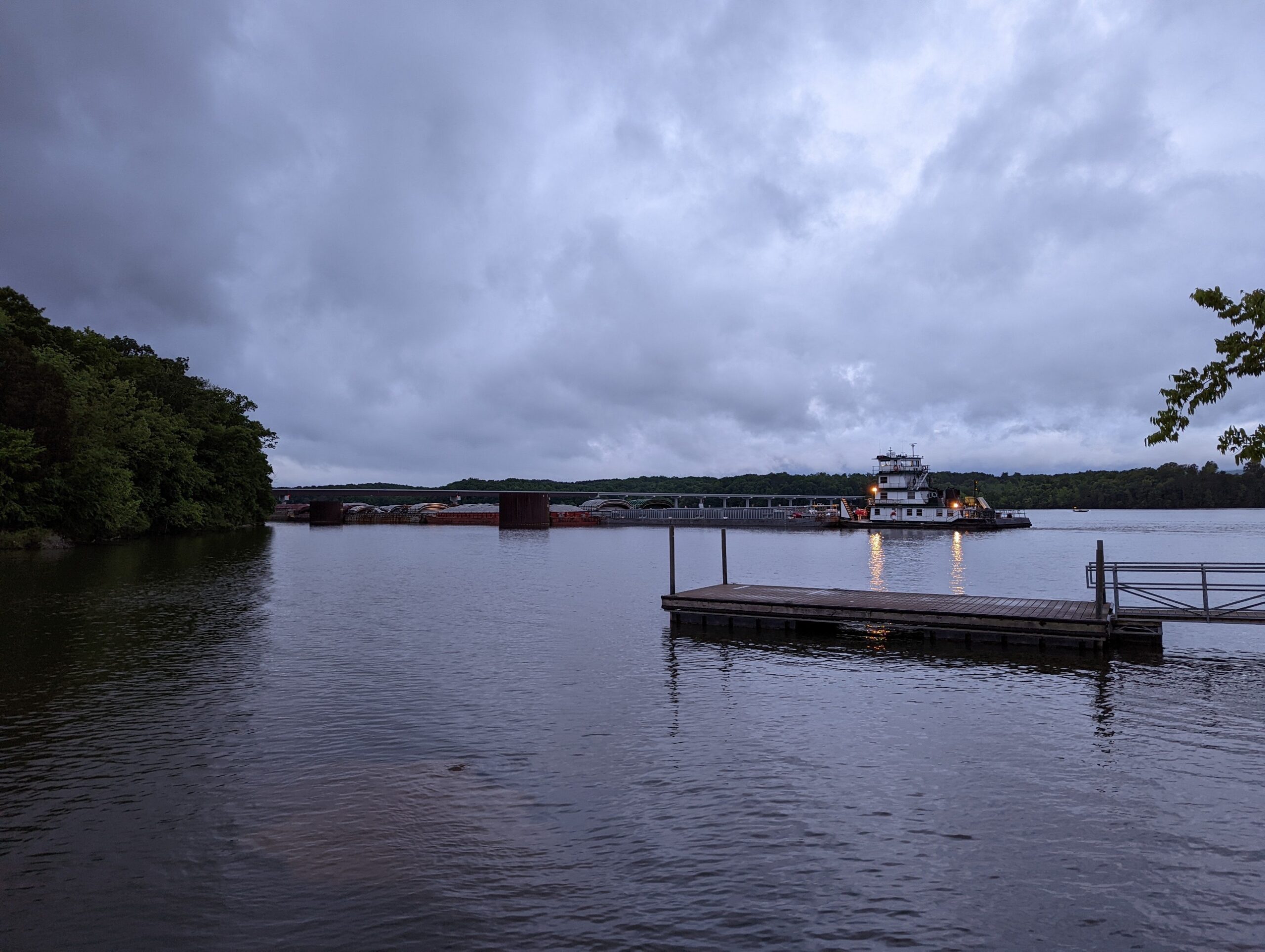
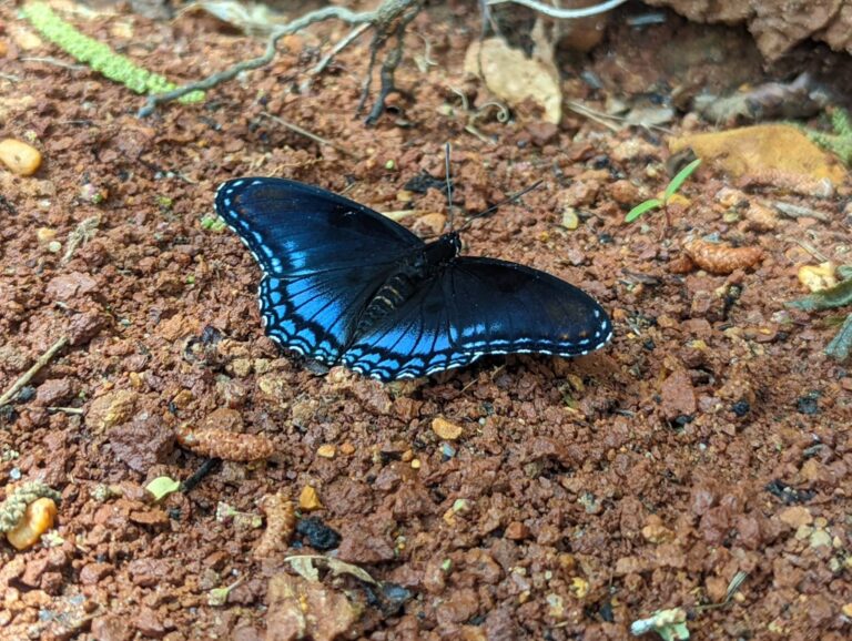
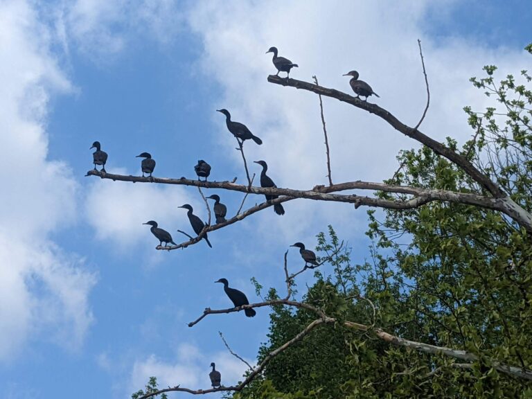
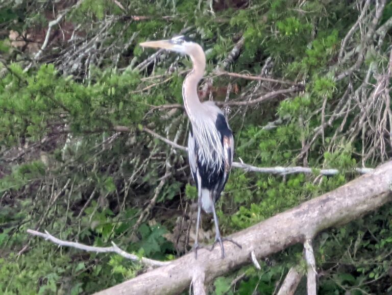
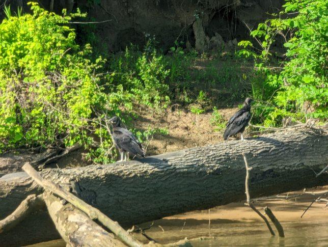
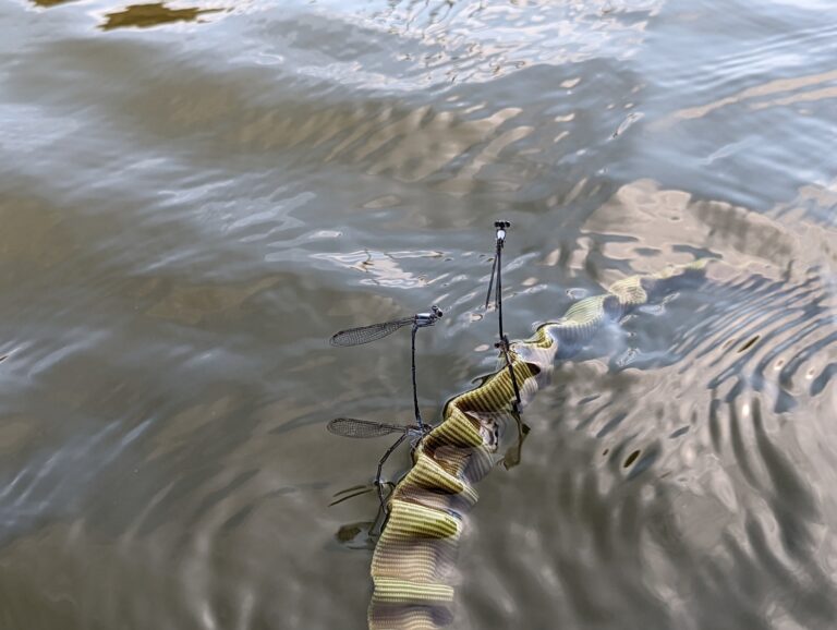
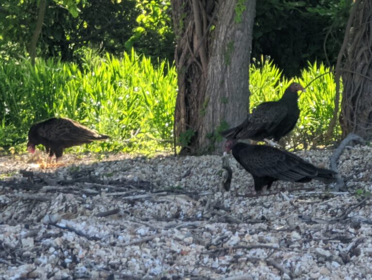
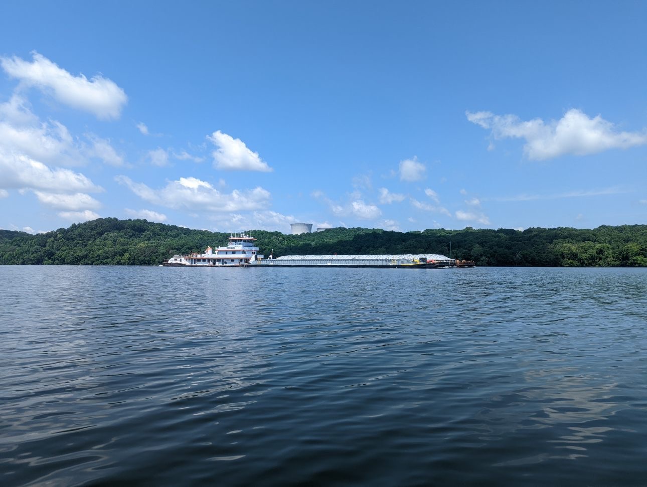
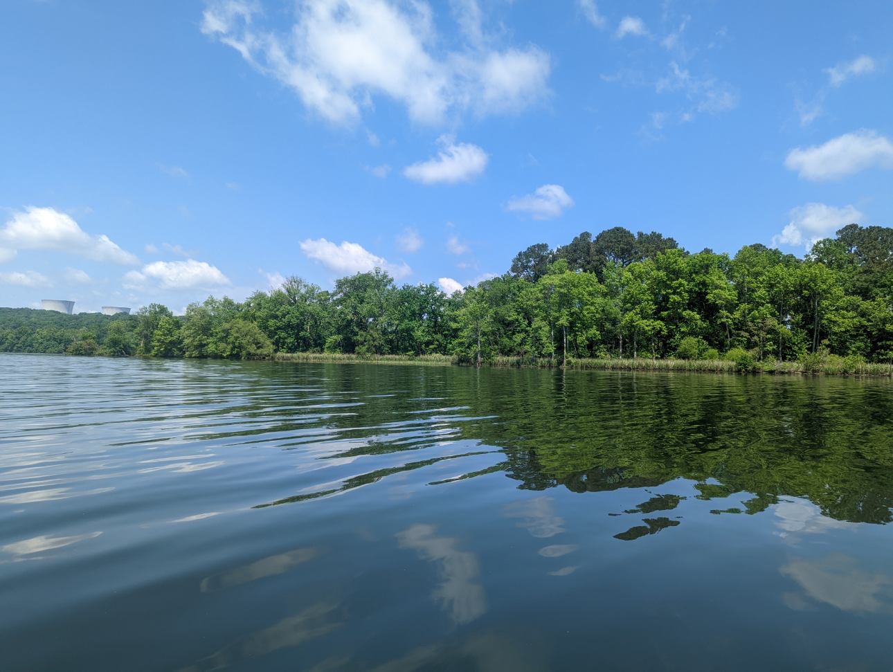
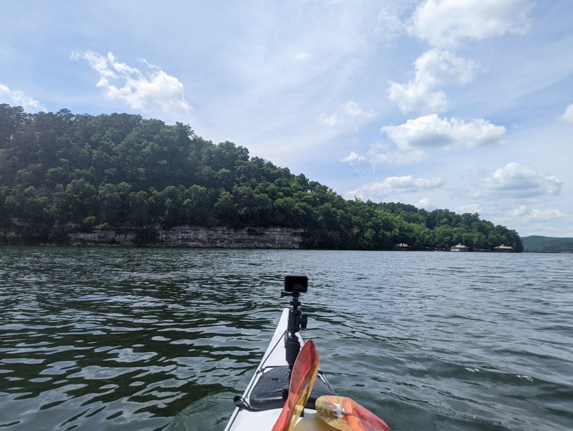
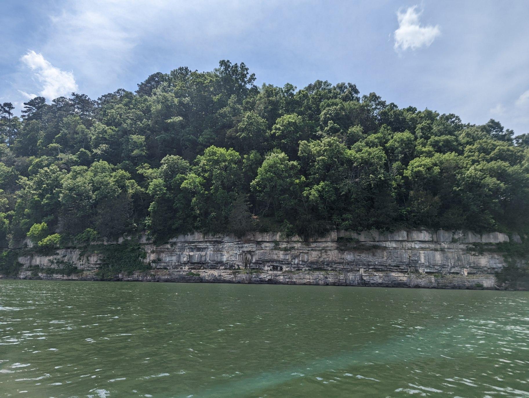
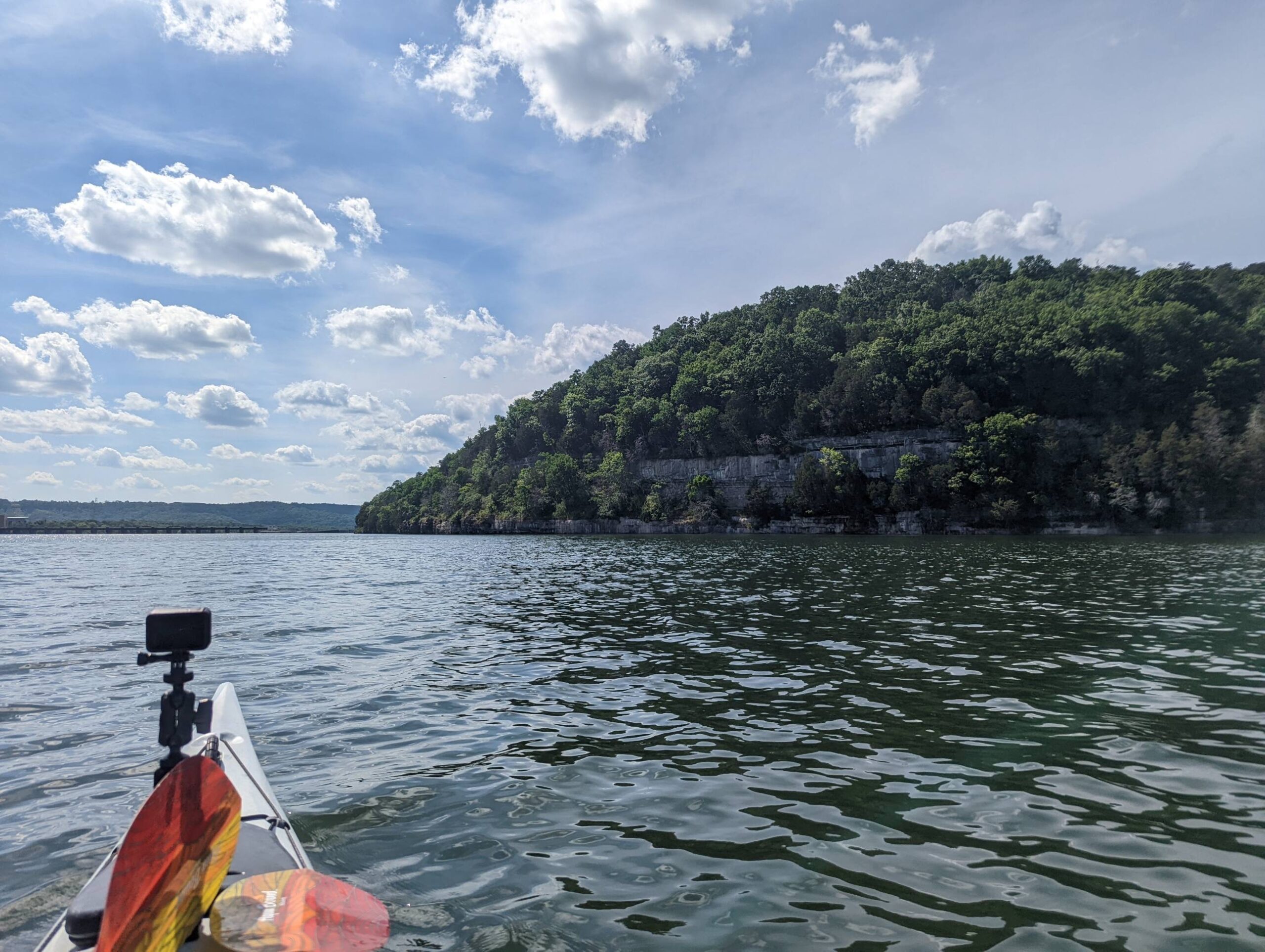
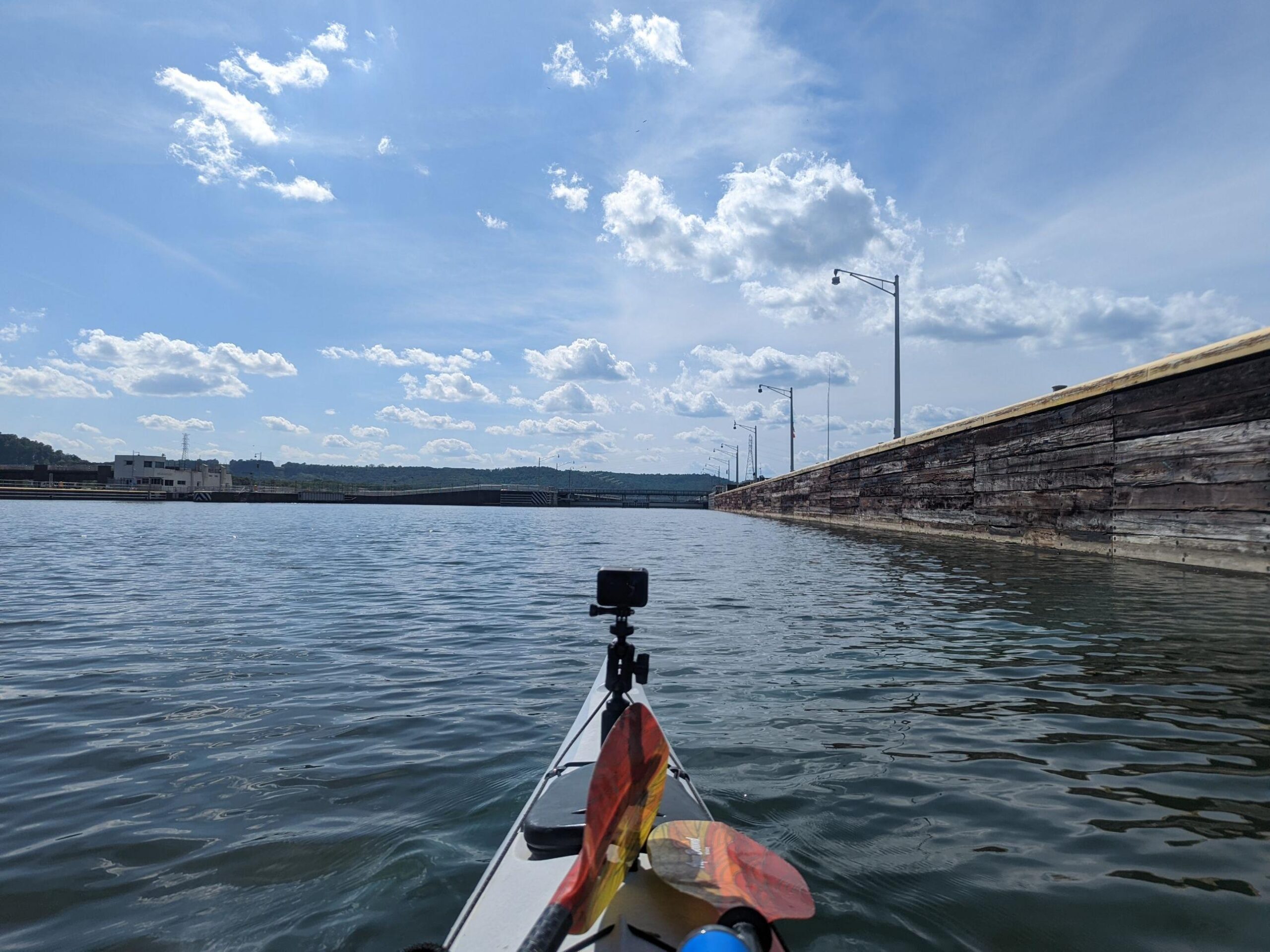
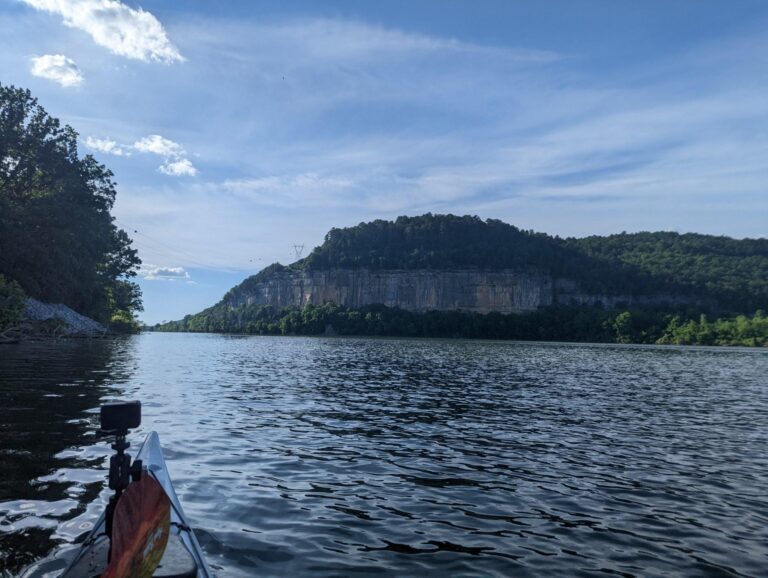
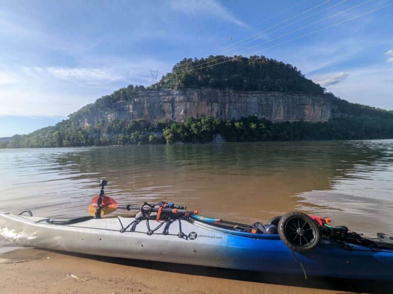
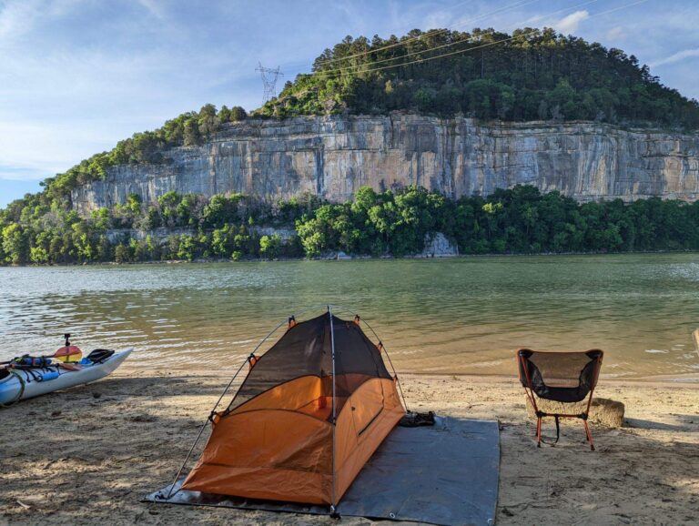
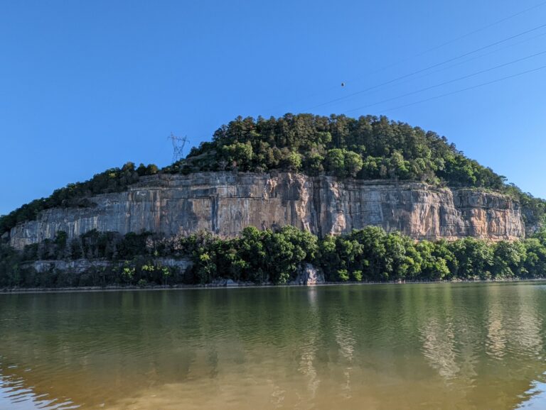
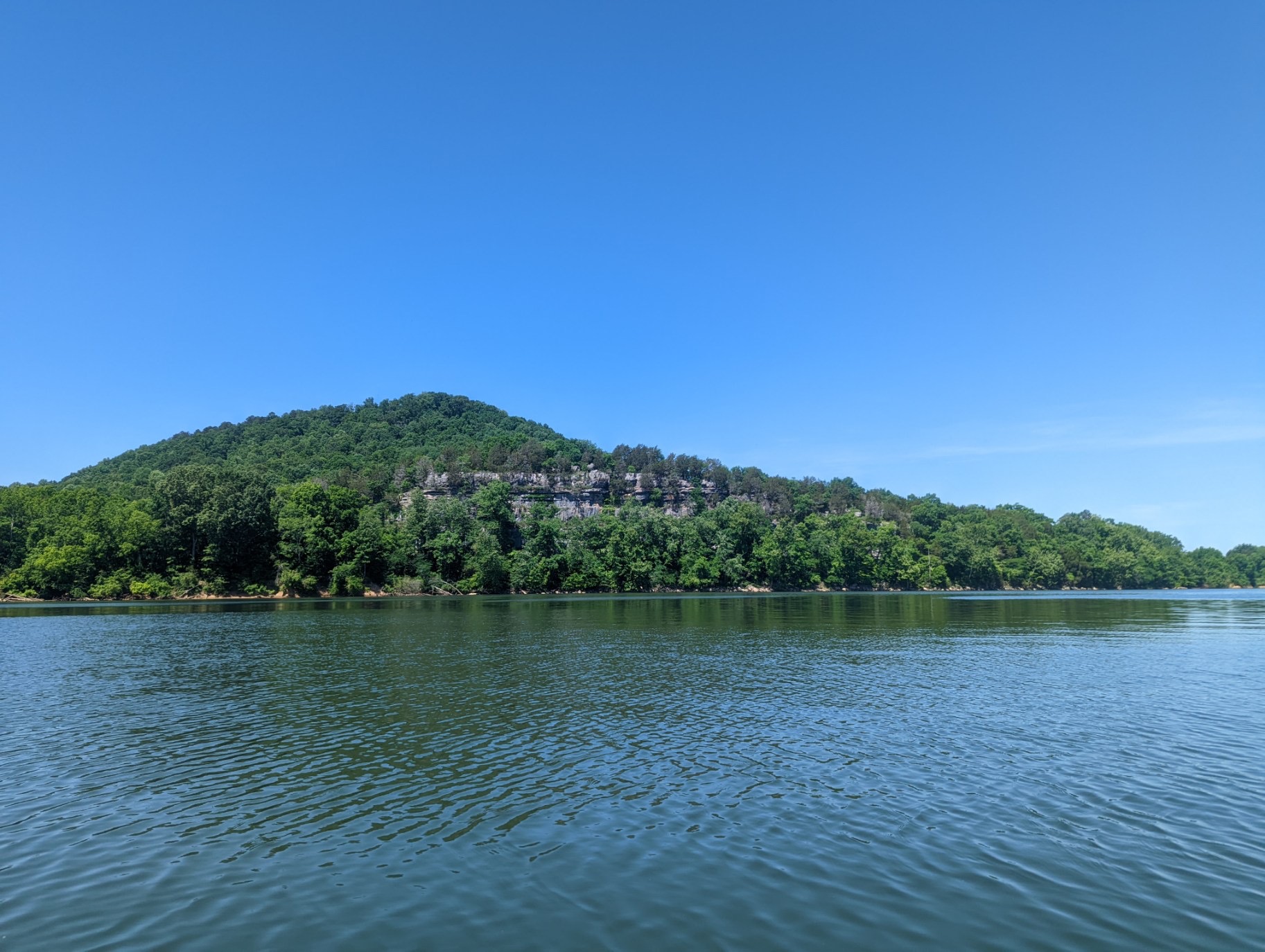
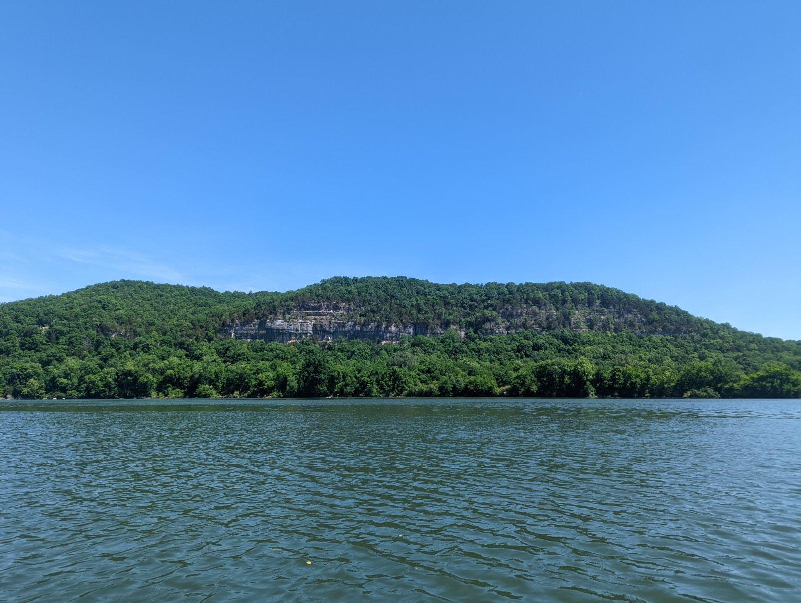
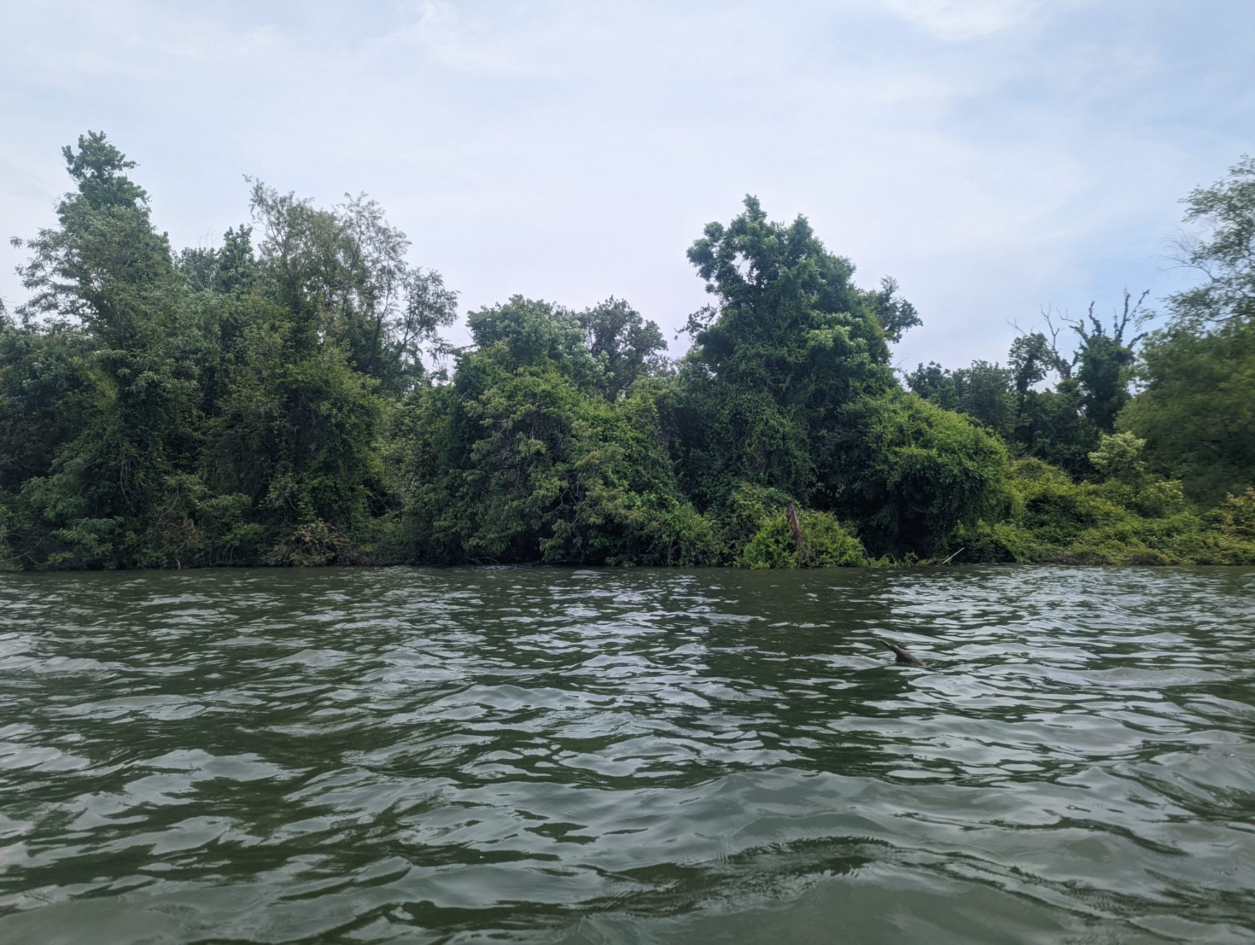
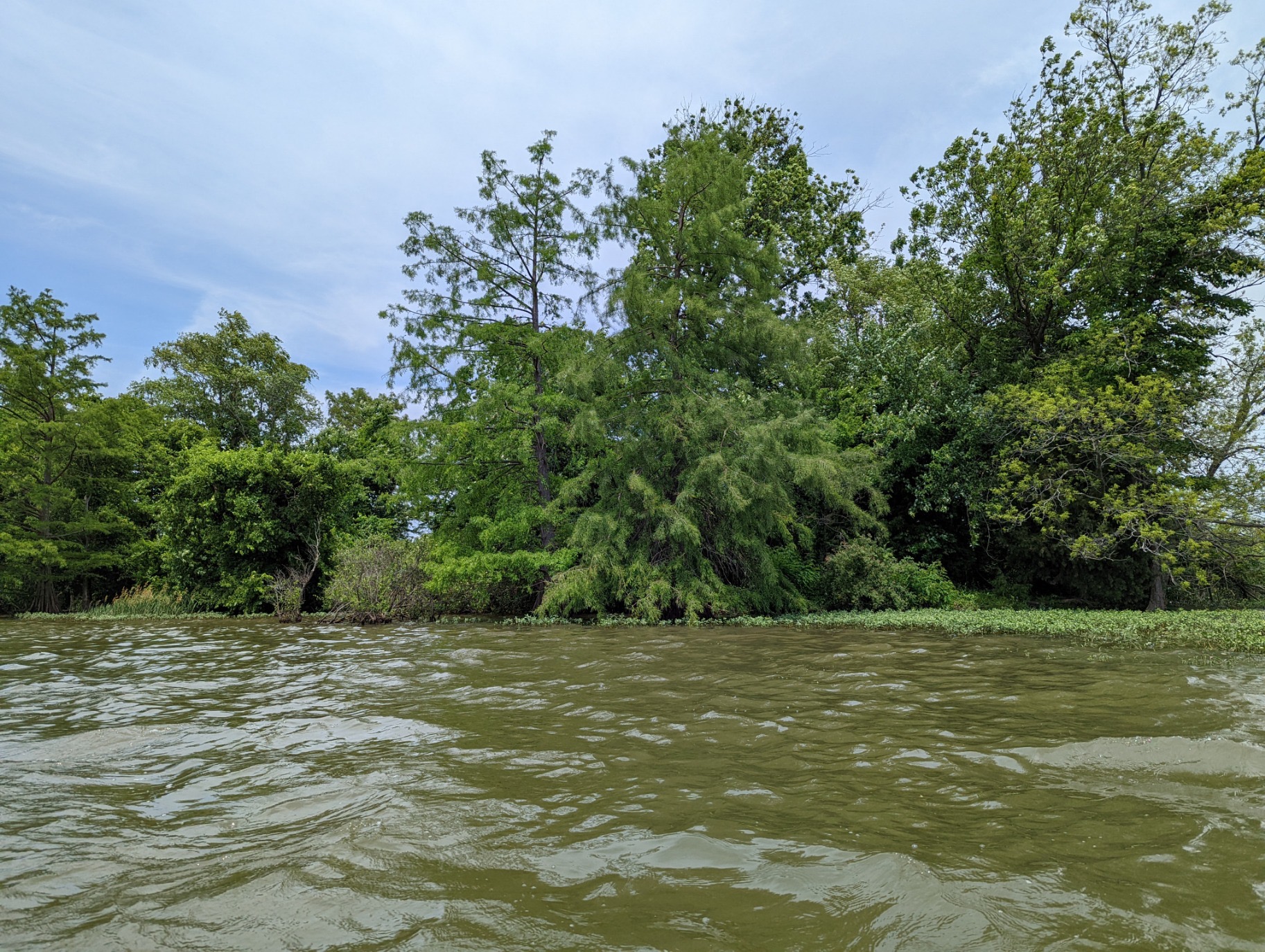
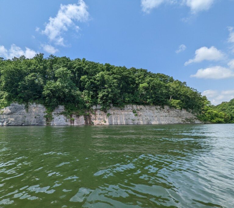
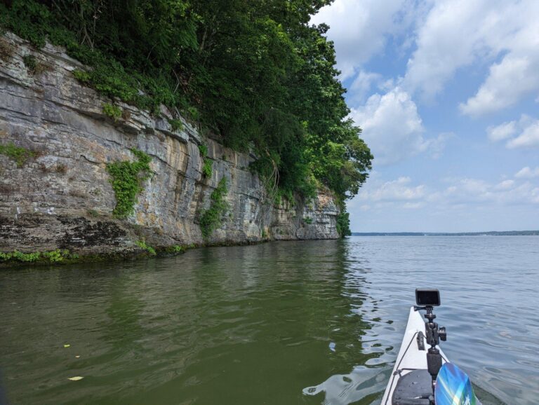
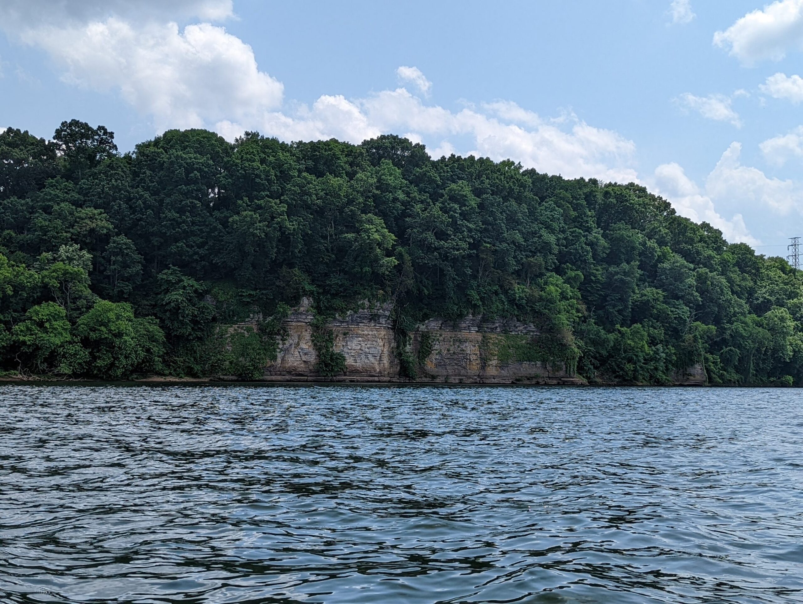
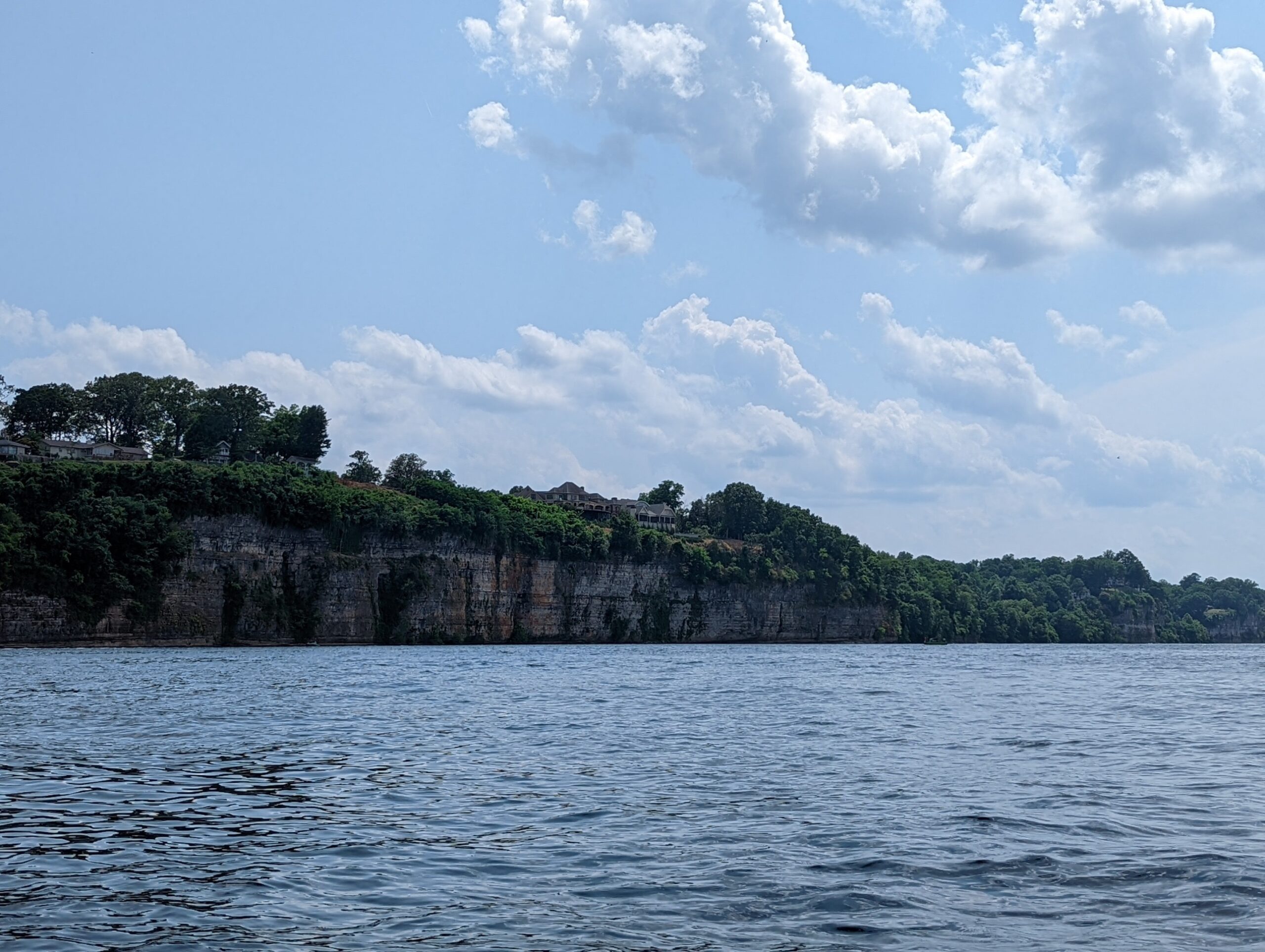
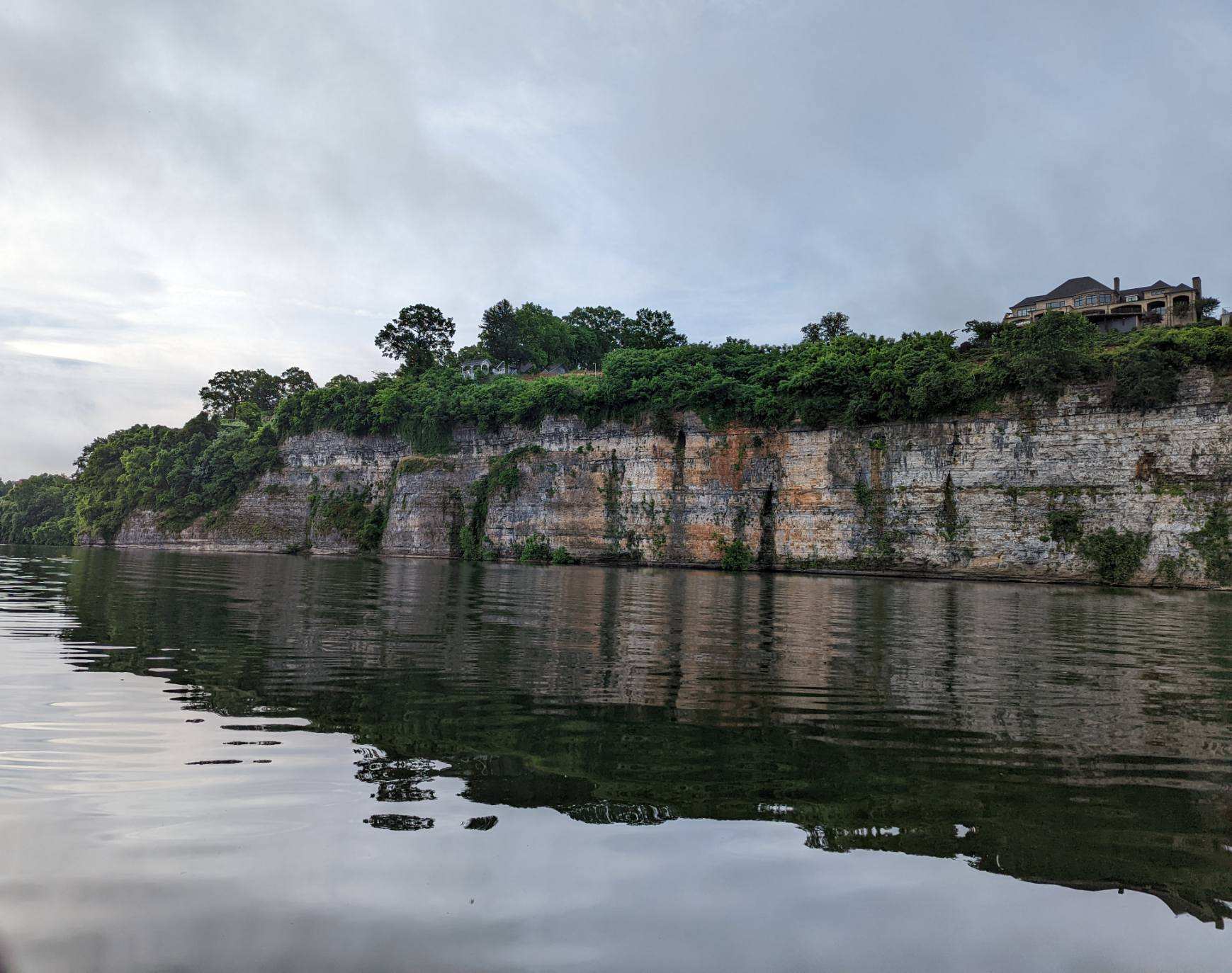
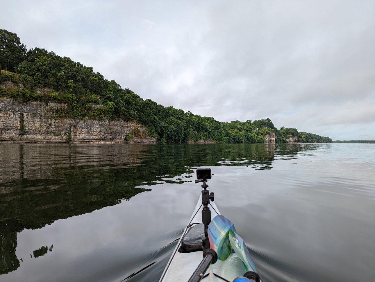
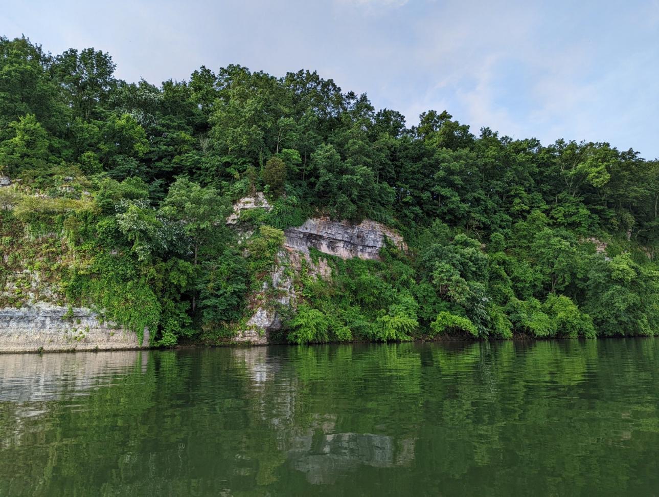
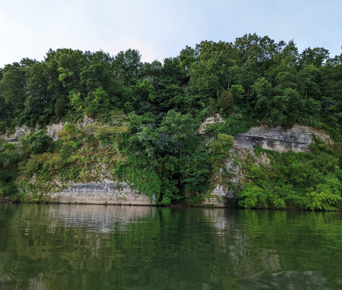
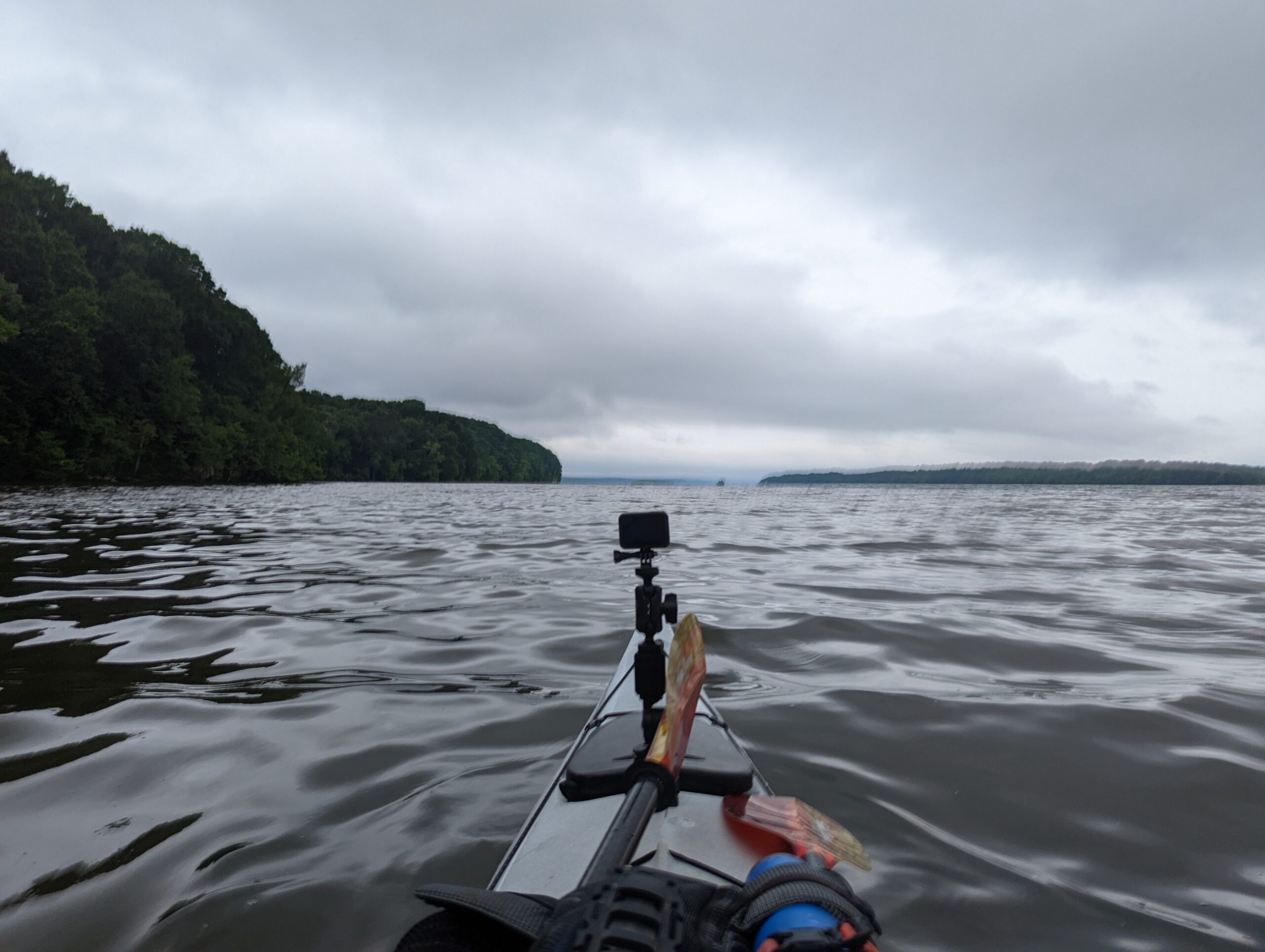
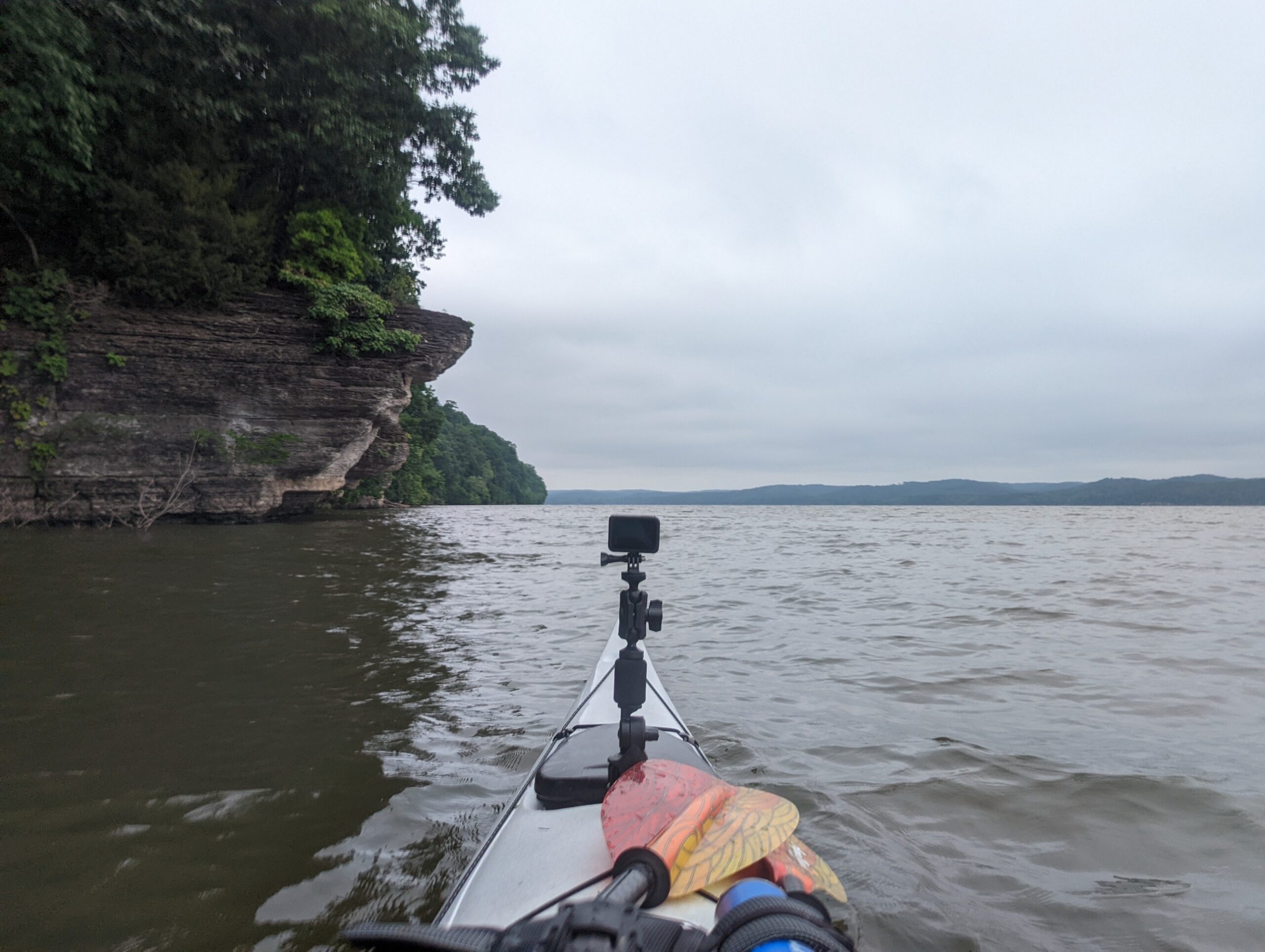
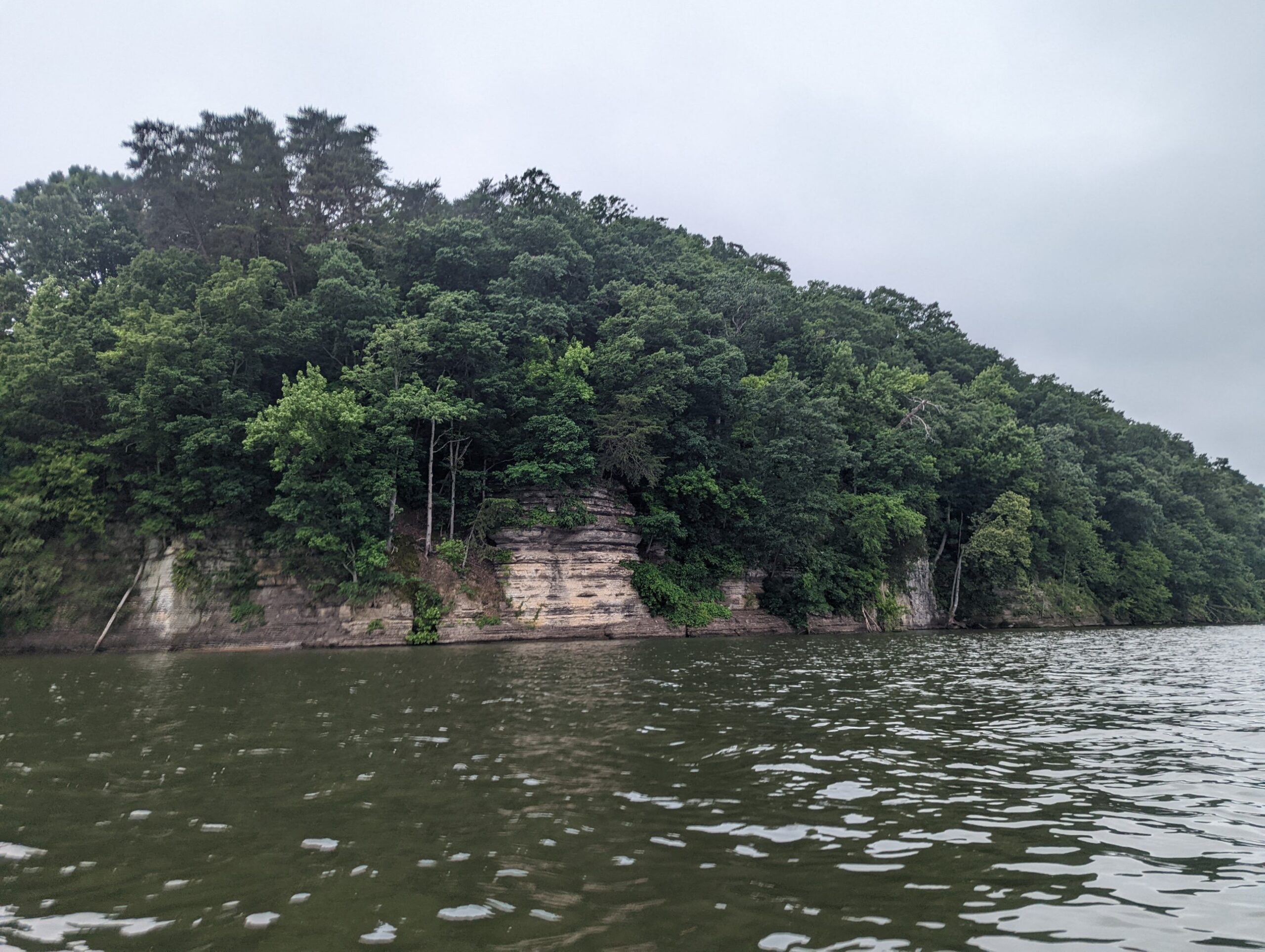
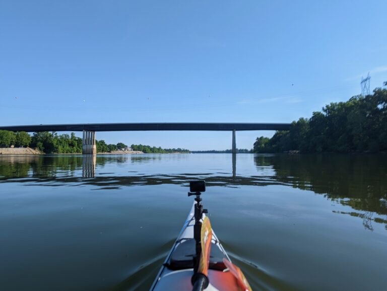
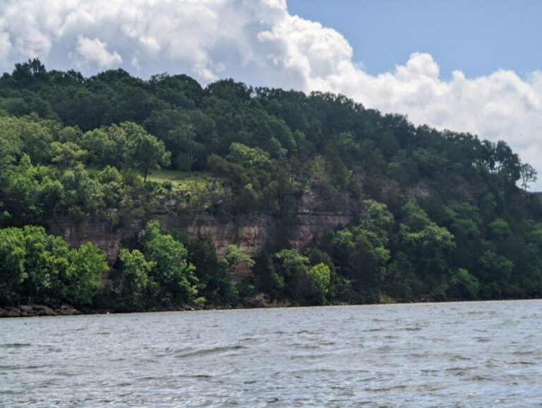
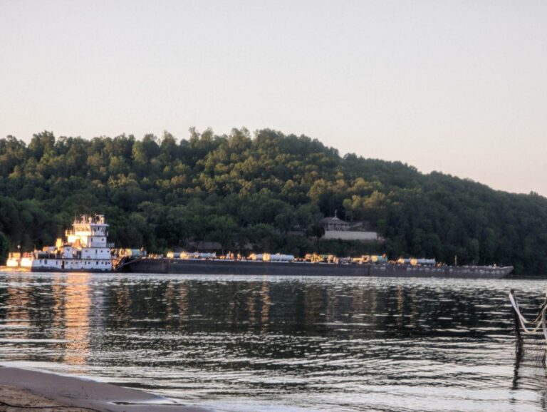
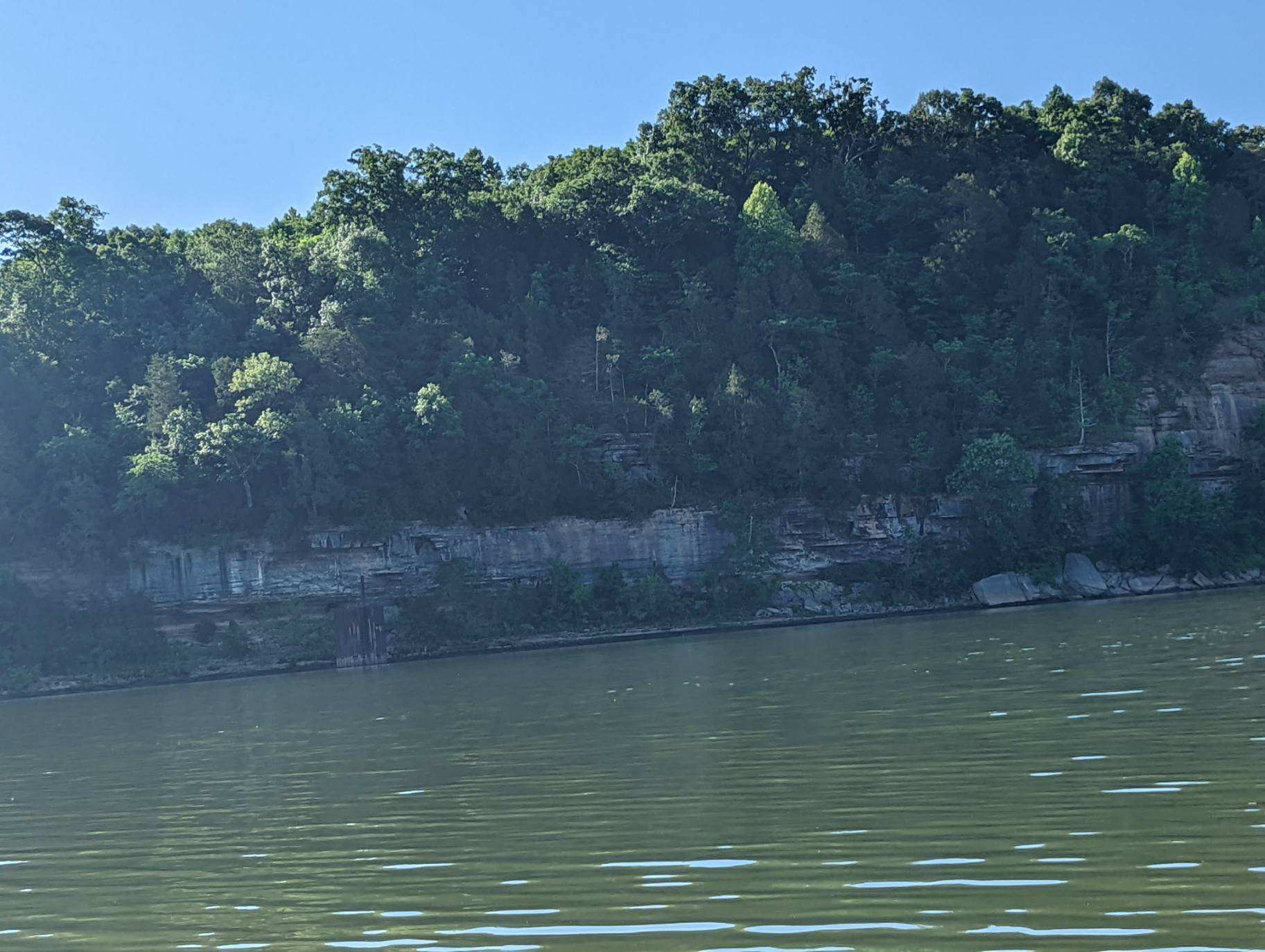
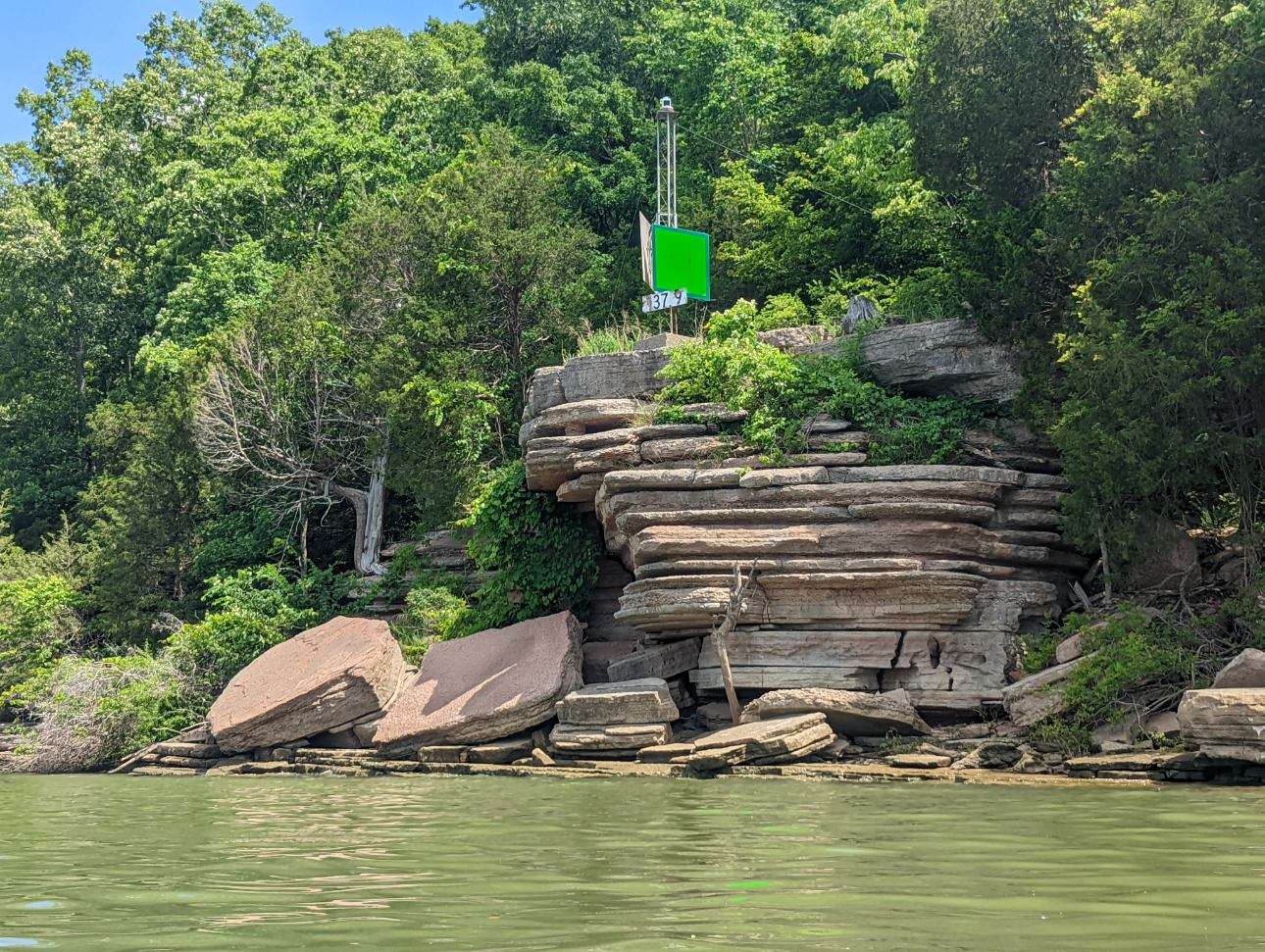
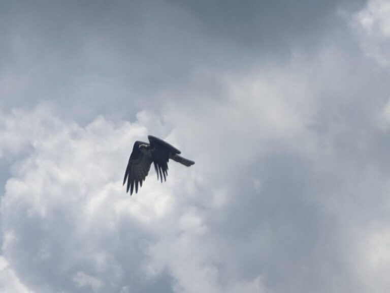
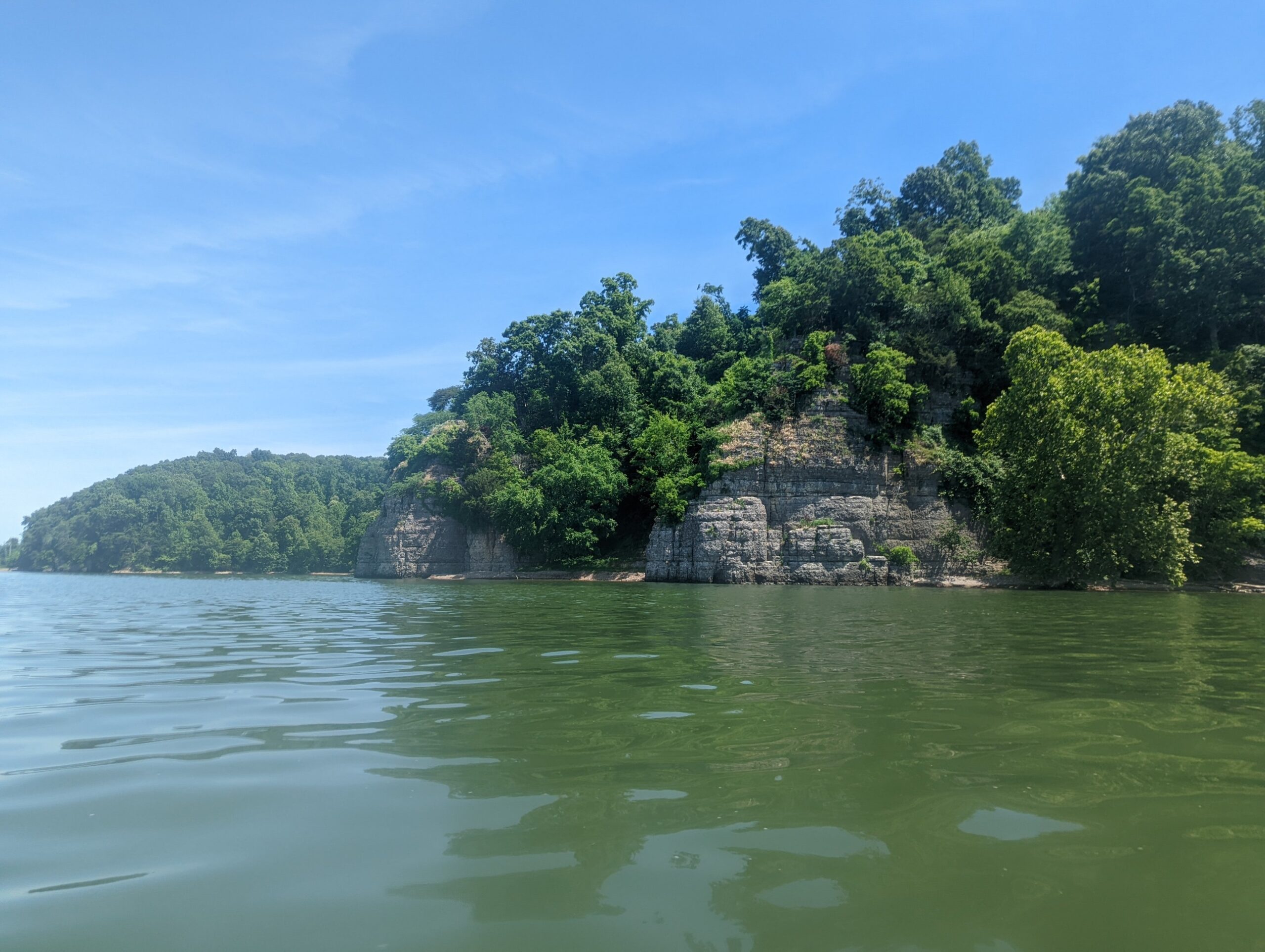
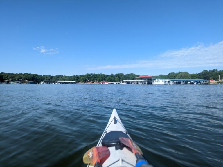
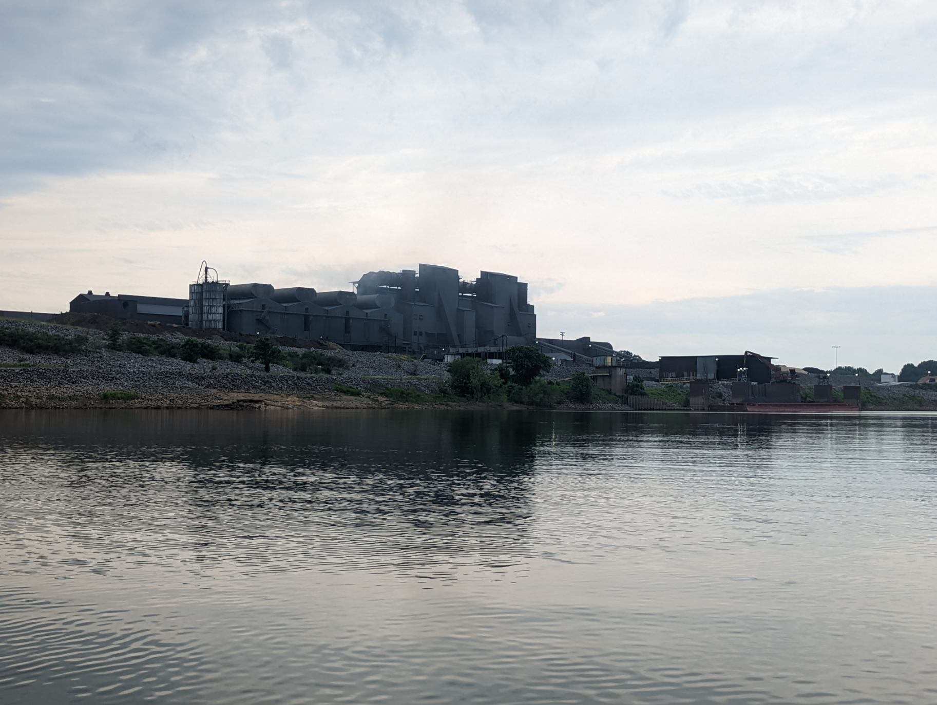
Starting mile - 523 Ending mile - 500 Launch time - 7:40 AM Takeout time - 5:00 PM Today was one of those days you just don't want to get out of your tent. Every day so far has been warm enough, but today was chilly & pouring. I started moving right after my alarm went off because I know those extra minutes at the start of my day will save me from or keep me on the water longer in the afternoon when conditions are tougher. I headed out, following a barge for the first several miles that had come in late last night. For the first couple miles, a bald eagle & I took turns leading each other down the river. The landscape was different today from yesterday - - I missed the limestone but enjoyed the riparian woodland habitat. I pit-stopped at Cottonport Marina at 10 a.m. to refill my water jugs then quickly was back on the water, knowing a thunderstorm was possible around 11 a.m. Thunder didn't come, but a stiff headwind did. For the remaining 11 miles of the day, I battled it as it steadily grew more intense, peaking around a consistent 20 mph. I challenged the gusts paddling as powerfully as I could just so I wouldn't be pushed backwards. The sunshine was prominent from noon until my break about 2 p.m., when I stopped for lunch & to change my GoPro battery. As boats raced past, I heard their rumbles & the rumbles of the storm I had missed earlier closing into the area. I was a couple hours from camp & knew I should hurry. The storm rolled in fast when I was about 45 minutes from camp. As the lightning strikes & downpour started, my core was already cramping from battling the wind for most of the day & racing to my destination. But I sprinted for shore & waited out the storm. I arrived at my campsite for the night, Blythe Ferry Boat Ramp (a historic Trail of Tears site), exhausted but satisfied with the day & the river miles. While prepping dinner, a man from the area named David came out to test his new touring kayak. We had a friendly conversation about each others' travels, the RiverLine and the history & revival of Chattanooga focused on recreation & the river. The connection was revitalizing & the best part of my evening! Despite its aesthetic & historical charm, I can't recommend Blythe Ferry to future paddlers looking to make a stop for the night. Swastikas & other inappropriate graffiti marked the shoreline's riprap, and twice during the night, cars have driven up past the boulders marking the pedestrian area off limits to traffic to within 10 feet of my tent. Yikes! I'll sleep well tomorrow.
TJ's Travel Journal -- Day 8
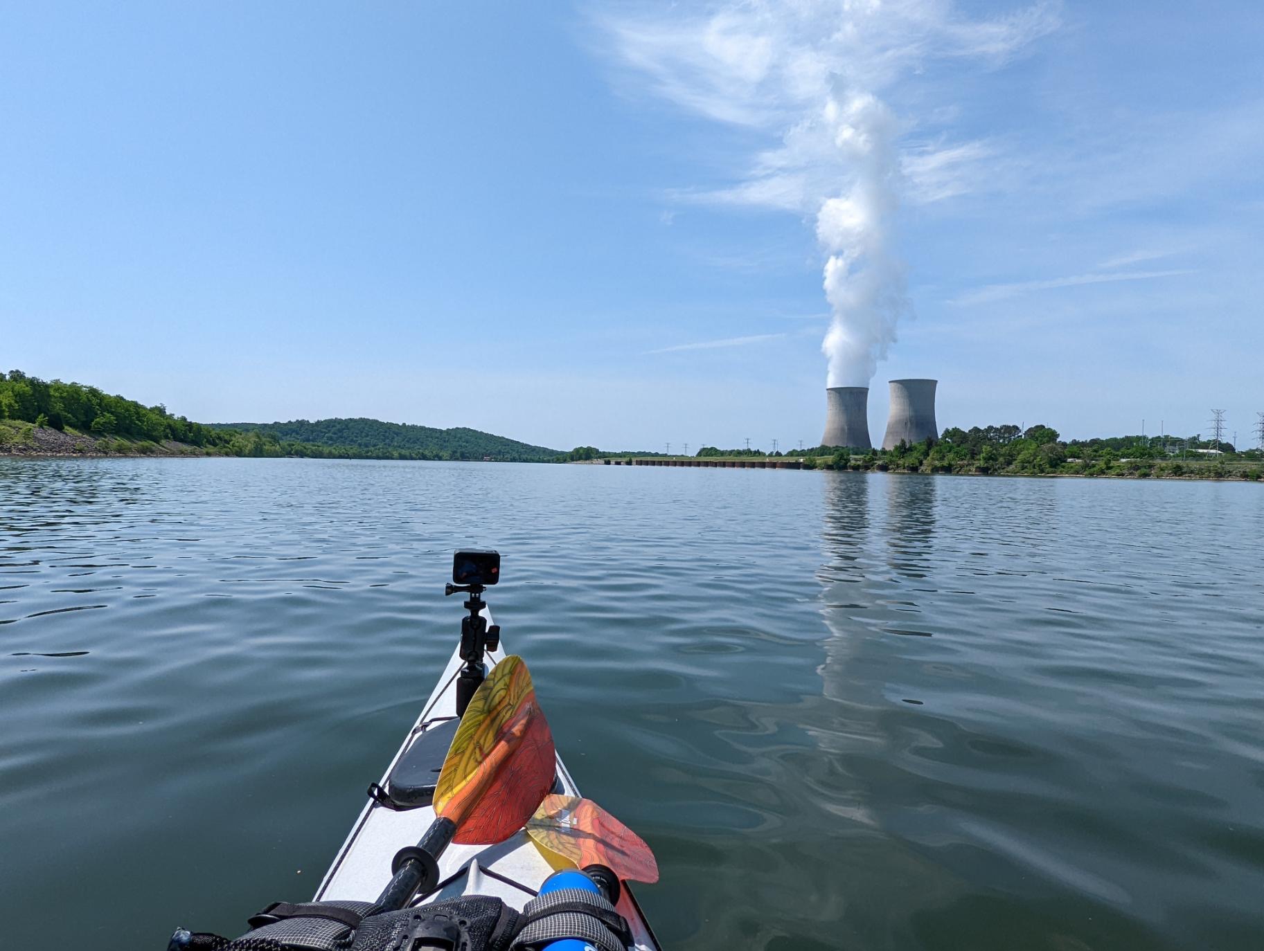
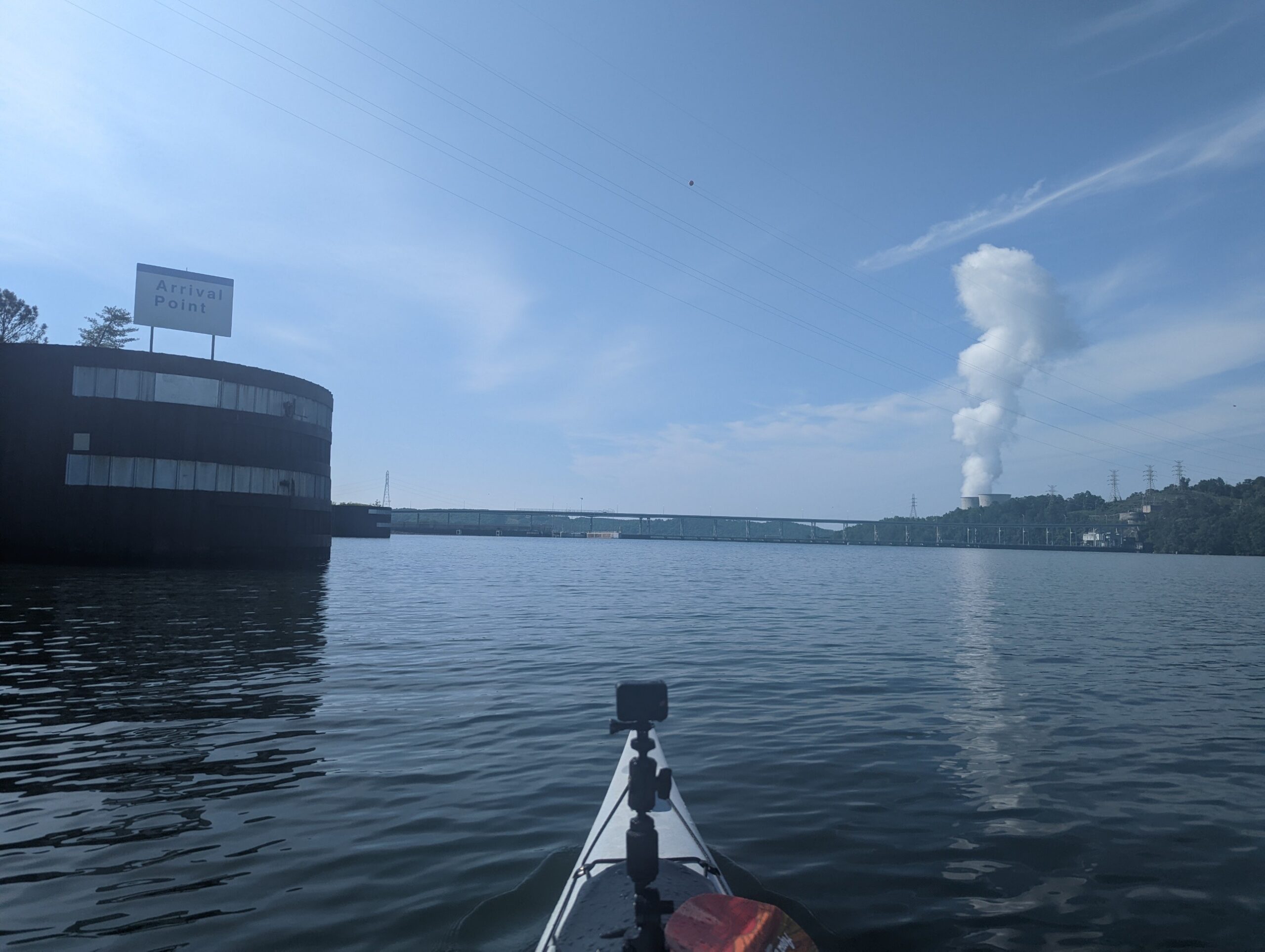
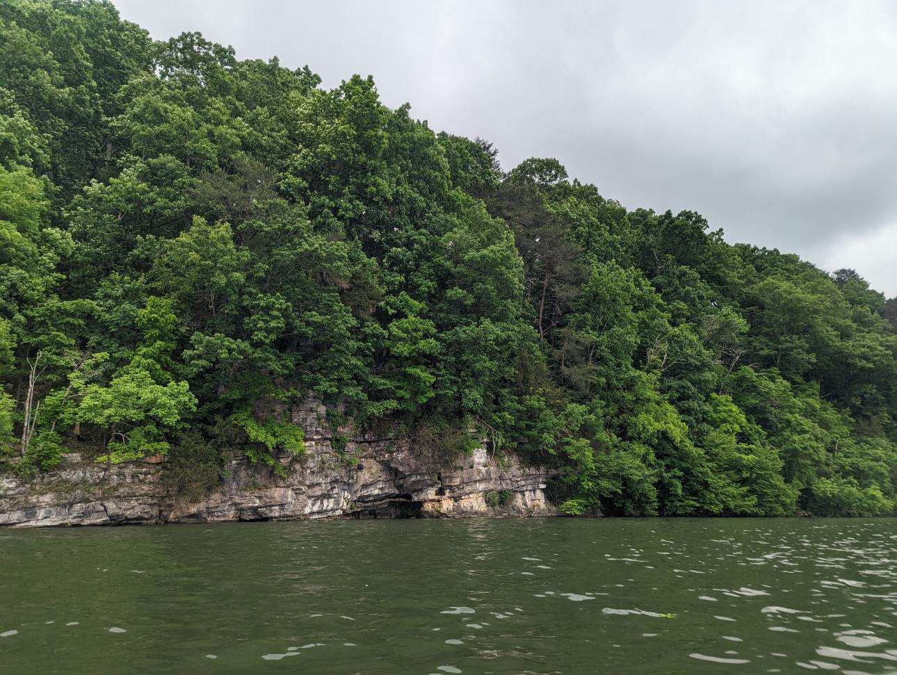
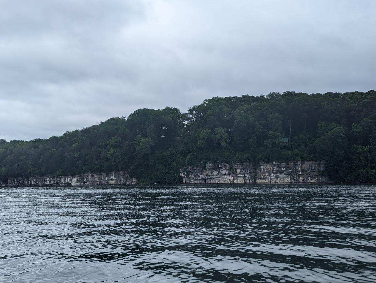
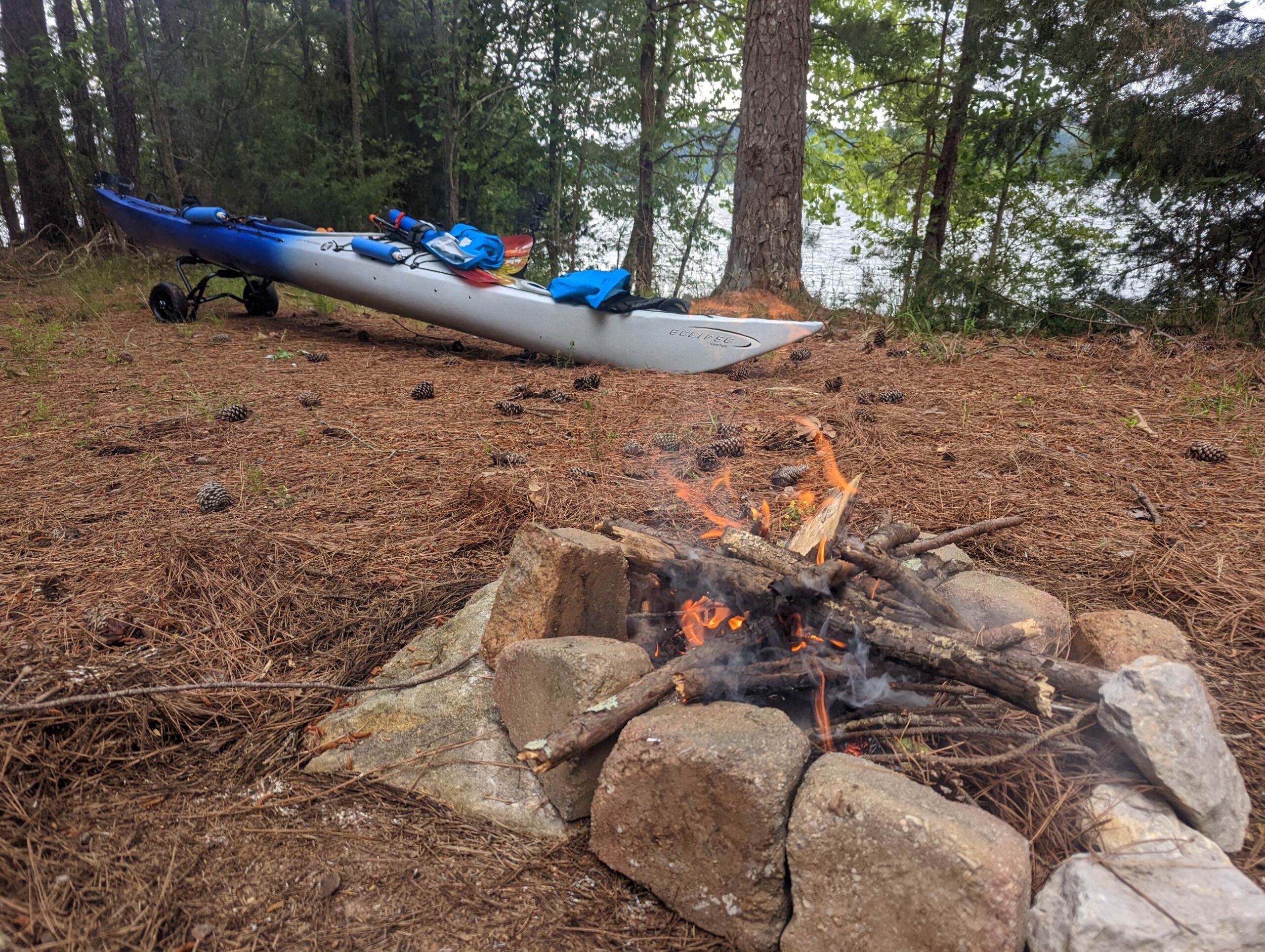
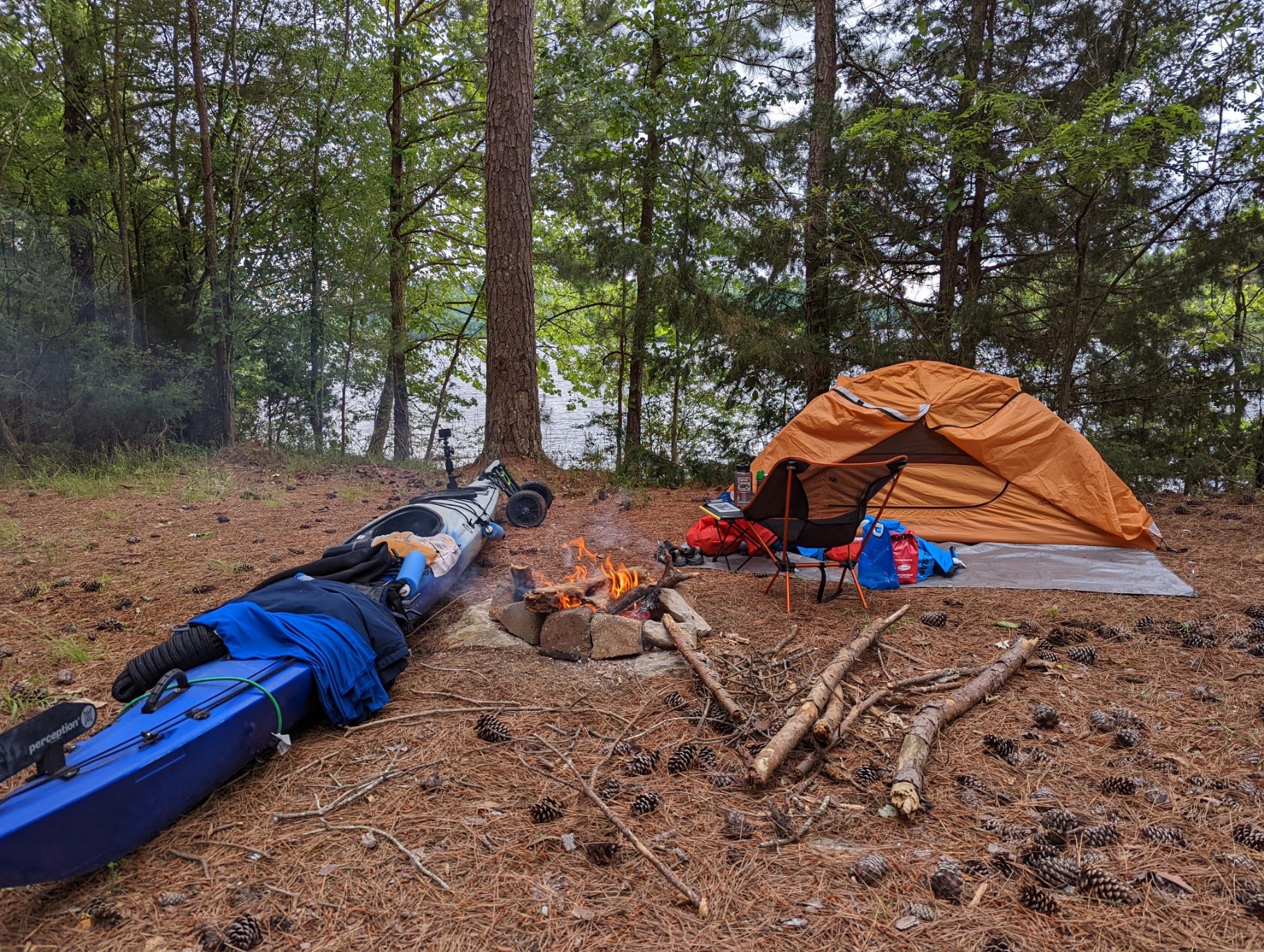
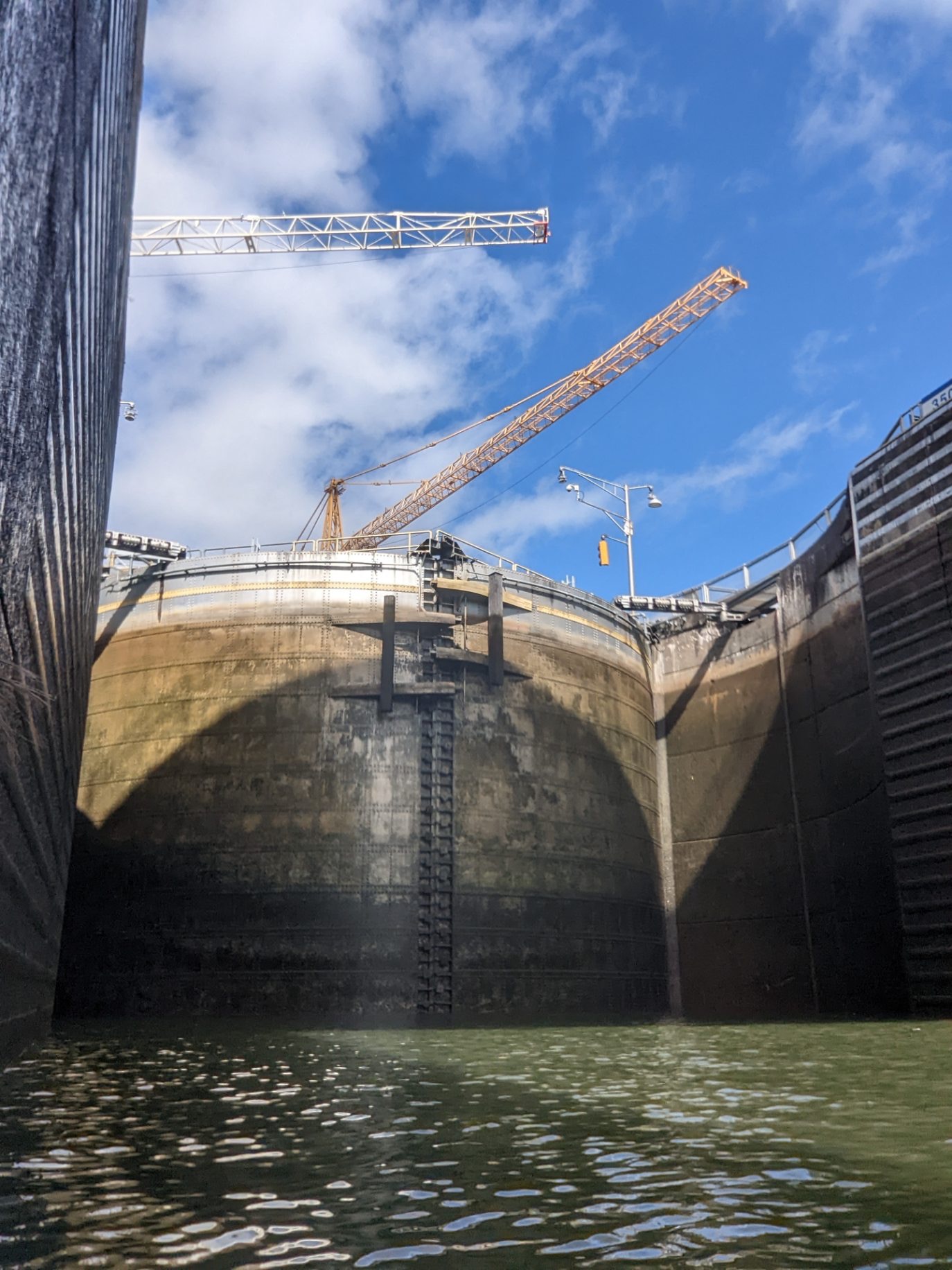
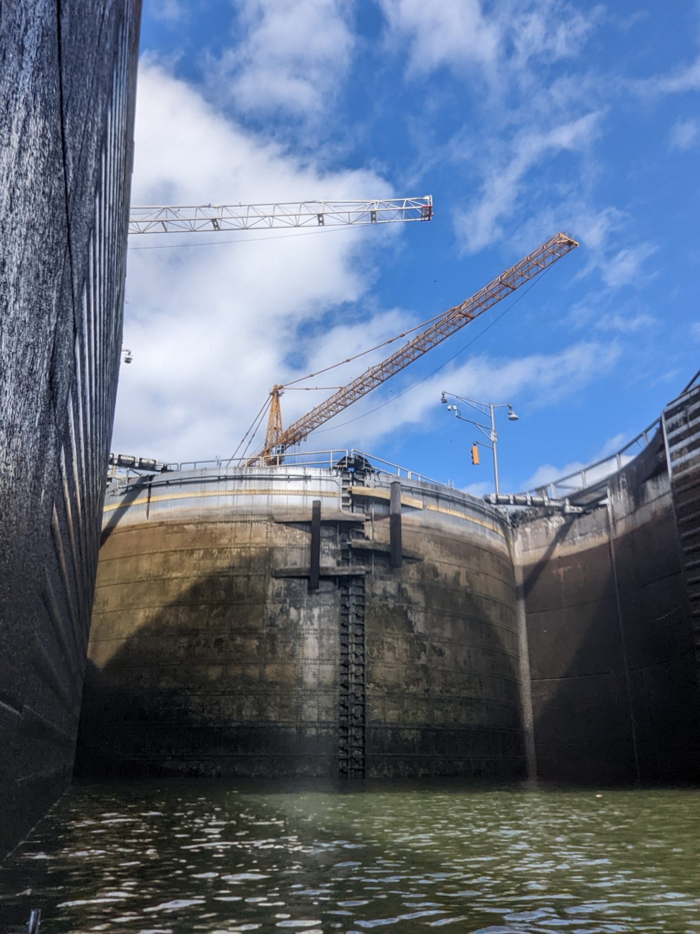
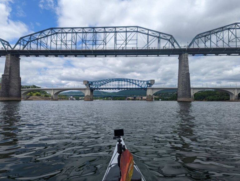
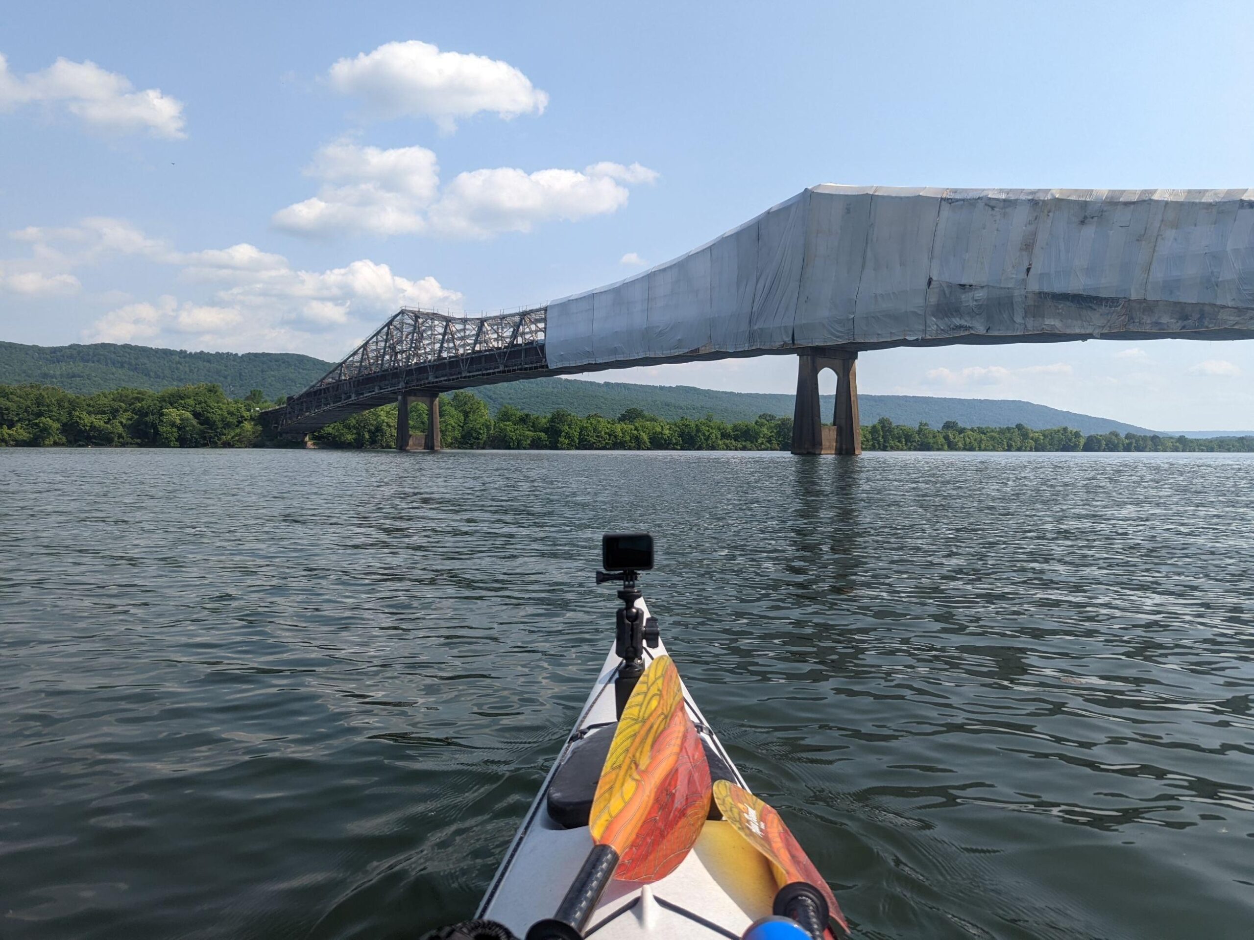
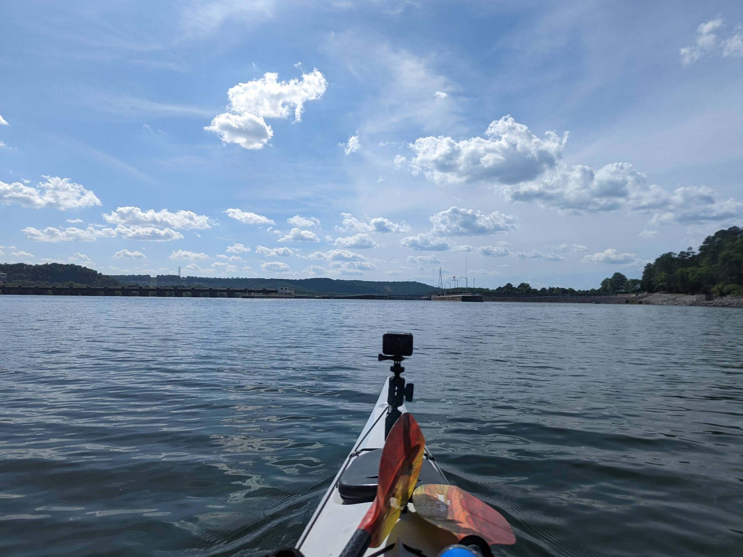
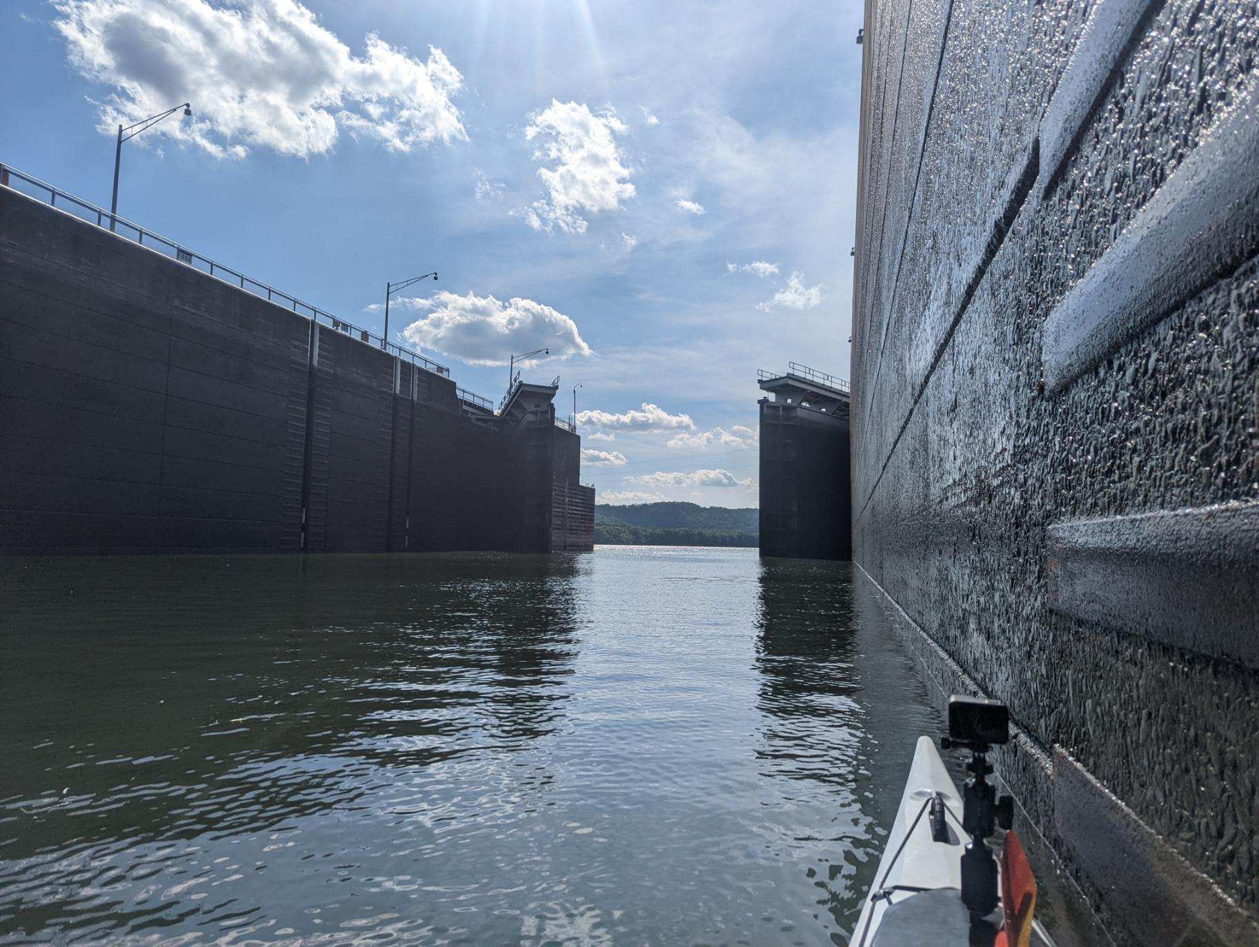
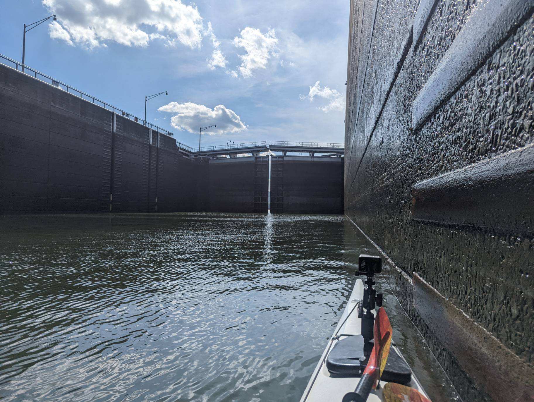
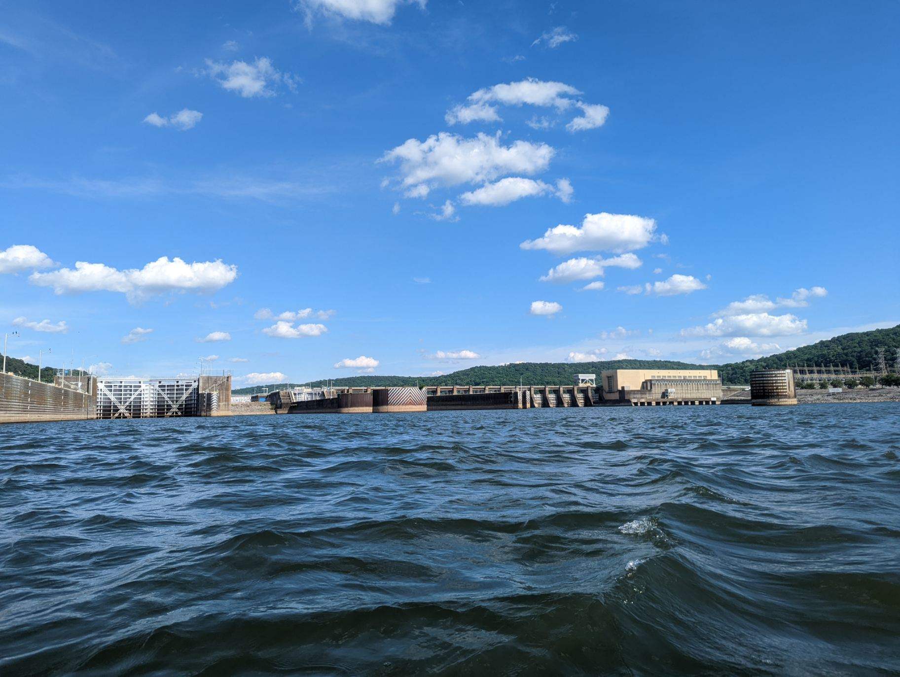
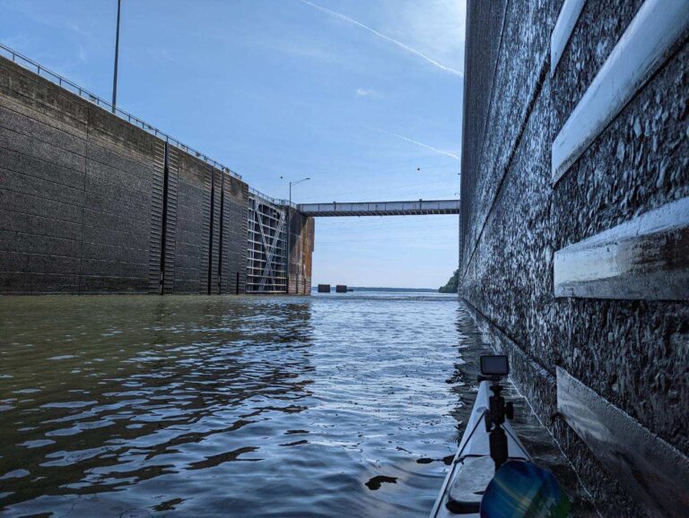
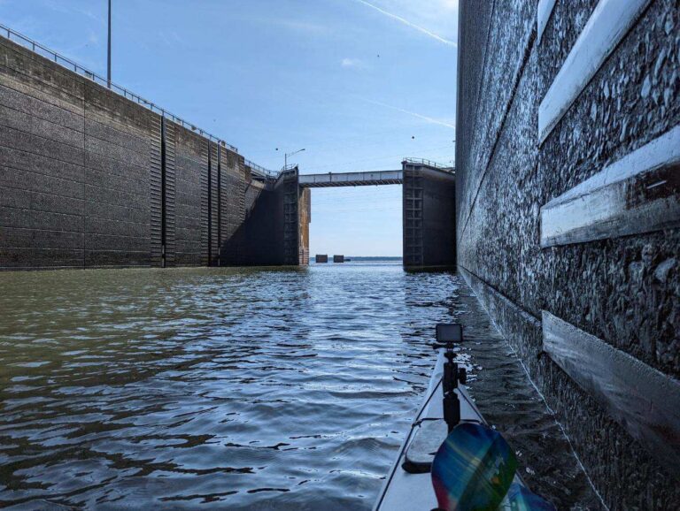
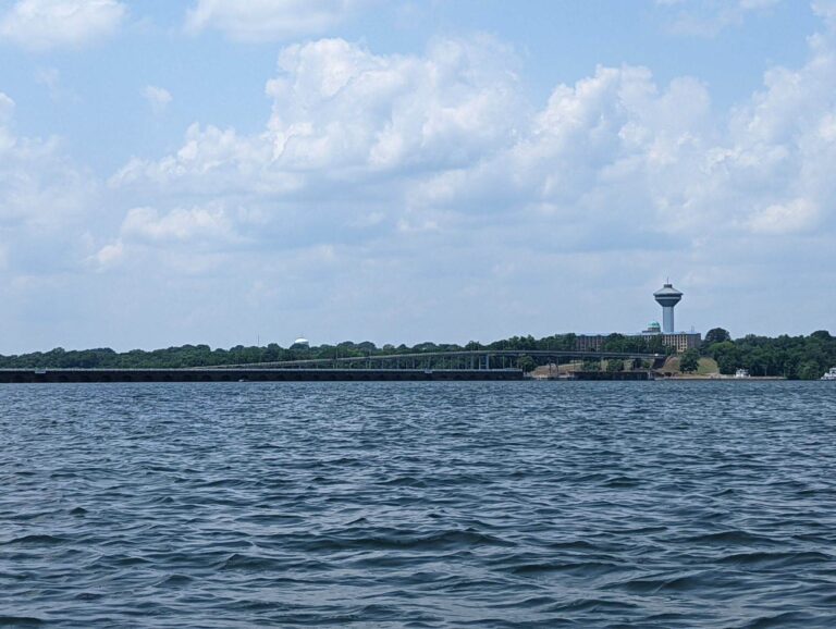
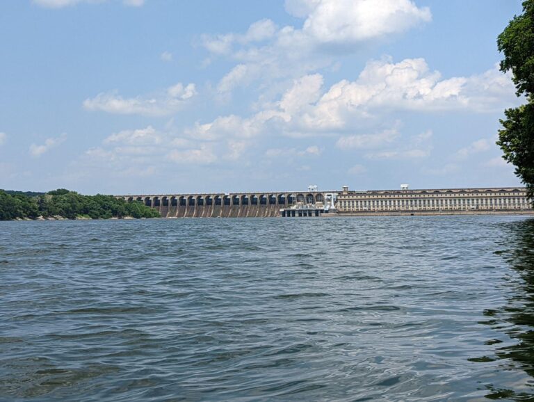
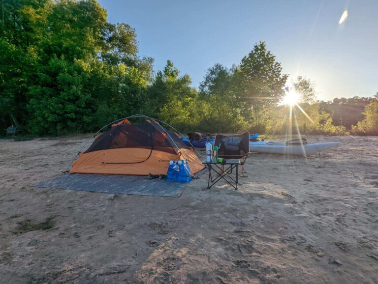
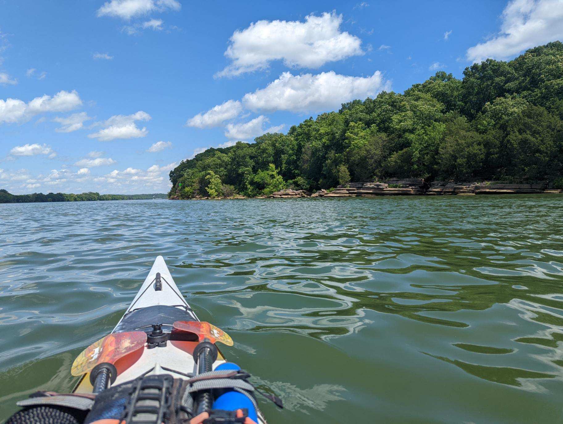
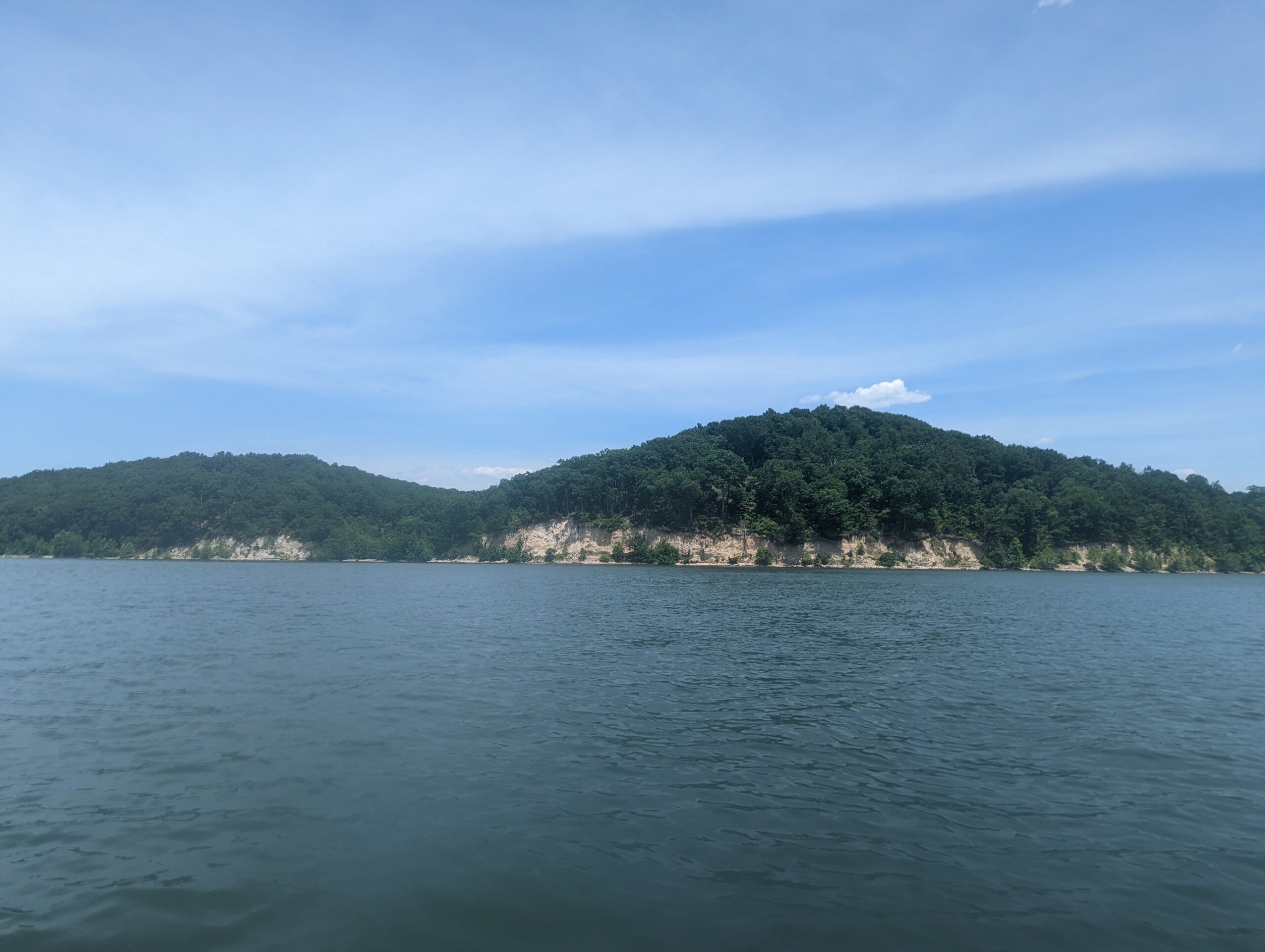
Launch time - 8 a.m. Takeout time - 2:30 p.m. This morning started like yesterday's - - cold & wet. No rain today, but my clothes & gear never had the chance to dry. I felt under the weather after being mindful of Friday night partiers at Blythe Ferry but managed to get on the water on time. As I climbed into my cockpit, the sun peeked out from behind the clouds & gave my body some much needed warmth for about 10 minutes. That was enough. The movement would keep me warm from there. Limestone formations & mixed hardwood forests were back along this final stretch of Meigs County, but this time waterfront homes were sprinkled along the riverbank. The day consisted of three important firsts for the trip. Around 12 miles in, I wondered why my paddle was slicing & slapping the water differently, only to realize it was my first tailwind! It pushed me for a couple miles, and the momentum carried me through the next two with a moderate headwind. I made good time & was thankful for that. My camp location was Pinky's Point in Hixson, Tennessee - - an undeveloped TVA site & my first wilderness one of the trjp. With that, came my first campfire! There's nothing like a campfire to warm the body & soul, and plenty of fuel to burn littered the pine forest floor here. I may have had a Tom Hanks moment when it started roaring. The fire thawed me out as I set up camp & made dinner. All I needed was a s'more (or three) to make it a perfect moment. This was my favorite camping location so far. It would have been the perfect place for a zero day! But I'll be headed through Chattanooga tomorrow & my second dam at Chickamauga. I'm excited to see the city scape for the first time from the water. Things I am thankful for: * Sunshine * The strength and endurance to paddle with less than ideal body condition. * Moments of seclusion in the woods * The opportunity to explore this river


.
TJ's Travel Journal -- Day 19
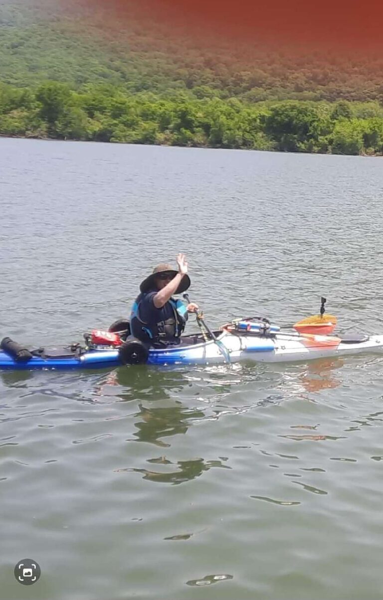
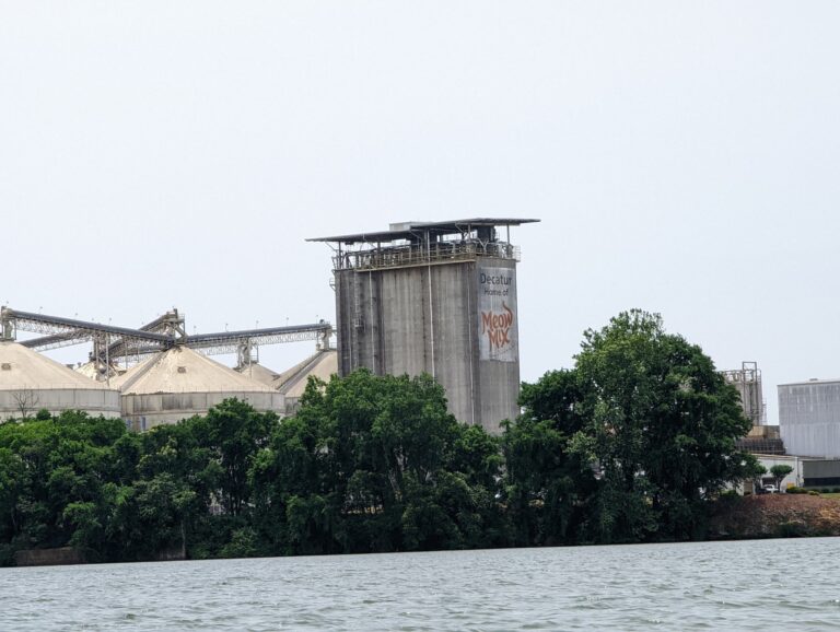
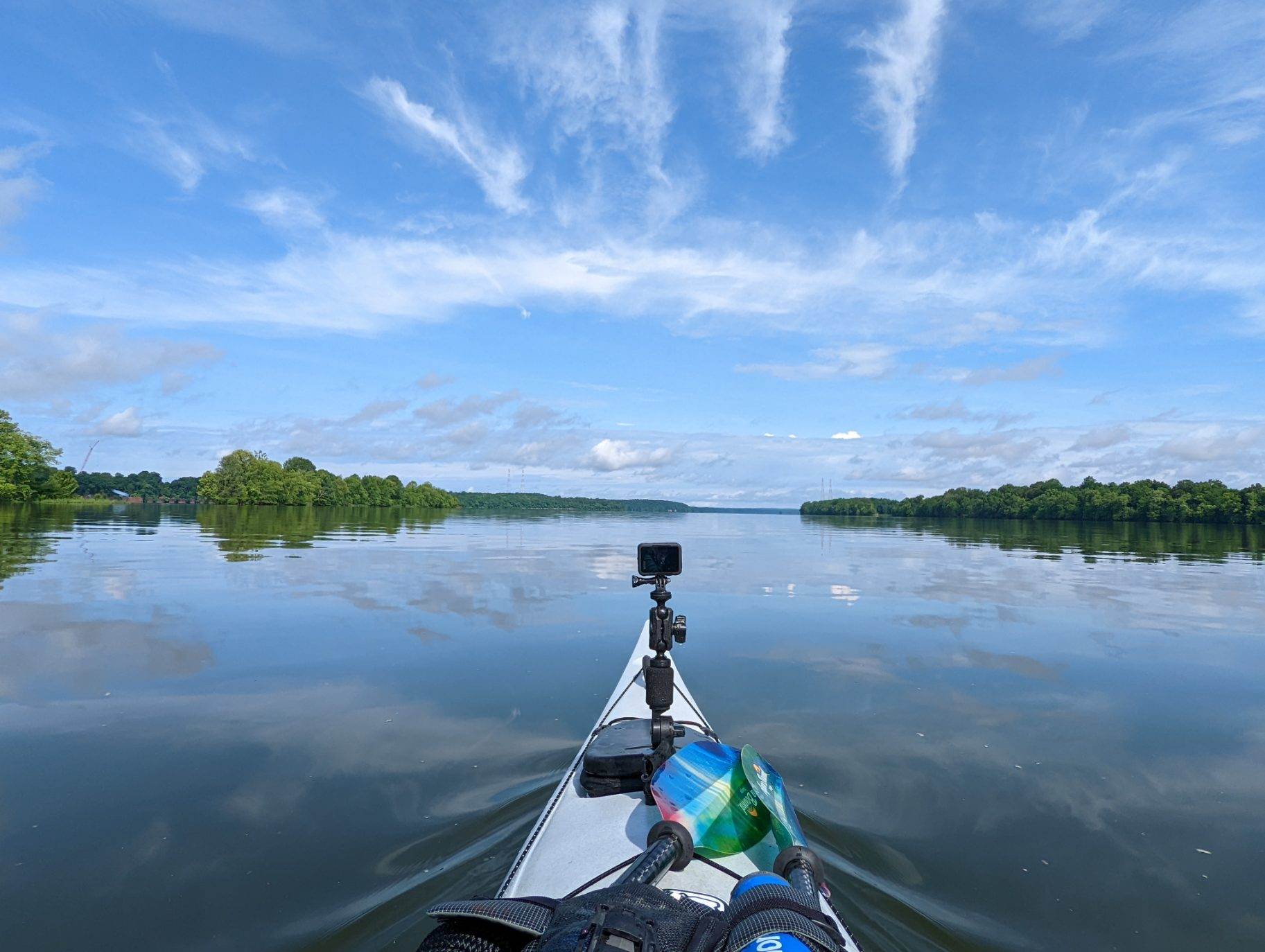
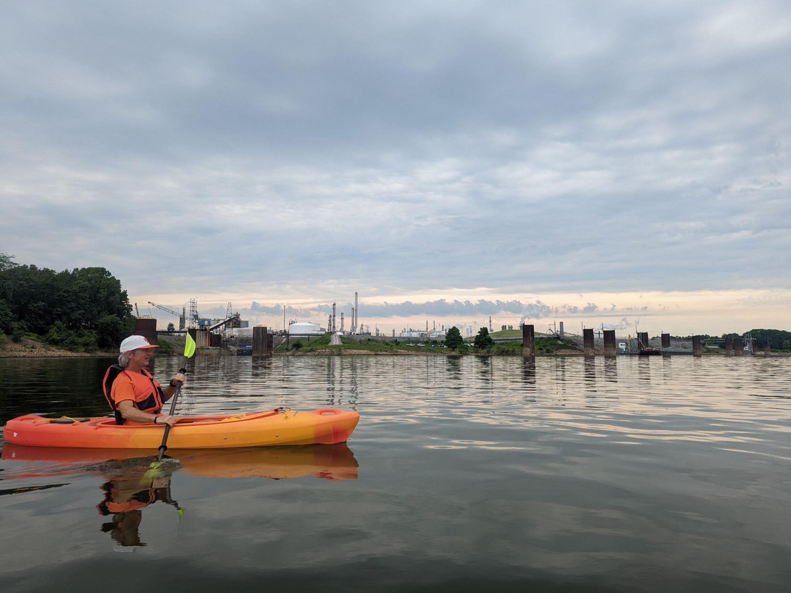
Starting mile - 321 Ending mile - 297 Launch time - 8 a.m. Takeout time - 4 p.m. I woke up excited today for two main reasons. First, I'll sleep at home in my own bed tonight! Since I'm the Shoals, it makes more sense to travel each day to my paddling location than spend a few hours setting up & tearing down camp. Second, I'll be on the water today with Decatur resident and fellow paddler Dan Truitt. Dan joined me at Triana Landing & we launched shortly after. As we moved downriver, Dan pointed out the access points & green spaces he'd recently mapped out as part of the RiverLine's river asset mapping project. This will develop into an interactive map application that will promote river accessibility. These first several river miles of the day were such a good example of why a tool like that is important. Even though the river was narrow here & the locations Dan pointed out were riverside, greenery along the banks was so thick I often would not have noticed the asset had Dan not pointed it out, nor would I have had a good map to reference. Members of every RiverLine community have contributed their time & effort to this project. Thank you to Dan & all individuals who worked on this project for future river users! While the river remained narrow, we crossed a variety of channels & tributaries leading to scenic backwater paddling opportunities. As we approached Decatur & the city's industrial center, the river started to widen. Once I smelled the Meow Mix factory, I knew I was back home in the MSNHA. It smelled eerily like the rice & beans I ate for breakfast and again for lunch once we arrived at Riverwalk Marina, Dan's takeout point. I'm so happy & appreciative Dan took a day to join me on the water. I was also glad he took out when he did because the last 8 miles of the day opened to the widest & windiest section of the river I've traveled. I trudged for a few hours to Cowford Campground in Athens across the open water, focused on staying afloat. I was able to see my destination most of that time but felt like I was barely moving because of it. Finally arriving, I was overjoyed when my ride was waiting for me. Regardless of how hard & long the paddle is, those first few minutes after pulling your boat out are rejuvenating. I laughed out how inconsequential the wind felt from shore before heading home for the day.
TJ's Travel Journal -- Day 24
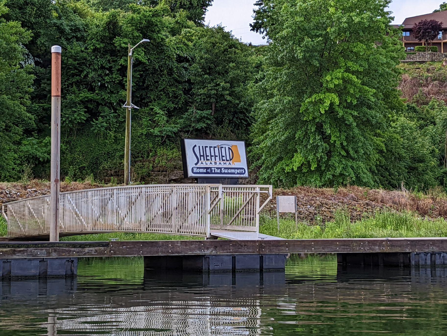
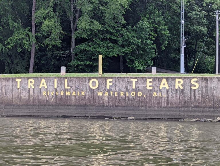
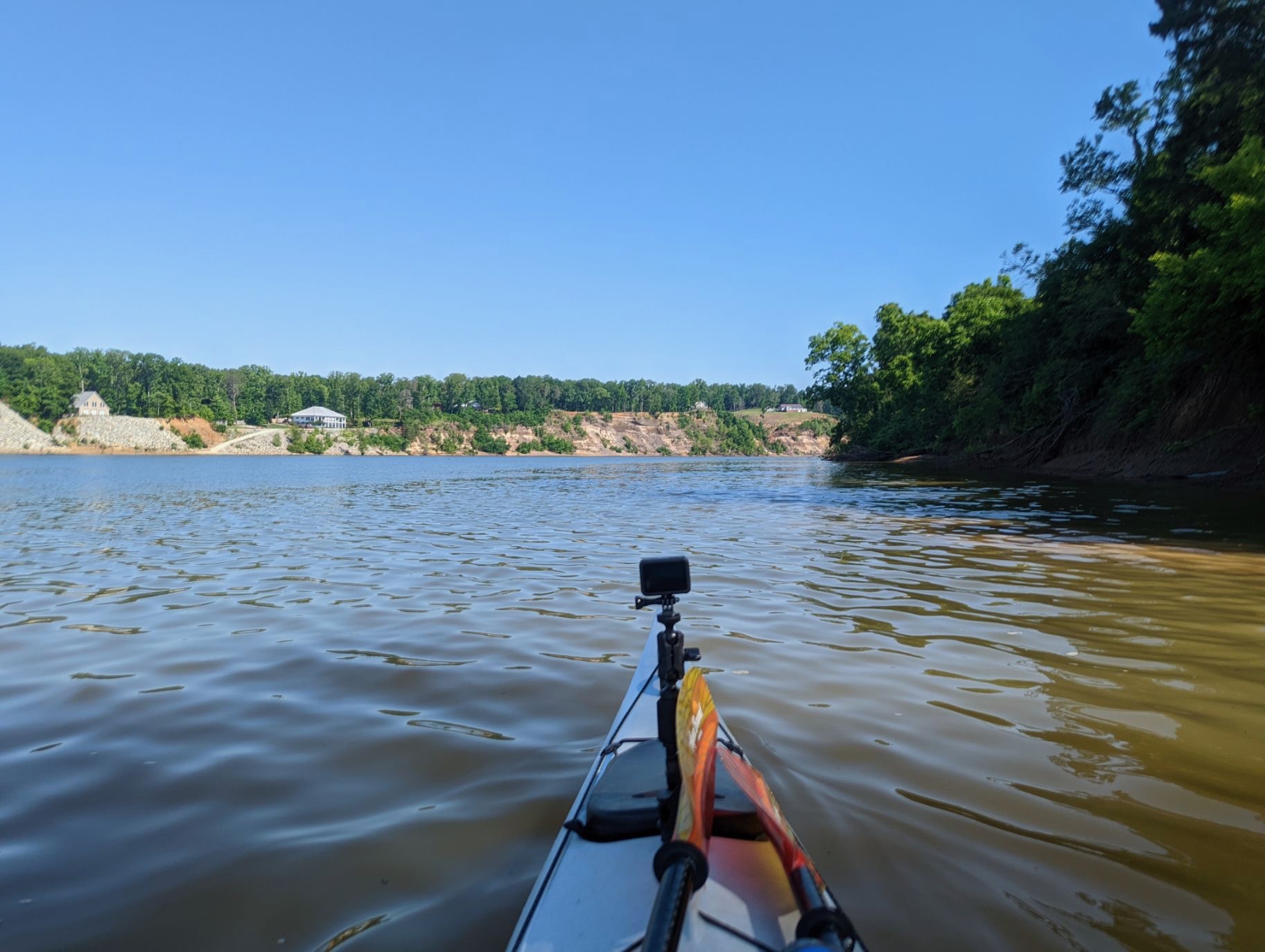
Starting mile - 244 Ending mile - 227 Launch time - 8 a.m. Takeout time - 2 p.m. Travelling through the Shoals -- my home -- during this trip has been a joy. I've become more familiar with the access points & miles of river here and more appreciation for them. Today, my last day through the Shoals, was no different. My destination was Waterloo, a historically significant landing along the Trail of Tears, 17 wide river miles down from Cane Creek's ramp. Then I would soon say farewell to Alabama and re-enter Tennessee. The day started humid but a headwind quickly picked up to bring a crispness to the air as I left the Cane Creek inlet. I regretted leaving my rain jacket in the car because of the chill. After so many days of headwinds recently, I seemed to make my way through the seven stages of grief during today's paddle. The extra rest from yesterday kept me in high spirits at first. But the wind & jabbel were turbulent, keeping me in the 2-mph range. As I accepted the conditions & looked forward to a rest day tomorrow, a simple act of kindness on the water boosted my morale. As I neared the Natchez Trace Parkway bridge & boat ramp, recalling the times I've driven over the bridge & watched the setting sun sparkle on the river, an approaching boater slowed to a crawl as they passed. Every other boater overtaking or crossing my path during this trip, regardless of water conditions, have maintained full speed & often don't take a wide berth. I truly appreciated this boater's good right-of-way & safe boating practices. As a kayaker, I can also be considerate of larger craft that may need to use certain deeper channels in the water & be sure to give them space to navigate. But this boater's good practice meant a lot when I was already facing choppy water. The little things really make all the difference. In a few more miles, I reached Brush Creek Park and Campground. If I weren't heading home for the evening, this campground would have been a must stay & should be for any paddlers coming through the Shoals. I had the pleasure of camping, playing disc golf & kayaking here with UNA's outdoor adventure club, Rec & Trek, the weekend before leaving for this trip. I was amazed at how scenic & well-maintained the large, underutilized area is. I stopped here to change my GoPro battery, then I was back on the water. During my stop the wind died, making the last hour and a half of my paddle much more enjoyable. Small beaches began to surface, replacing the former dominant bluffs or otherwise inaccessible banks in these last few miles. As I paddled under the bridge into Waterloo, entering Second Creek to take out at the boat ramp, dozens of swallows fluttered in & out of the eaves they had built underneath & along the bridge, which was just 10 or 15 feet over my head. A wildlife close encounter is always the perfect way to end a paddle!
TJ's Travel Journal -- Day 29
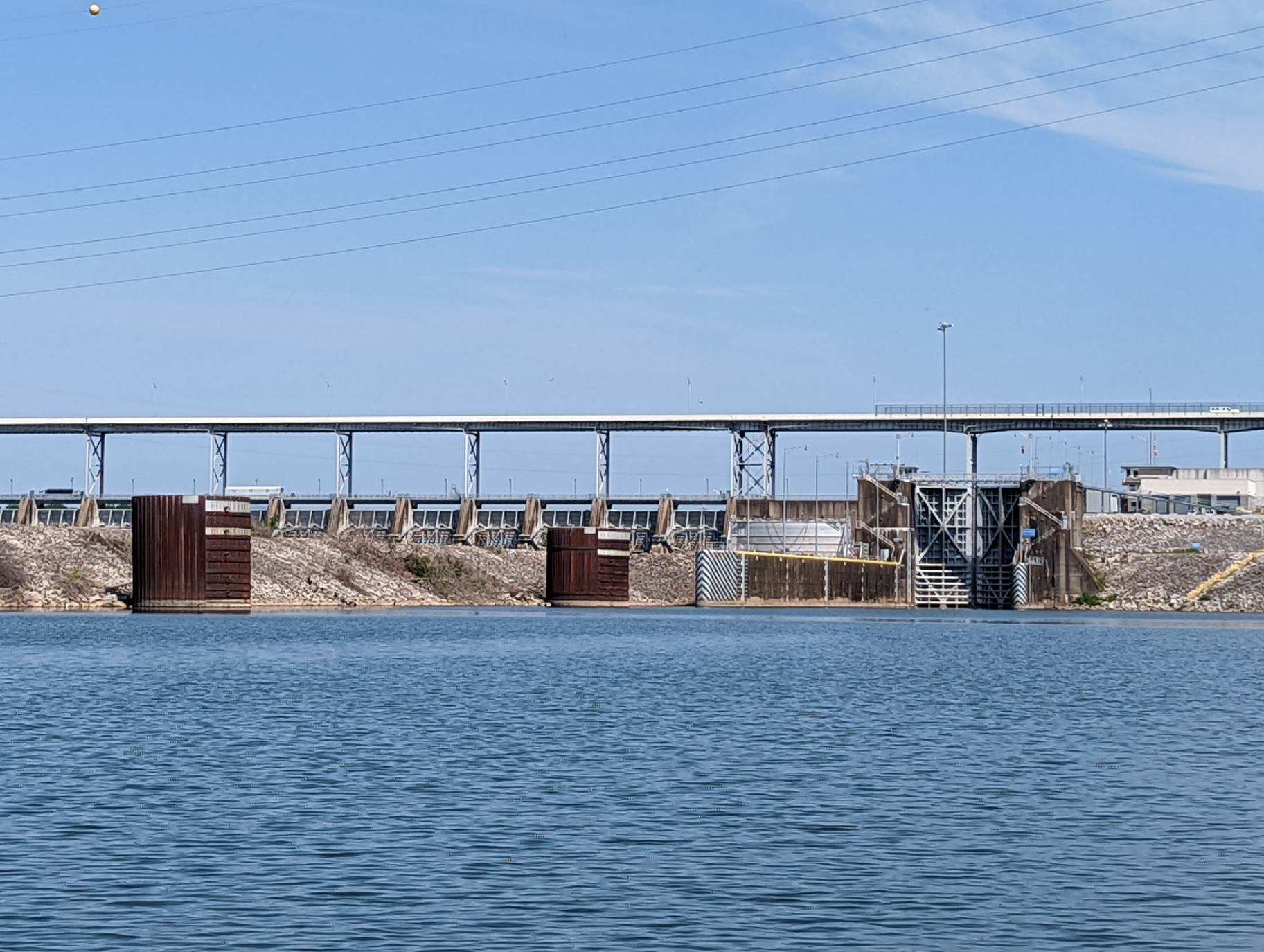
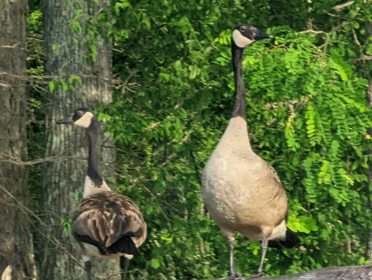
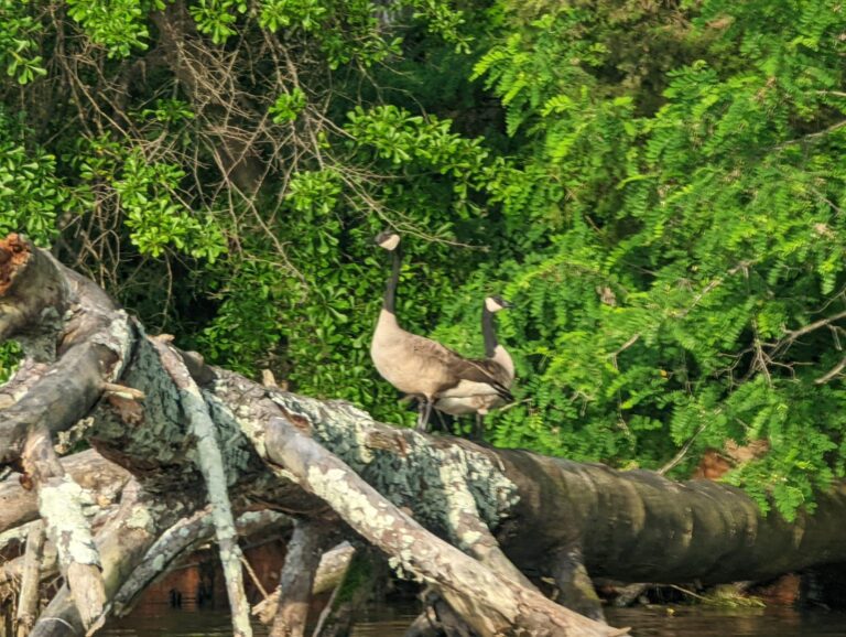
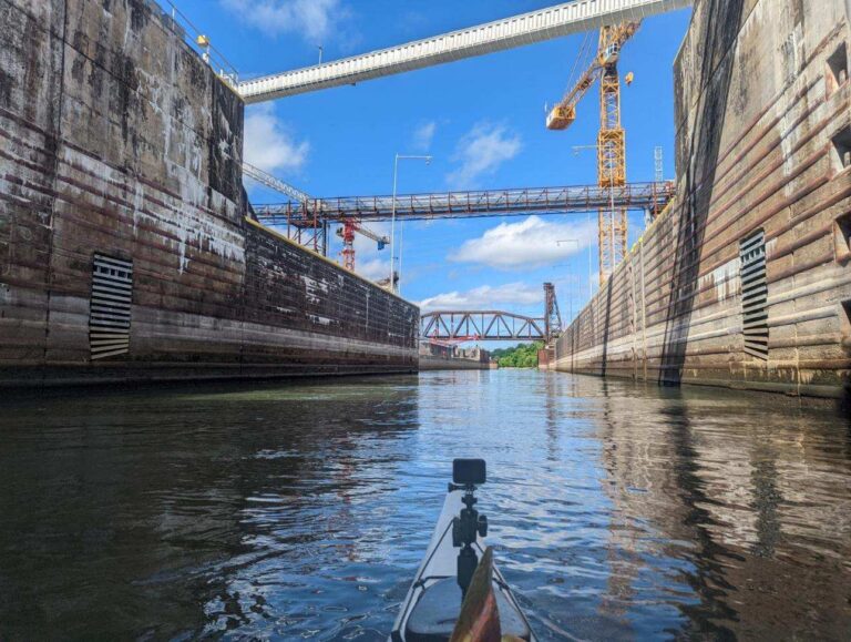
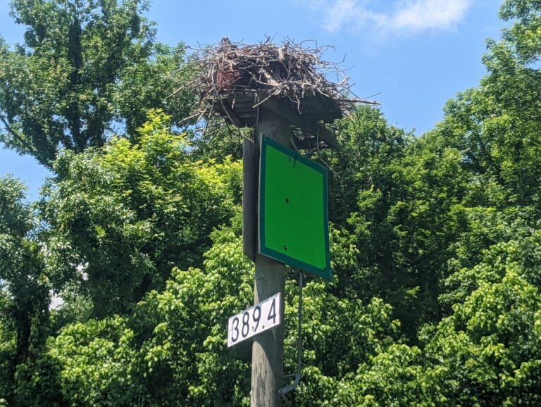
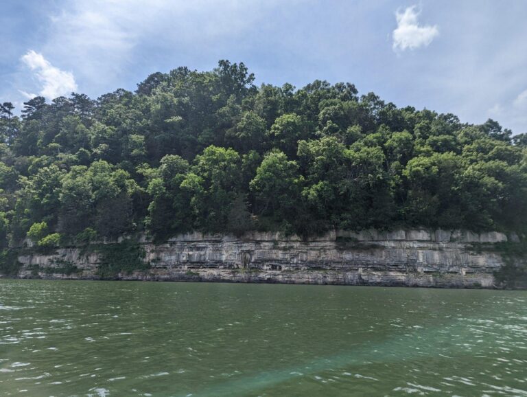
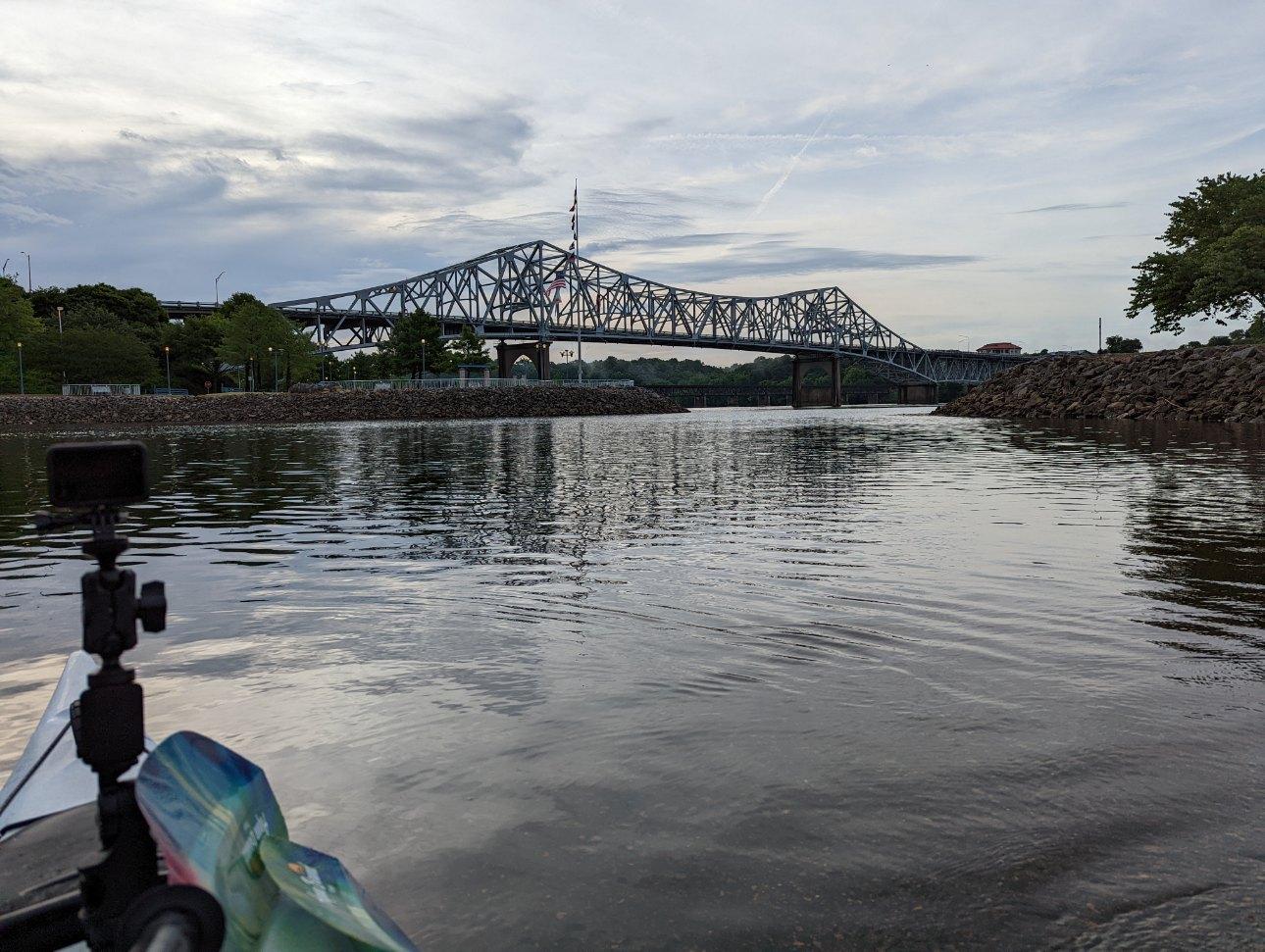
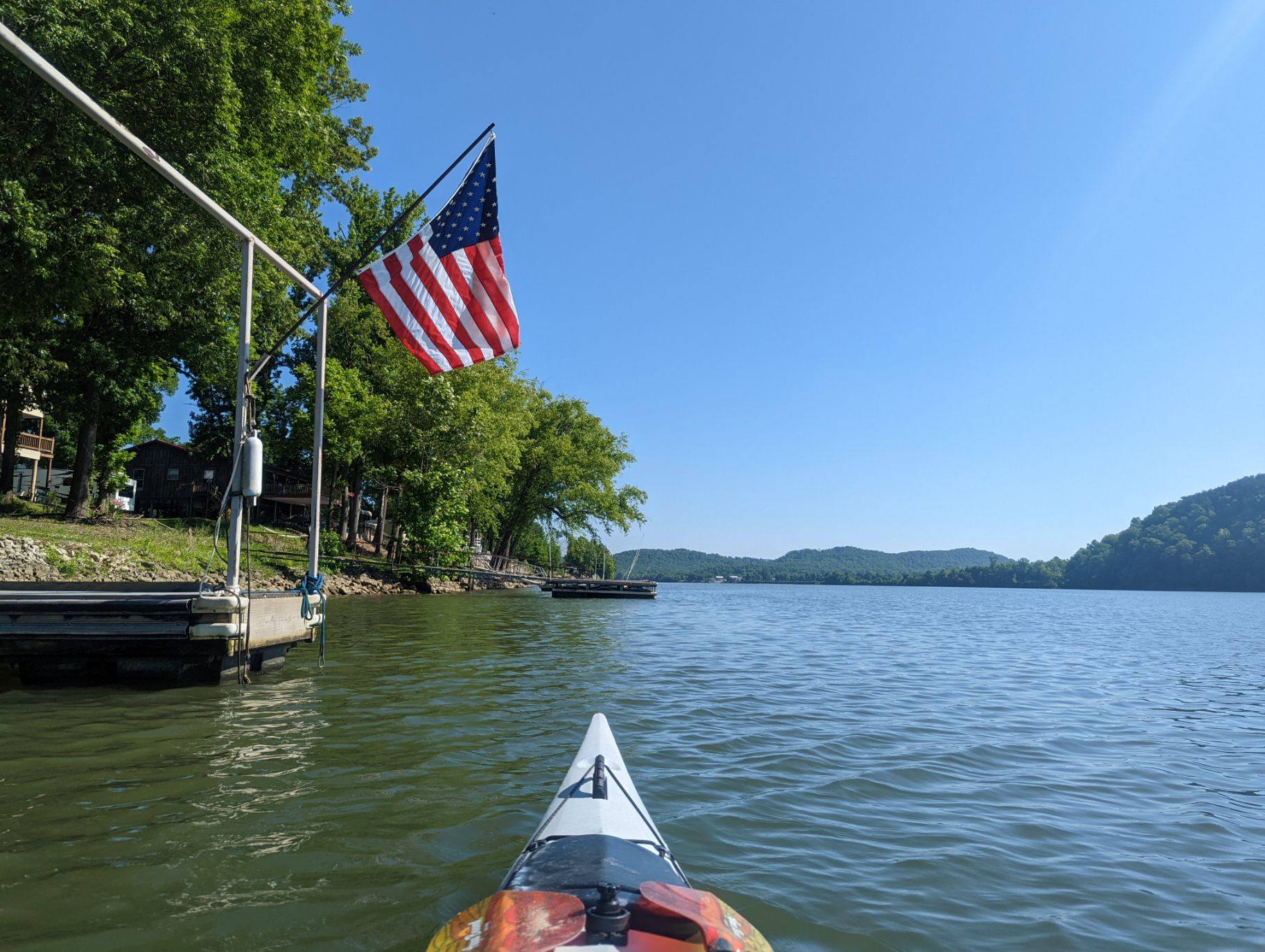
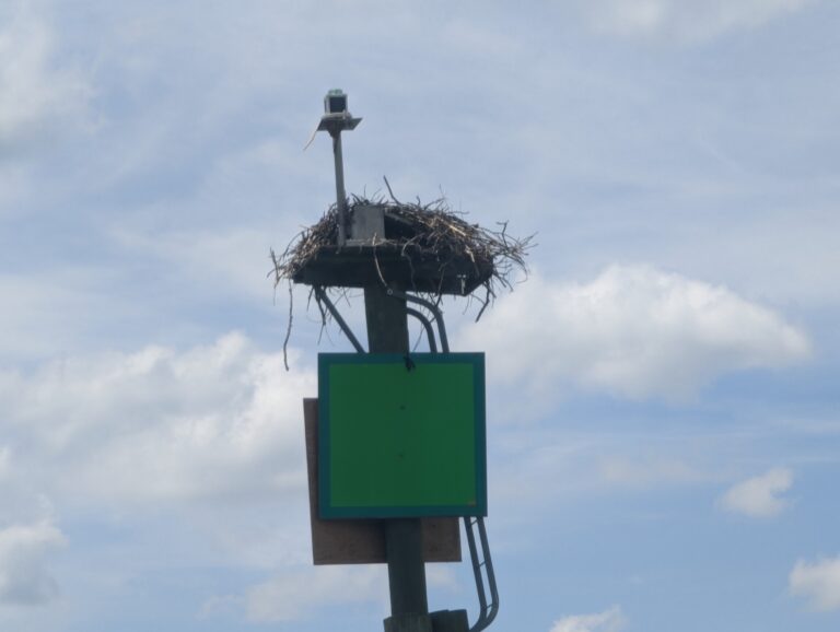
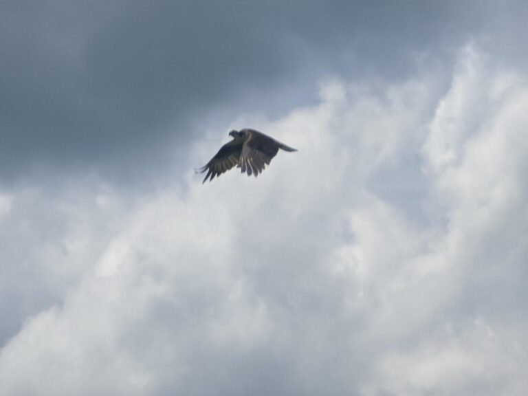
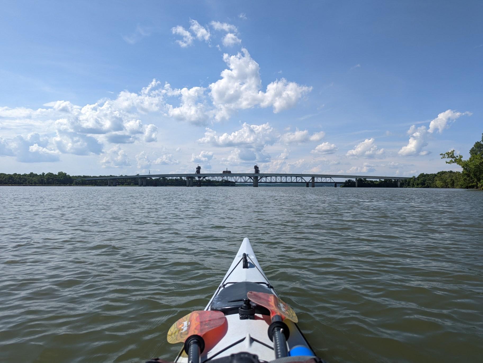
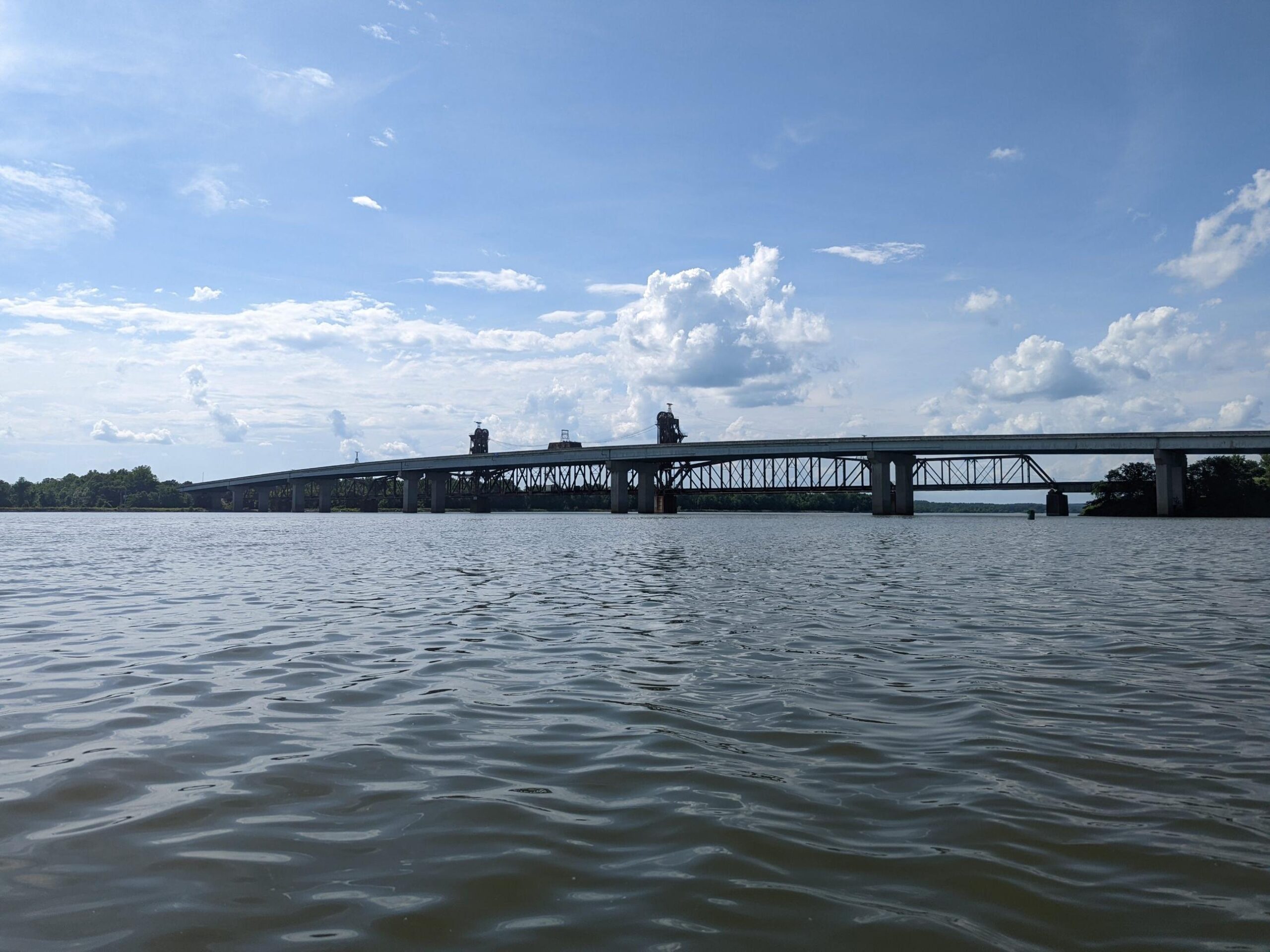
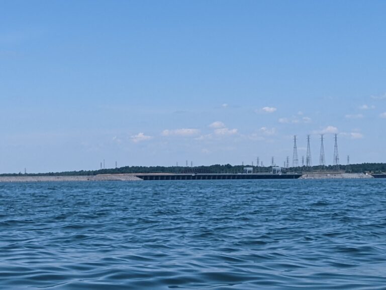
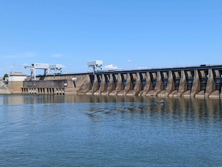
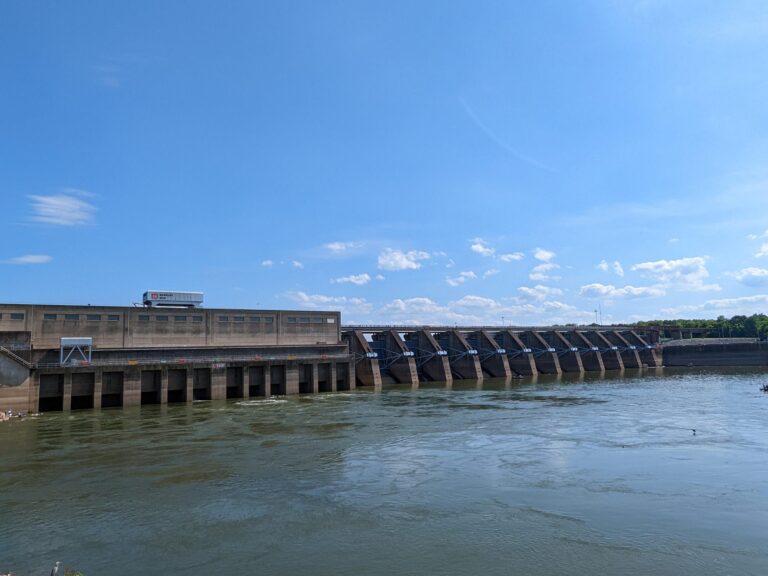
Starting mile - 206 Ending mile - 190 Launch time - 8:15 a.m. Takeout time - 12:10 p.m. As I entered the Pickwick Recreation Area to launch this morning, my face lit up as I saw some flow to the narrowed river, especially since wind was not on the forecast. As soon as I launched, I felt the benefits of the current. It made all the difference. To compare, I exerted the same effort today & yesterday but finished 16 miles in just under four hours today (~4 mph) and 21 miles in nine hours yesterday (~2.3 mph). For the first few miles after Pickwick Dam, campgrounds dominated the river's steep banks. Waterbirds are not as common in this area as earlier in my river adventure. I miss seeing osprey & certainly feel I took their numbers for granted in my first passthrough of Tennessee. However, the landscape is still just as green & Hardin County offers its own charms. As I passed Shiloh National Military Park, what I identified as cannon fire boomed twice. Later I learned that the Shiloh Cannon Crew holds cannon demonstrations firing reproduced 6-pounder field pieces used by Civil War artillerists. The bellowing was a fun, if not momentarily concerning surprise! I'm sad I couldn't visit the park or the Tennessee River Museum, which interprets eras from pre-historic life to post-war reconciliation, during my trip, but weather threw off my schedule. I didn't want to miss the meet-up time with Hardin County's friendly RiverLine team. By noon, I pulled into Wayne Jerrold's River Park thanks to the swift water. Though this has only been my second day with any current, I'm hoping my luck continues tomorrow & through the week before the river widens again!
TJ's Travel Journal -- Day 31
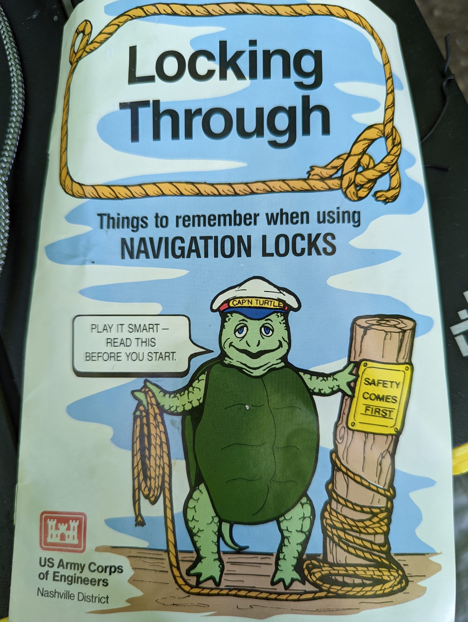
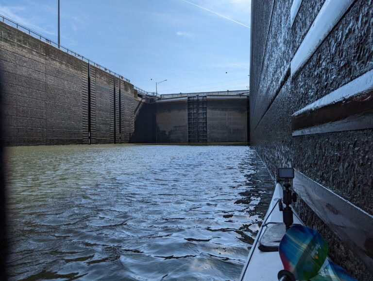
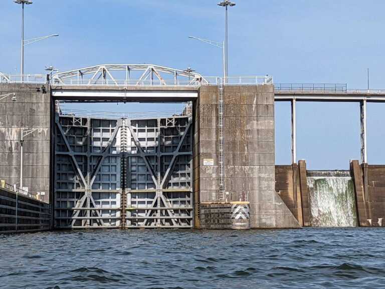
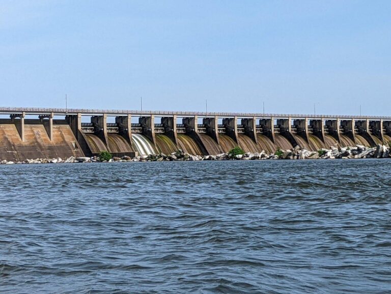
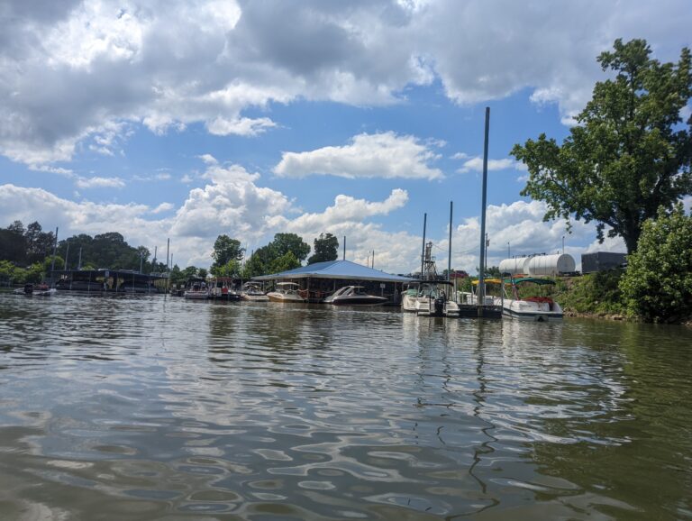
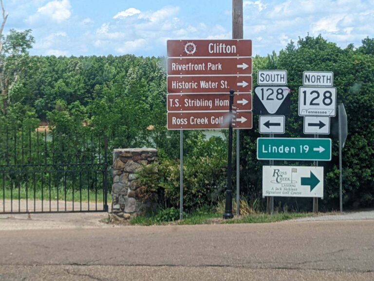
Starting mile - 171 Ending mile - 149 Launch time - 8:15 a.m. Takeout time - 5:30 p.m. When I woke up this morning, the shoreline was back down to where it had been when I originally pulled up to the site, although the log bracing my kayak in place was gone. It would have been difficult for the water to carry my kayak away because of how the trees were lined up at the shore, but I was still happy it hadn't moved once I noticed the log's absence! I'll be more cognizant of how the river's water level can fluctuate in a short timespan when picking future campsites. The final stretch of Hardin County from my campsite to Clifton, between the bluffs and the partly cloudy sky, made for one of my prettiest paddles yet. Current helped me along for the first couple hours, but I faced a headwind when approaching Clifton. Wendy Adey, Main Street Clifton director, met me at the Clifton Marina. She introduced me to marina owners & operators Stacy, Christopher, Susan & Steven before taking me on a tour of the town. Clifton, a small town of ~900, has seen an influx of tourism & improved infrastructure in the past five years. Recreation is the center of the town's developing economy. New ownership & a fresh look at the marina have made it more popular. A new golf course, splash pad in Riverfront Park, cabins & campground, bed-and-breakfast lodgings, updated main street and updated docks, beach, accessible riverwalk & amphitheater have contributed to Clifton's boom as have historical sites such as the home of novelist TS Stribling. Clifton certainly is a place I will be visiting again, and I'm looking forward to watching the town's development. After my tour with Wendy, I returned to the marina to enjoy its music & people while she treated me to lunch. The best & worst part of stopping into visit areas is that I always end up spending too much time visiting but it never feels like enough! After about 2.5 hours I was back on the water, thankful for Wendy's time & the chance to get acquainted with Clifton. The last 10 miles were as beautiful as the first 12. When I pulled up to my campsite -- Double Islands -- I marveled at the 270-degree view of the river with bluffs just downriver & an RV campground across on the closest bank. A friendly man named Kelly stopped to chat. As I set up camp, we talked about my trip & gear and locking through dams. The people in this stretch through Hardin & Wayne counties have been some of the friendliest I've met. Still full from lunch, I decided to have a snack instead of making dinner. I went to bed early -- 7:30 p.m.! The next couple days will be harder than the last few, so I'll need the rest.
TJ's Travel Journal -- Day 32
Starting mile - 149 Ending mile - 119 Launch time - 7:50 a.m. Takeout time - 6 p.m. I heard a multitude of bird calls yesterday on Double Islands & encountered what sounded like the dominant resident species as I stretched within the shaded tree grove this morning. A bright yellow prothonotary warbler landed on a branch near me. It then flew & hovered within a couple inches of my face to inspect me for a moment before darting off. A great way to start to the day! I launched at 7:50 a.m. hoping to paddle 30 miles today. The conditions were prime for it -- a sunny day with no wind. The little bit of current was a gift. I needed to take advantage of it while I could. These miles of Perry County were like the last couple days through Hardin & Wayne counties, although with more topography in some areas. The partly cloudy sky accented the terrain well with spotted sunlight, but the sun was unrelenting & unforgiving. The day was hot! Private property signs are more common here along the undeveloped shore, keeping me in my kayak during breaks. I figured I would save time that way anyway by taking advantage of the river's flow. I don't pass industry often, but a few mining operations on the shore & river itself were other novelties of this area. One of the most scenic spots of the day was Lady's Bluff TVA Small Wild Area. It features a prominent limestone bluff & trail overlooking the river at its summit. Had I been following my original plan for the evening, I may have explored the views from above, but I had another 11.5 miles to go. The bluff was only rivaled in beauty by my eventual destination for the night. As I neared within a few miles of the TVA land where I wanted to camp for the evening, I noticed that the shoreline present on my map was absent in reality. I don't like staying where I'm unsure of the camping's allowance. However, I knew I wouldn't have the energy or daylight to continue moving up to the TVA land. I decided to duck into the Tennessee National Wildlife Refuge's Morgan Creek Boat Ramp. As I paddled in, I watched two separate kingfishers hunting along the bank. A couple spotted gar startled me as they twisted & dove from the water's surface next to my boat. The refuge seemed equally peaceful & undisturbed as it was alluring in the sunset. As I set up camp, the Princes, a couple whom I had passed earlier, stopped to chat. They added some joy to my evening by sharing a couple of sandwiches. People's kindness never ceases to surprise or amaze me on the river. The day was the longest & should be the hardest one left on my trip. I'm on the home stretch!
TJ's Travel Journal -- Day 33
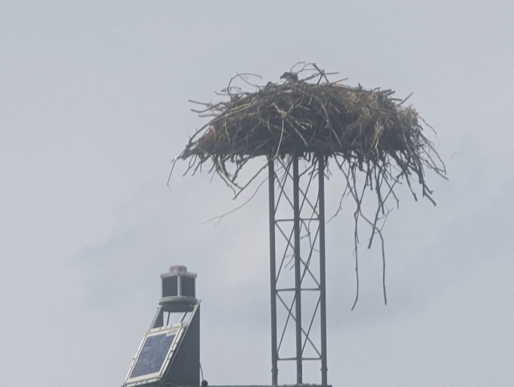
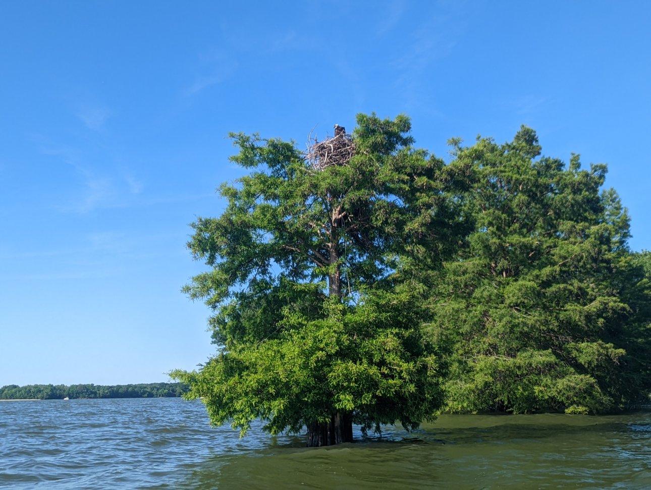
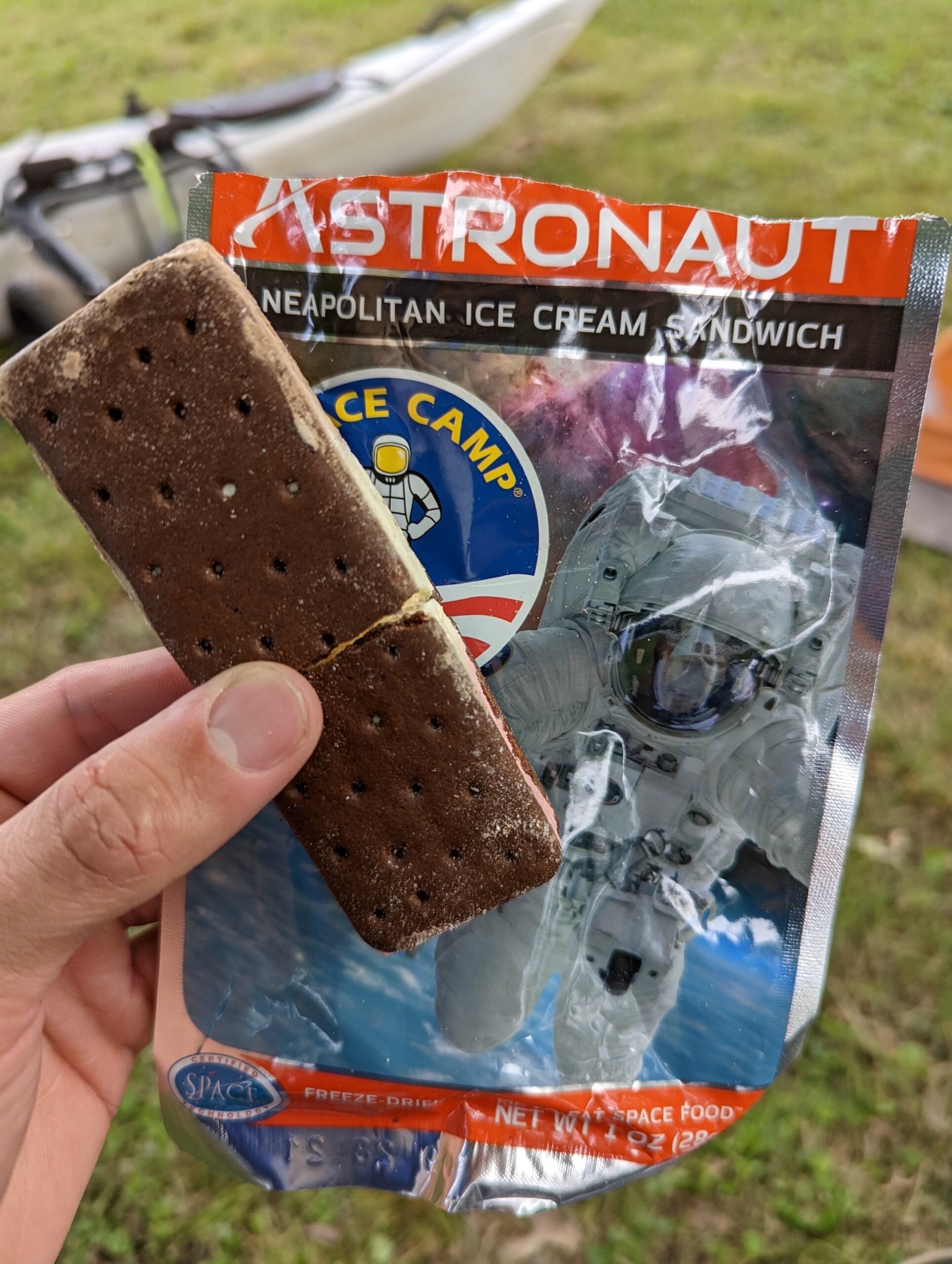
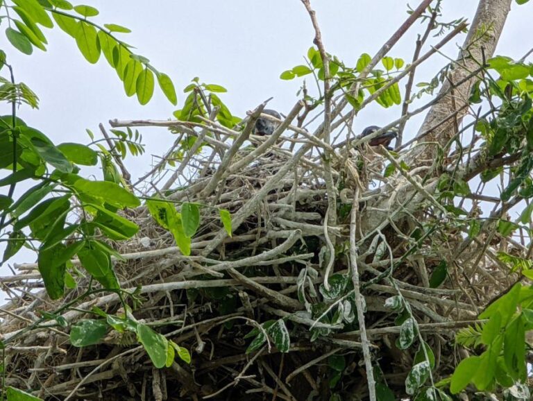
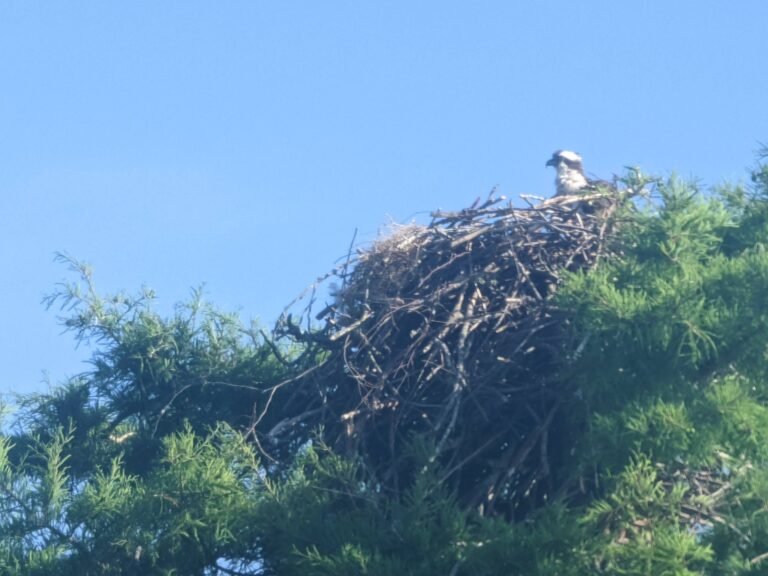
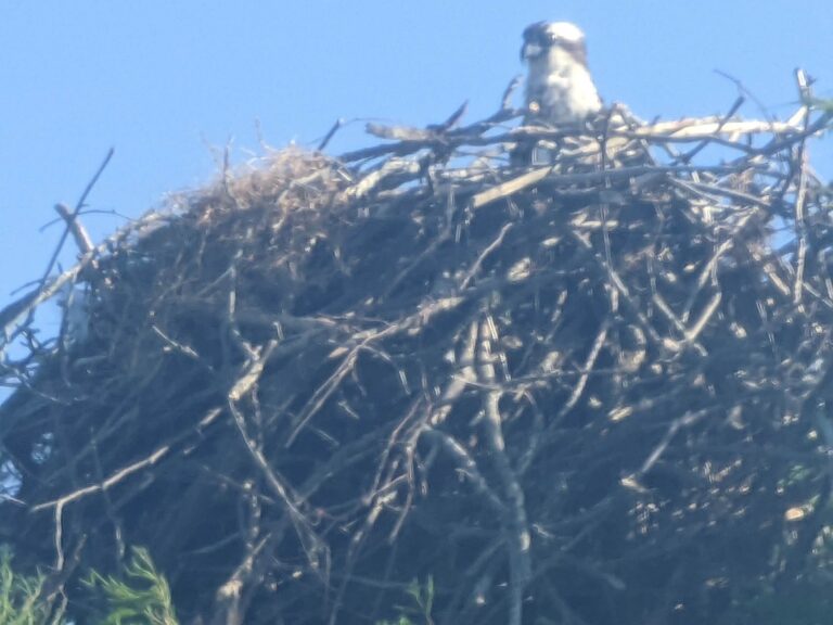
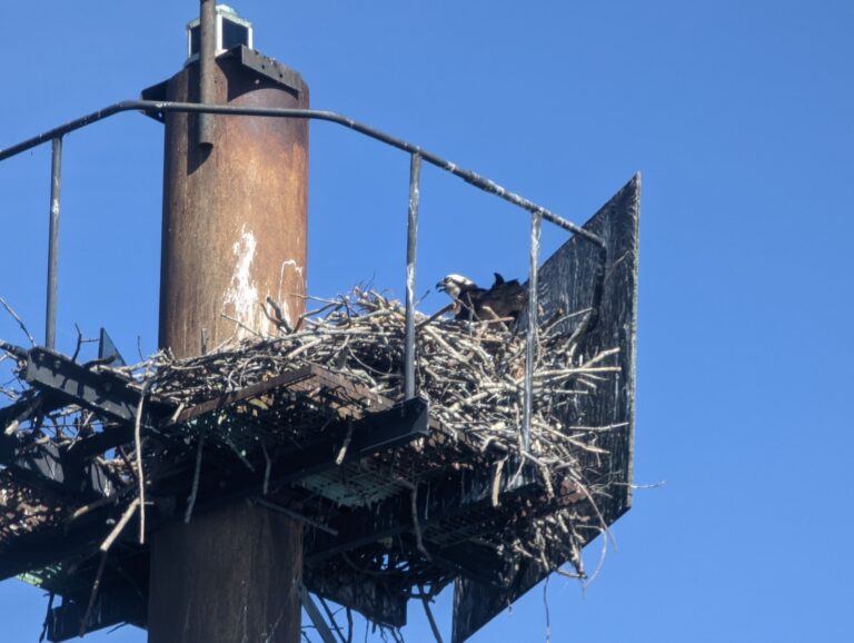
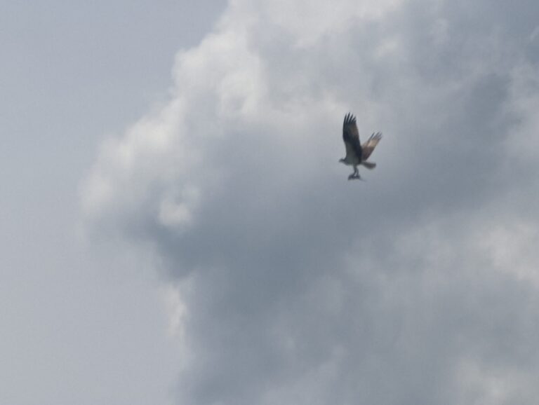
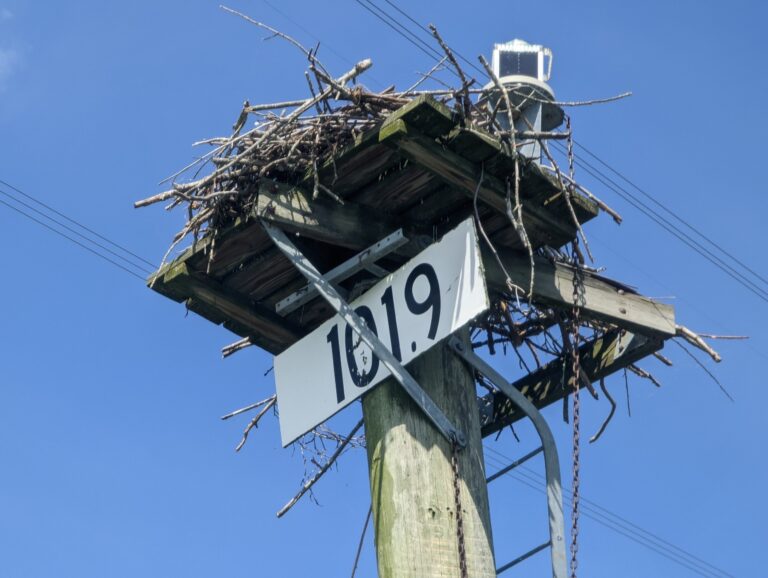
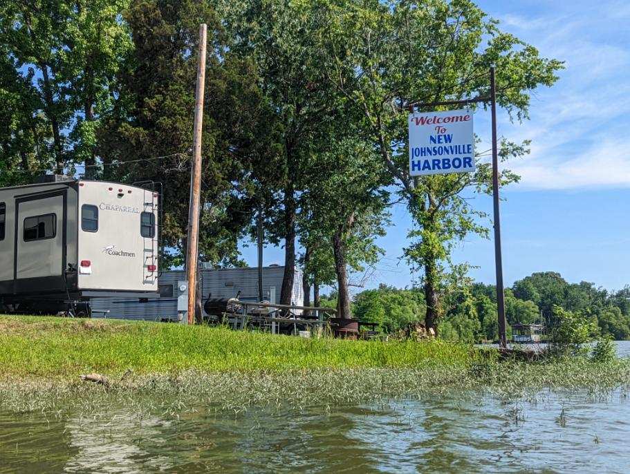
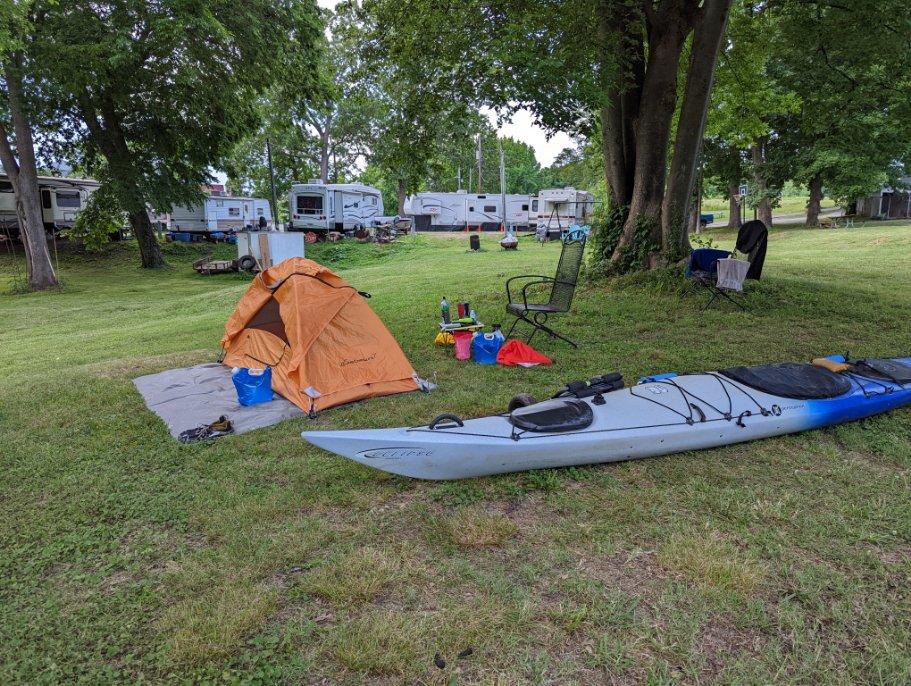
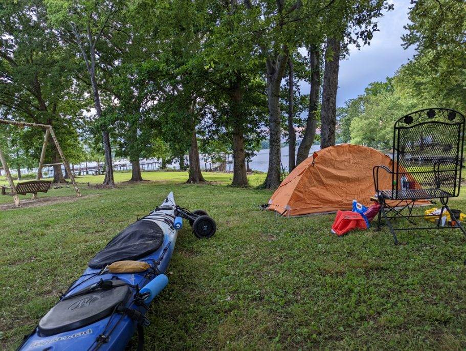
Starting mile - 119 Ending mile - 100.5 Launch time - 9:30 a.m. Takeout time - 4 p.m. Long before becoming a paddler, I was an avid runner. With all the runs I complete, once I reach the last 20 or 25% of the total distance, I always start to get anxious & excited about the impending finish. I felt that as I set out on the water this morning. Today started as hot as yesterday felt. The current was gone & there was no wind. I paddled out of the refuge & onto the river, quickly hoping for shade, but there wasn't a cloud in the sky until midday. At noon clouds quickly moved in & a light rain began to patter. I pulled over to equip my spray skirt, but as I finished, so did the sprinkling. I figured if it came back, there wouldn't be enough water to be a threat, and the skirt would just make me overheat, so I continued on without it. Light rain showered another minute here & there. The cool temps that the clouds & rain brought stayed with me an hour until I reached the full width of Kentucky Lake. On the lake at mile marker 109, I enjoyed my first osprey sighting in ~175 miles. The nestlings chirped away as their mother circled me. As I passed the nest I watched the adult male of the pair bringing its inhabitants a fish for lunch. I saw another at mile marker 101.9, which made me hopeful to see more & happy that I was almost to my campsite, New Johnsonville Harbor and Campground When I spoke with James, the campground's operator, this morning to check on availability, he was quick to invite me to stay. He was just as quick to welcome me when I pulled up. He made sure I had everything I needed & access to all the cozy camp's amenities. He even offered me a ride to the store after setting me up with a good spot for my tent. A hot shower after setup was more refreshing than I can describe, and brought some relief to accumulating bug bites. A kind summer resident of the campground shared a brief conversation with me & offered to buy me a couple steaks. I greatly appreciated his generosity but declined since I'd already eaten dinner. Veggie potato bowl was on the menu again, though tonight I also enjoyed some astronaut ice cream I'd been saving from a Huntsville care package courtesy of Terry Winland. The treat & kindness of the campground dwellers were perfect pick-me-ups for the warm evening. Storms are forecast for later tonight & tomorrow. I'm looking forward to the prospect of some rain with this warmer weather!
TJ's Travel Journal -- Day 34
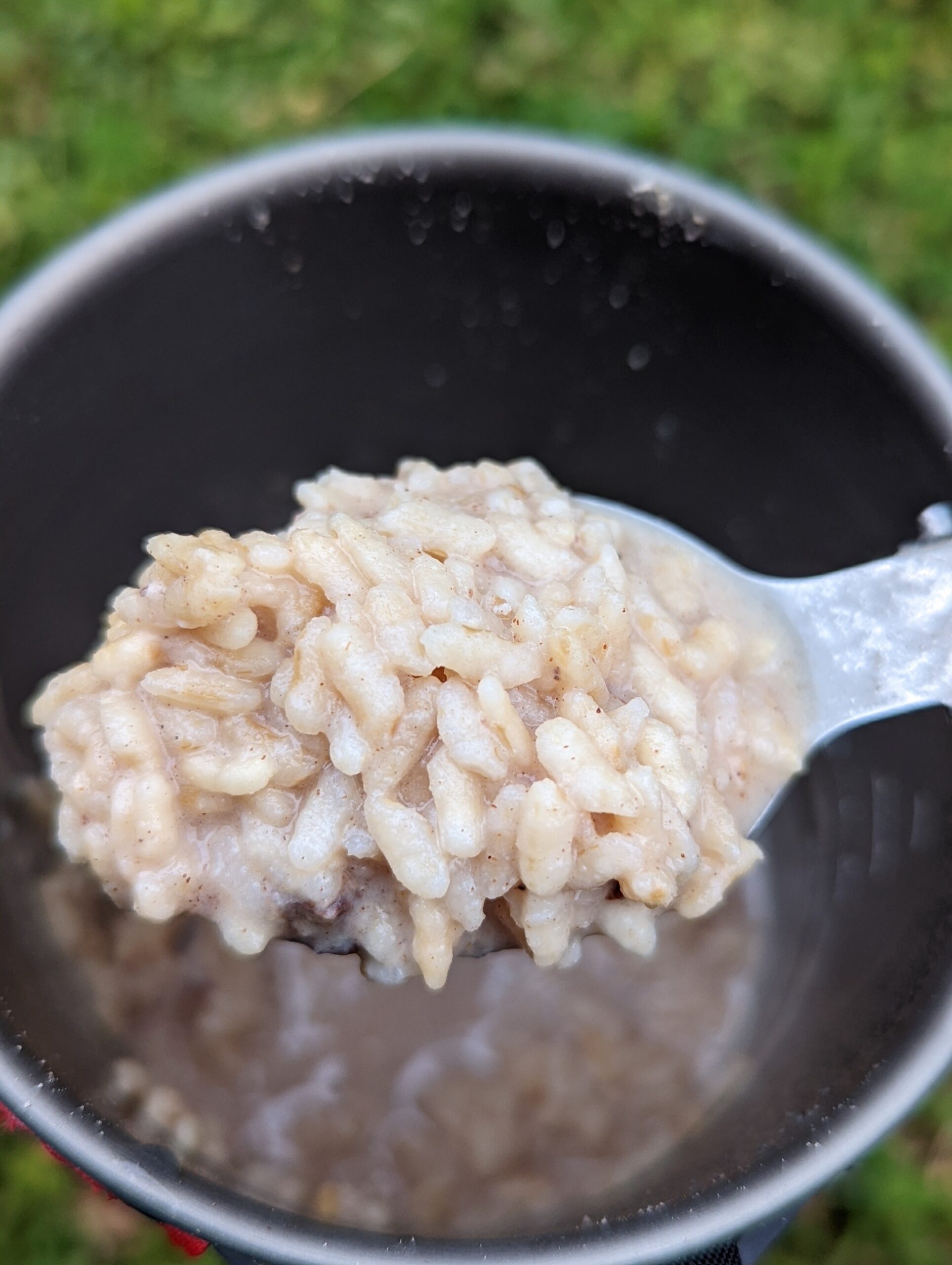
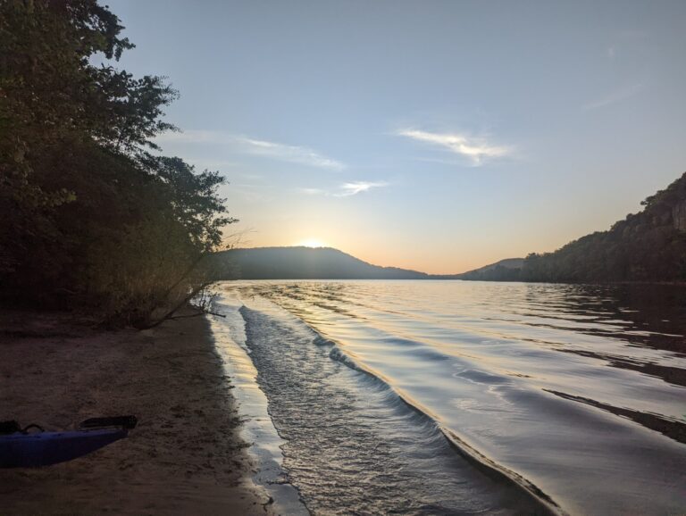
Starting mile - 100.5 Ending mile - 83.5 Launch time - 7:30 a.m. Takeout time - 3:30 Pp.m. Though my sleeping pad isn't holding air well throughout the night anymore, sleeping on a well-kept pad of grass was comfortable & revitalizing. It gave me the energy I needed to start my day quickly. I launched into a mild, mostly cloudy day. The stormy forecast had cleared up overnight, but wind was still projected. Around 10:30 a.m., the headwind began to blow against me. I was challenged navigating it, but I've paddled through much worse before. Kentucky Lake is vast & mighty, over a mile wide along its length. But it is less developed than the other reservoirs I've crossed. Despite passing four marinas & a few boat ramps in just 17 river miles today, the remainder of the riverbank is mostly conserved mixed hardwood forest. Nathan Bedford Forrest State Park helps keep this pristine forest on the western portion of the river here & appeared to have well-maintained amenities as I passed. Though the river is wide, many islands were present, including some that didn't show up on my map. The islands added to the challenge of identifying the most efficient route here but more so broke up the monotony of crossing such wide water. In the last hour of my paddle to destination Little Crooked Creek boat ramp, a light rain fell. It stopped just before I pulled up to the ramp, allowing me to set up camp unhindered. As I enjoyed dinner -- chai rice & tomato soup-- two men from the area who previously had driven through the turnout came back to chat. They learned of my journey & shared a story about another man they called "Driftwood"" whom they had met during his own journey a couple years ago. He started on the AT but ended up traveling the Tennessee River, eventually to the Mississippi. When he stopped here, they became friends. He stayed for several months with one of the men, working on his painting crew. The men made sure I wasn't in need of anything before wishing me luck & safety for the rest of my trip. I might've had the opportunity for a good job & a cool nickname like "Driftwood" here, but my sights are set on Paducah!
TJ's Travel Journal -- Day 35
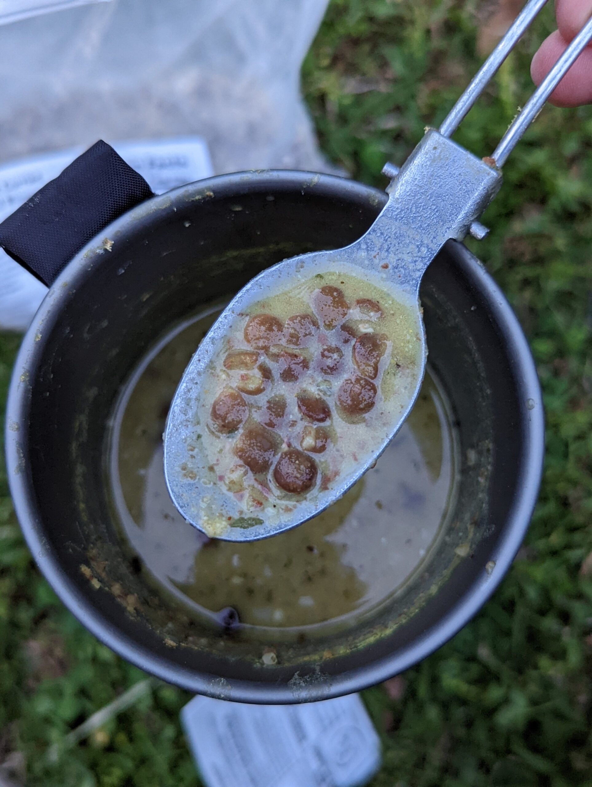
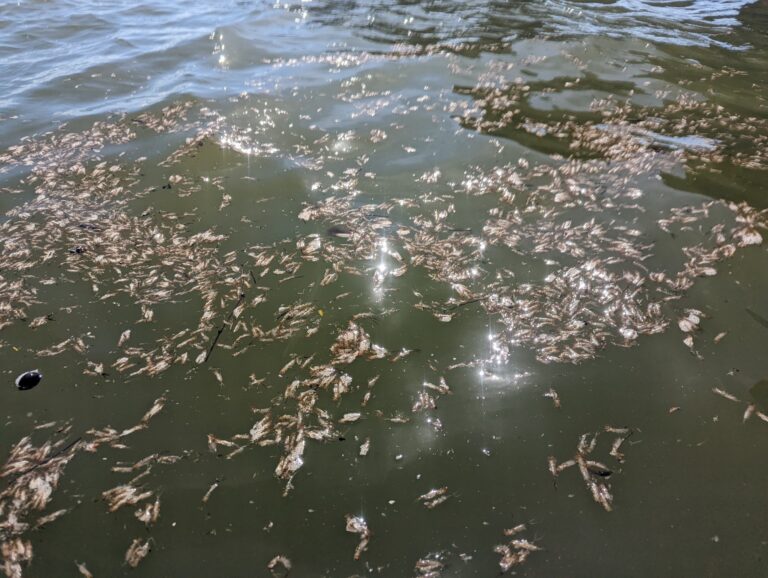
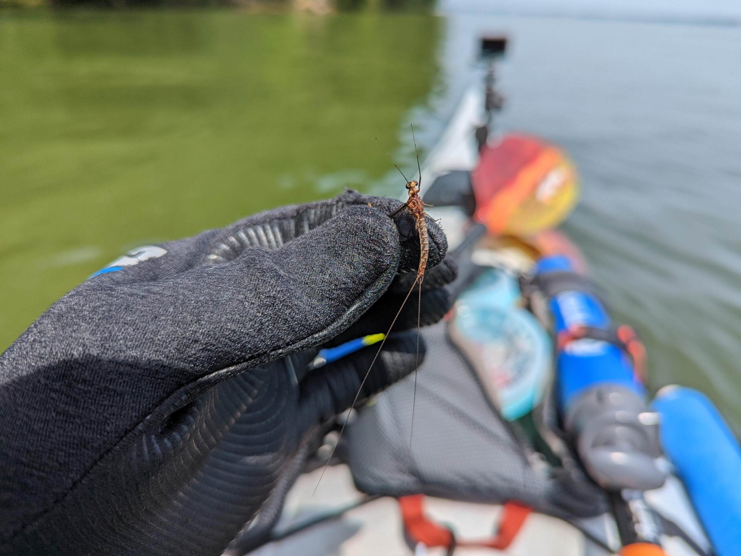
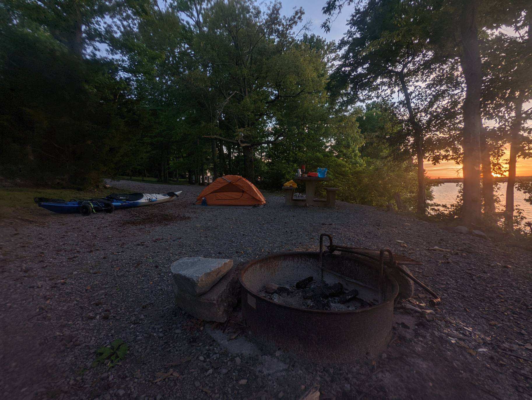
Starting mile - 83.5 Ending mile - 60.5 Launch time - 8:50 a.m. Takeout time - 6:30 p.m. Camp went down slow this morning. Last night was cold. I moved slower because of it, staying bundled up a few extra minutes. As I wheeled down to the boat ramp, I saw the ramp's (bent-over) rules sign for the first time, which stated camping was prohibited. Whoops! Despite a sluggish start, I came alive on the water. The sun was bright & few clouds were in the sky. A breeze blowing toward me kept the morning crisp. For the last short stretch yesterday, maybe an hour, I tested out paddling with some force & didn't feel negative effects for the first time in awhile. I knew I would need that to get off the water in a reasonable amount of time today, as the forecasted headwind picked up. I was thankful for the cooperation of my elbows & hands. Stronger wind came a couple hours into the paddle. From there it was white caps all day, save maybe an hour dispersed throughout it. I knew I had jinxed myself earlier this week when I commented that the 30-miler was my hardest paddle left! The ability to use my muscles kept me in high spirits & motivated for most of the slog. Paddling through the middle of Kentucky Lake, I passed several large bunches of mayfly larva exoskeletons but didn't see any adults until passing Piney Grove Campground -- which looked so comfortable I was tempted to stop early. I learned when passing these mayflies that they perch on the leaves of trees along the shore in great numbers. As I passed 20 or 30 yards offshore, a battalion of them swarmed me. I thought I picked them all off, but half an hour later I felt one bite under my chin. I continued finding them for the next hour until reaching camp at Boswell Landing Campground. I was happy with my choice to continue here from Piney Grove. Boswell Landing was beautiful. Though there isn't running water, each site is shaded and has a large lightly graveled pad, picnic table & fire ring. Well-kept grass & trees separate the sites. The campsite appeared popular, with 10 or so of the sites on the other side of the campground already occupied by mostly locals, based on my conversations with them. Pulling up late, I managed to finish set up before dark despite my worry. After a wild day of paddling I decided on an equally wild dinner. I combined the tomato soup & potato veggie bowl mixes. Sometimes you just have to live a little. Tomorrow should be similar wind but a few less miles, then tailwinds are forecasted for my last two days!
TJ's Travel Journal -- Day 36
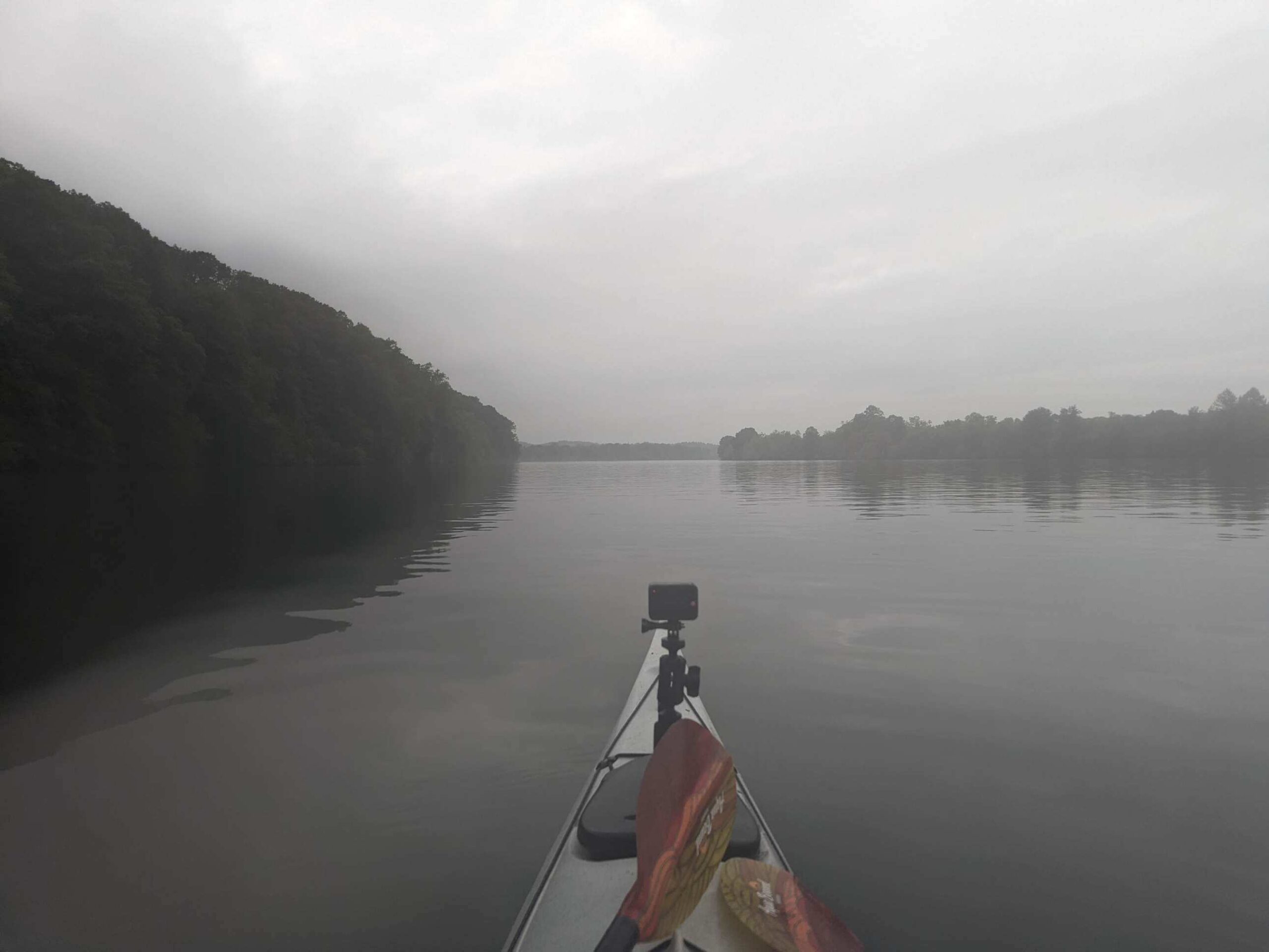
Starting mile - 60.5 Ending mile - 42 Launch time - 8 a.m. Takeout time - 2:30 p.m. Despite late night music & activity of Boswell Landing's campers that kept me from sleeping, I woke & packed up quick to try to beat today's forecasted wind. I paddled out of the bay with the morning fog, feeling some fatigue & strain from yesterday's ordeal. But today the water was like glass, melding with the sky in the horizon. It looked as if I would eventually fall off an edge if I kept paddling. The river was a straight 18.5 miles to my destination. The river was straight, without islands, and with similar vegetation to the other parts of Kentucky Lake. But an uncommon stretch of bluffs for a few miles broke up the eastern side of the river, which is mostly preserved land outside of access points & campgrounds as part of the Land Between the Lakes National Recreation Area. On the western side were what looked like mostly private homes speckled into the forest throughout the day. A boat race must have taken place because boaters began roaring past on the Kentucky side of the lake, like the waves from yesterday, in large groups around 10 a.m. I was glad to be along the Tennessee bank of the river, but I still felt the effects of their wake. Just before I reached Rushing Bay Camping Spot, nine miles away from my destination, I began to see the bridge that marked it on the horizon. Shortly after, I entered Kentucky state, signaling the last 50 miles of my journey. By the time I reached the state line, the water had finally calmed from the boaters' barrage. I was surprised at the day's overall gentle waters -- the late morning & early afternoon headwind was negligible. The boaters sped back across in the opposite direction just before 2 p.m. as I approached my campsite, Fenton Self Service Campground. The campsites were a short walk inland from the boat ramp. I'm unsure if I made it to an official site, but I found a clearing with a fire pit & spotted shade off a bike trail about 400 yards up from the ramp and plopped down for the night. Finishing earlier in the day & without much trouble was a big relief. After setting up, I looked to fill my water jugs up at the pump along the path I entered on, but the water appeared to be shut off. Luckily I have enough to get me through tomorrow. The campground, a part of the Land Between the Lakes Regional Water Trail as is Boswell Landing, is still a comfy place to rest. I would happily come back. This is my last night camping since Blair Travis, a river angel in Calvert City, has arranged a room for me to stay in tomorrow night. I'll never get tired of sleeping on the ground, but I'm looking forward to a hot shower & a cozy bed indoors!